Path lenght:
Mount Saccarello
16 Km
1100mt
Medium
Yes
Second part of June
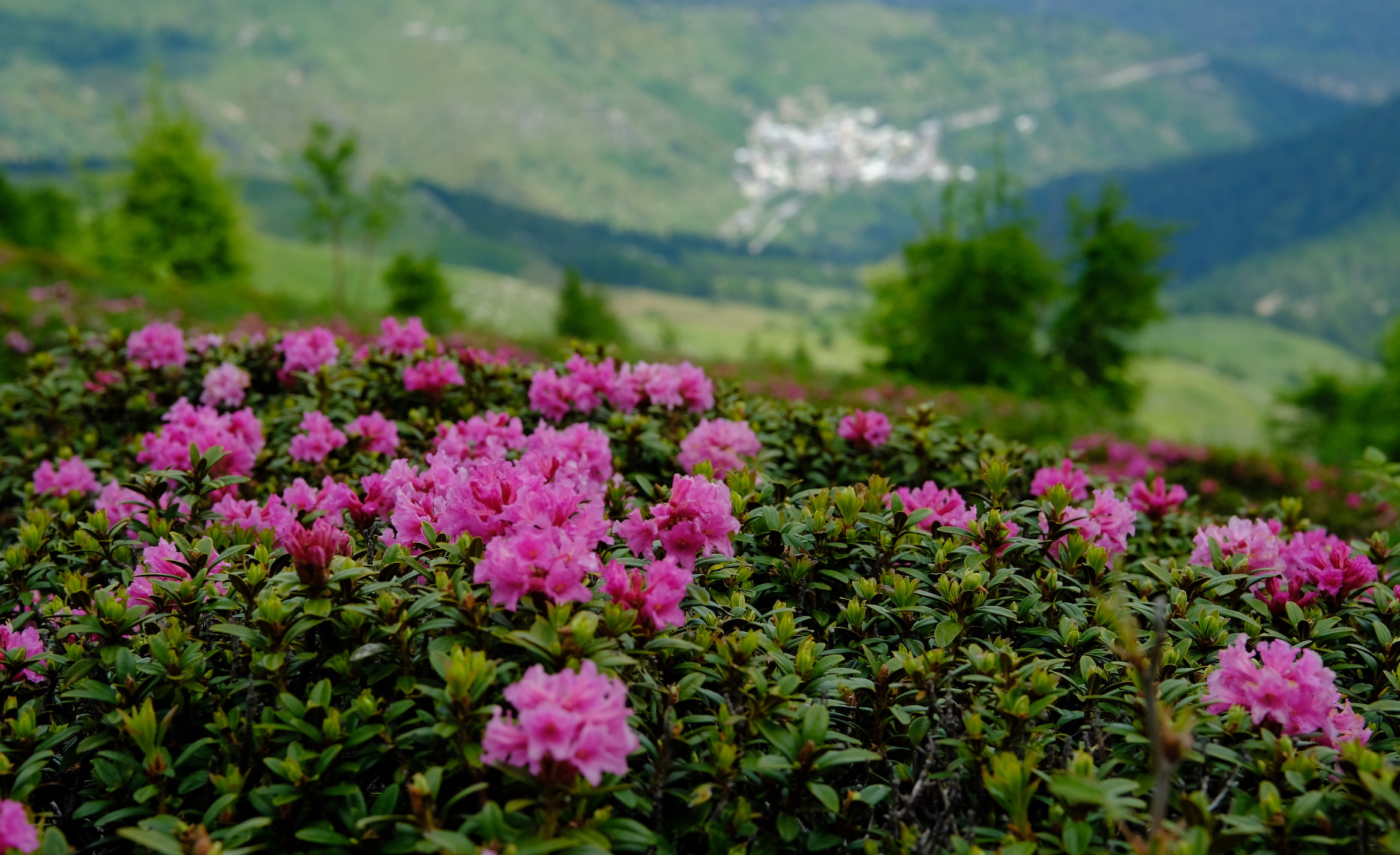
The Europe largest rhododendrons flowering, at the foot of mount
Saccarello.
PURPLE MOUNTAINS
Path lenght: 16 km.
Purple mountains
We share the coordinates:
44.076187, 7.747068
(Copy and paste in Google Maps search label)
The starting point of this beautiful loop tour, in the earth of Ligurian Alps Nature Park, is the parking lot of the Monesi di Triora chairlift, which can be reached after having traveled the connecting road rebuilt and inaugurated in 2020, 4 long years after the heavy rains and landslides that hit the whole area, especially the hamlet of Monesi di Mendatica (insight here, in italian language, by Arpa piemonte).
The territories we were seeing were enchanted but at the same time fragile; in our opinion they needed greater attention from politics, more timeliness of intervention and greater enhancement of the territory.
Today, thanks to the continuous increase in global ecological thinking, something is moving, but there is still a long way to go ...
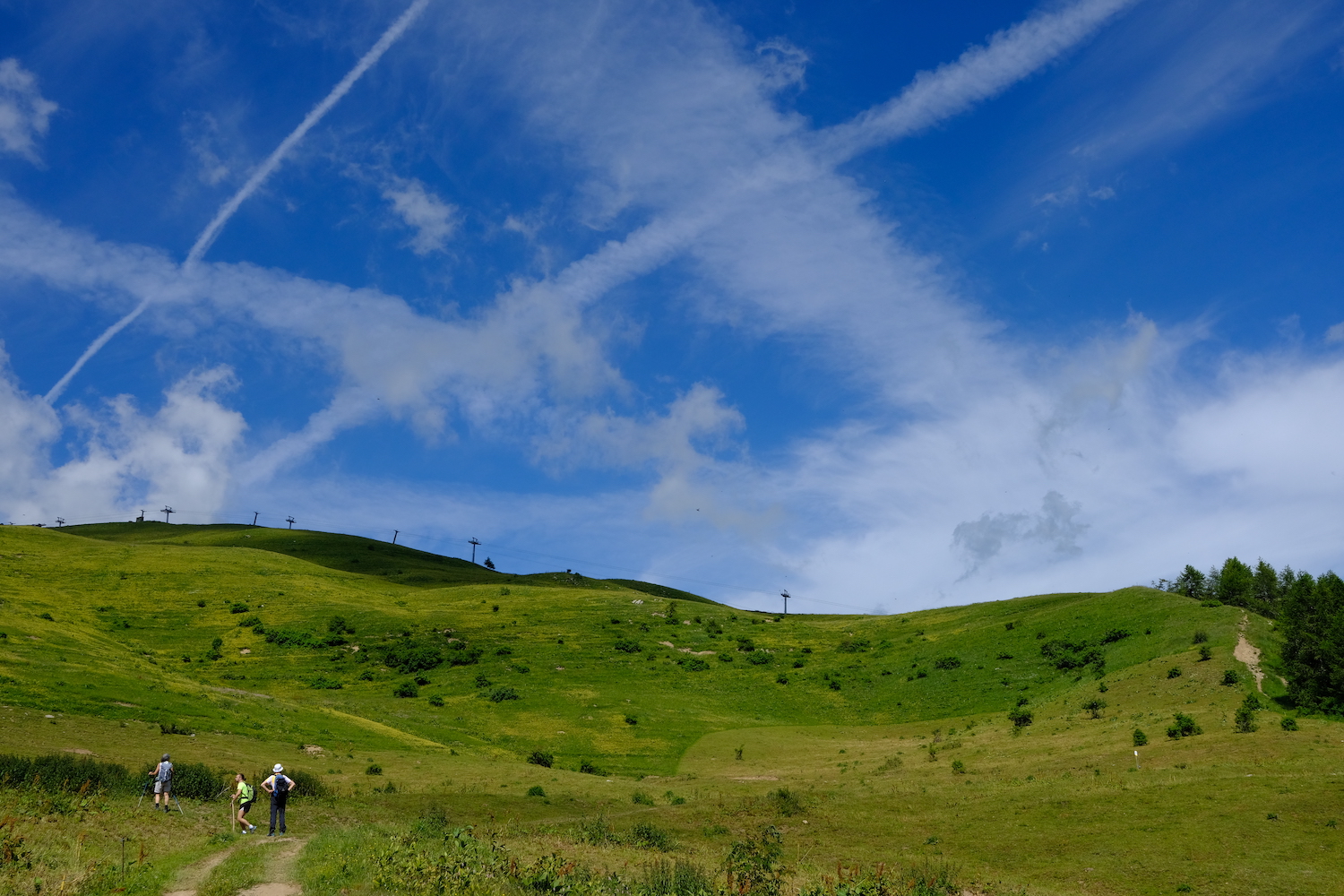
From the parking lot, we followed the former military road that ran alongside the chairlift (which was also never reopened) looking for the point from which the path chosen for the excursion would subsequently start.
The sky was completely clear, the temperature pleasant, and the landscape majestic: while on our left the Frontè rose, on our right we could see the ridge that reached up to the Saccarello, and behind us was the Marguareis massif.
However, something did not add up: when we arrived at the point marked on the map, the correct path was beyond the electric wire that delimited the area of a pasture.
Speaking with a shepherd (gruff and cautious, in full Ligurian style) we learned that we could have continued quietly, as long as we were away from the areas manned by the herd's guard dogs, used to ward off wolves, a great return to these areas.
His words were not reassuring, but they prepared us for what would happen next: we repeatedly changed our path to get away from the alarmed sheepdogs, and in addition there was a general stampede to get around a threatening and kicking bull, ending up in an area full of nettles, with the layout to be invented.
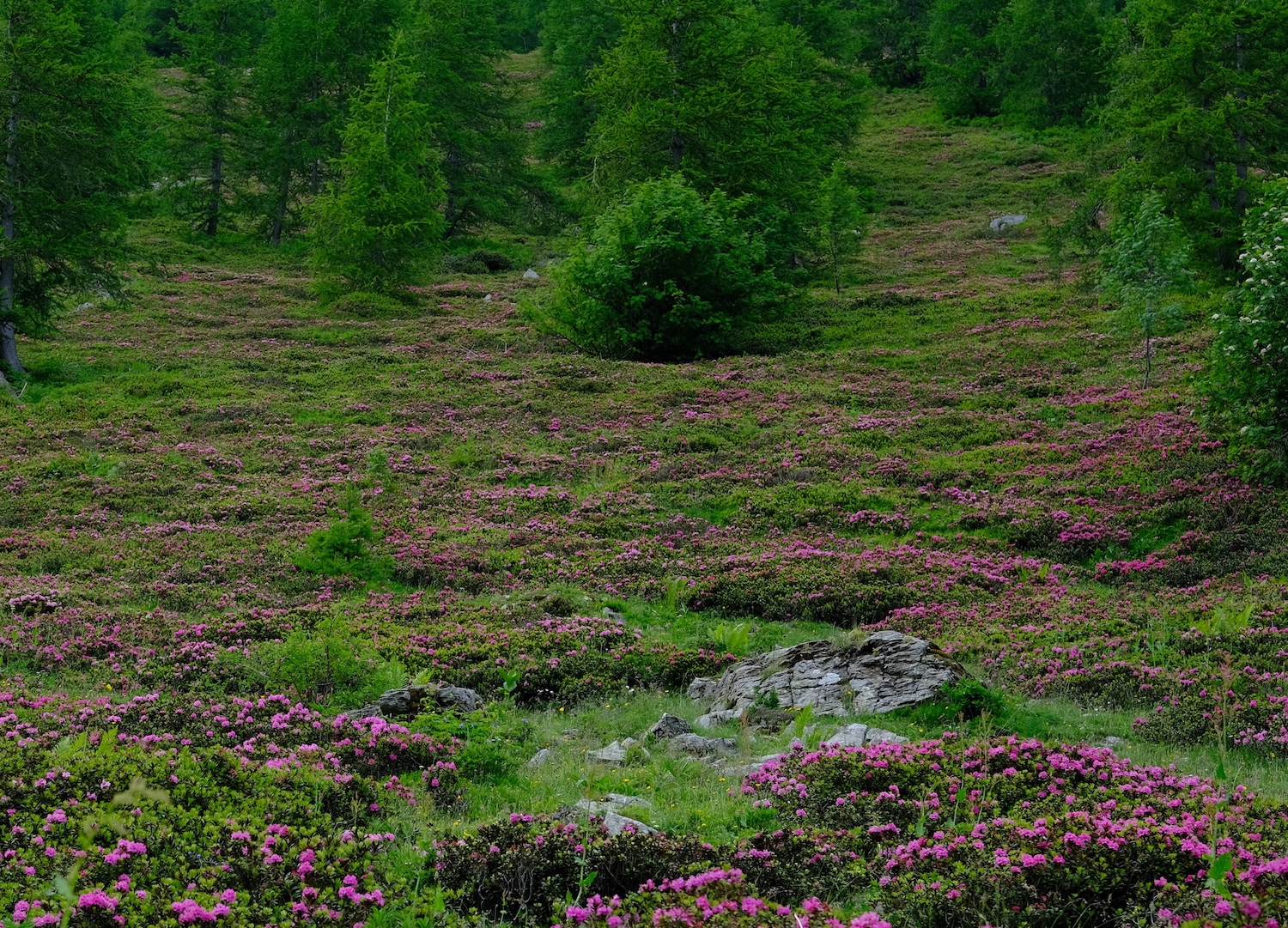
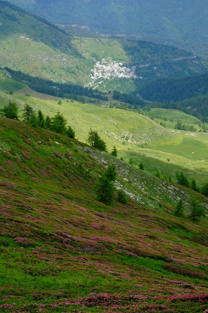
But once here, we began to glimpse a flash of purple, and as we got closer, the stain became bigger and brighter.
Before us we had a unique sight: endless expanses of blooming rhododendrons painted on bright green areas used for pastures.
Once we arrived at the Garlenda pass, among the distant whistles of some marmots, we walked towards the ridge path, on the famous salt road.
La Terza refuge, with its unforgettable sweets, was a little further on.
After lunch, with the ever-increasing cloudiness (a very common thing, in those parts), we set off again, and taking advantage of the carriage way we passed by the gigantic statue of the Redeemer, leaving behind us the summit of Saccarello, shrouded in mist.
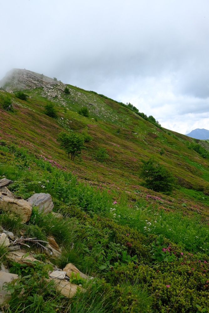
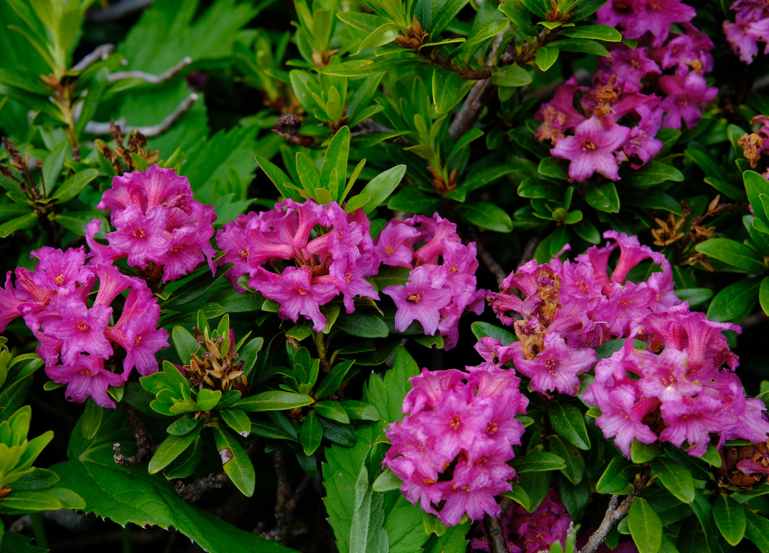
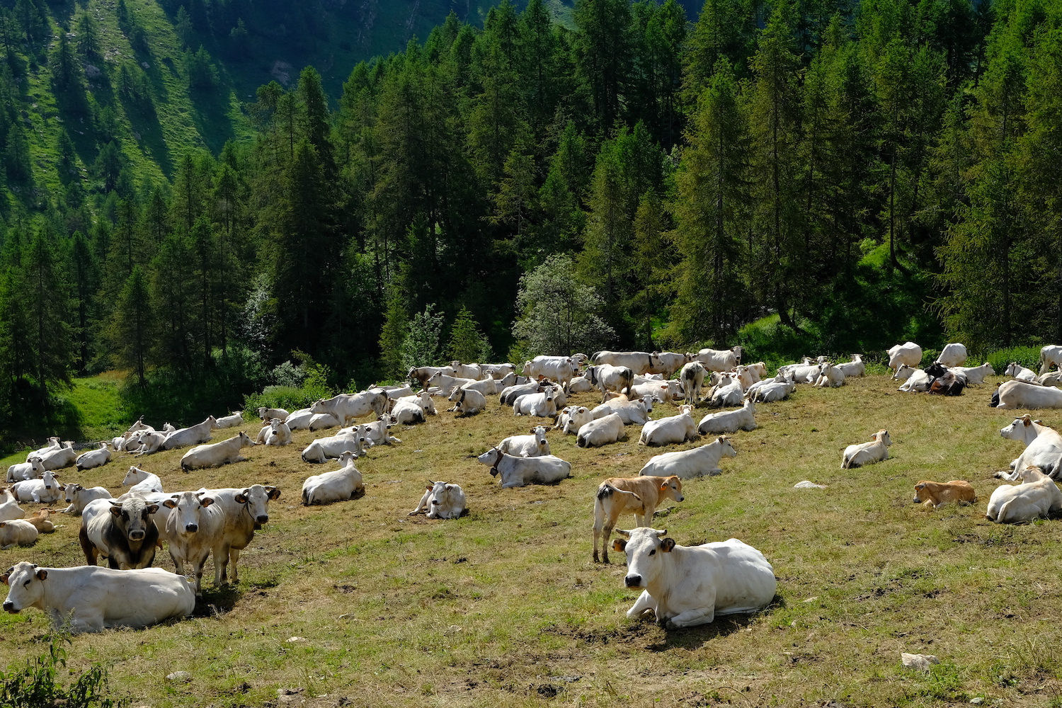
In this part of the off-road journey and motorcycles spoiled the tranquility and peace, which we found a little further downstream, passing through a herd of cows and calves intent on chewing on fresh grass.
Perhaps the salt route via noisy means is a compromise to help develop tourism in the area, although we believe that the contribution of this kind of tourism does not always concretely help the entire mountain chain.
The mountain is for those who breathe it silently, walking among the blooming rhododendrons and grazing herds, trying to savor the history of the territory with its peculiarities and its products, the ultimate effort of people, farmers and breeders who continue the tradition of a time.
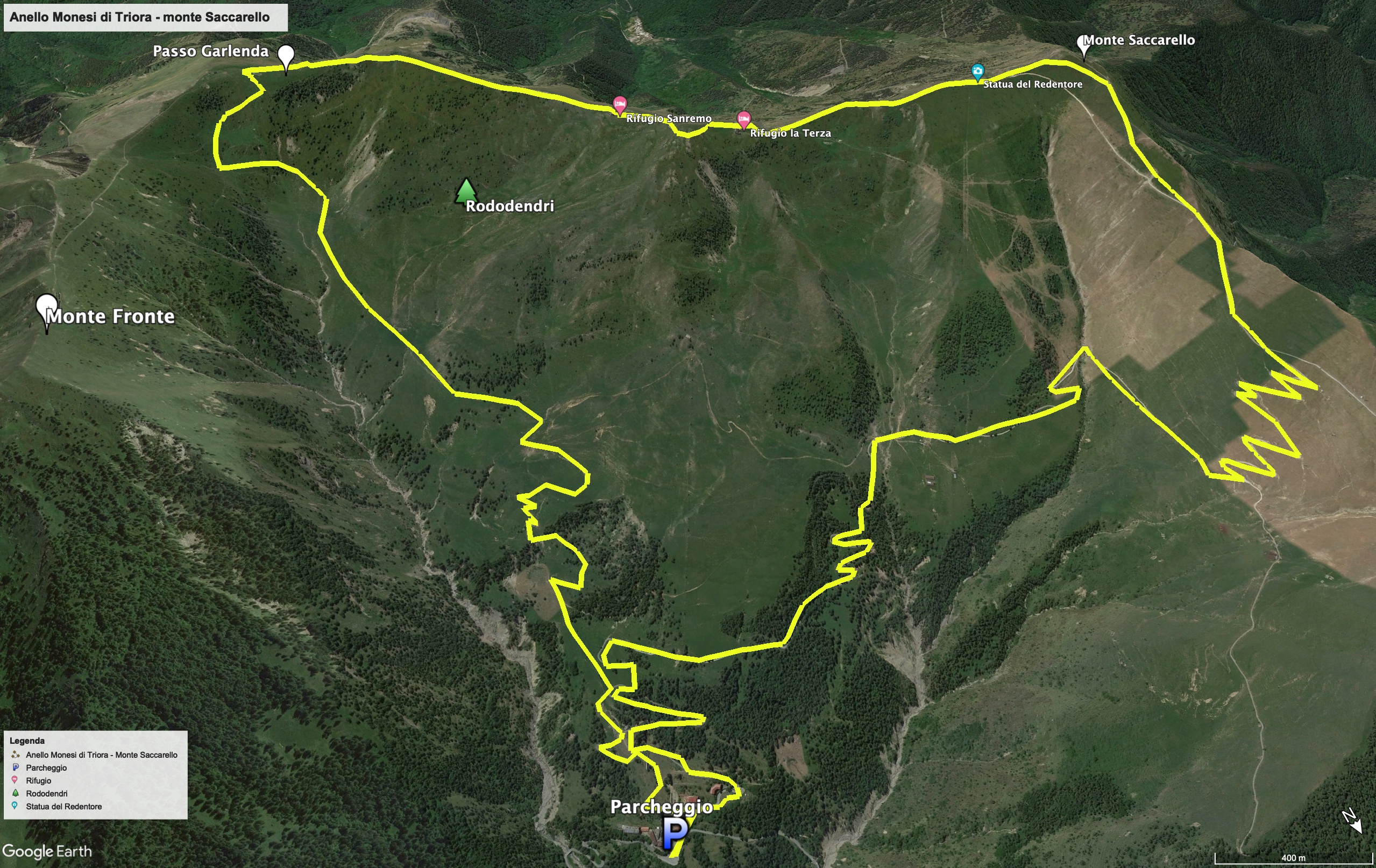
Trekking Map
That's all! If you like this text or have any question, leave a comment below.


Comments powered by CComment