Path lenght:
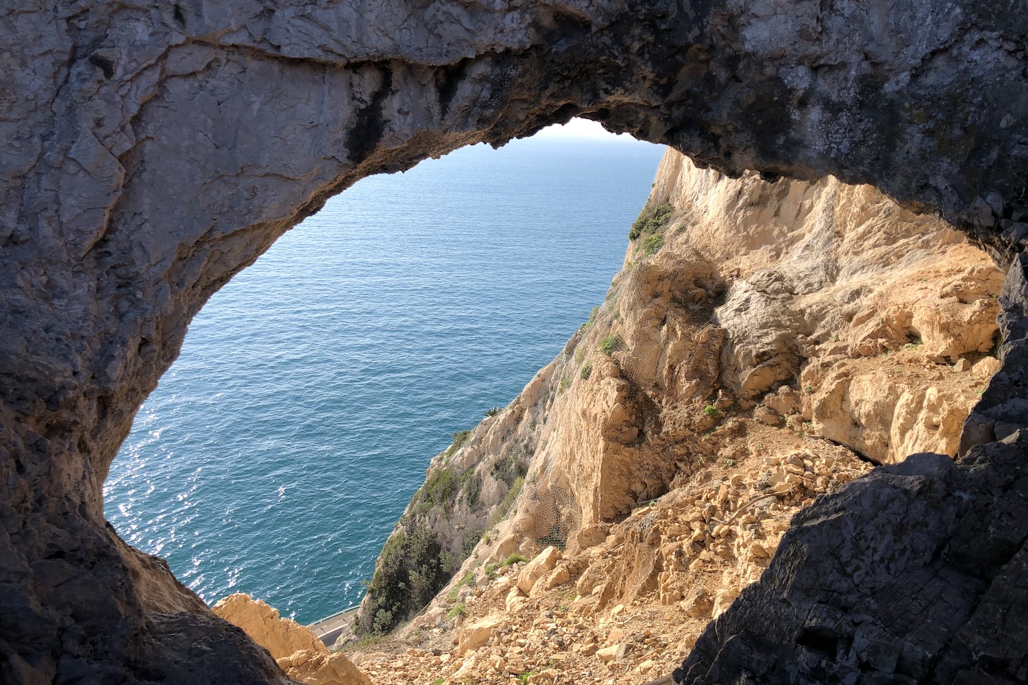
Grotta dei Falsari
300 mt
7 Km
Medium
No
January
Immersed in the scent
of the shrubs of the
Mediterranean maquis,
you will often stop
to take
photographs.
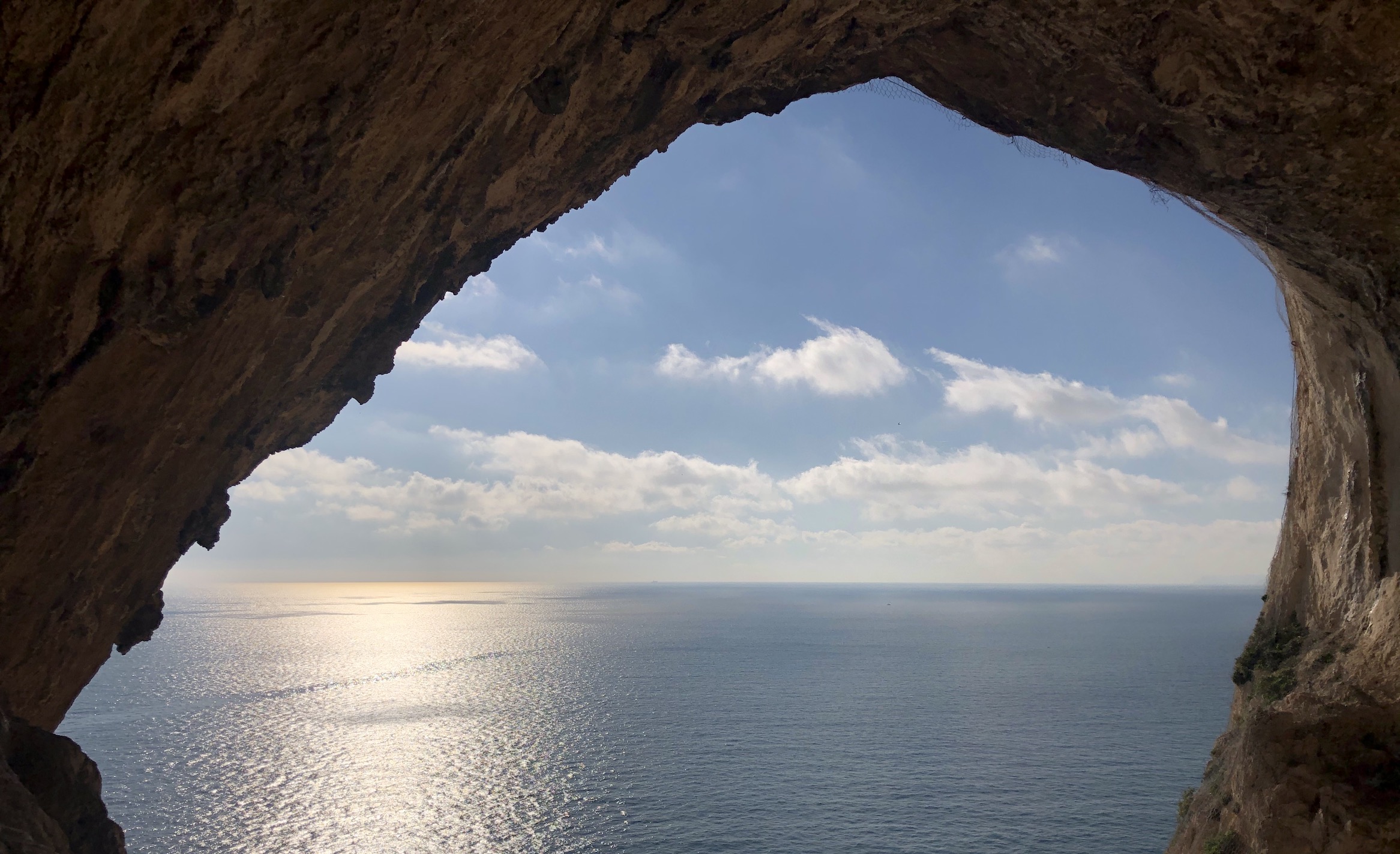
SARACENS ON THE HORIZONT
Path lenght: 7 km.
Saracens on the horizon
We share the coordinates:
44.183227, 8.403672
(Copy and paste in Google Maps search label)
Useful info:
We have chosen Varigotti as the starting point for this trek, alternatively it is also possible to start from Noli.
The only drawback, the parking: arrive early or choose weekdays!
The route is not circular, so it is advisable to return from the outward route, alternatively there is a bus service that travels back and forth (check days and times well).
We strongly advise against walking along the Aurelia, as in that stretch it has no sidewalks.
During the route, which we do not recommend doing in the summer due to the heat, there are no sources of water, so do not arrive unprepared.
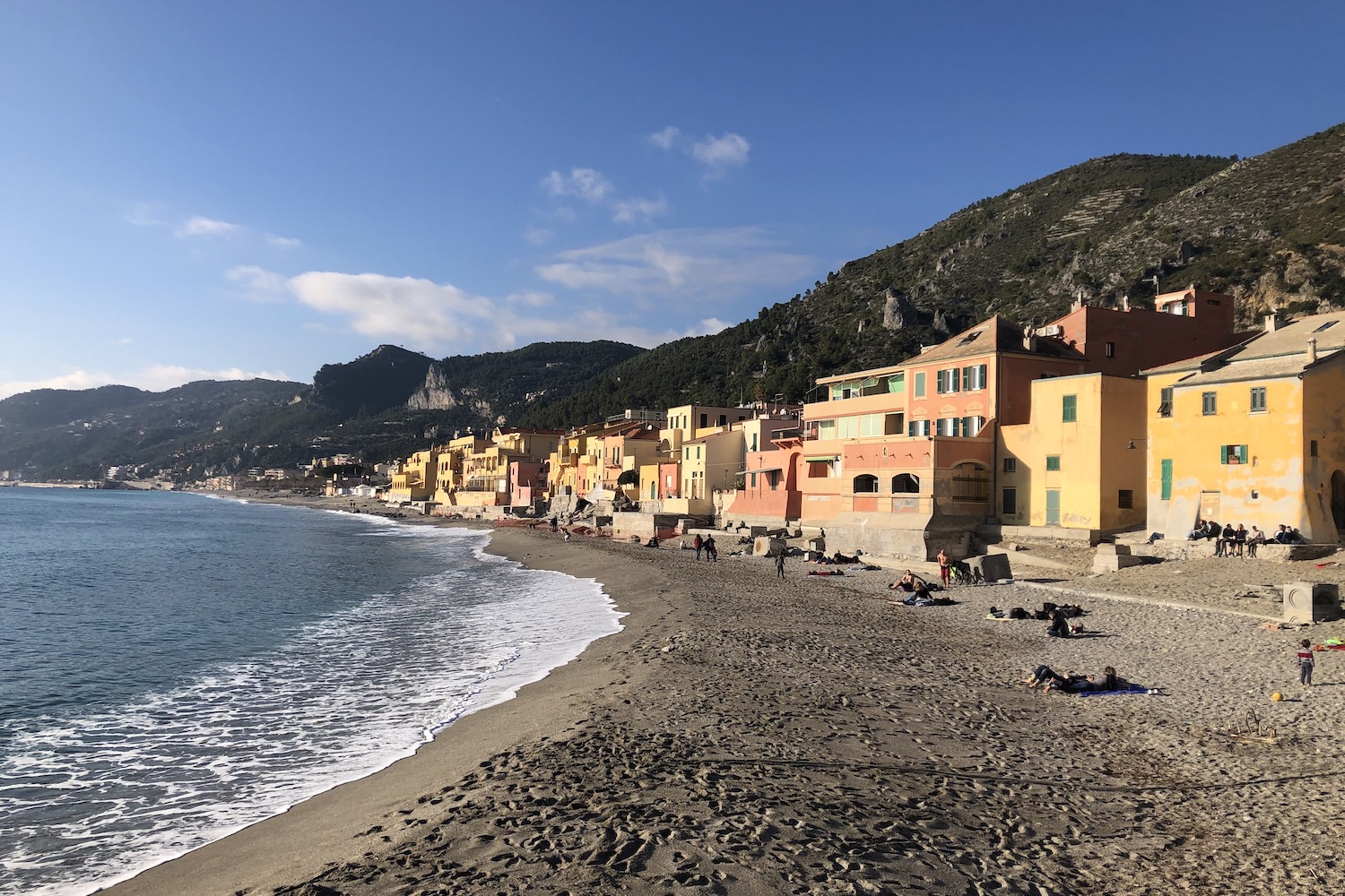
Saracen ship in sight!
Certainly, many centuries ago these words would have generated panic among the local population, since the so-called Saracen bay was the landing point from which pirates carried out looting and looting. The only thing that could be done at the time was to escape inland to safer places.
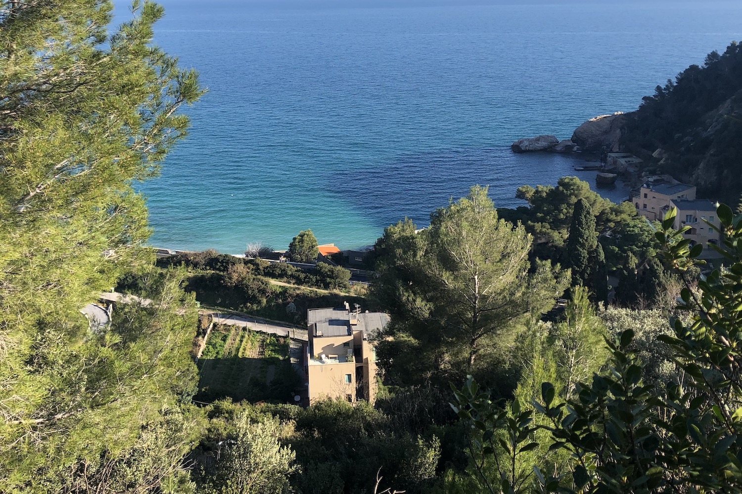
Nowadays the only things that have remained the same as then are the beautiful beaches and the jagged coastline washed by the turquoise sea, clearly visible from the cliffs on which the route we propose in this article is traced, practicable practically all year round (except in the summer period ): we are talking about the Pilgrim path, one of the most beautiful treks of the entire western coast where, immersed in the scent of the shrubs of the Mediterranean scrub, you will often stop to take photographs at every point of the panoramic route admiring the Malpasso beach and the Bay of the Saracens.
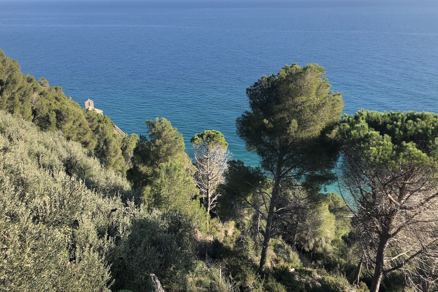
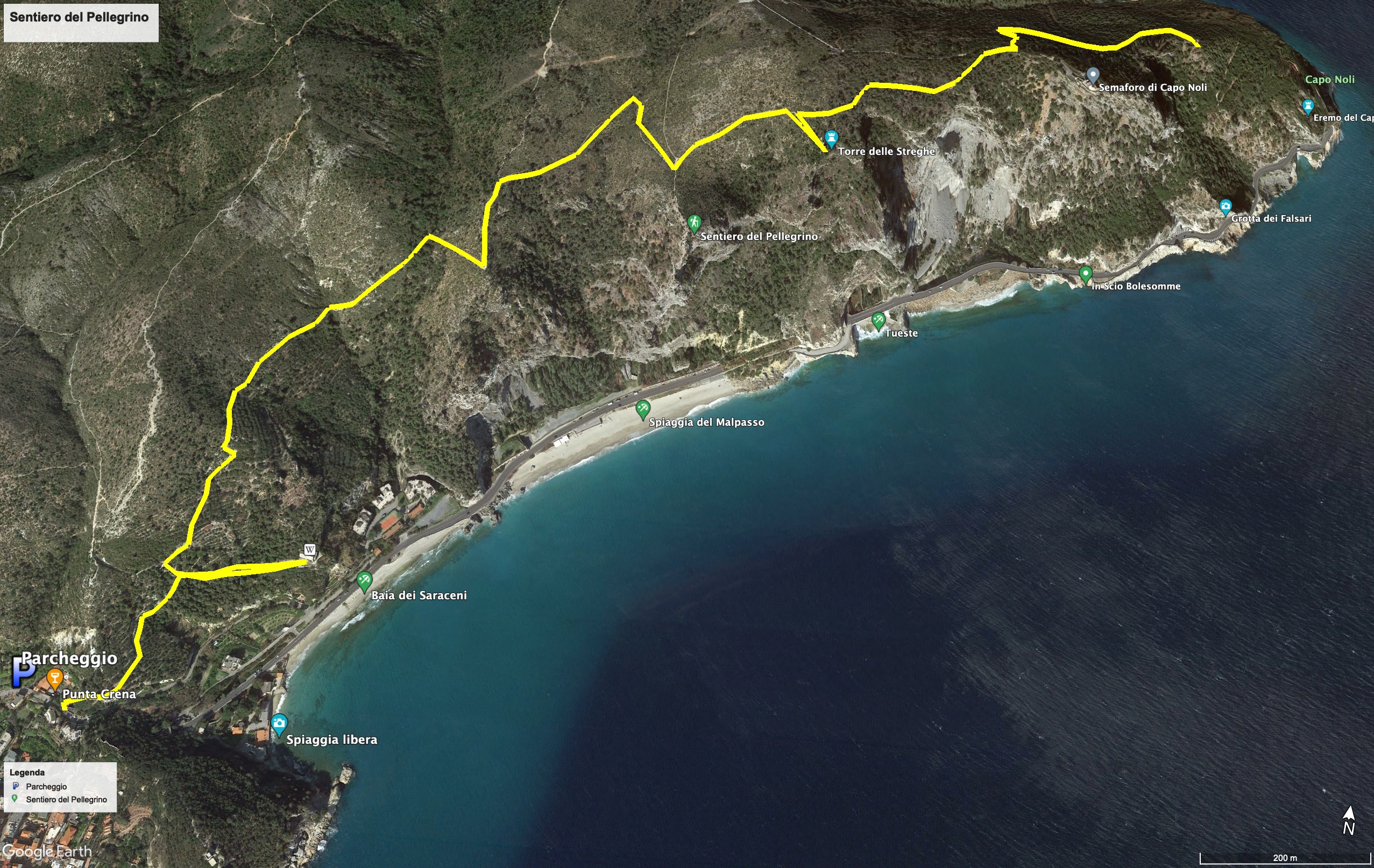
From Varigotti take the stone path in Via Strada Vecchia, which climbs quite steeply from the signpost towards the small 13th century church of San Lorenzo, surrounded by fields planted with olive trees.
When you get to the top, the view sweeps over the Saracens Bay and Punta Crena, unmistakable for the tower on its top.
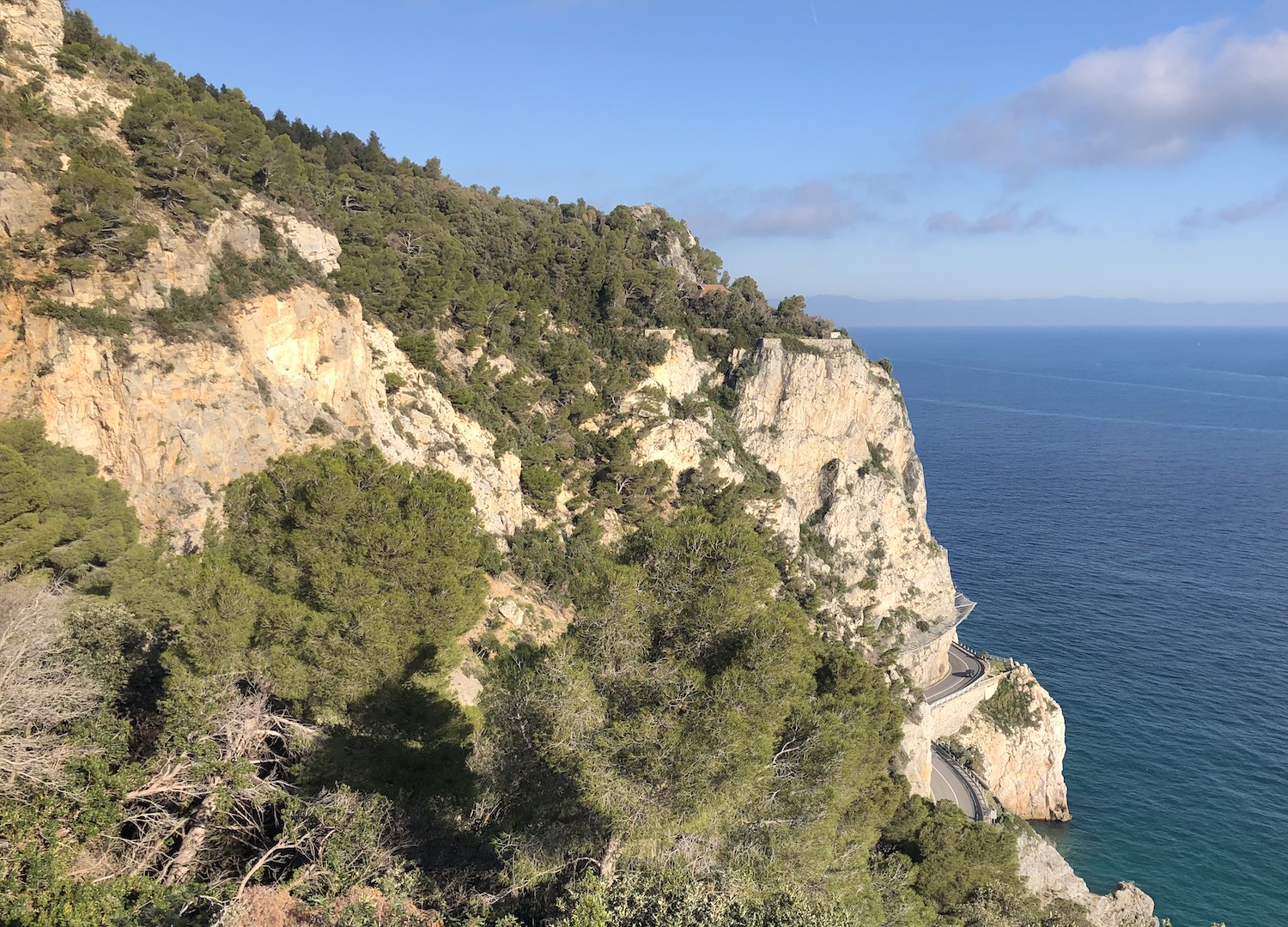
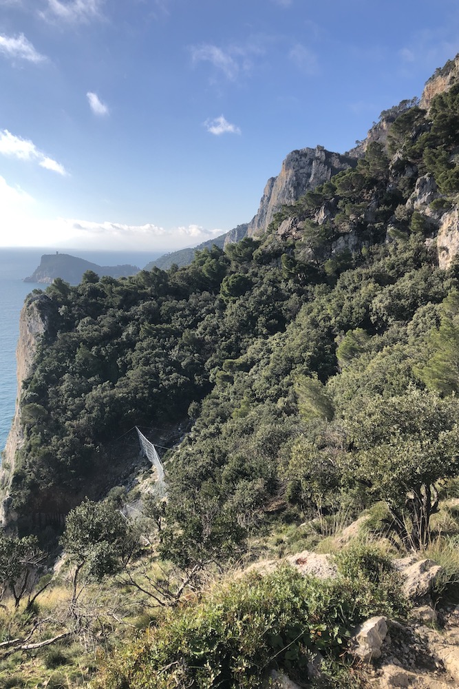
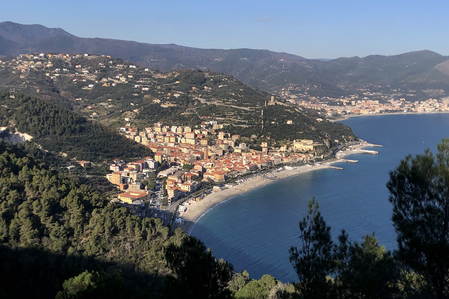
From this moment the path becomes almost flat and enters the Mediterranean bush, from which it will be possible to walk along the panoramic path that runs along the cliff and leads first to the Torre delle Streghe, and then to the Capo Noli traffic light, with a beautiful view from which you can see the small town of Noli and the curvilinear coastline, where the Aurelia seems to resemble a river bed.
Continuing the path, you begin to descend towards the sea, and shortly afterwards you reach the crossroads from which the stretch to reach the suggestive Falsari cave, a rocky cavity from which you can enjoy an incomparable view of the sea.
The route ends in Noli, where you can take the bus that runs along the Aurelia towards Varigotti.
Trekking Map
That's all! If you like this text or have any question, leave a comment below.


Comments powered by CComment