Path lenght:
Fort Righi, GE
Fort Diamante
8 Km
400 mt
Medium
Yes
October
in the Park area
of the Walls of Genoa,
once bulwarks
of the city's defence system.
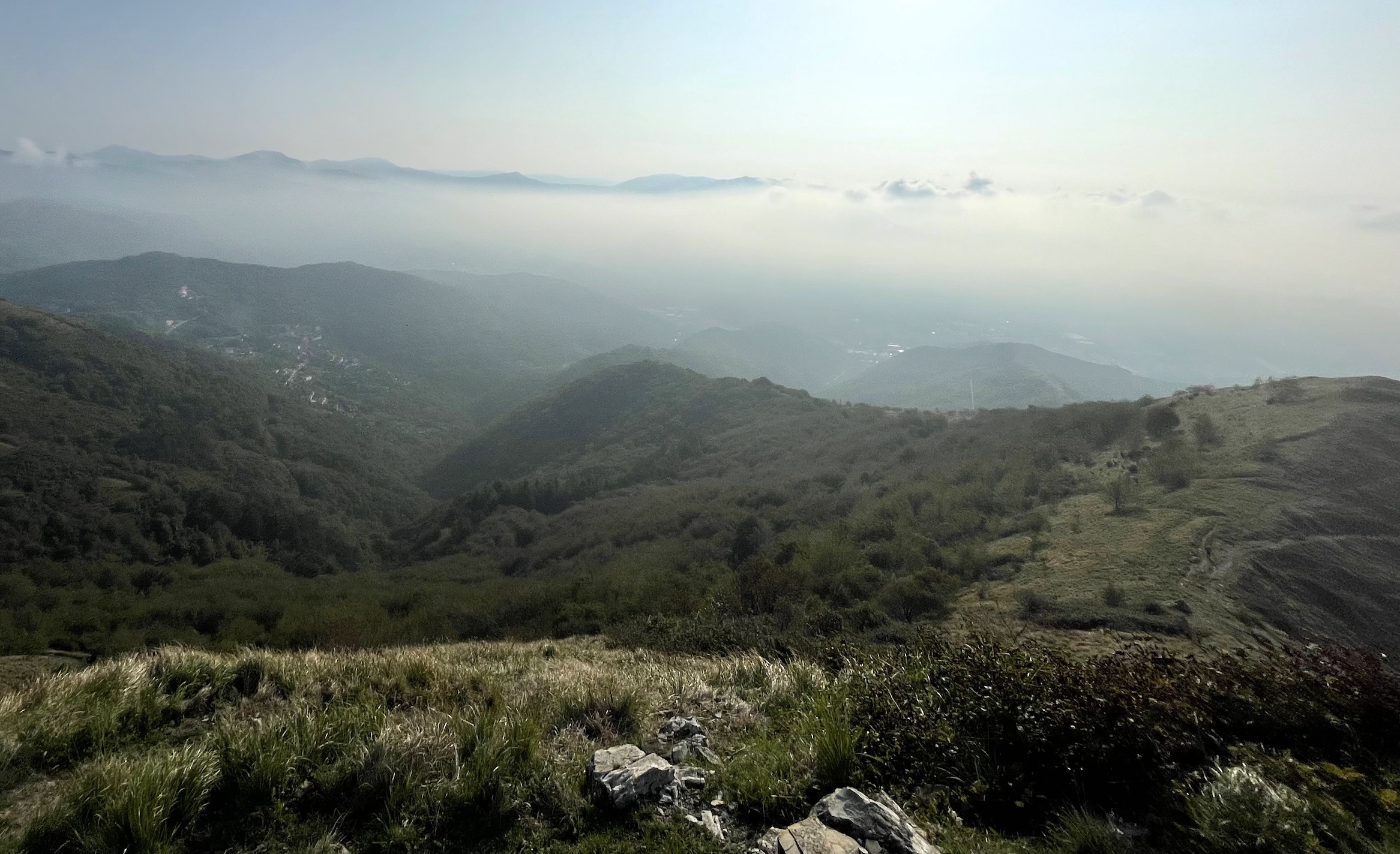
EXPLORING THE PARK OF THE WALLS
Path lenght: 8 km.
Exploring the park of the walls
We share the coordinates:
44.435141, 8.932158
(Copy and paste in Google Maps search label)
The park of the walls of Genoa is certainly one of the best known and most frequented places by the Genoese, ideal both for those who want to walk in peace in a decidedly more mountainous and less urban context, and for those who practice mountain biking or running.
The area of the park which includes some old forts is located between the Polcevera valley and the Bisagno valley, on the hills north of the city, and was part of the kilometre-long defensive system that once protected "la Superba".
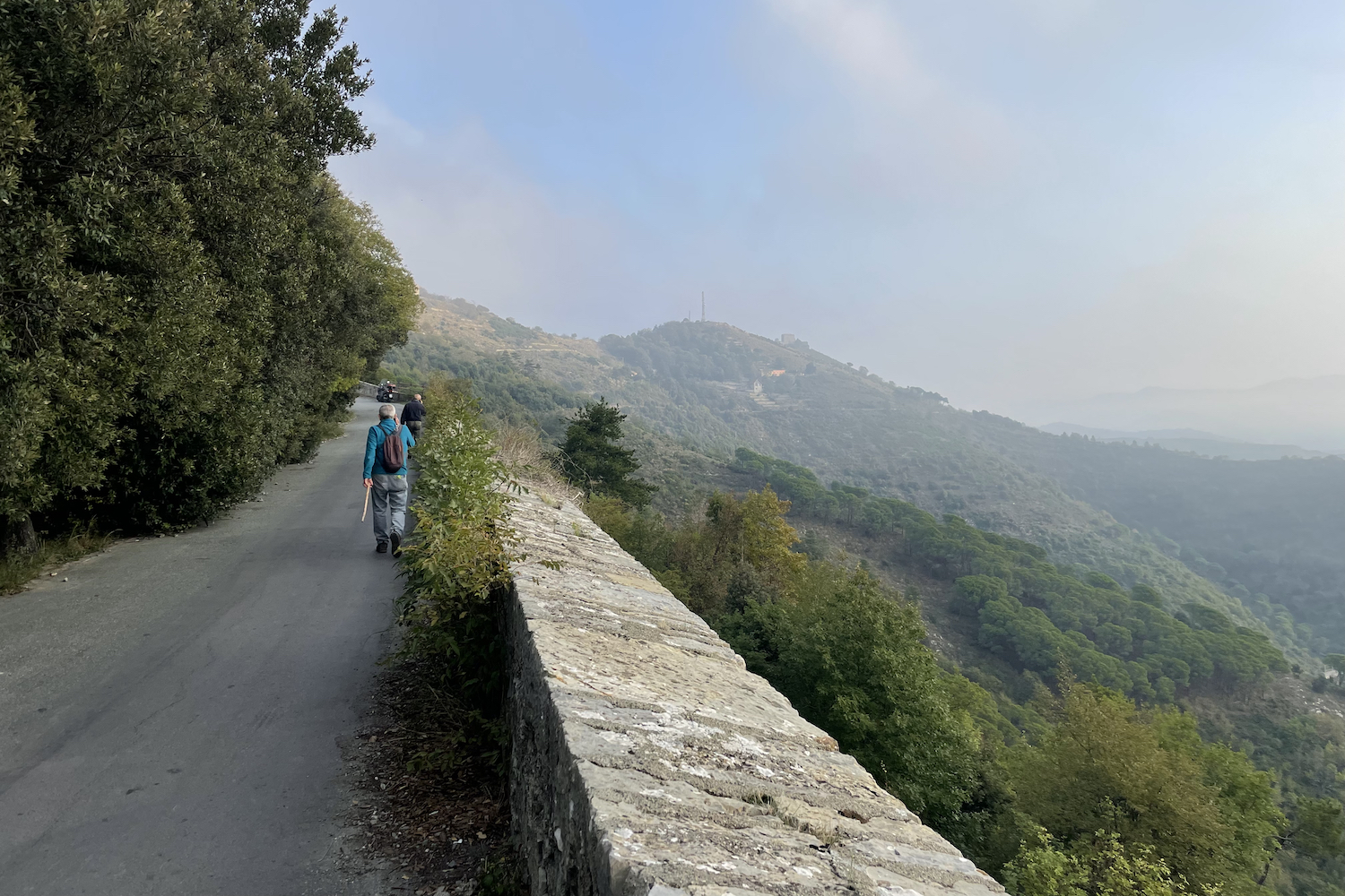
The most used starting point for this panoramic tour is the large Righi car park, located in "Peralto" road.
From the car park, walk on the small, asphalted stretch of via delle Baracche until, at a crossroads, you take the path on the left which runs alongside the old and massive walls of forte Sperone and leads to an open space with antennas where a beautiful glimpse of the sea.
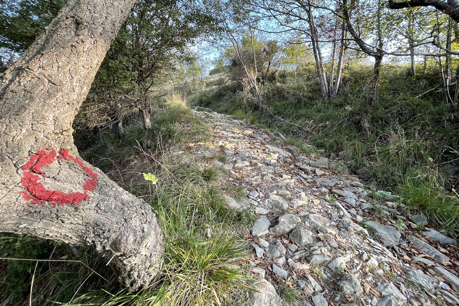
From this point we recommend staying on the path that bends slightly to the left and reaches the Fratello Minore fort, located on Mount Spino, clearly visible as soon as you come out of a small bush.
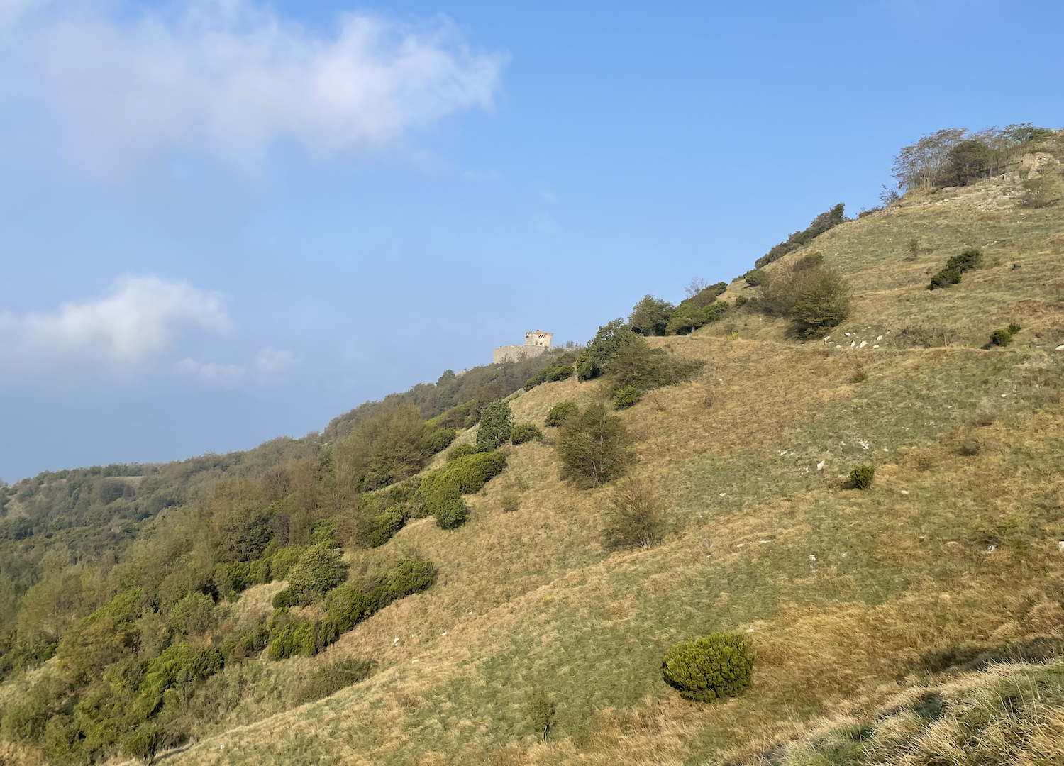
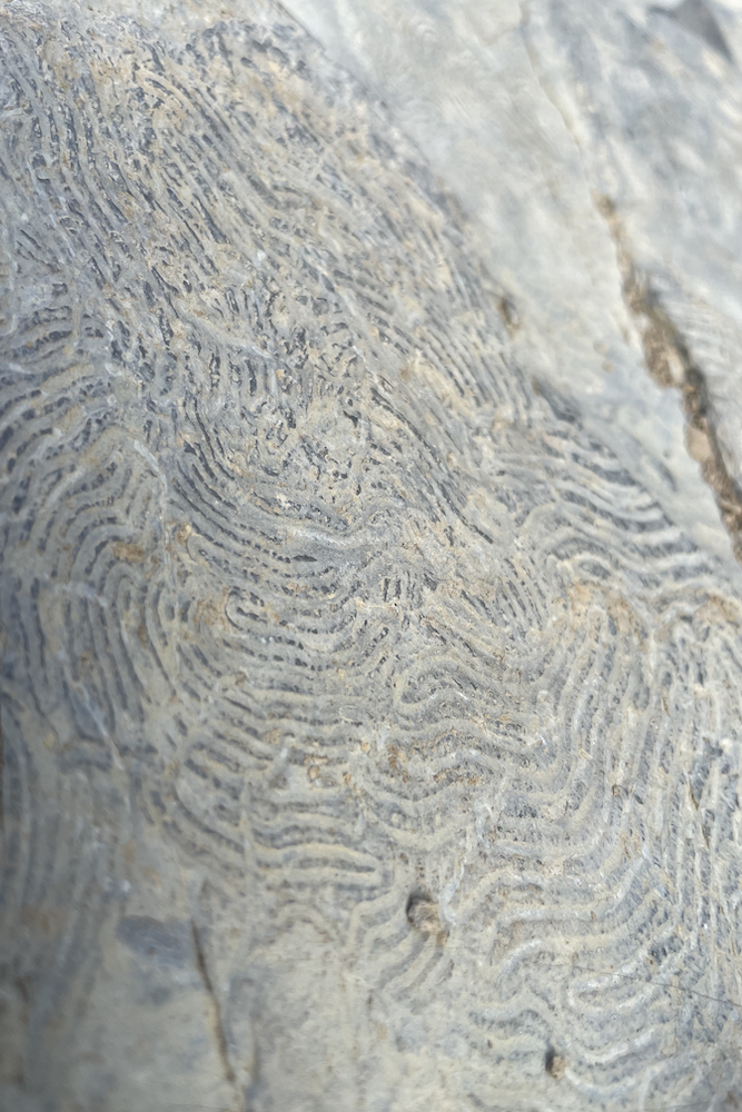
From the fort you almost turn around to take a small path on which you come across a ruin before reaching the summit of Mount Sellato, where the fort Fratello Maggiore once stood, demolished to make way for flak during the fascist period.
In this stop you will notice the Diamante fort, the northernmost and most panoramic of all: to reach it, it is necessary to take the steep path that descends to a small saddle, and finally from there it will be necessary to go back on the mule track which reaches the Diamante with narrow bends.
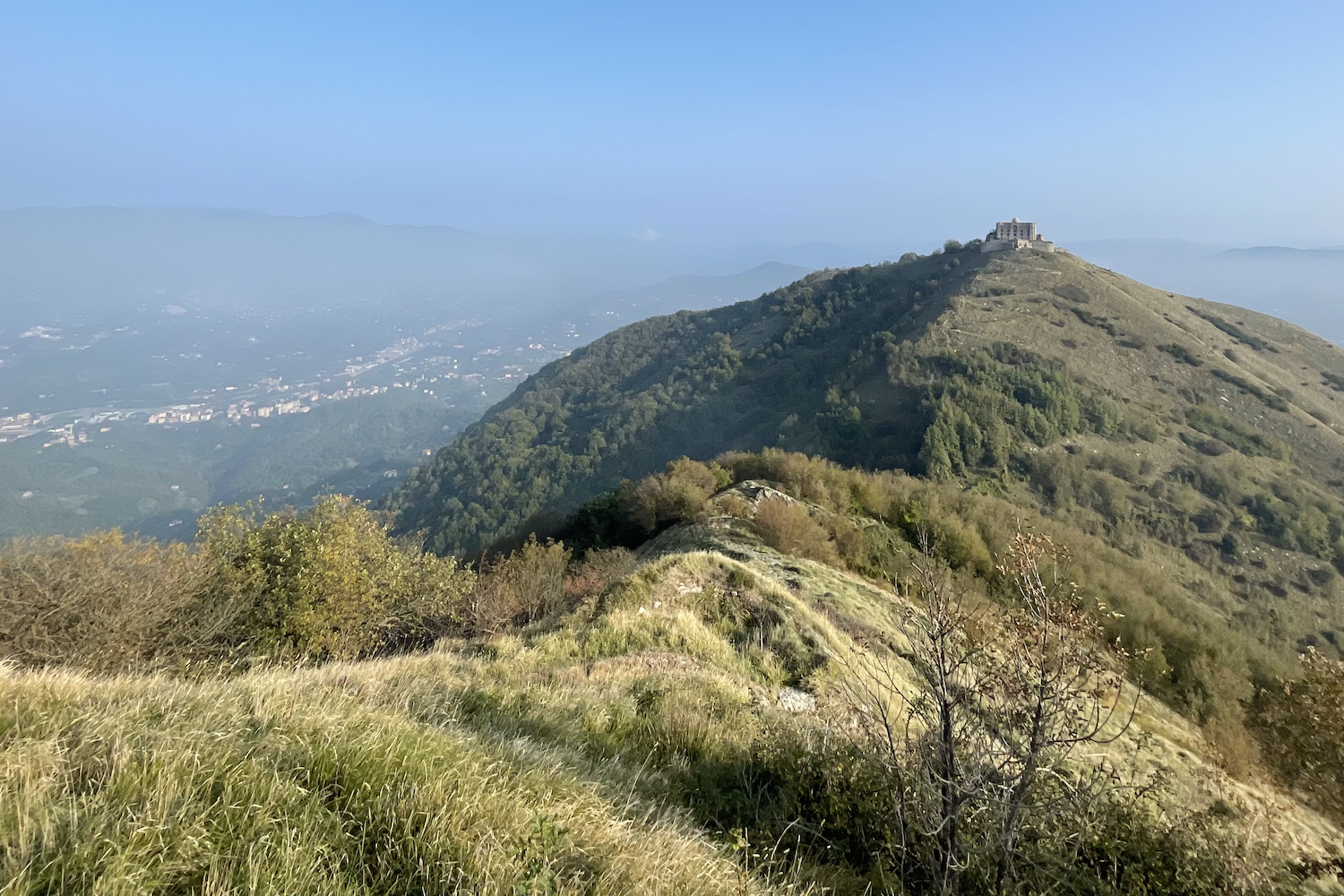
The imposing defensive fort was built in the second half of the 1700s and was subject to siege during the Napoleonic period, but lost its strategic importance and was completely abandoned after the reunification of Italy.
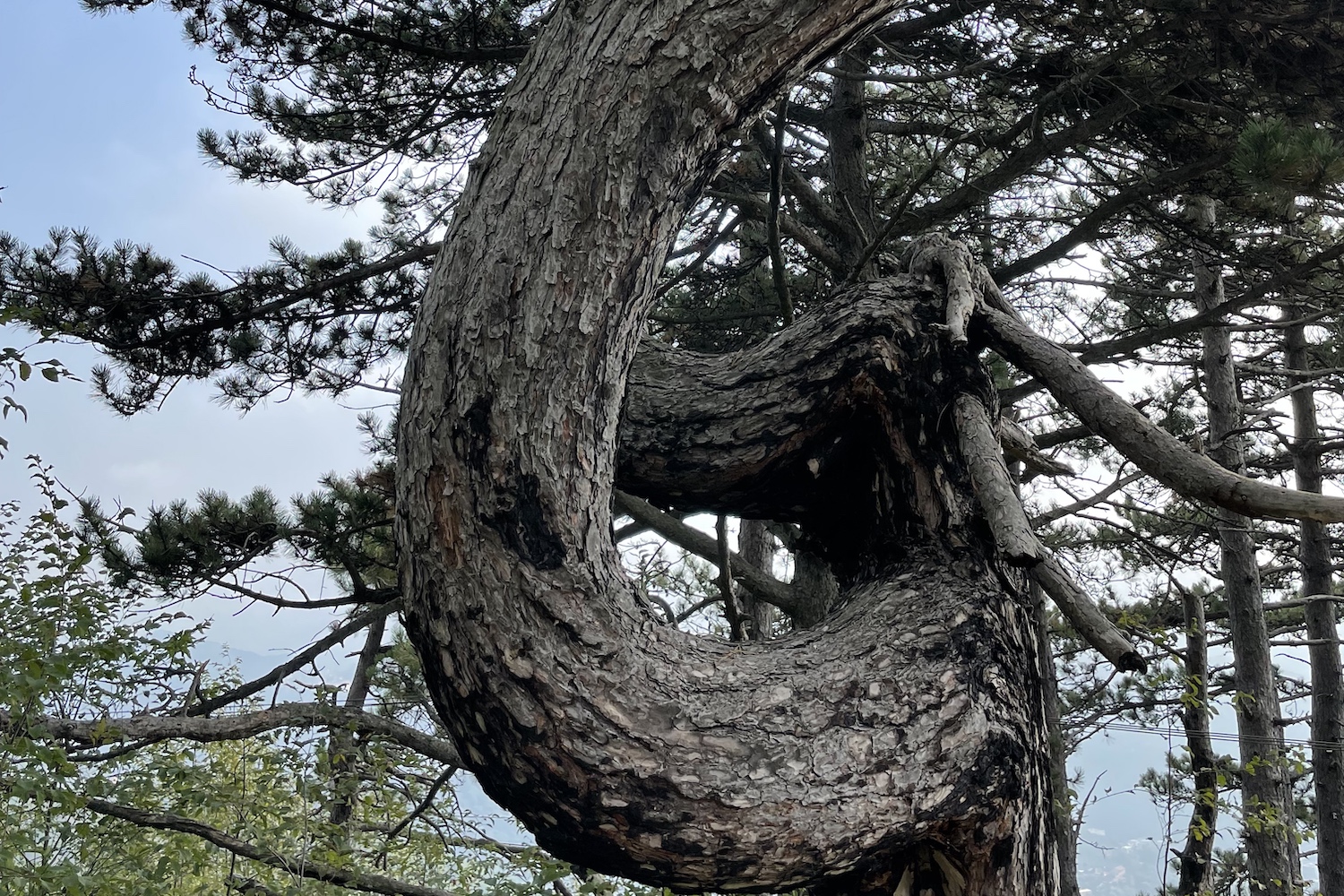
To close the ring, once you have returned to the base of Colle del Diamante, you need to follow the path to the south on which you have a broad view of the Bisagno valley: at a certain point you will find yourself walking along the opposite side of the ridge made on the outward journey into the bush which will finally take you to fort Puin, of the same age as the younger brother, used as a meeting point for guided tours.
Insights:
Surely you have noticed a railway that climbs between the Genoese hill ridges and heads towards the Apennine hinterland: it is the historic narrow-gauge railway of the Casella train, the Italian "Bernina train" with a view of the sea, of which we refer to the official website.
Trekking Map
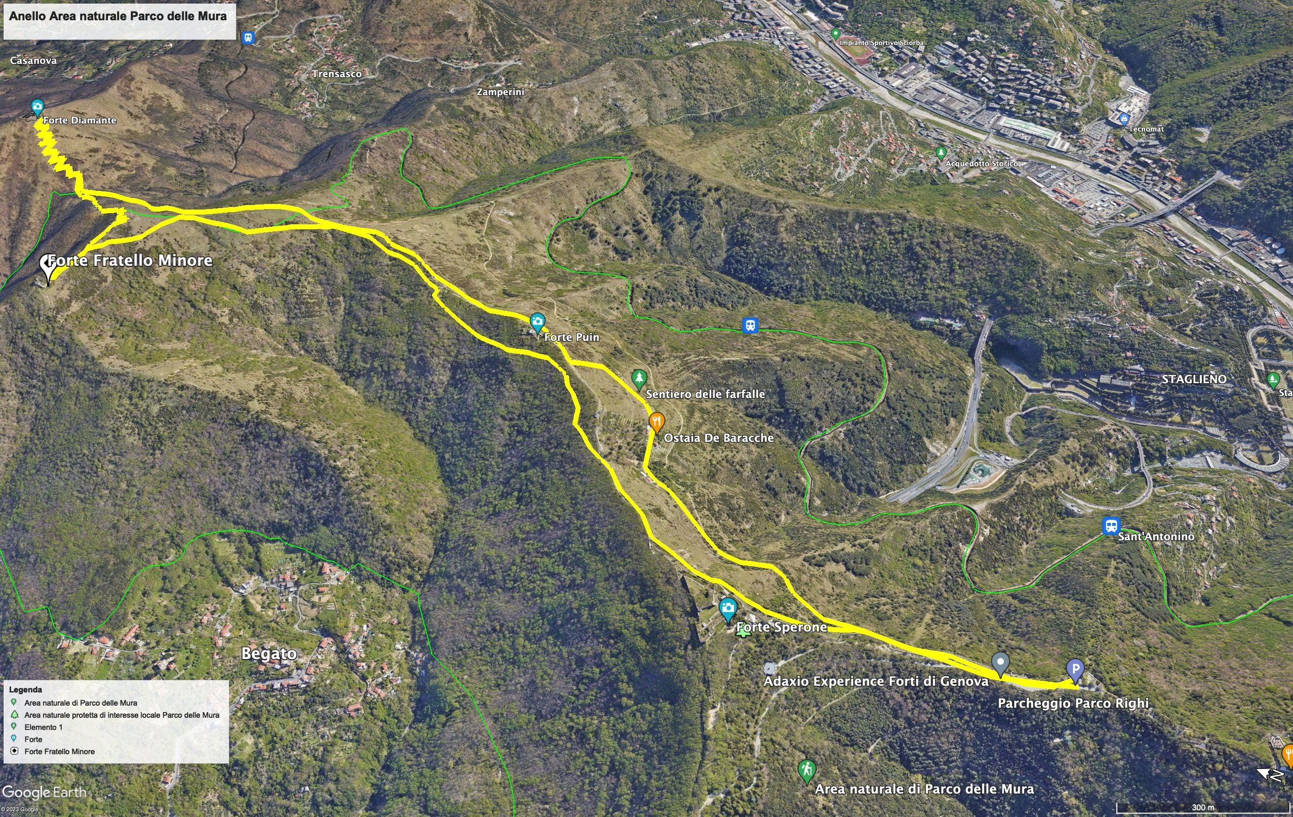
That's all! If you like this text or have any question, leave a comment below.


Comments powered by CComment