Path lenght:
Campliccioli dam
Lake Camposecco
21 Km
1200 mt
Expert for lenght
Yes
September
We will take you
between waterfalls and
panoramas capable
to take your breath away.
CINGINO, THE NORMAL ROUTE OF THE IBEX
Path lenght: 21 km.
Cingino, the normal route of the ibex
We share the coordinates:
46.047249, 8.079814
(Copy and paste in Google Maps search label)
Useful info:
It is possible to break the hike into two days by stopping at the Cingino bivouac.
The hike is not difficult but it is very long, so in addition to good legs, we suggest starting it early in the morning.
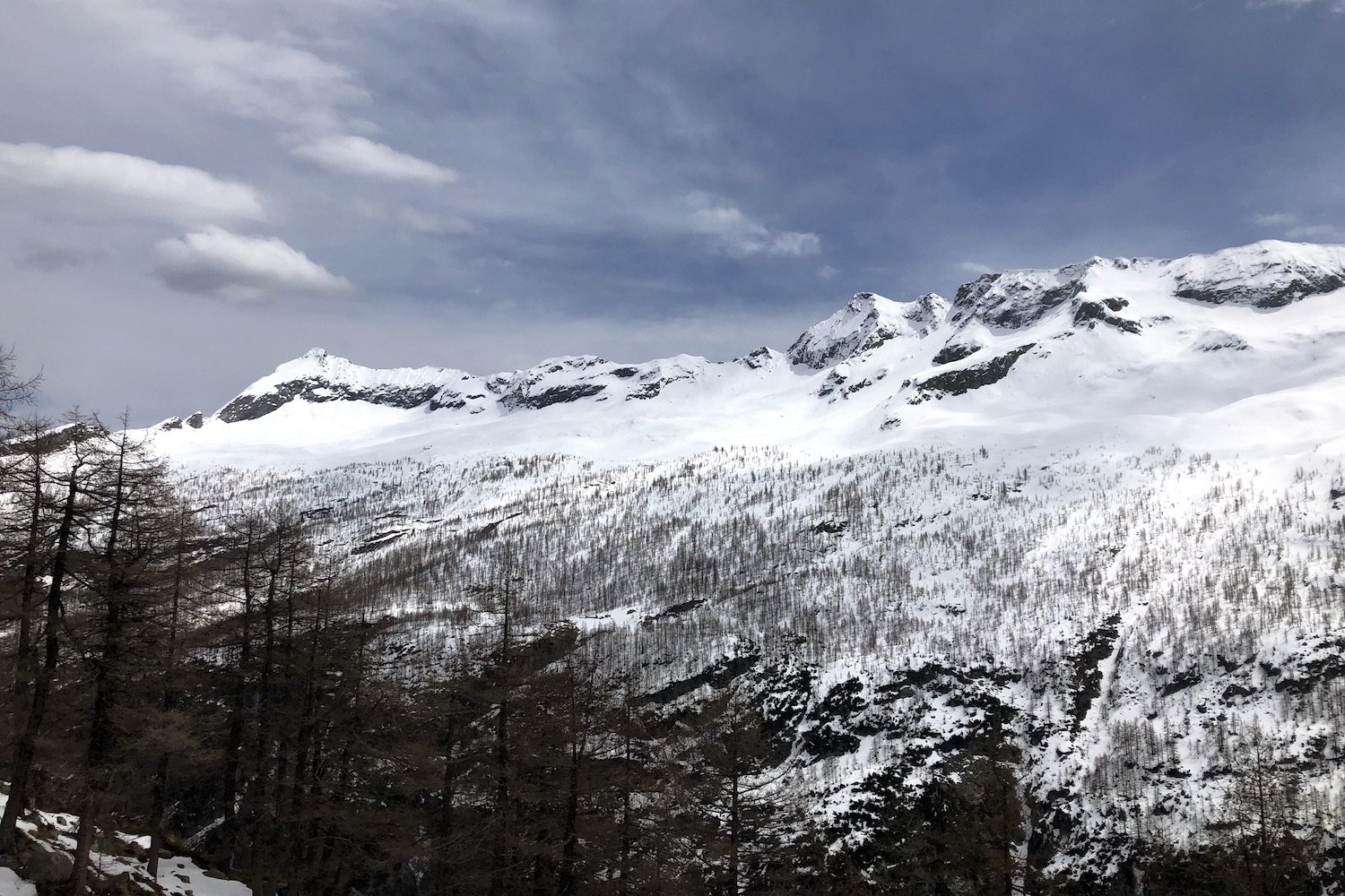
The adjectives that best describe this demanding trip that will occupy you all day are: amazing, exciting, grandiose.
In this wild area of the upper Antrona valley, touched by man only for the construction of 3 artificial basins, you will find a landscape of such rare beauty that you will fall madly in love with it.
In this article we will take you among waterfalls and breathtaking alpine views, where ibex practice free climbing.
The starting point is the car park on the road near the Campliccioli dam, built in the late 1920s.
You could also start from Lake Antrona, a natural lake formed after a large landslide in the seventeenth century that blocked the Troncone stream, but it would be necessary to add another 2 hours and a difference in height of 250 meters to the already long trip.
The walk around this small lake is very suggestive, because at one point it is possible to pass behind the Sajont waterfall, and we recommend taking it on another day to enjoy the landscape and relax.
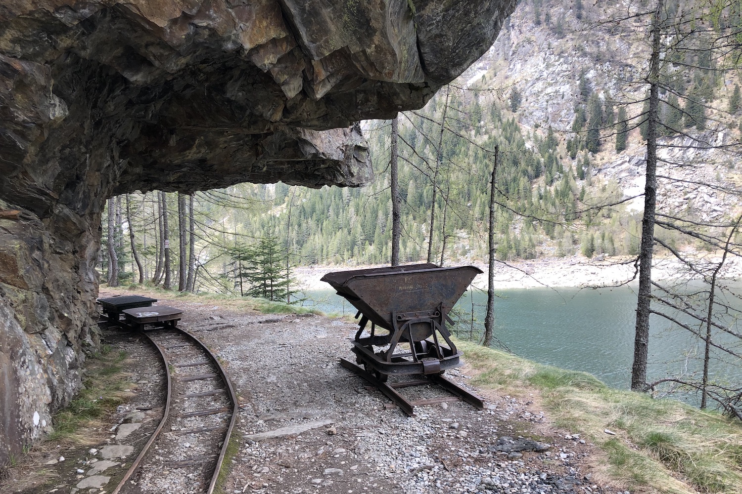
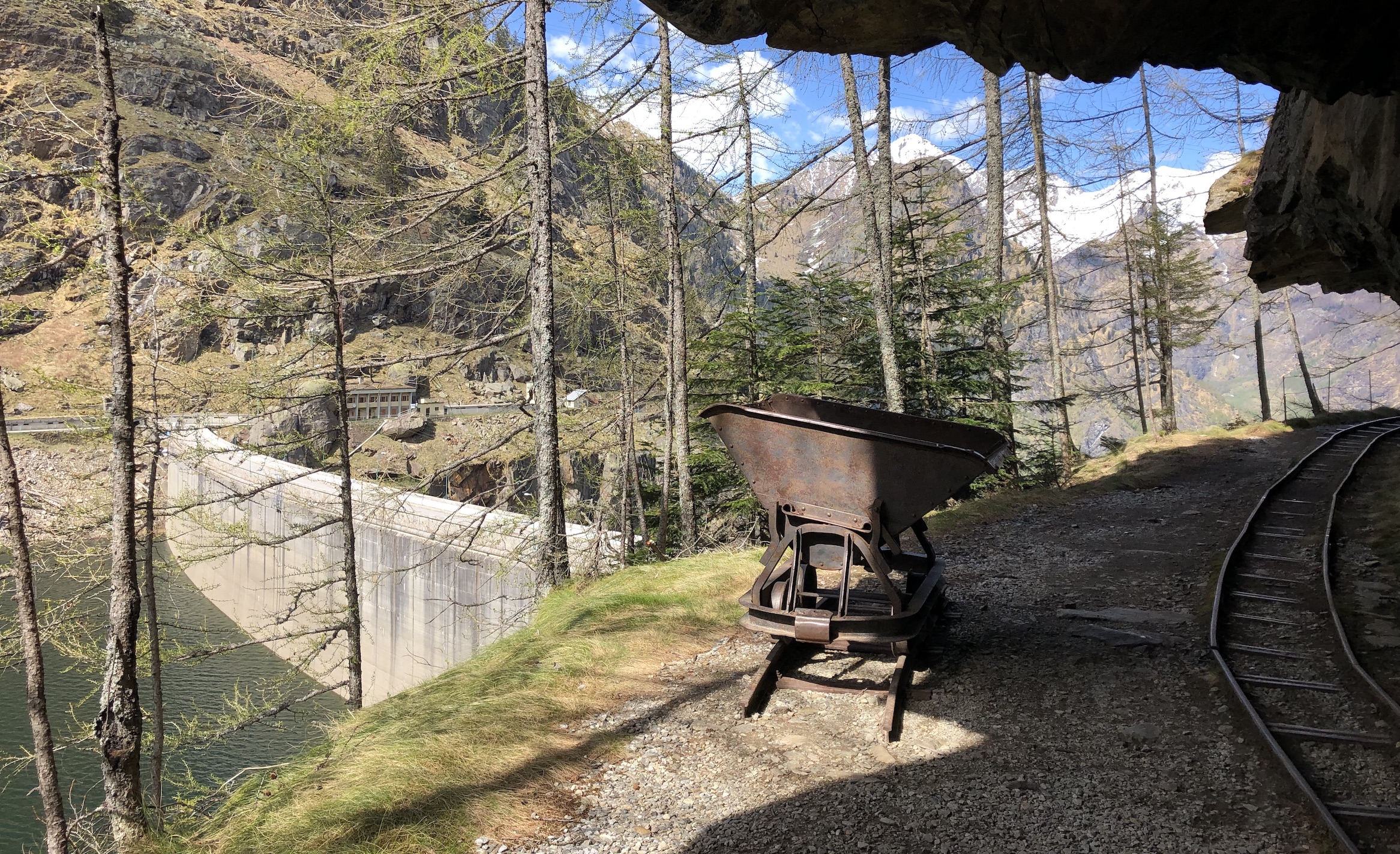
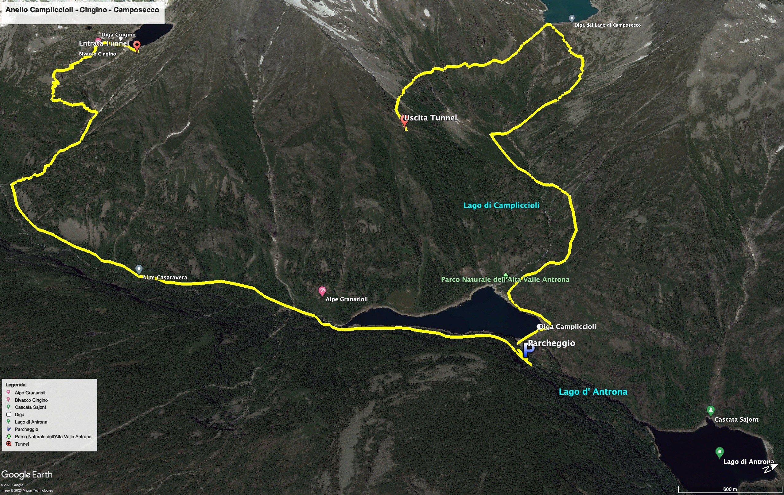
At the Campliccioli dam we took the path that runs along the left of the artificial basin, continuing past two small tunnels dug into the rock, and we followed the path where there were old tracks, until we reached the point where the stream enters the lake.
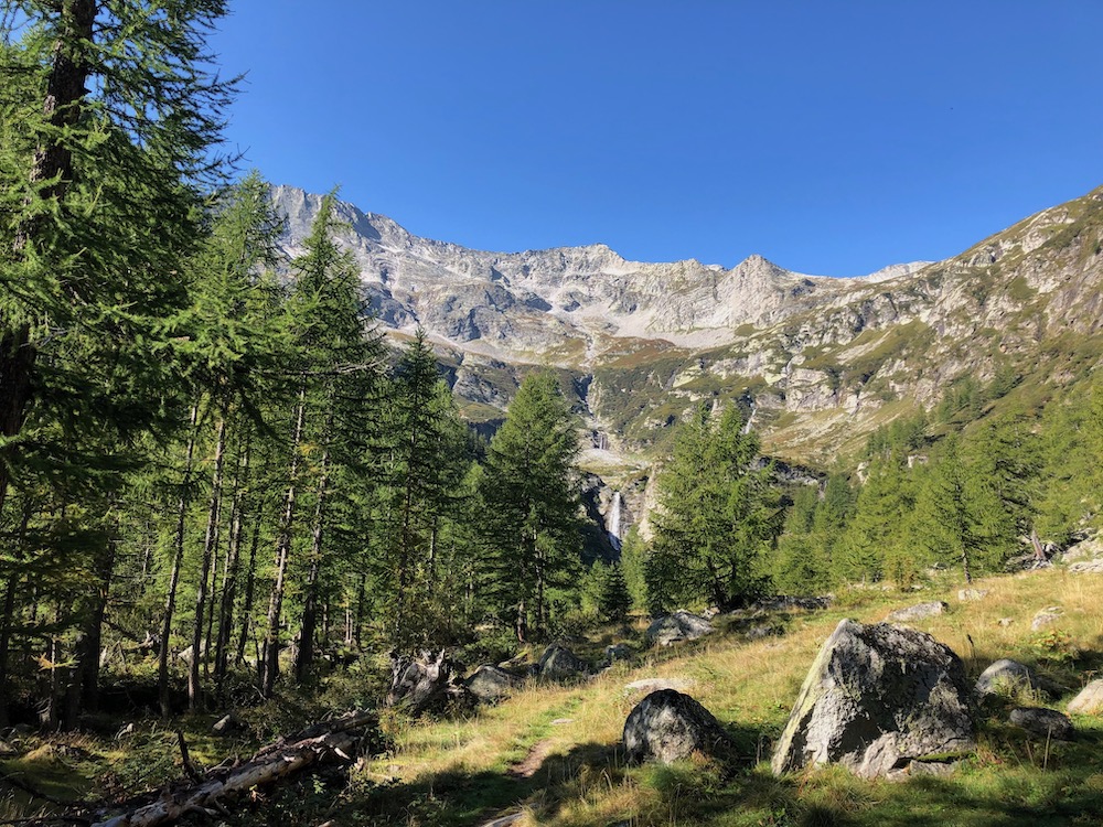
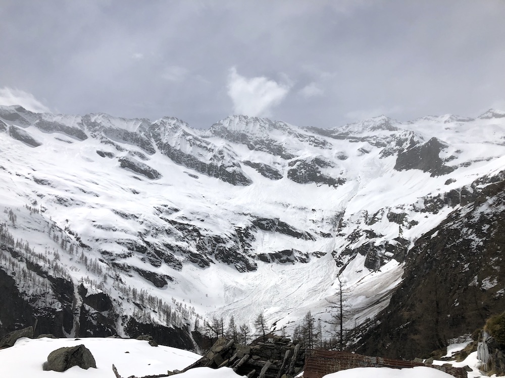
In front of our eyes there was a narrow valley covered by a forest of fir trees, surrounded by vertiginous cliffs that propagated the call of marmots, and below ran the Troncone stream, where we saw chamois drinking.
At a certain point on the path, after leaving the Alpe Casaravera clearing, we went up to the right along a steep path in the shadow of monumental larches, and reached stony ground.
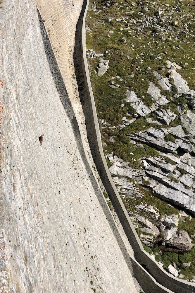
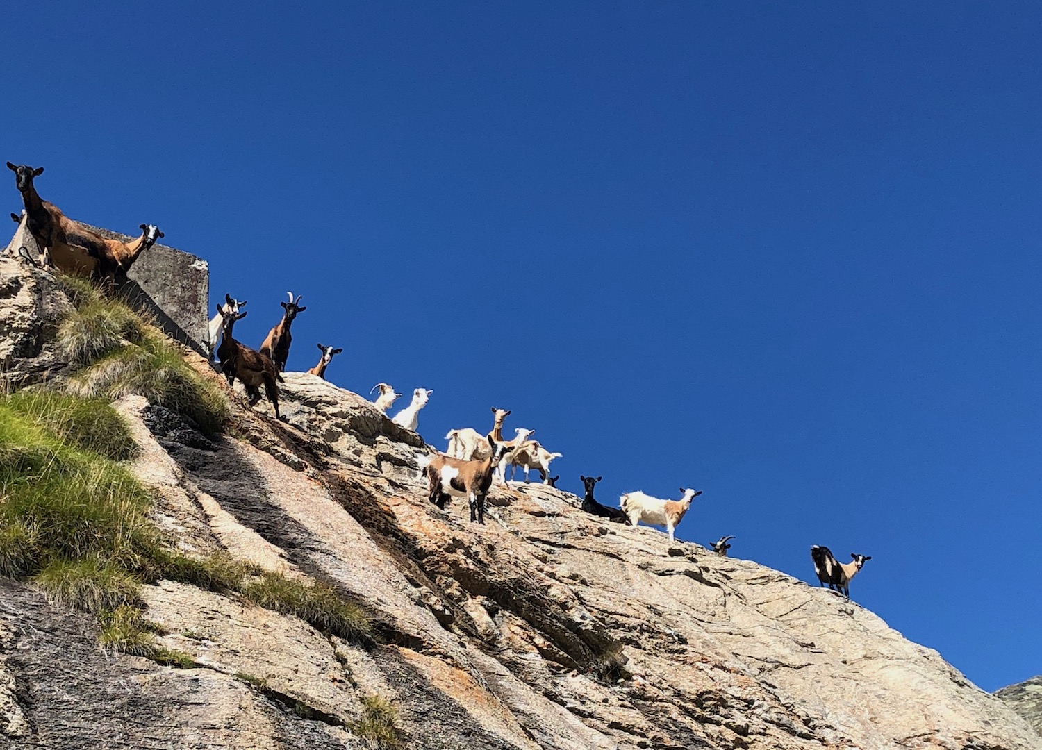
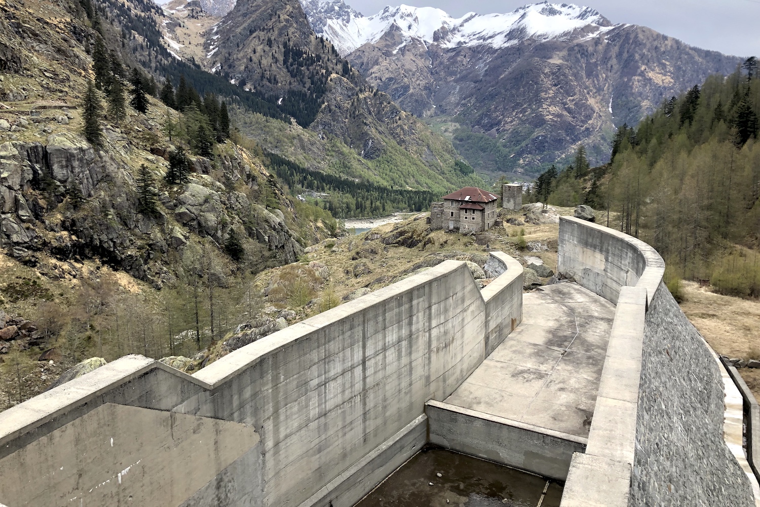
After a few hairpin bends you reach the Cingino dam, where you can see something very special: the ibex climb the dam in search of rock salt to lick!
The surprises were not over yet, because once you cross the dam, to reach Lake Camposecco you have to continue for about half an hour in the Enel tunnel dug into the mountain where the penstock runs.
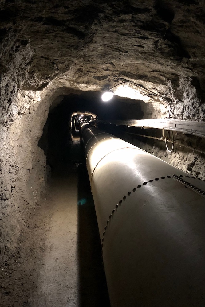
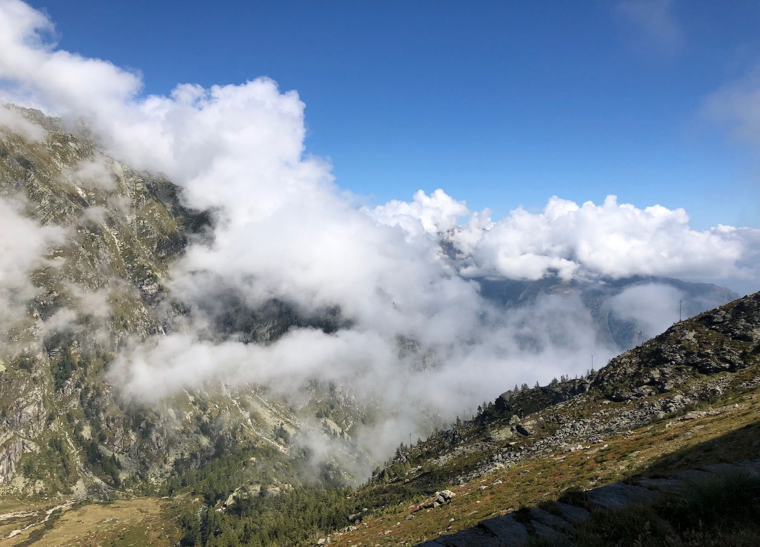
Once back outdoors, a grandiose alpine scenario opened. We were above the clouds, and nature had reached perfection below us.
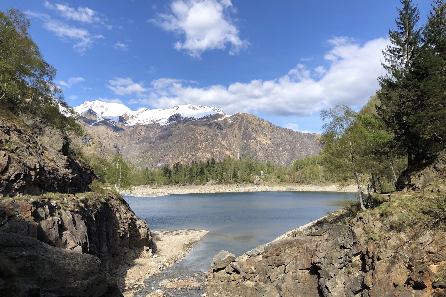
All that remained was to make a last effort and reach the lake of Camposecco, framed by still partially snow-capped peaks.
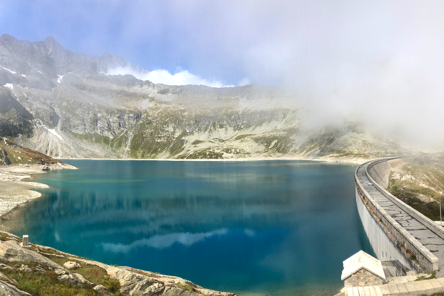
To close the ring, we left the guardians' house behind (they have to lead a hectic life ...) starting the descent that would first lead us to clearings full of blueberries and raspberries, and finally to the right of Lake Campliccioli, where we waited for the car.
Memorable!
Trekking Map
That's all! If you like this text or have any question, leave a comment below.


Comments powered by CComment