Path lenght:
Assunta Church, SP167
Badana Dam
6,5 Km
50 mt
Easy
Yes
December
Discovering of
the dam less
know of Capanne
di Marcarolo
Natural park.
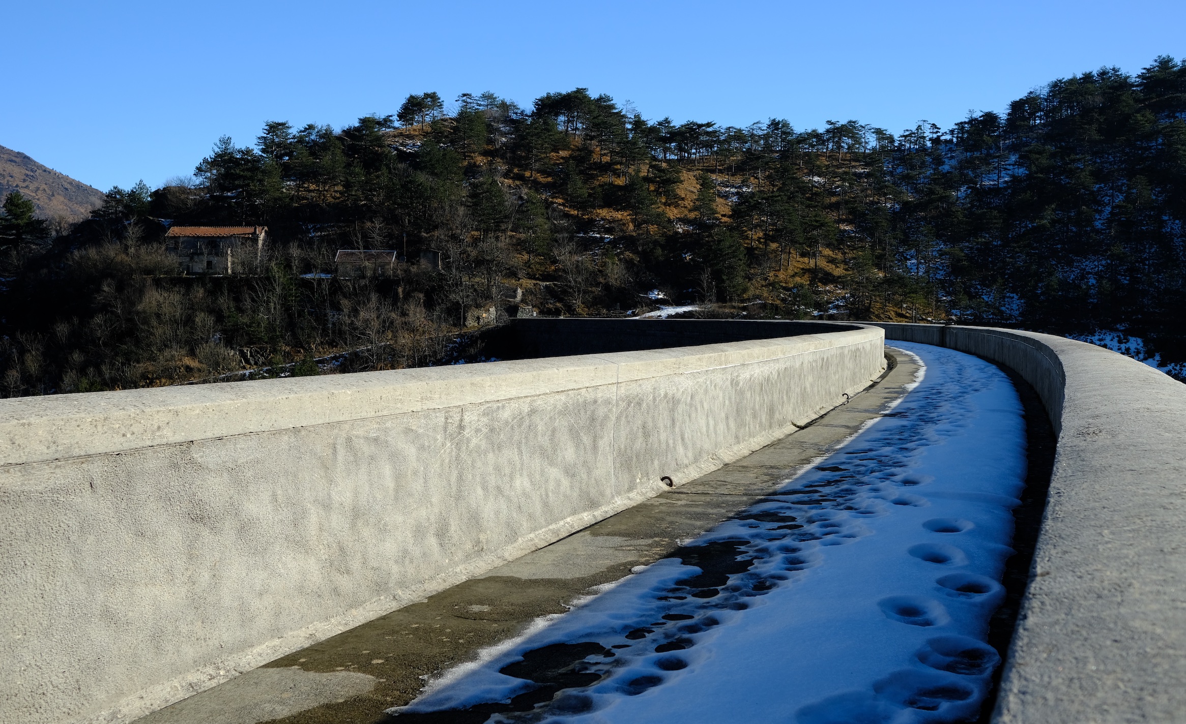
THE BADANA DAM
Path lenght: 6.5 km.
The Badana dam
We share the coordinates:
44.542615, 8.778166
(Copy and paste in Google Maps search label)
In this article we propose a simple walk to do in winter, when the path is partially covered by fresh snow.
This short ride, which takes a couple of hours at the most, is aimed at everyone, because the difference in altitude is almost non-existent.
After leaving the car near the "cappella dell'assunzione", we took the road that leads to a small, inhabited area consisting of some agricultural farms, located in a valley at the foot of the "Costa Lavezzara", a long horizontal ridge with a grassy top that you will see on the left. Near the farms there is also a stable that organizes horse rides in the area of the Capanne di Marcarolo Natural Park.
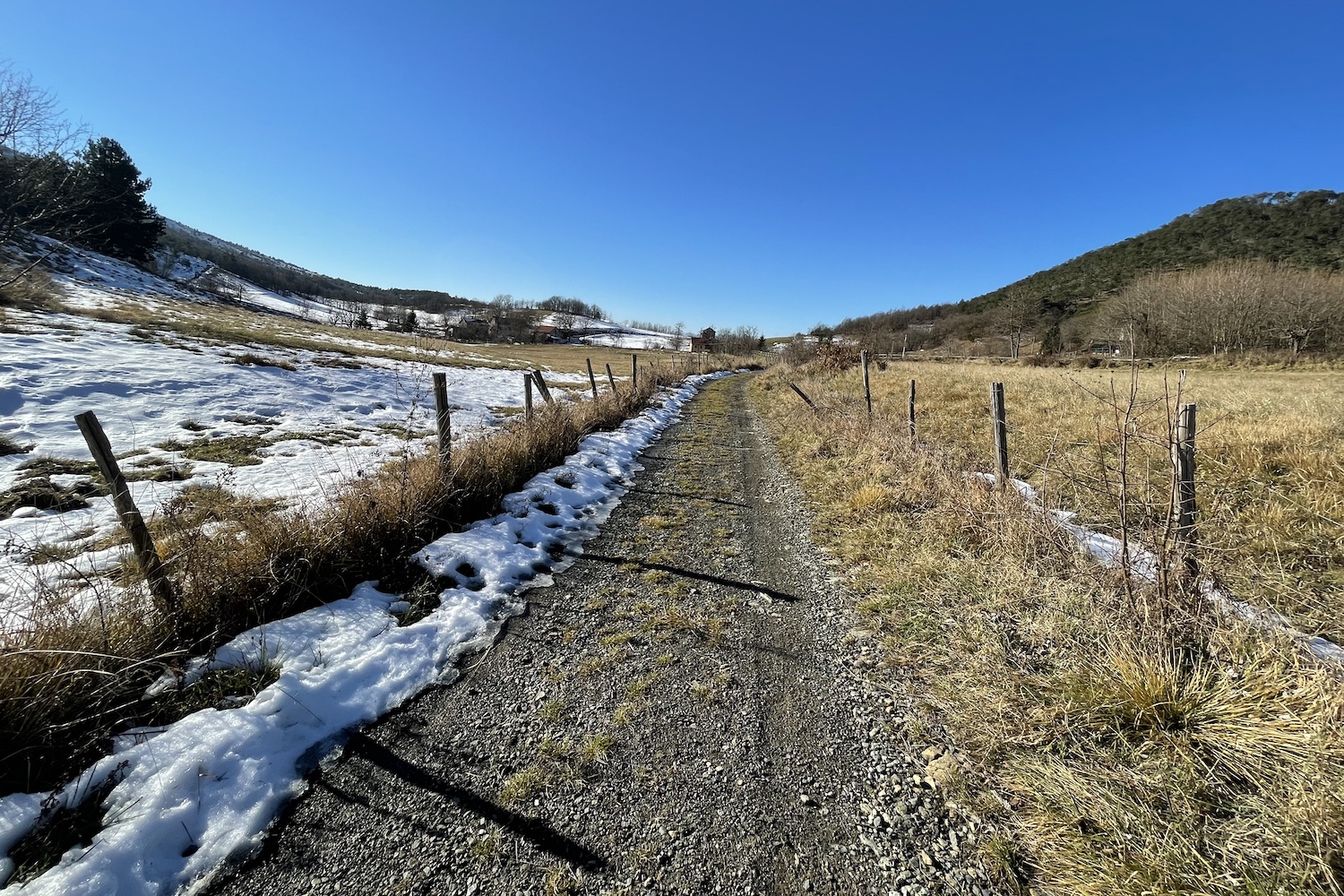
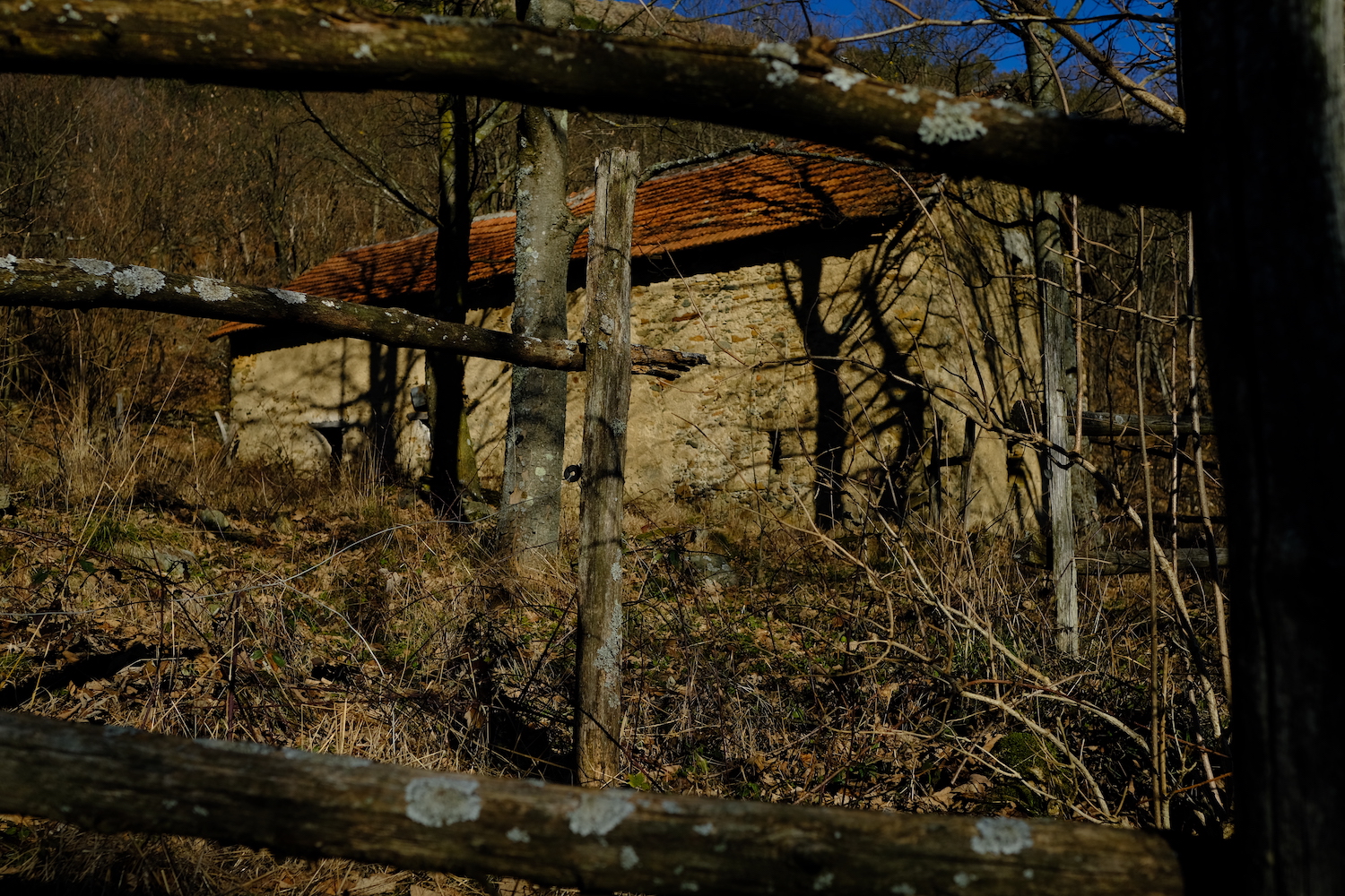
We passed further entering the woods, where in a short time we reached Menta farmhouses, once a refuge used by the partisans, which were partially burned during the Nazi-Fascist roundup of 1944.
Cascine Menta is also the place where the vineyard with two records is located: the highest in all southern Piedmont and the closest to the sea in the whole region.
The path continues and after a few hundred meters begins to descend towards the dam of Lake Badana, the third lake in the park of the Capanne di Marcarolo, emptied in the early years of the new millennium due to structural problems.
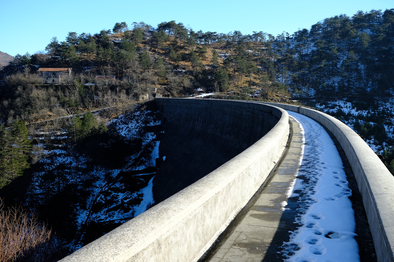
The place is very suggestive, and crossing the dam offers some beautiful glimpses to be immortalized. The whole area of Lake Badana is much less traveled and quieter than the area of the Gorzente lakes.
Theoretically, the works for the safety of the dam resumed in 2022, and in a few years they will allow us to admire the third reservoir from above.
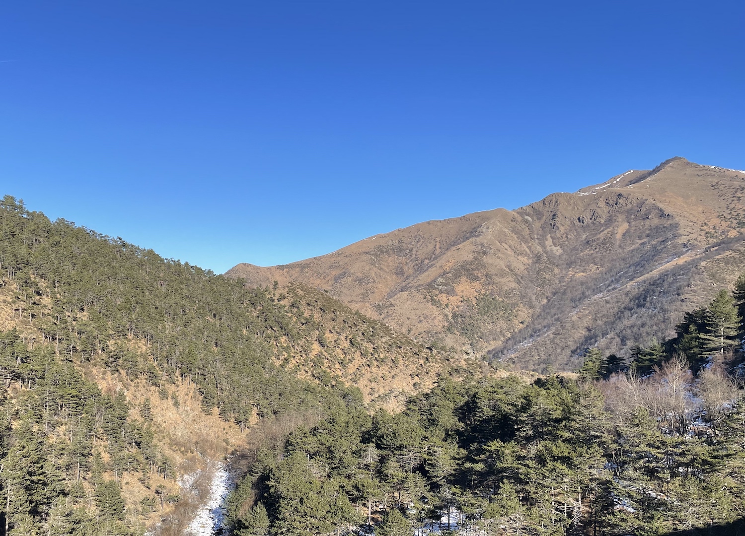
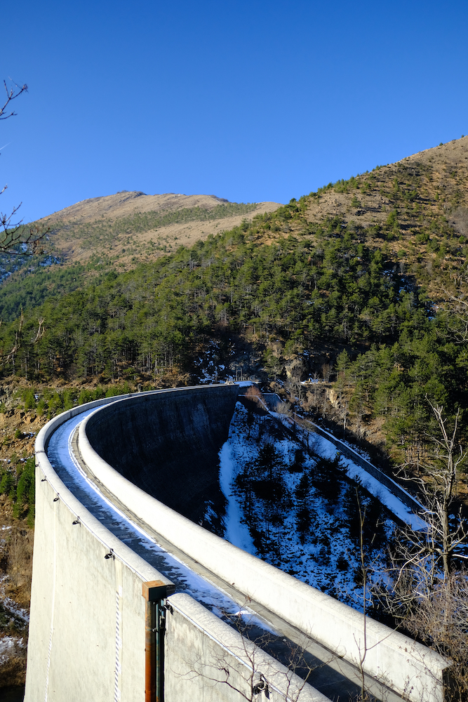
The return path is the same as that of the outward journey, but for those who have more time and want to stretch their legs, we recommend continuing further, descending to the level of the river, crossing a small bridge and returning to the car along the path behind the Costa Lavezzara. which leads to the Capaenne di Marcarolo.
This solution makes the hiking path, making the total length of 12 km become 400 meters in altitude.
Trekking Map
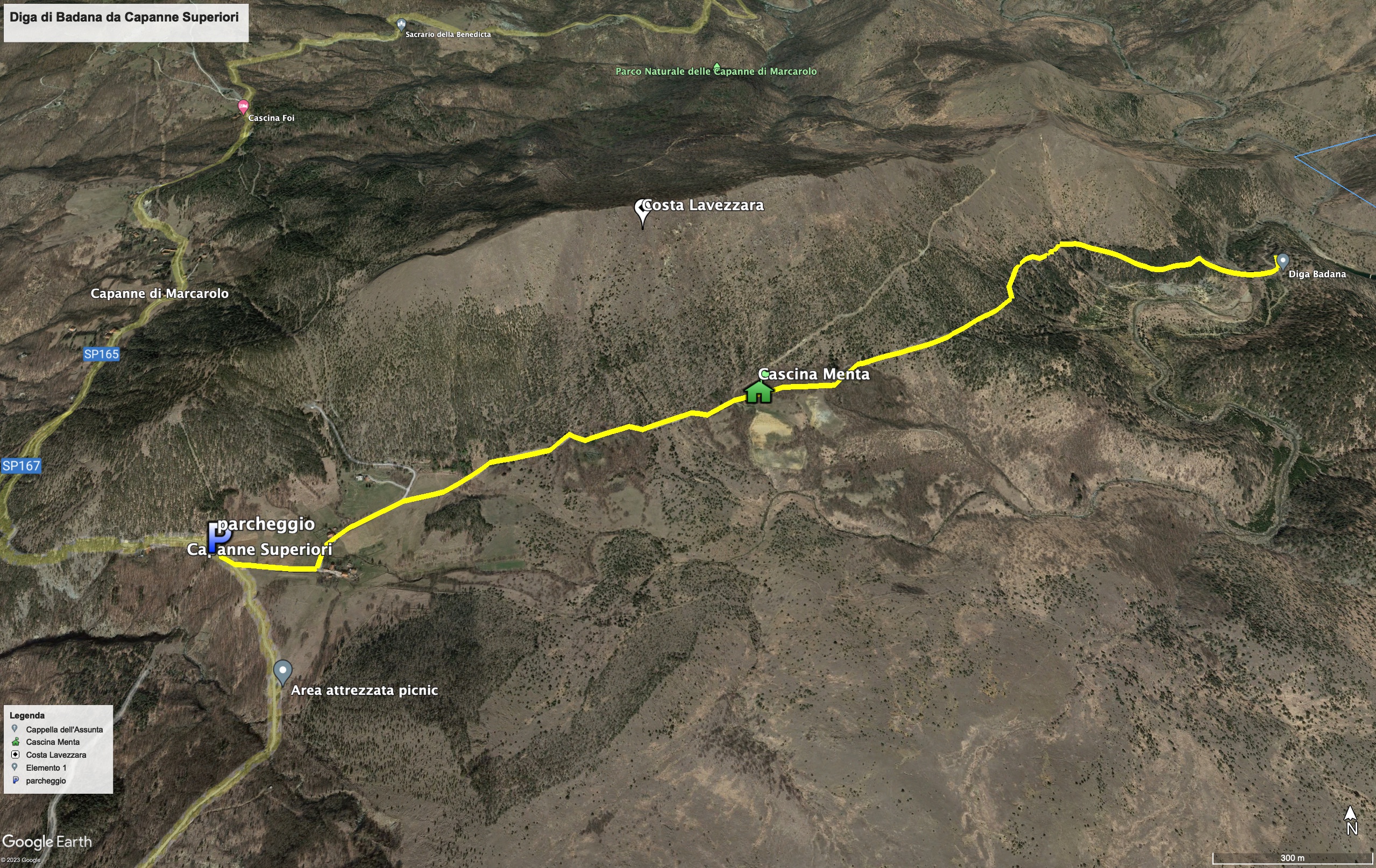
That's all! If you like this text or have any question, leave a comment below.


Comments powered by CComment