Path lenght:
Football field, Rossiglione
Sulfur spring
13 Km
200 mt
Medium
Yes
May
Welcomes
in the wild
Val Gargassa,
the small ligurian
Arizona.
VAL GARGASSA, THE SMALL LIGURIAN ARIZONA
Path lenght: 13 km.
Val Gargasssa, the small Ligurian Arizona
We share the coordinates:
44.560489, 8.648977
(Copy and paste in Google Maps search label)
Since the path runs along the river for most of the route, we strongly advise against doing it after heavy rains and in the central hours of the summer, both due to the hot and the few trees present.
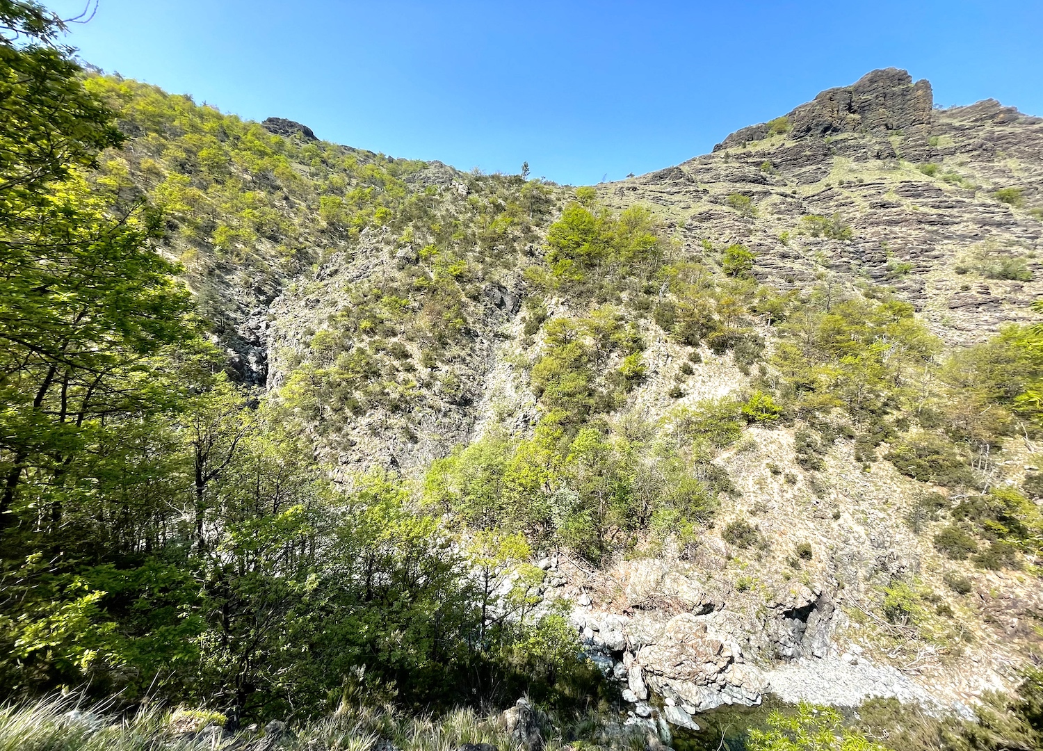
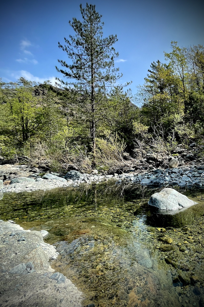
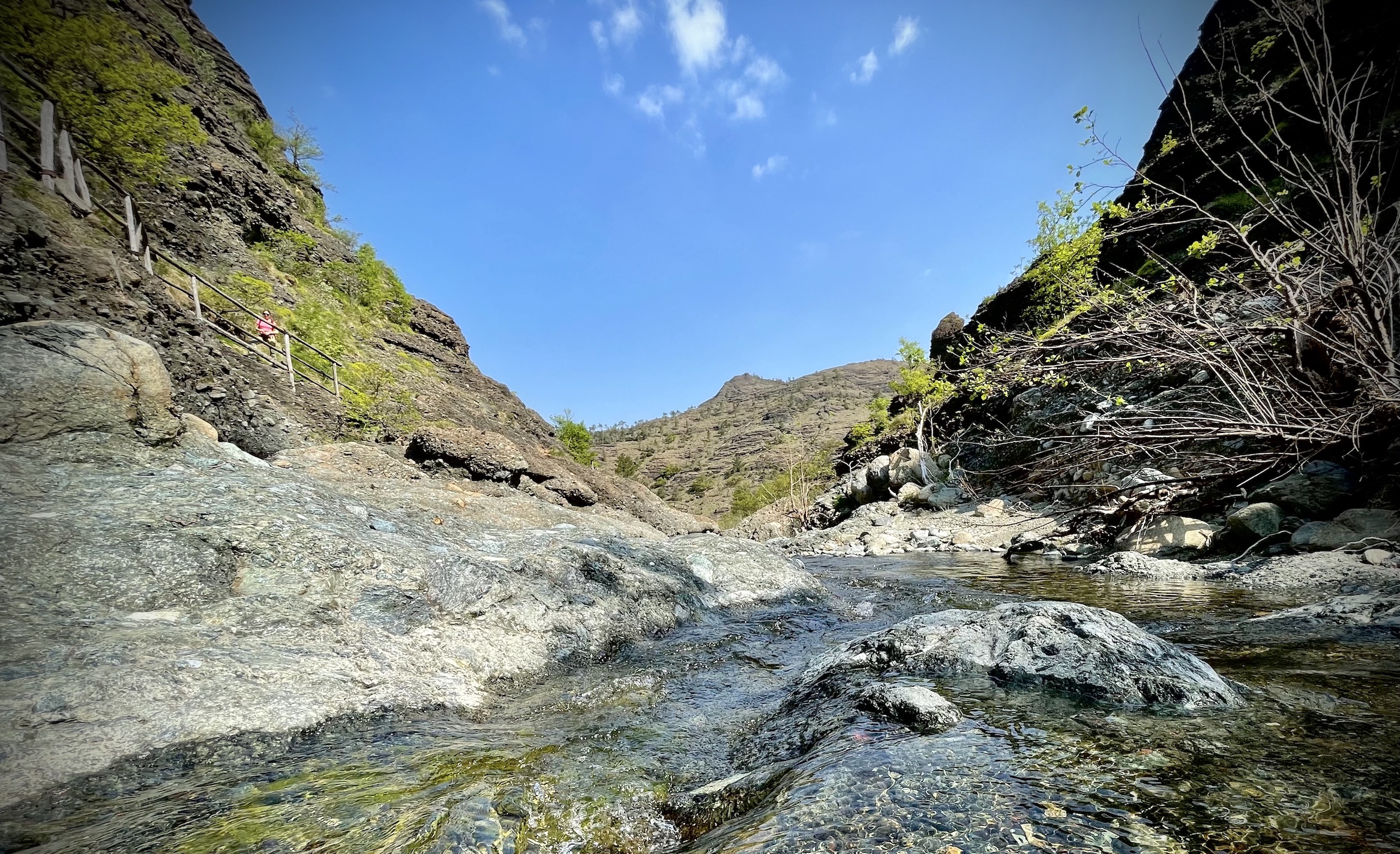
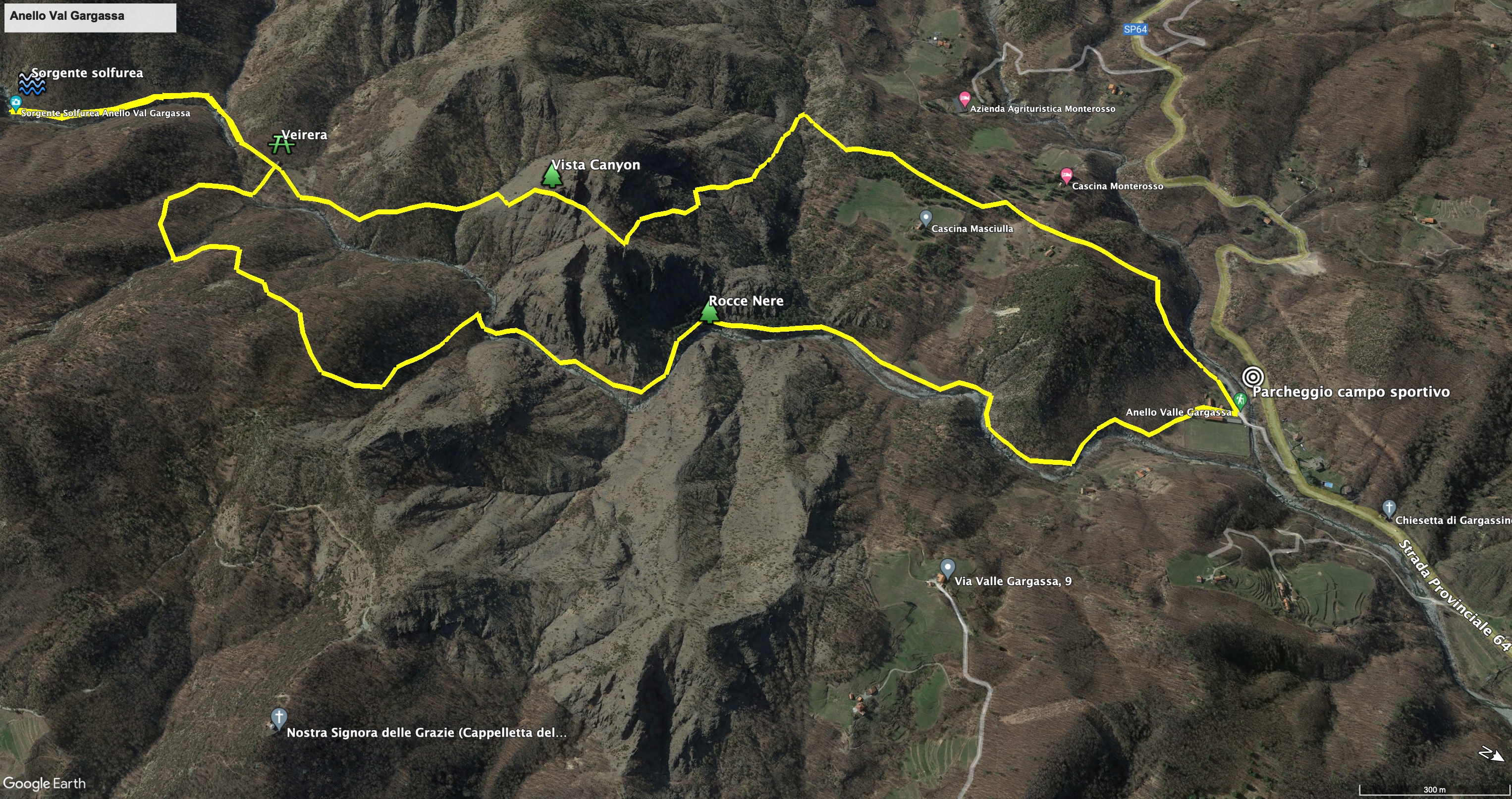
The circular route starts from the Rossiglione sports field, where we left the car. Then we took the path that ran along the river and entered the small Arizona of Liguria, with a very particular landscape, first consisting of ophiolithic rocks and then of black conglomerate (which gives its name to a part of the area, the "black rocks”).
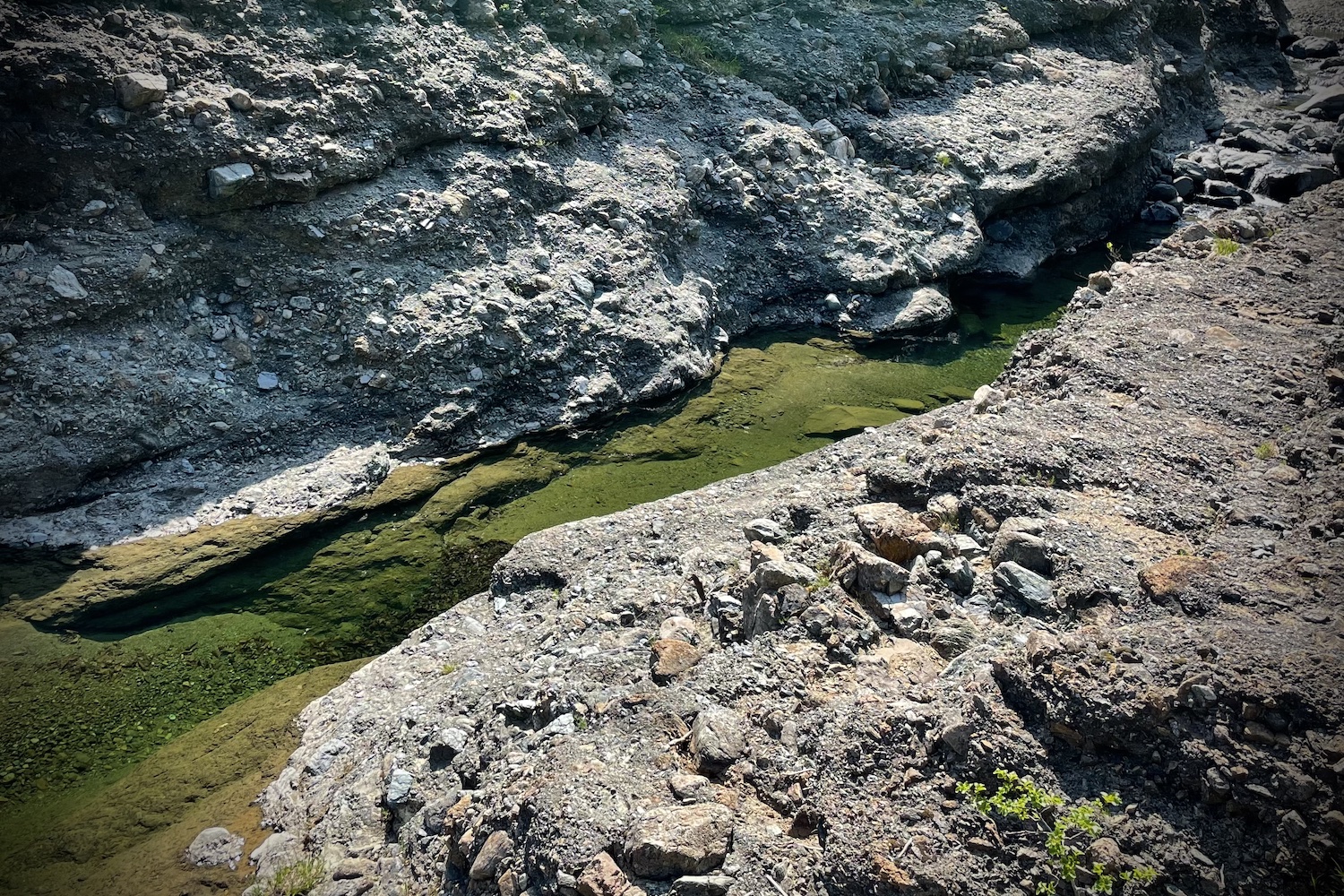
Perhaps many of you do not know that here it is possible to find spectacular gorges and potholes of the giants formed by the incessant erosion by the Rio Gargassa, a stream of clear water that during its journey forms enchanting emerald green lakes where it is you can find refreshment from the heat.
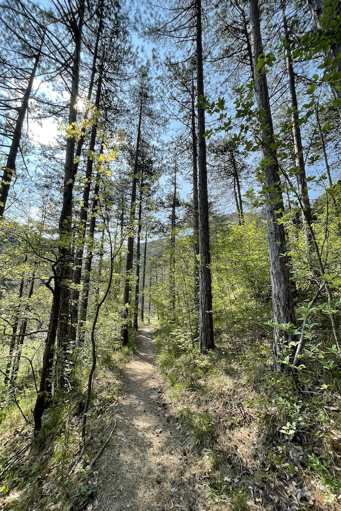
Following the riverbed we arrived at the ford, and once crossed we took a slight altitude along the Gargassa, now on our right.
After about fifteen minutes we arrived in Veirera, a clearing with some fruit trees where glass was once produced.
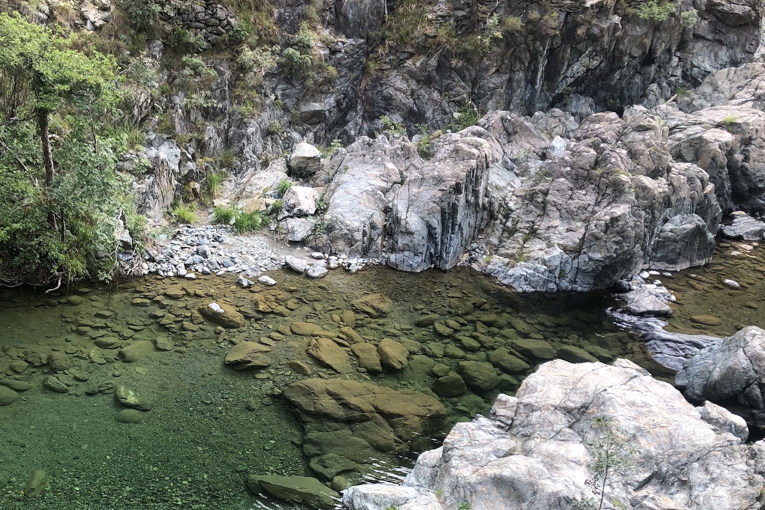
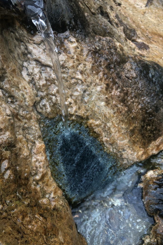
Continuing south for another ten minutes, you reach the small sulfur spring, with the unmistakable color of the concretions around it, while if you continue the ring (sign with 3 yellow stamps) you go up the canyon.
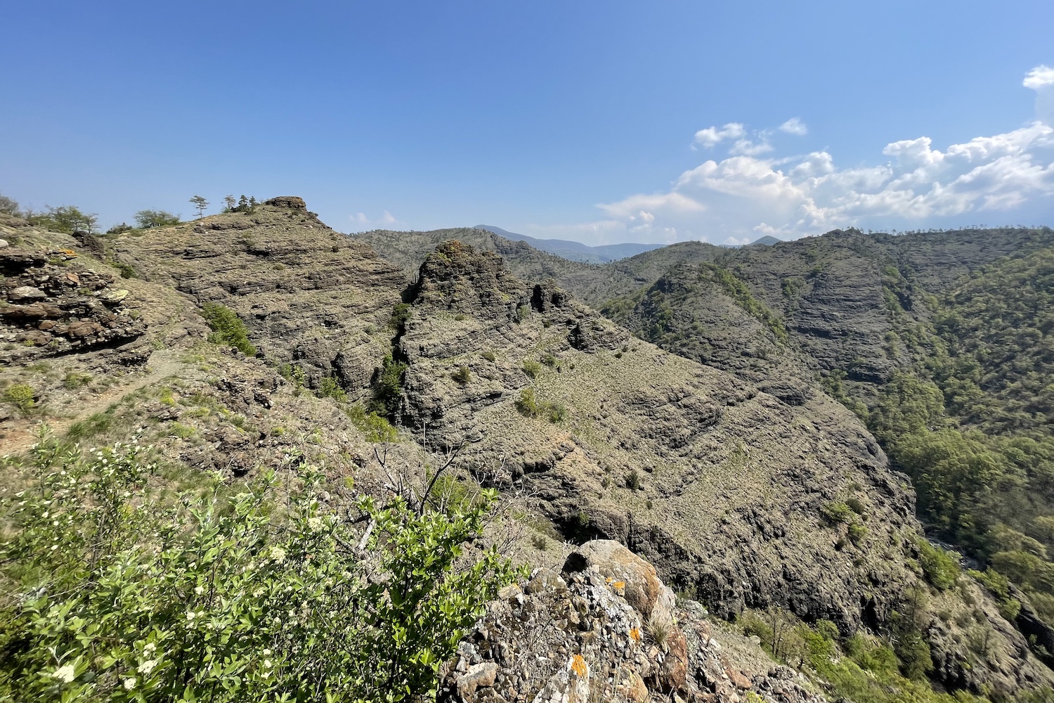
In this last stretch, equipped with chains at the most exposed point, we saw from above some beautiful views formed by the narrow gorges and rocky towers, which with their spires rise to the sky.
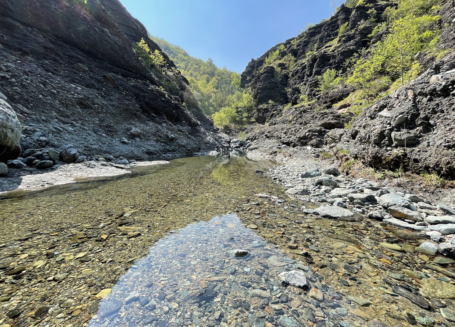
After this last stretch with sparse vegetation consisting mostly of shrubs and heather plants, the path descends continuing towards the Camilla house, and finally returns to the parking lot of the soccer field, crossing the wood downhill.
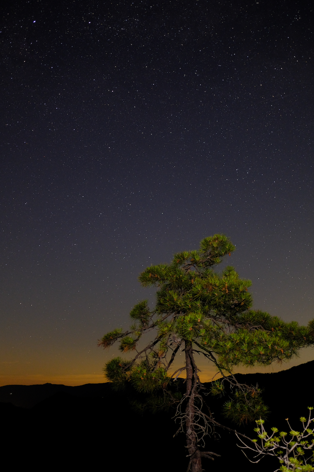
Val Gargassa is in an isolated area of Liguria, where in summer evenings it is still possible to look up and see the starry sky in silence, occasionally interrupted by the loving croak of some toad.
Trekking Map
That's all! If you like this text or have any question, leave a comment below.


Comments powered by CComment