Path lenght:
Cascina Cirimilla, Lerma
Lavagnina lake.
19 Km
800 mt
Medium
Yes
April
In the wild west of lower Piedmont, where contact with nature is as pure as the waters of the streams
THE WILD SOUL OF LOWER PIEDMONT
Path lenght: 19 km.
Trekking date: april
The wild soul of lower Piedmont
We share the coordinates:
44.613776, 8.717500
(Copy and paste in Google Maps search label)
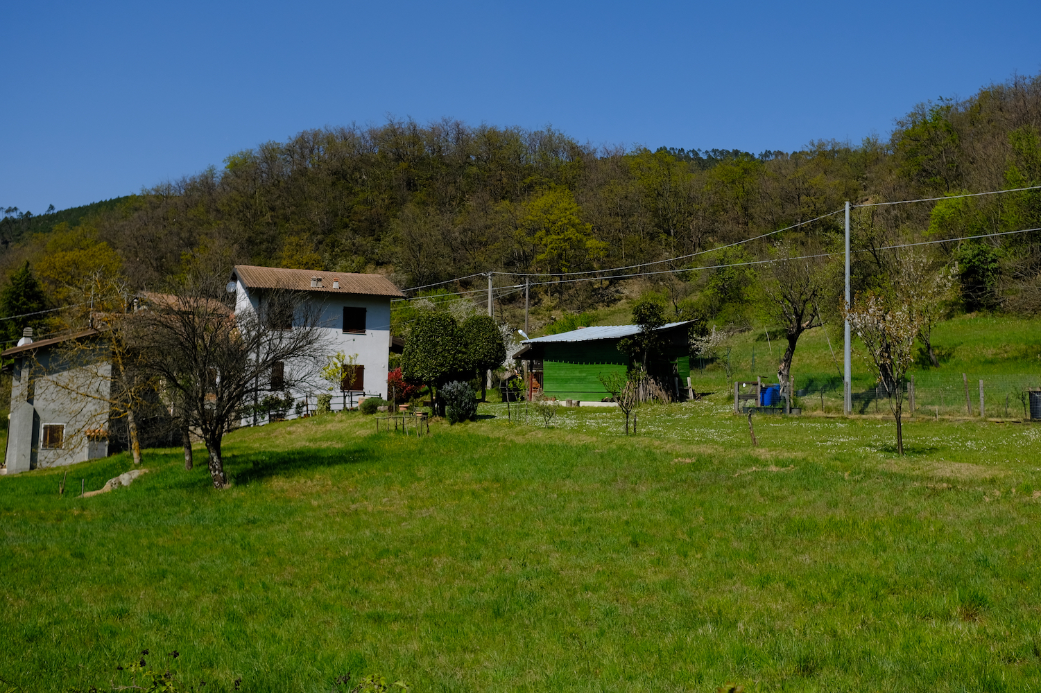
Today we will return to the Wild West of lower Piedmont, where the populations that have chronologically alternated had managed, with hard and incessant work, to snatch some plot of land from the wild nature and convert it to agricultural land or pasture. For centuries those techniques from which one could draw at least the bare necessities for living were handed down from father to son.
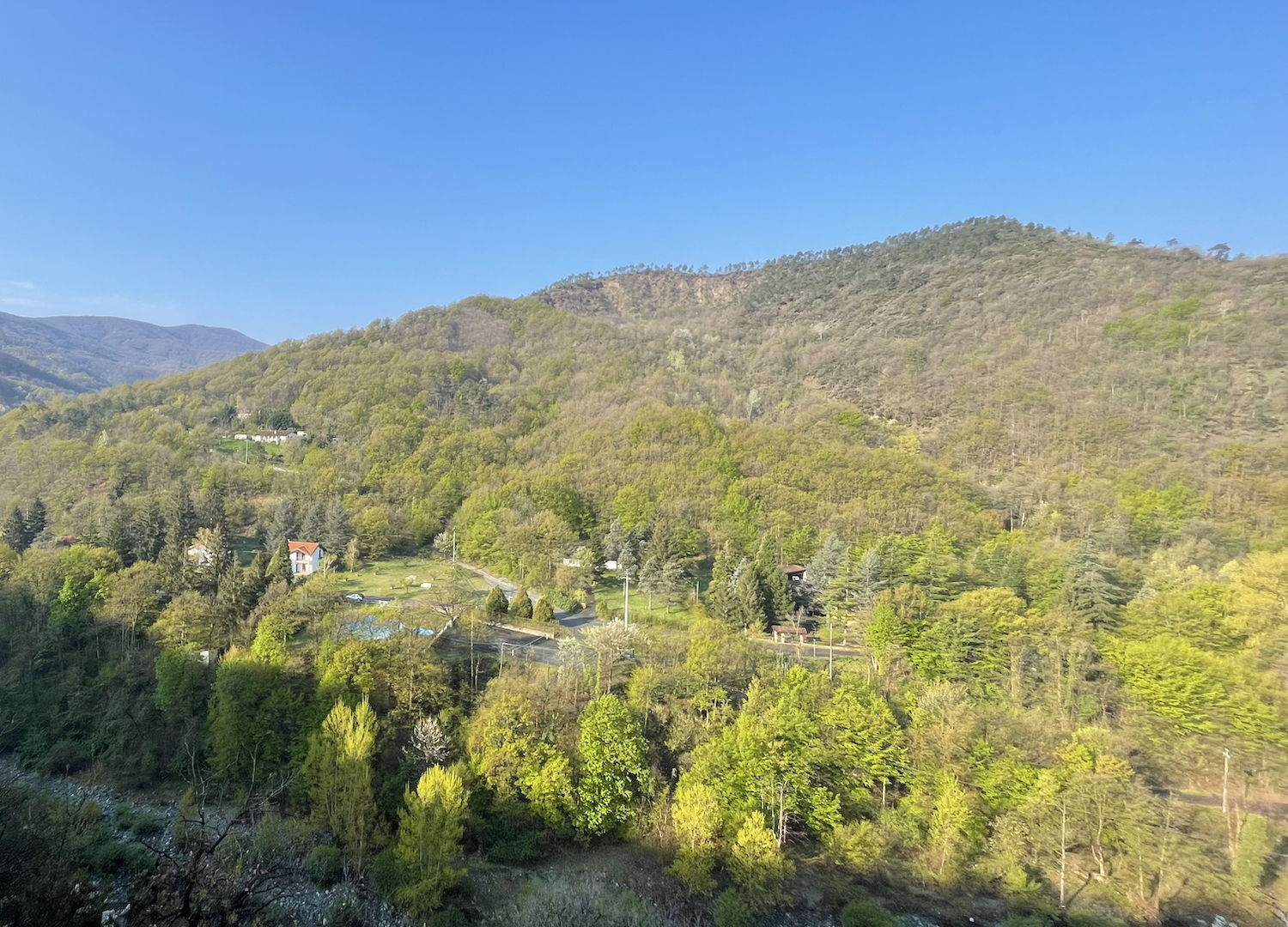
During the first decades of the twentieth century, due to the depopulation of the countryside, these lands returned to nature, and the vast majority of the farms where peasant life took place were abandoned.
This inexorable process of abandonment allowed nature to regain its spaces and show its primordial side again, that wild and unknown something that every year attracts many people fleeing the city in search of silence, far from the noises that develop along the busy and smoky ring roads.
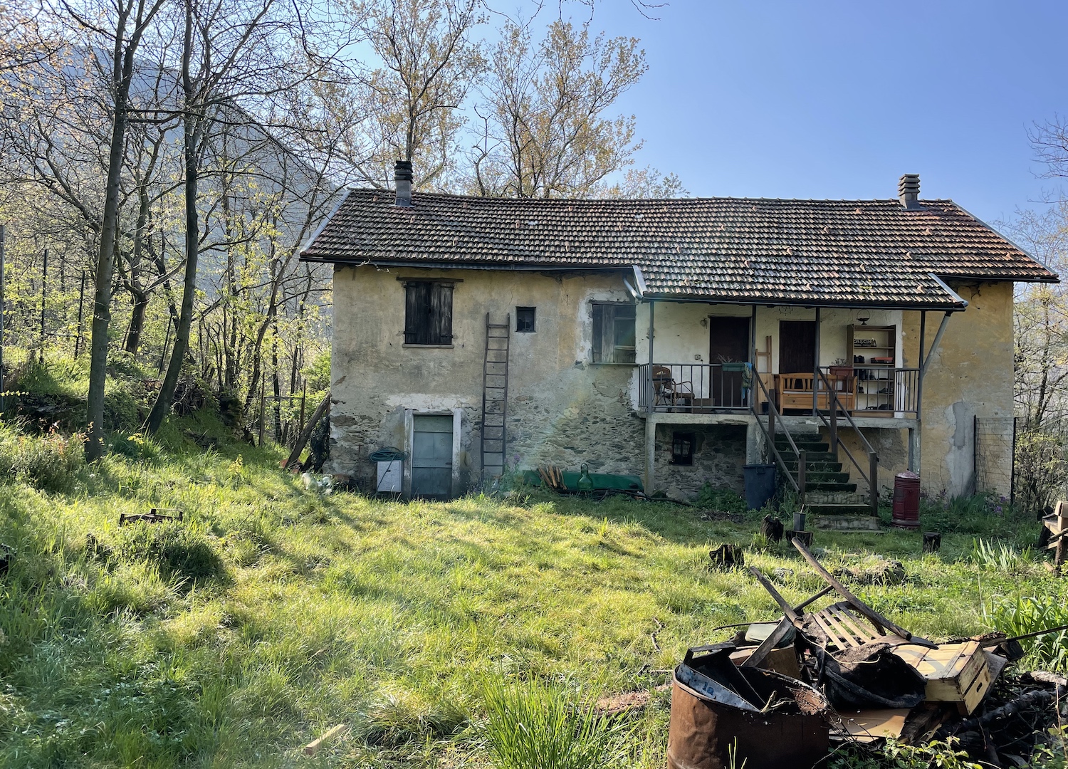
The starting point of this excursion is the Cirimilla farmhouse, where it is possible to have lunch while enjoying the local culinary delicacies, perhaps as a final reward for having attempted to find some specks of gold by sifting the Gorzente stream, with the same spirit of adventure as the settlers who took part in the gold rush in distant Klondike.
Yes, you understood correctly, man has searched for gold in this territory since Roman times, even attempting semi-industrial exploitation (with poor results) in the nineteenth century. For those who want to imagine living a Western, here it is also possible to explore the area on horseback (please don't get too involved: there are no Indians and firearms are not allowed).
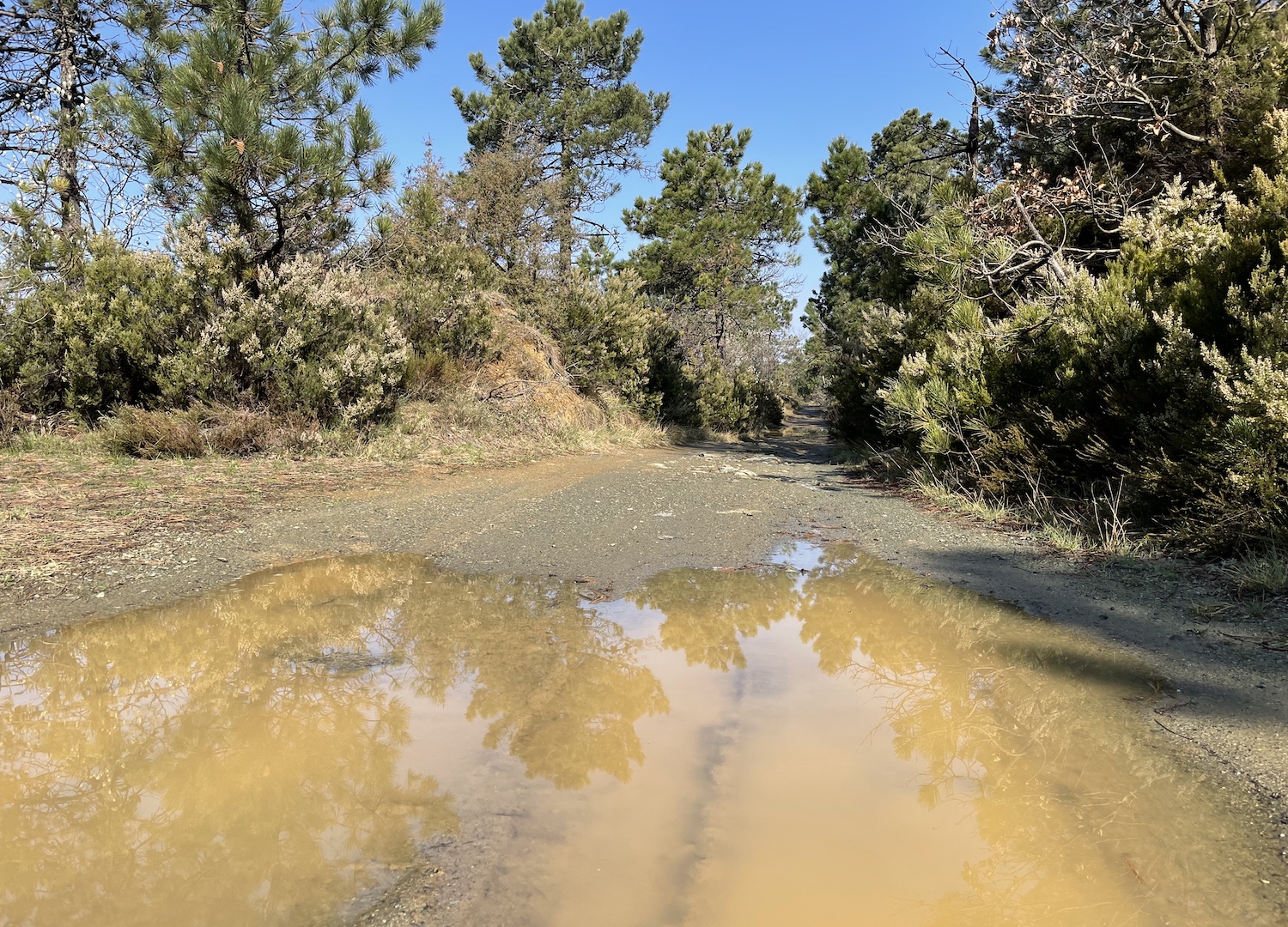
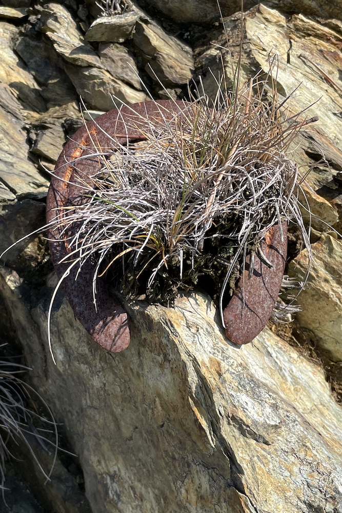
From Cascina Cirimilla you need to take the road on the left that enters the woods and rises along the crystalline waters of the Piota.
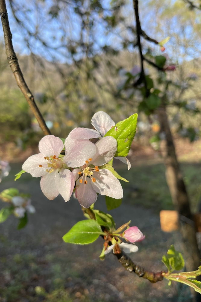
Spring brings the first blooms, and silence dominates the vast majority of this first part of the route.
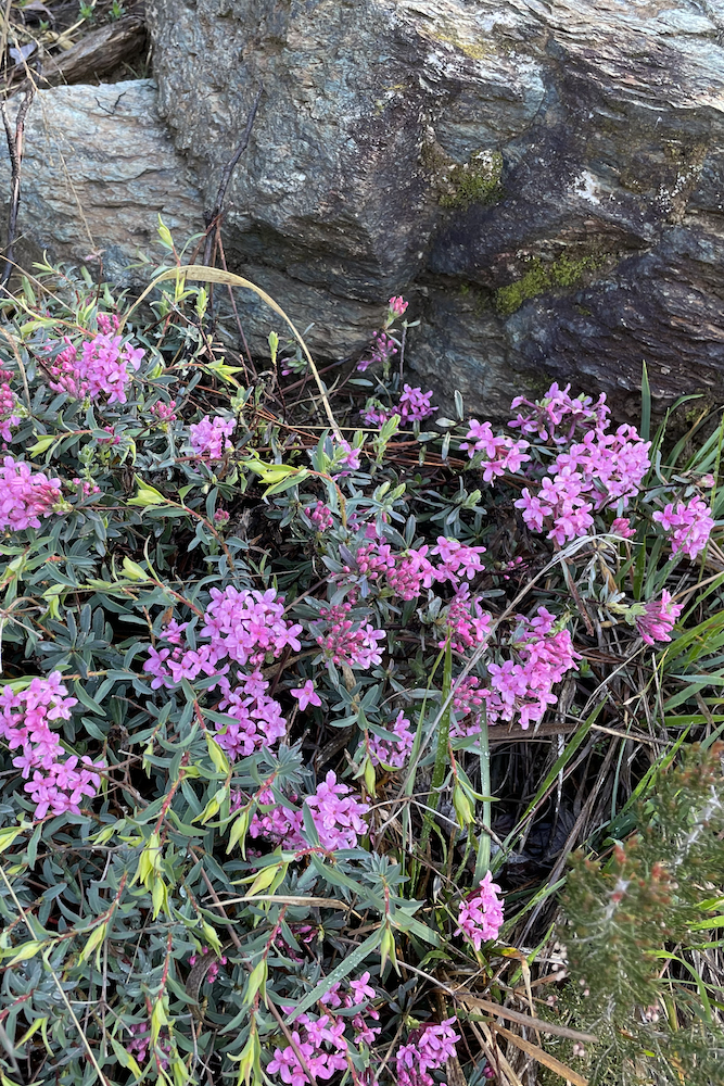
At Cascina Manuale, turn left and continue to rise until you reach the intersection with Cascina Il Cucco, a place which offers various initiatives to help you discover the area during the summer season: from here you continue to the right and after a while you will find yourself walking in an even wilder environment, with many rocky outcrops, the ideal habitat of the fragrant Daphne.
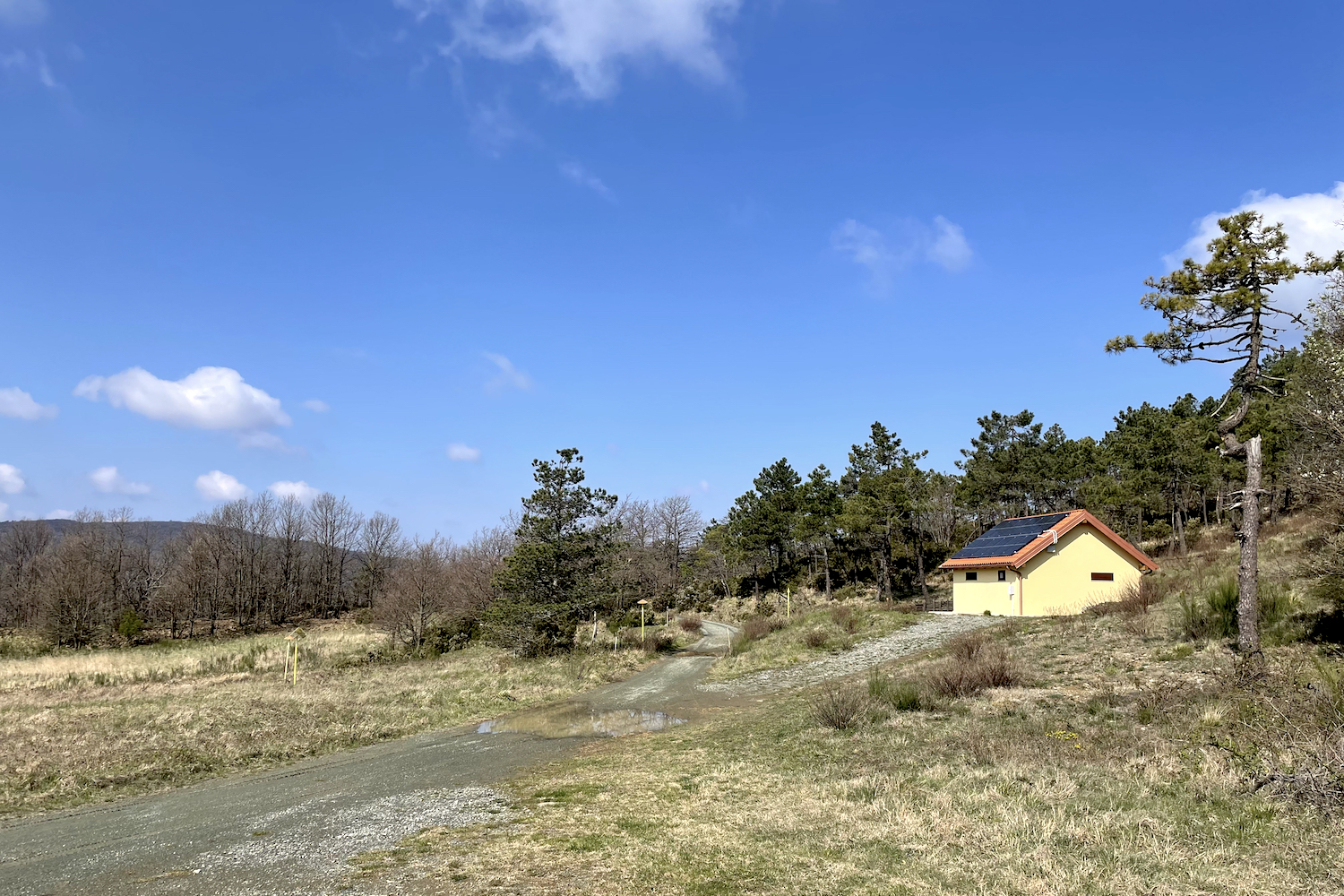
Once you reach a clearing where there is a building with solar panels on the roof, you will see signs: at this point you need to turn towards the Lavagnina lakes which are located to the north, passing by the ancient Ferriere road, where you will come across two abandoned buildings, immersed in a forest of oak and chestnut trees.
In this area there are, hidden among the vegetation, the entrances once used to access the mines. We have not identified them, and we always recommend going there together with a park guide.
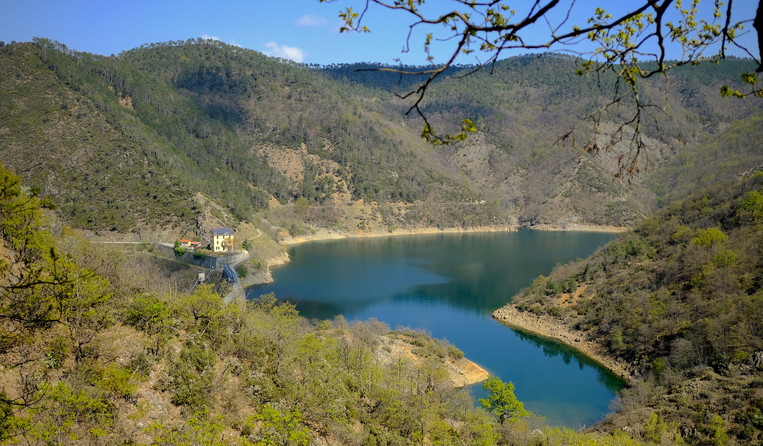
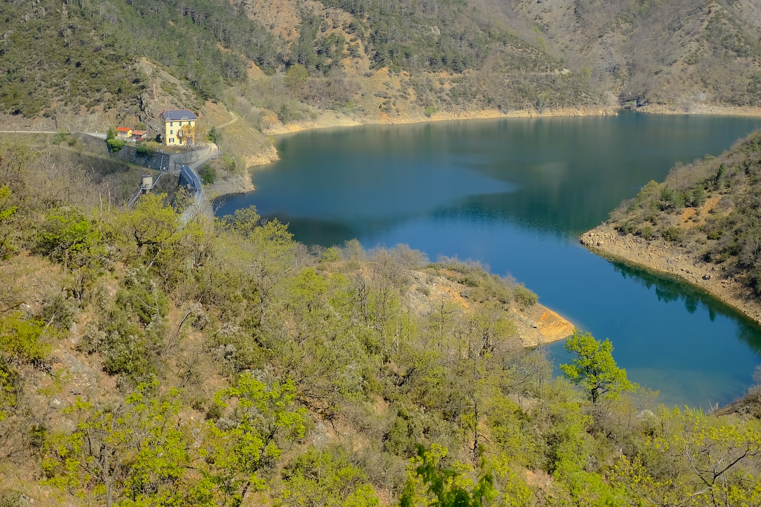
The most tiring part of the route is over, because you begin to descend towards the artificial lake of Lavagnina Inferiore, with its characteristic horseshoe shape.
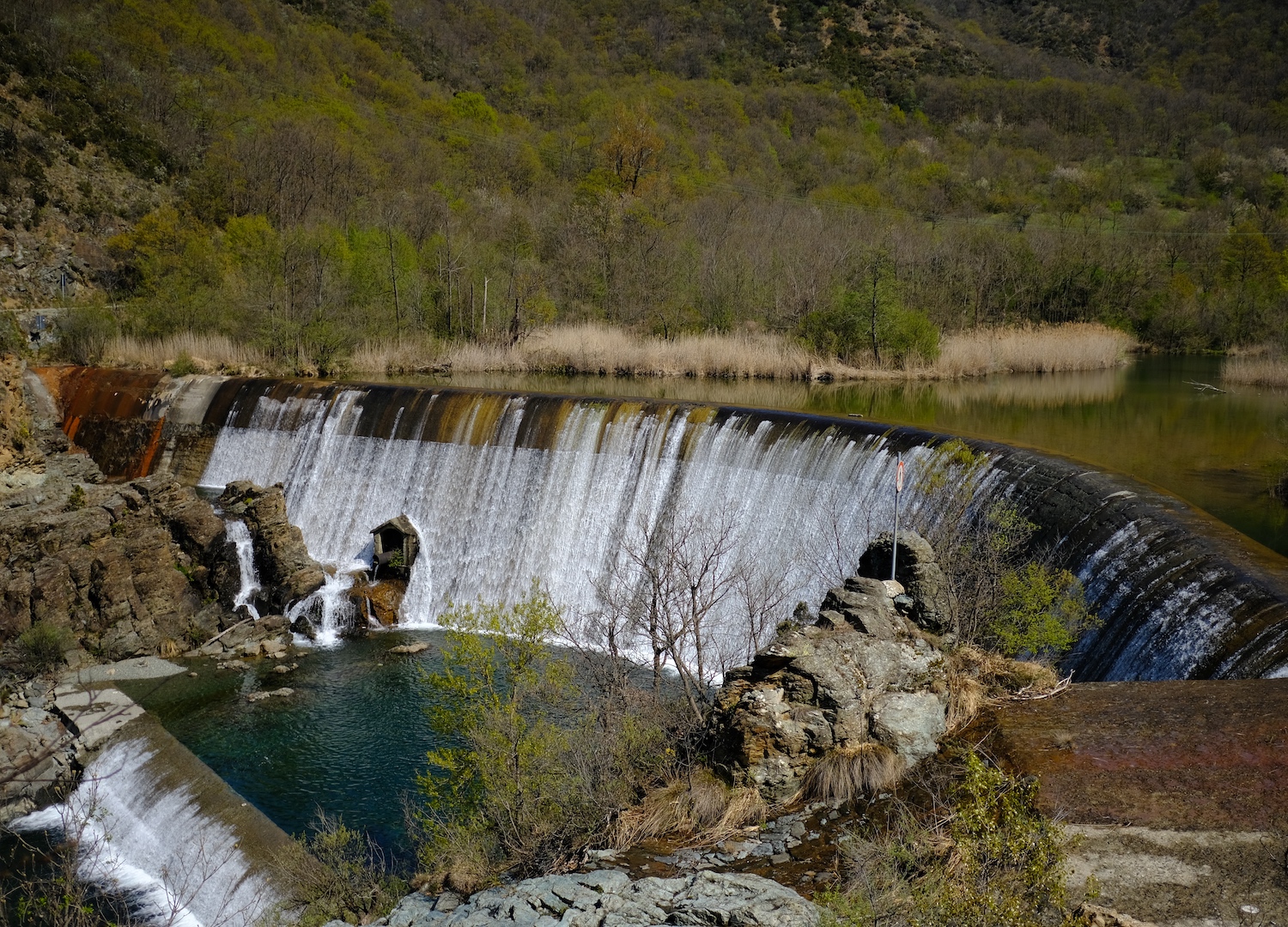
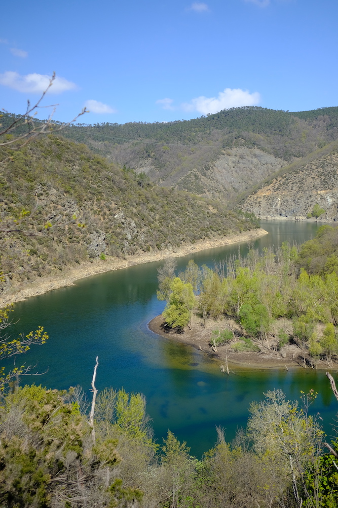
Seeing its shape and color from this part of the route is something superlative, which will leave you breathless.
Subsequently, instead of crossing the dam, the more intrepid can turn right and follow the path that runs along the right orographic part of the lake (be careful! it's easy to lose track) and find themselves in front of the second small reservoir, a little further upstream.
Here, if you haven't done it before, we recommend stopping on the "beach" for lunch: close to the Gorzente riverbed you will be in absolute quiet, where the only noise you will hear is the roar of the crystal-clear water.
Do you remember? We said before that it's easy to identify with a Western. Precisely at this point, the only way to cross to the other side of the river and continue the trip is to wade across it, which will certainly happen after rainy days with your trousers pulled up and your shoes tied around your neck! This way you can close the ring.
We therefore recommend, if you don't want to risk swimming out of season like we did, to choose days away from any major rain events!
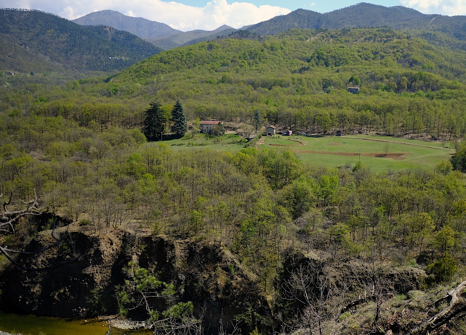
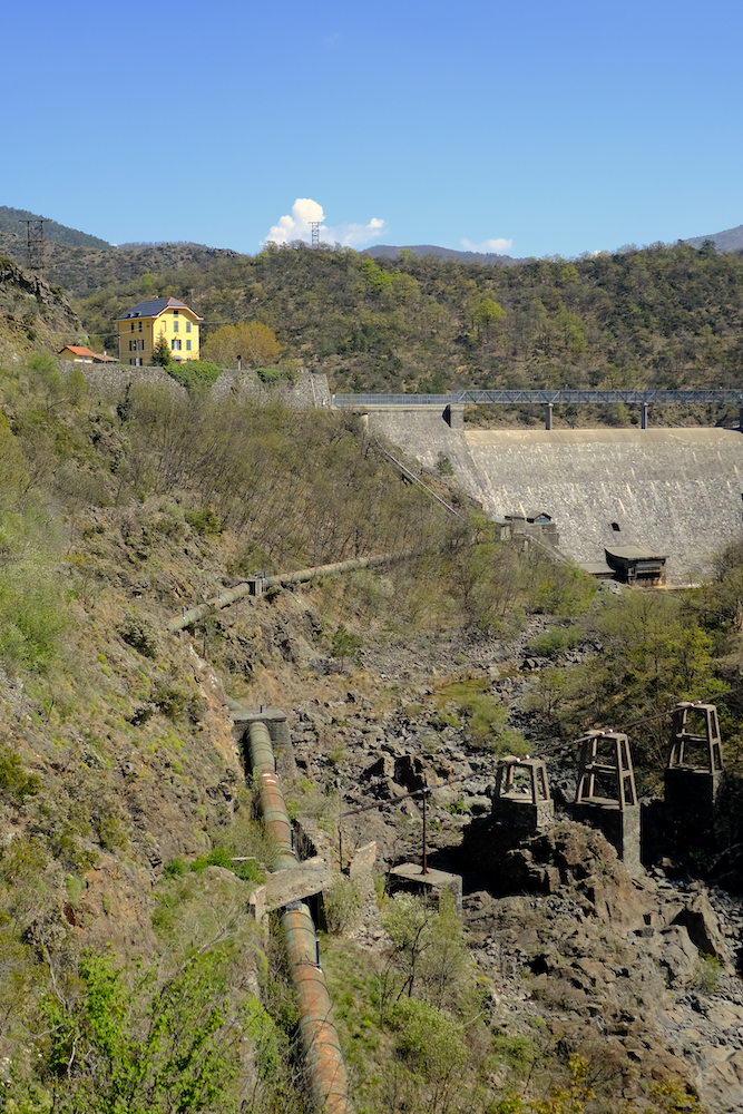
Once you have crossed the river you will find yourself on the easy nature trail of the Lavagnina lakes, which we talked about here, where you just need to continue on the easy flat road to get to the main dam.
Subsequently, the road that returns towards Cirimilla becomes completely asphalted, follows the forced conduit and continues in a suggestive narrow and sunken valley. To avoid further kilometers of asphalt, immediately before a curve (coordinates on google maps 44.620228, 8.724564) it is best to follow the course of the river and take the high path, a shortcut that ends before the bridge you crossed by car, a few dozen meters before of the parking lot.
It is also possible to avoid almost all of the asphalt and return from the path that passes by the Il Cucco farmhouse, but we didn't do it because we didn't want to add further altitude difference to this long but unforgettable day.
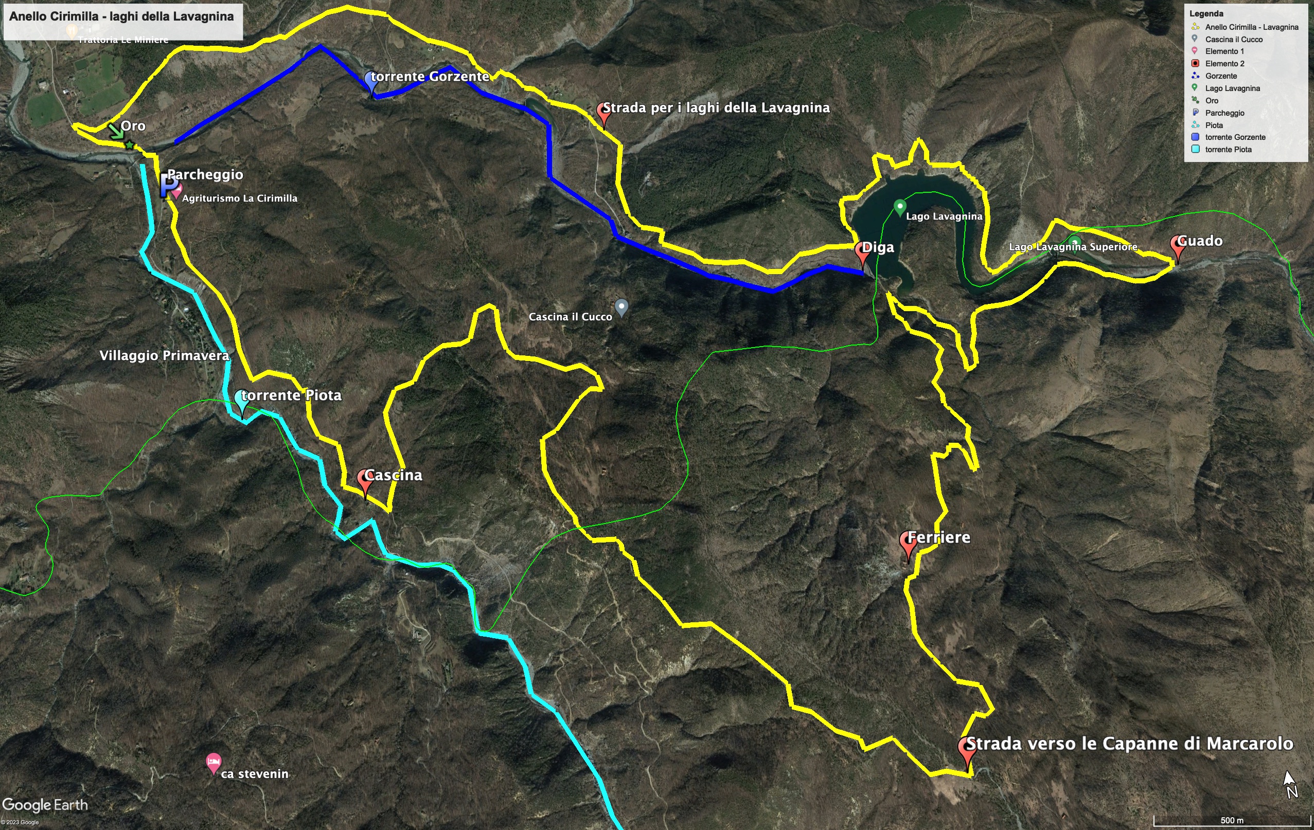
Trekking Map
That's all! If you like this text or have any question, leave a comment below.


Comments powered by CComment