Path lenght:
Parking at Prou Renè, SP4
Bric Nasciù
13 Km
500 mt
Medium
Yes
June
In June there
they will welcome
flower meadows
rich in irises
and Orchids

THE TOUR OF GORZENTE LAKES
Path lenght: 13 km.
The tour of the Gorzente lakes
We share the coordinates:
44.521434, 8.823426
(Copy and paste in Google Maps search label)
Useful info:
The nature trail is a real trek, to be tackled with appropriate shoes and clothing. Accessible all year round, to be avoided after incessant rains due to too much mud along the wet areas of the Rio Lischeo.
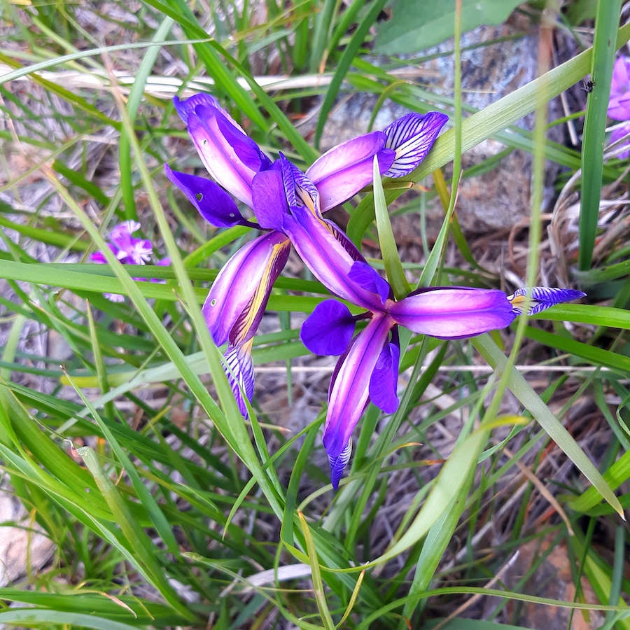
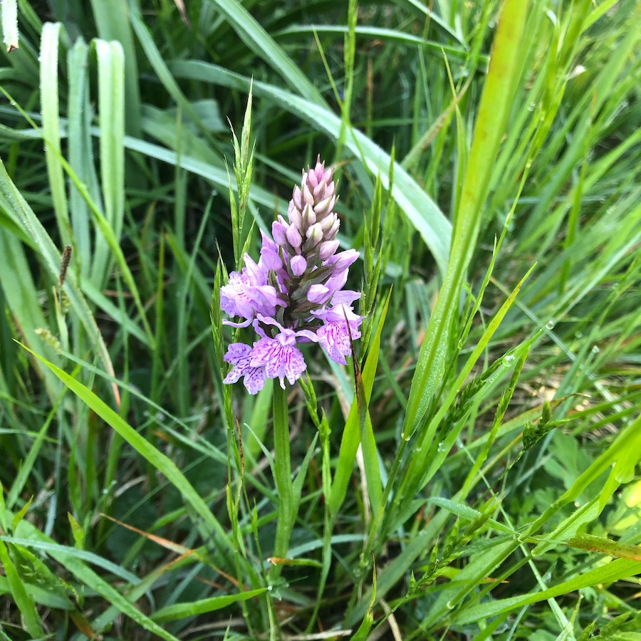
The naturalistic tour of the Gorzente lakes is one of those treks that establishes a strong bond with nature, a sense of belonging to something greater than us.
In these paths that cross woods, meadows and humid environments, nature has been able to change its presence by restoring a landscape rich in biodiversity, to be made known and preserved with care.
The starting point is the car park on provincial 4, a road that crosses the Praglia plains connecting the Genoese with the Stura and Ovadese valleys.
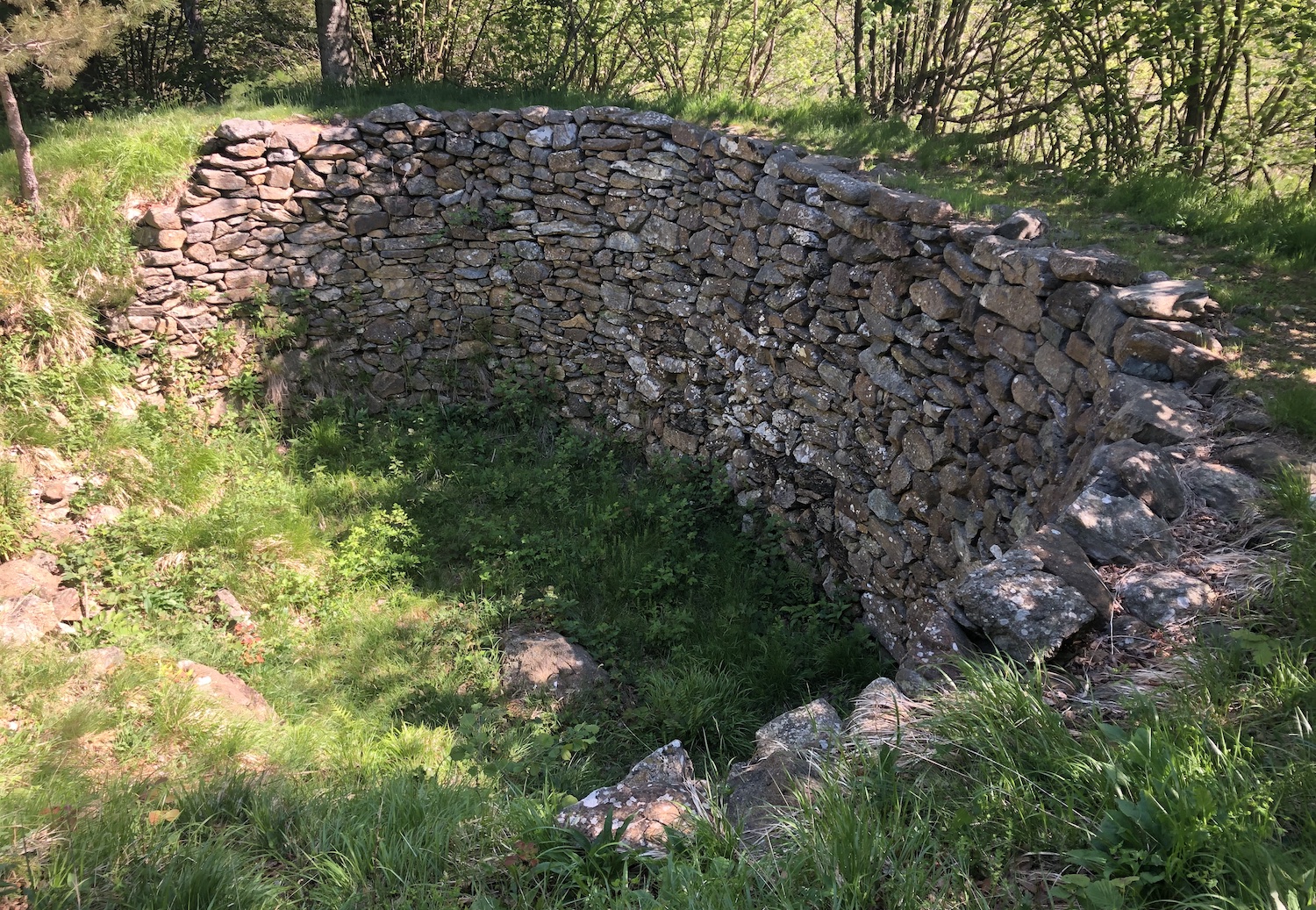
The path, always clearly visible and identified by a white-red trail sign, immediately enters the wood reaching a snowfield, a large and old "hole" delimited by a stone wall below the ground level which served as a storage for snow (a rudimentary icebox, which with current climate changes would be of little use).
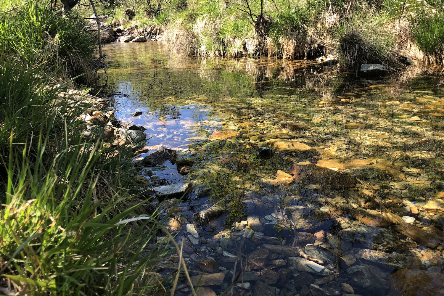
This whole area is humid because it runs along the Rio Lischeo, which subsequently meets the artificial barriers of the reservoirs of Lake Lungo and Lake Bruno, and continues beyond as Gorzente, crossing a suggestive sunken valley with its meanders.
Finally, before joining the Piota, it is once again blocked by the Lavagnina reservoir.
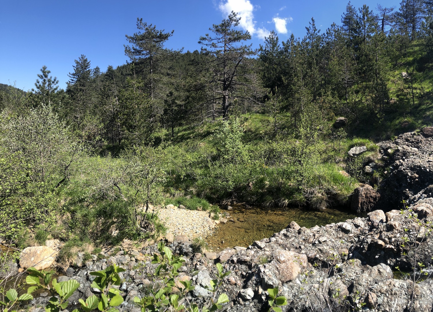
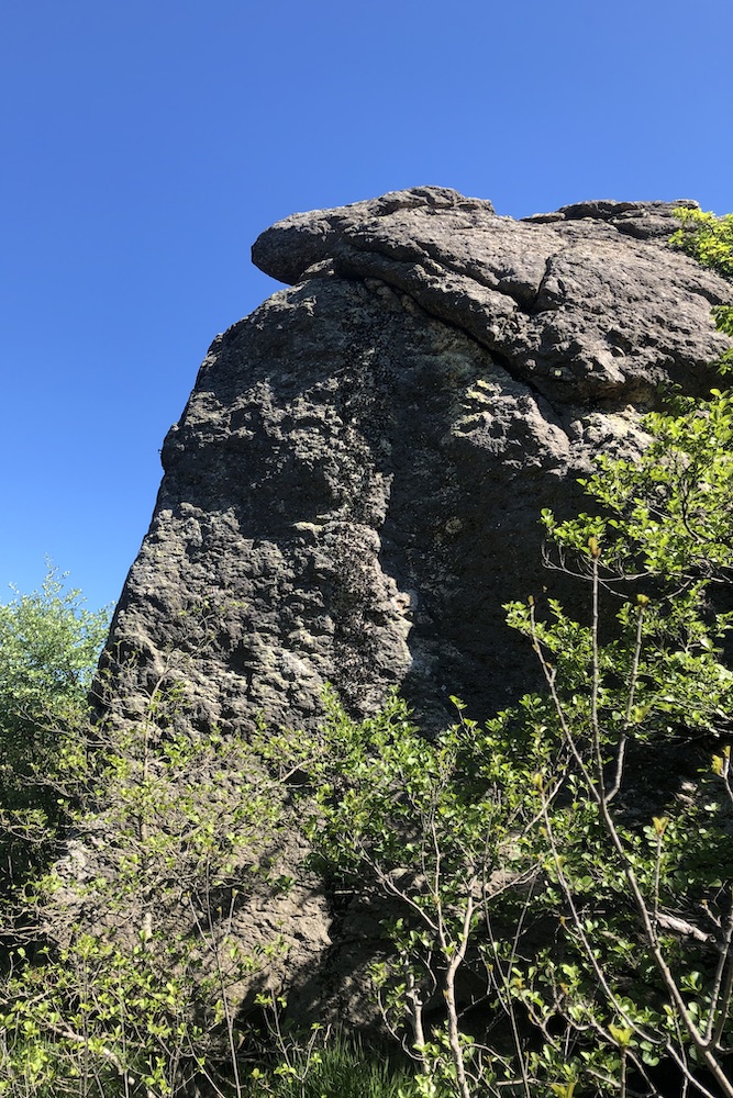
The path leaves the Lischeo with an easy ford, and enters the wood taking a bit of altitude from which it is possible to have a first look at the Lungo lake, after which it descends and arrives at the point where the bridge that connects the shores of Lake Bruno is placed, right next to the caretaker's house.
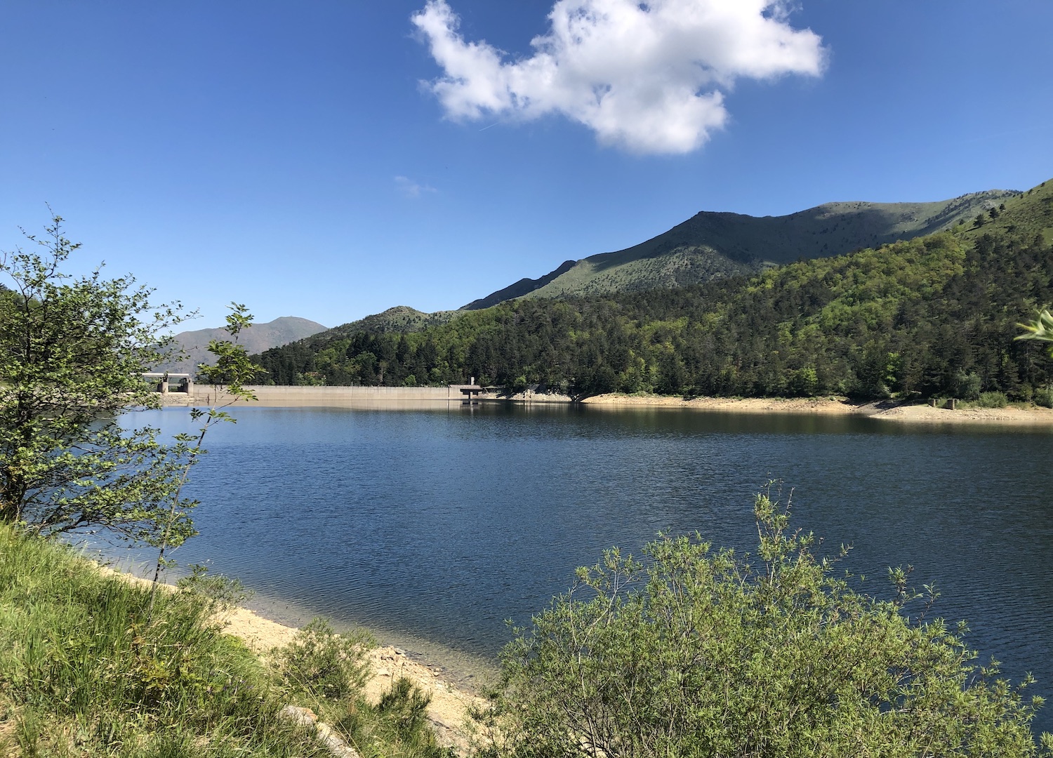
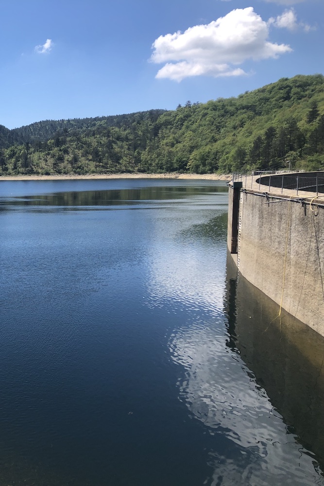
From here you have to follow the indications of the yellow sticker that lead to a bush where the road returns to climb and reaches the shrine of the martyrs of Mezzano, a silent place where some partisans who escaped the massacre of the Benedicta were shot during the brutal round-up.
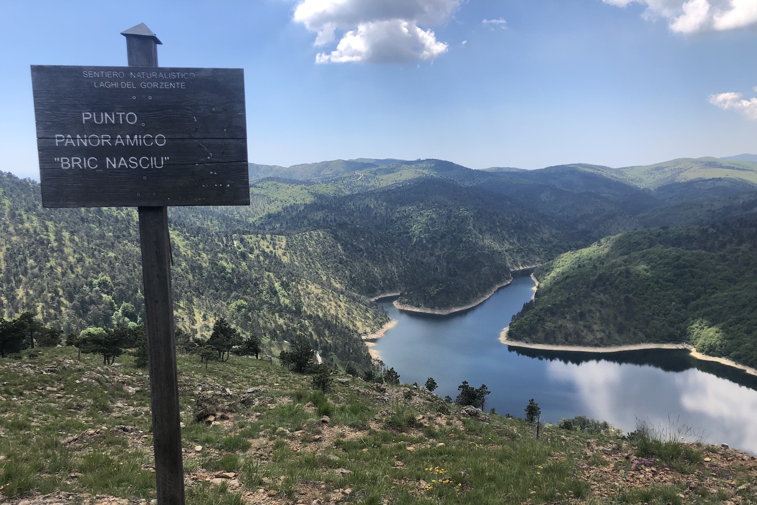
After the shrine we arrive in a short time at the viewpoint that we think is the most beautiful of the trip, one of the most picturesque in all southern Piedmont and the Ligurian hinterland, the Bric Nasciu, equipped with a bench to sit and admire the park of the Capanne di Marcarolo with its lakes and the sea in the distance.
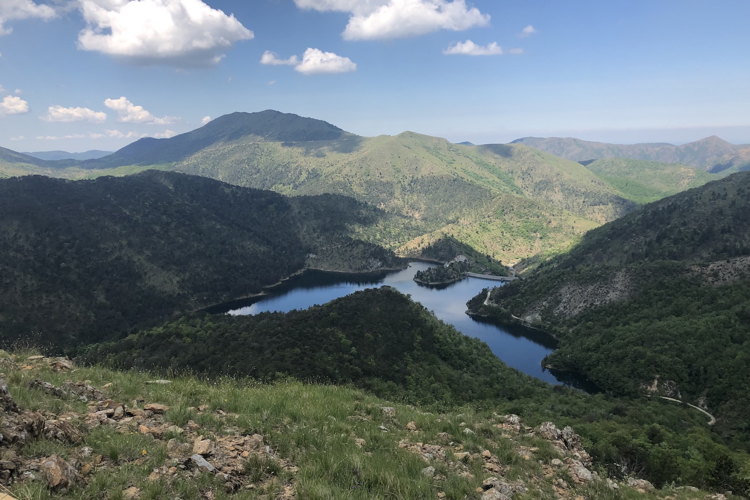
It is advisable to have lunch in this corner of paradise before setting off again and crossing the "Alta via dei Monti Liguri" (white and red sign with the AVML inscription), which bends to the right reaching the naturalistic observatory of the CAI, another stop with a beautiful view.
From here we took the path that descends to the left and reaches the Prato Leone pass, where it is not unusual to meet some small herd or group of horses.
Once here we followed the dirt road and came out onto the asphalted road, the same that after a few uphill bends would have brought us back to the starting point.
Trekking Map
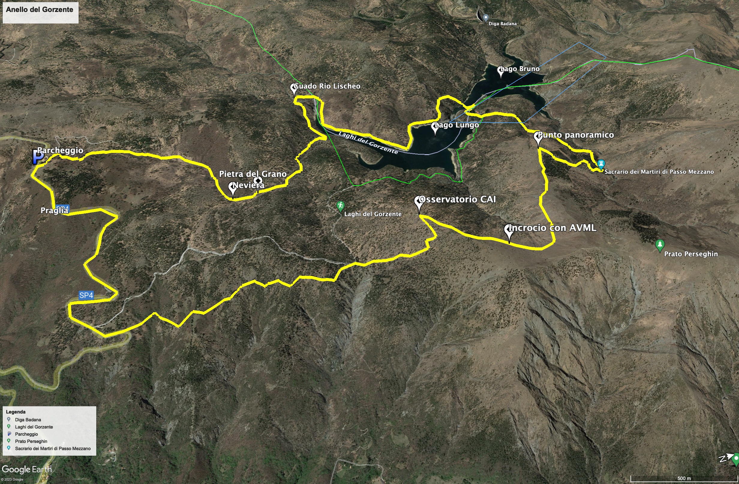
That's all! If you like this text or have any question, leave a comment below.


Comments powered by CComment