Path lenght:
Brugneto dam.
Bavastri
12,5 Km
600 mt
Medium
Yes
October
If you're lucky
in October
you will be able
to hear
the roars
of the deer in Love.
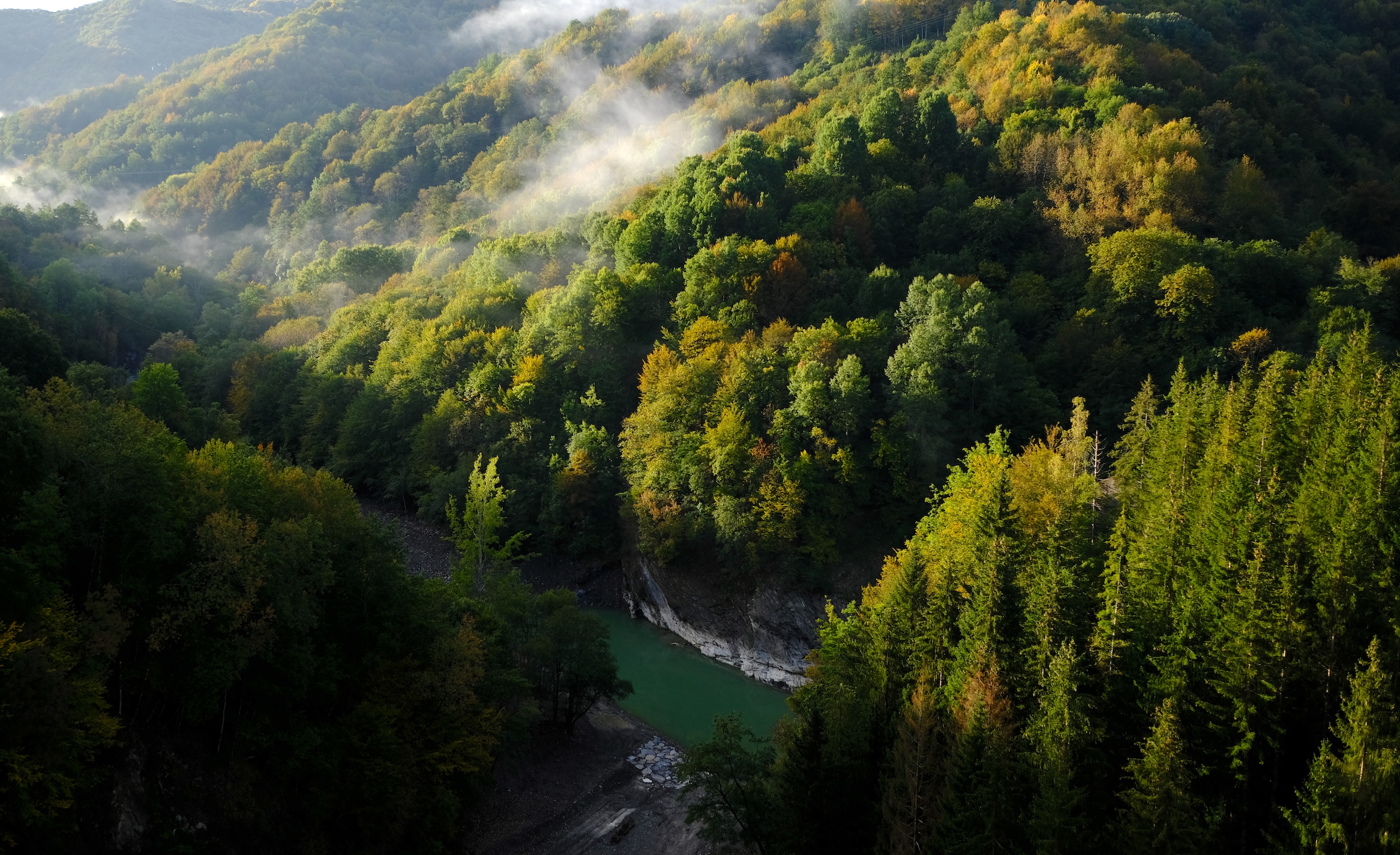
THE TOUR OF BRUGNETO
Path lenght: 12.5 km.
The tour of Brugneto
We share the coordinates:
44.569943, 9.074894
(Copy and paste in Google Maps search label)
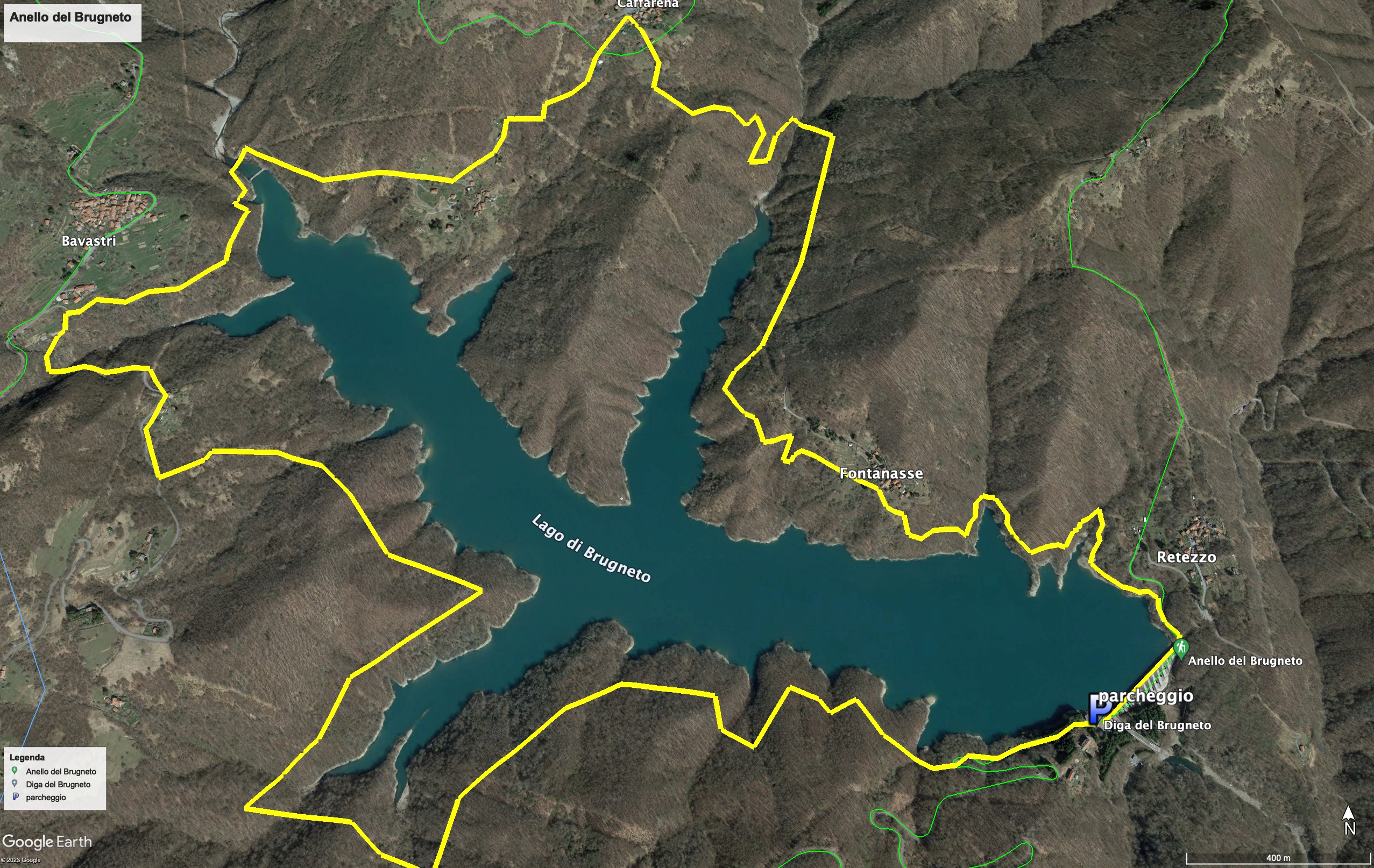
The tour of the Brugneto lake begins right from the dam that since 1959 blocked the homonymous stream, giving birth to the largest lake in all of Liguria, as well as the main water reserve of the city of Genoa, with a capacity of 25 million cubic meters.
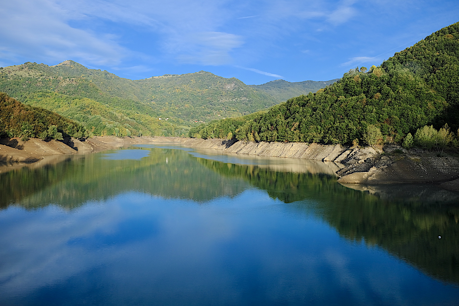
Arriving early in the morning allows you to spot the numerous roe deer that populate the area (we saw about ten of them before arriving at the dam parking lot, a number of sightings difficult to reach elsewhere).
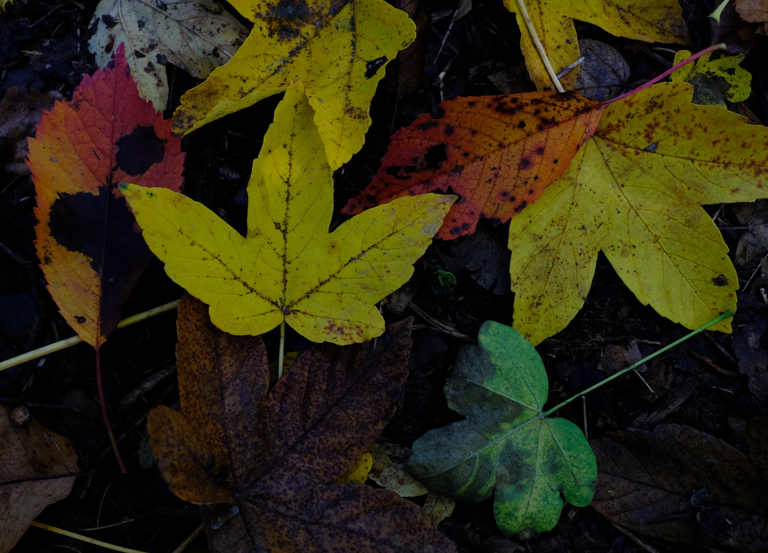
The tour is not very difficult and in autumn it allows you to collect chestnuts along the entire route, but it is quite long and in the first section it has some ups and downs with a sustained slope, to be done with a rested leg: for this reason we recommend traveling counterclockwise, in so you can enjoy the easier part in the second half of the route.
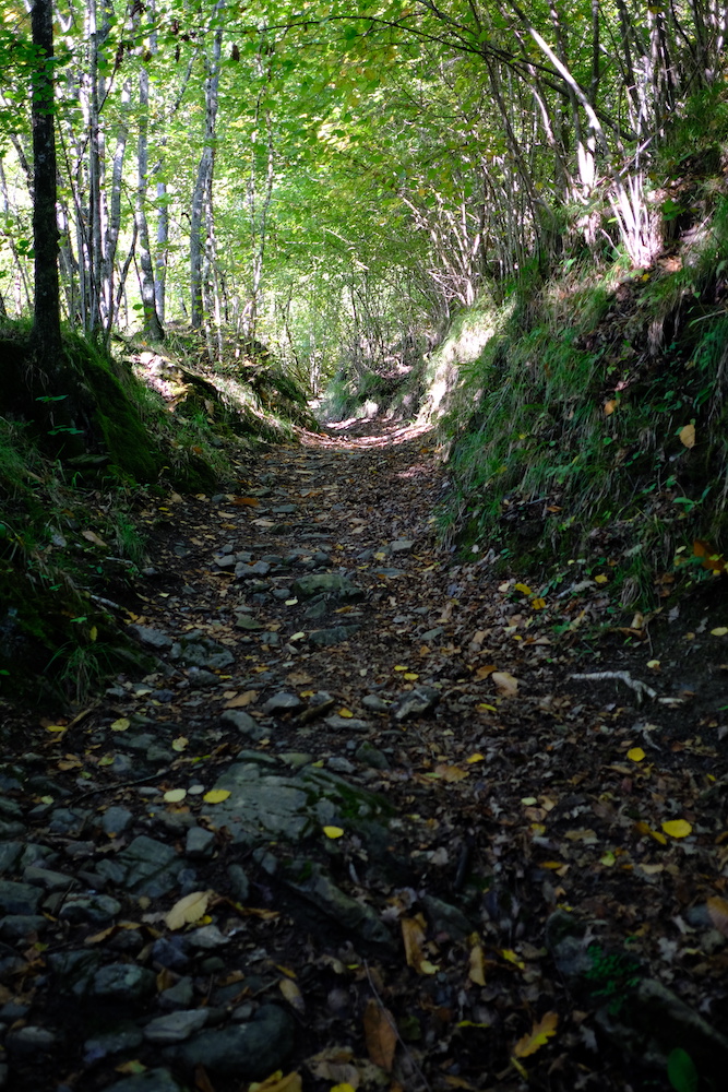
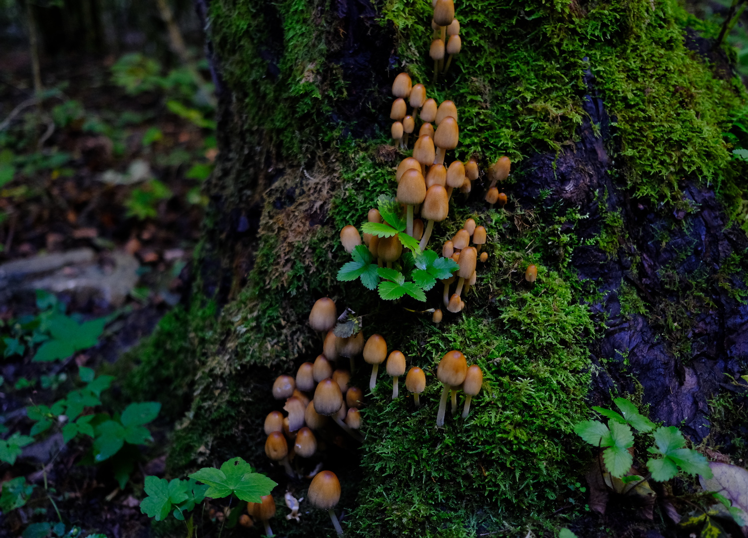
Once you have crossed the dam, you will quickly reach the small village of Fontanasse, from there you will walk along the jagged bank of the reservoir for a while until you reach the indication for Caffarena, a small rural village where we found small but tasty wild apples. From Caffarena, take the road that remains on the right of the football field of the village, enter the woods and reach the tiny hamlet of Albora, made up of pretty houses connected by an asphalted road.
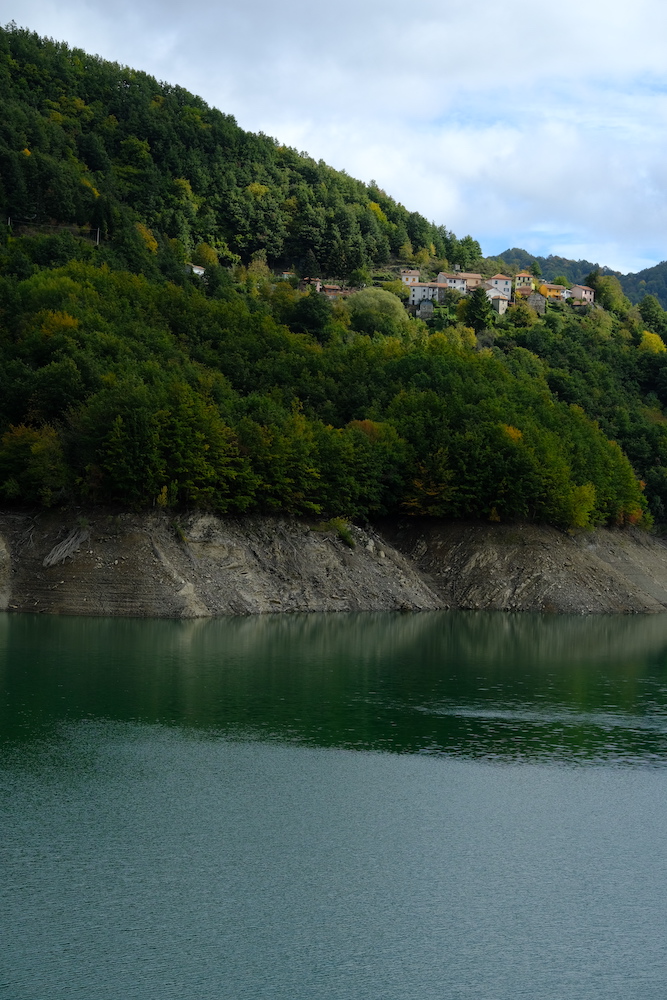
From this hamlet, continue on the road, thus arriving on the opposite side of the dam, near the village of Bavastri, where many wild walnuts can be collected.
After periods of severe summer drought, here it is possible to see the old service bridge. We hope for the sake of future generations that such a prolonged drought is one of the rarities and does not become a dangerous habit!
From the bridge you walk about 500 meters on the road before returning to the path, clearly visible by turning left, just before passing in front of a house with a stone-covered porch.
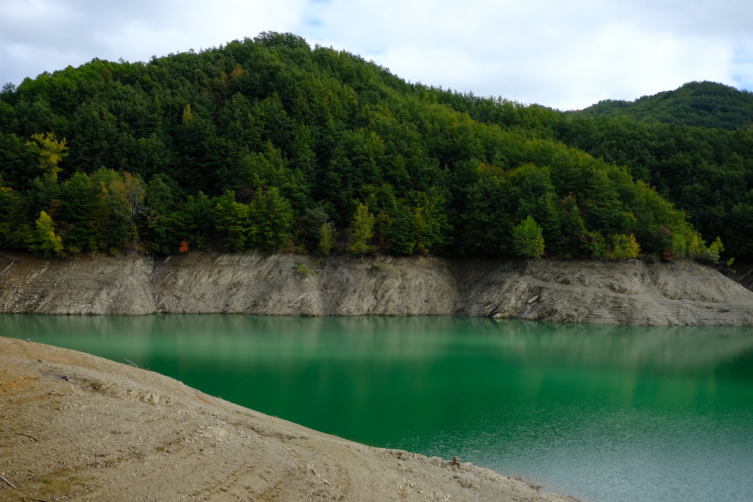
From this point the path will skirt the entire southern part of the lake and will return to the dam, always maintaining a very contained and pleasant difference in height.
If you are lucky, you can also hear the roar of the deer during the mating period, which occurs in October.
A long tour that really deserves a visit, especially for those looking for quiet paths, who love photography and want deeper contact with nature, away from more famous destinations.
Trekking Map
That's all! If you like this text or have any question, leave a comment below.


Comments powered by CComment