Path lenght:
Genova Costa station, GE
Madonna della Guardia
20 Km
1000 mt
Medium
No
April
On a clear day
offers a panorama
breathtaking view that sweeps
from the Ligurian Sea
to Corsica.
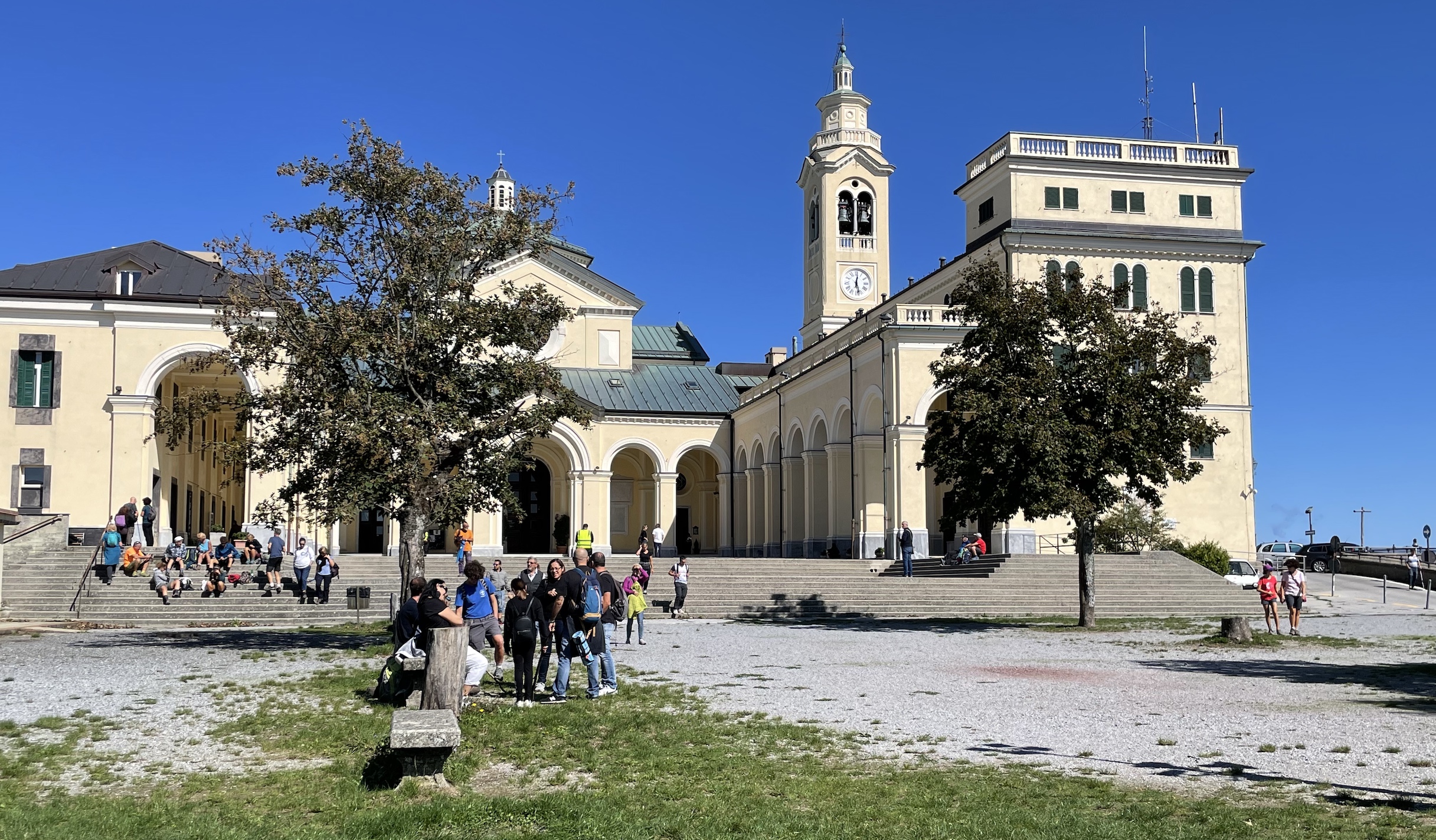
THE SANCTUARY OF THE MADONNA DELLA GUARDIA
Path lenght: 20 km.
The sanctuary of the Madonna della Guardia
We share the coordinates:
44.433892, 8.847019
(Copy and paste in Google Maps search label)
Info utili:
The excursion to get to the Madonna della Guardia from Sestri Ponente is quite long and is recommended for good walkers.
There are no fountains along the way.
As always, since it is a partially trekking route, we recommend that you leave with suitable clothing.
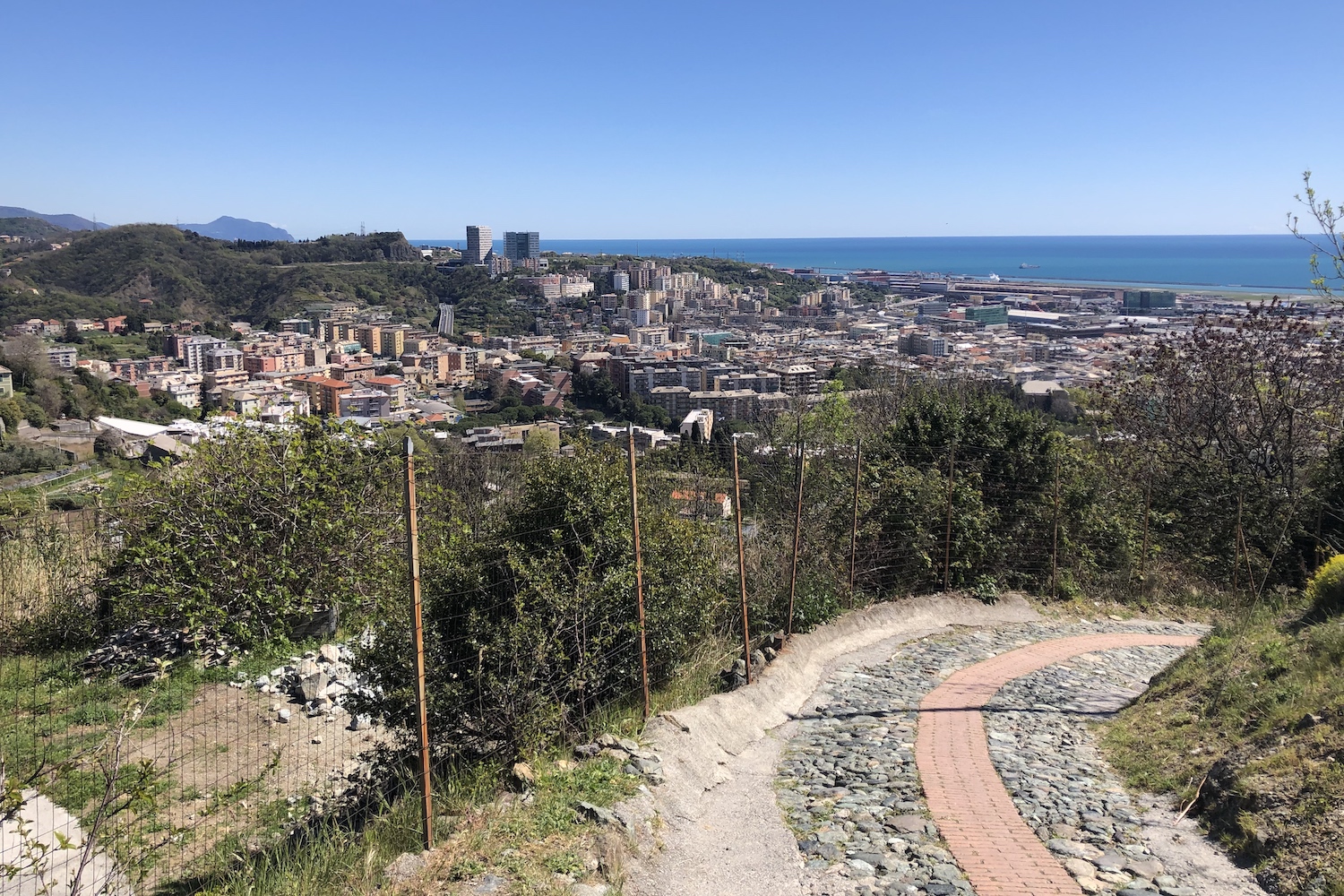
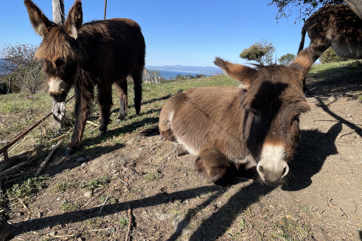
From the Genova Costa station, take the crêuza which is located on the mountain side and first reaches the astronomical observatory and then the small church of San Rocco, making your way through an environment that is less and less urban and more rural (where it is not infrequent to greet some donkey).
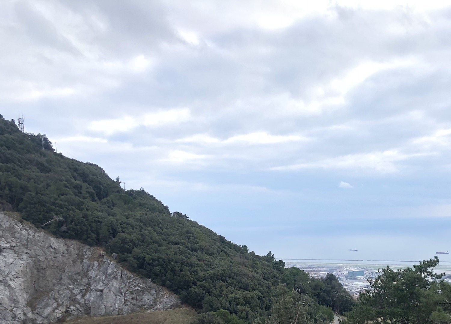
Once you reach the open space with the ruins of the Second World War forts, turn left onto the paved road that descends from Mount Gazzo, walk 100 meters and take the path on the right that climbs through the Mediterranean scrub.
This part of the trail is very open and panoramic, with beautiful views of Mount Gazzo and the coastline, and leads to the municipal kennel on Mount Gazzo.
From the kennel you walk on the paved road (via Rollino) which continues inland, after which at a certain point you have to stay on the left-hand road which follows the route of the pipeline and crosses some wooded areas and other meadow clearings.
In this section of the path you will find yourself on the ridge that runs parallel to the Varenna valley (link val Varenna) and you will be immersed in silence... which will end near the Borzoli motocross field, next to the Scarpino landfill, where in 2021 it is the new biomethane production plant started (link).
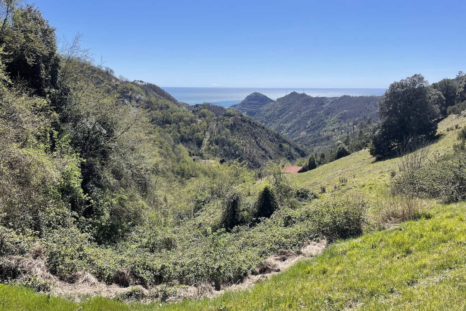
Once near the Osteria Tucci, the tour continues on the paved road towards Lencisa, passes a farmhouse with a peasant imprint and arrives at the foot of Mount Figogna, on the top of which is the sanctuary of the Madonna della Guardia, the goal of the day.
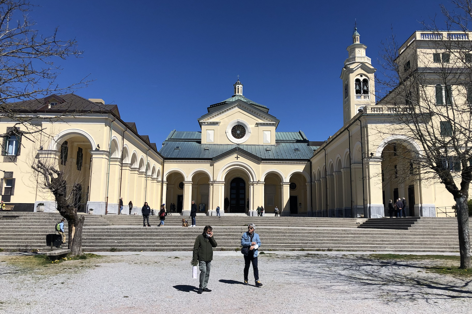
Once you climb the steep path that crosses the former railroad, you arrive at the square of the very popular sanctuary, the square in front of which offers on a clear day an amazing panorama that ranges from the Ligurian Sea to Corsica, from the plains of Praglia to Mount Antola.
The return journey is the same as that of the outward journey.
It is possible to continue towards Murta and descend towards the Polcevera valley, but then it will be necessary to use the city bus service to return to Genova Costa (lines 63, 53 and 158).
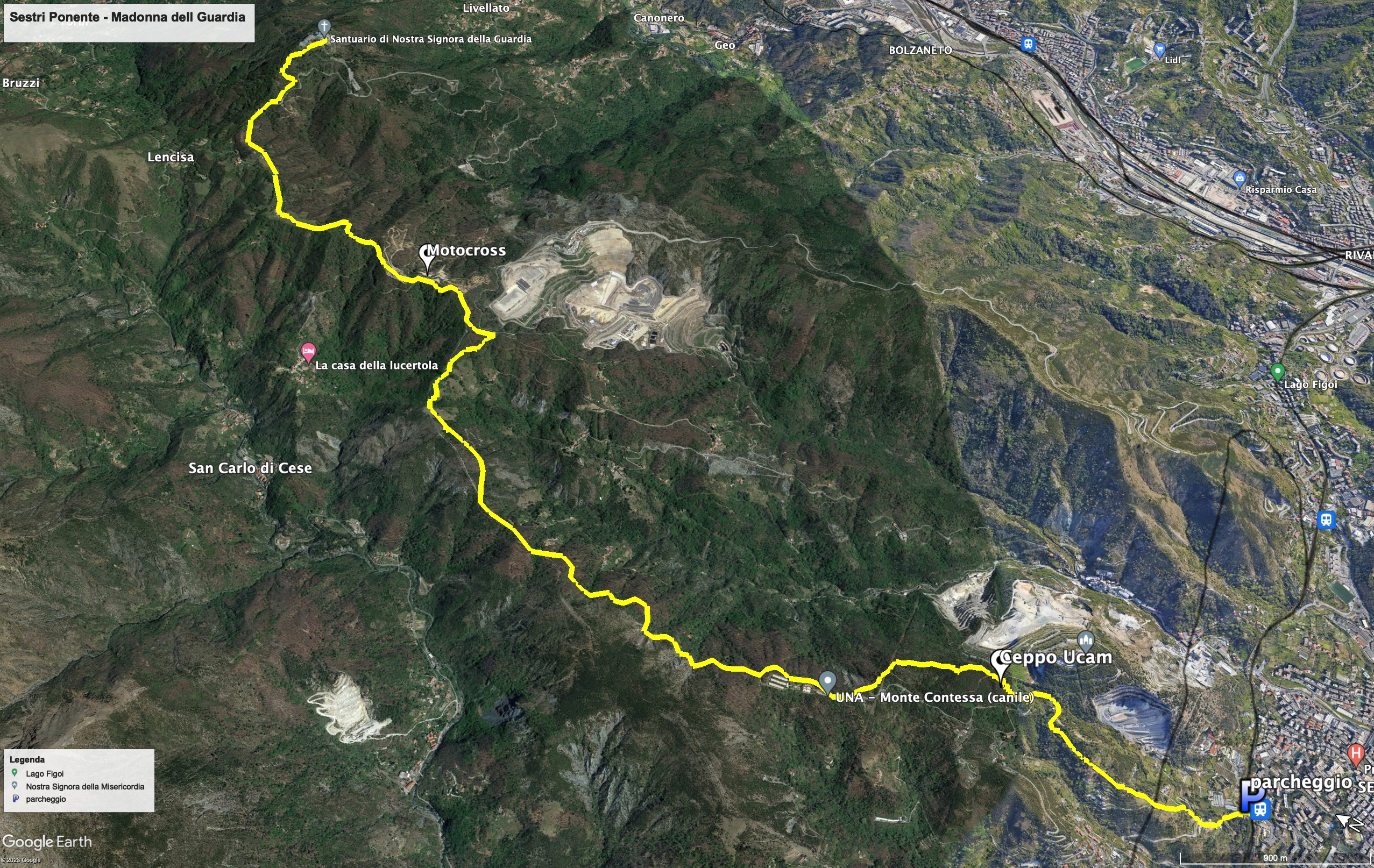
Trekking Map
That's all! If you like this text or have any question, leave a comment below.


Comments powered by CComment