Path lenght:
Genoa Borzoli station
Ruins of Cassinelle abbey
10 Km
650 mt
Medium
Yes
November
...Surrounded by an
almost impenetrable
thicket, where one
cannot fail to notice the
succulent strawberry
trees.
THE RUINS OF CASSINELLE ABBEY
Path lenght: 10 km.
The ruins of Cassinelle abbey
We share the coordinates:
44.434601, 8.867006
(Copy and paste in Google Maps search label)
Useful info:
In some places the path is impervious, so we recommend that you approach it with suitable clothing.
There are no sources of drinking water along the route: bring sufficient water supplies.
During the journey, telephone coverage is good.
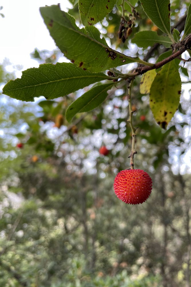
In autumn, for those with a sweet tooth, it is possible to taste the strawberry tree.
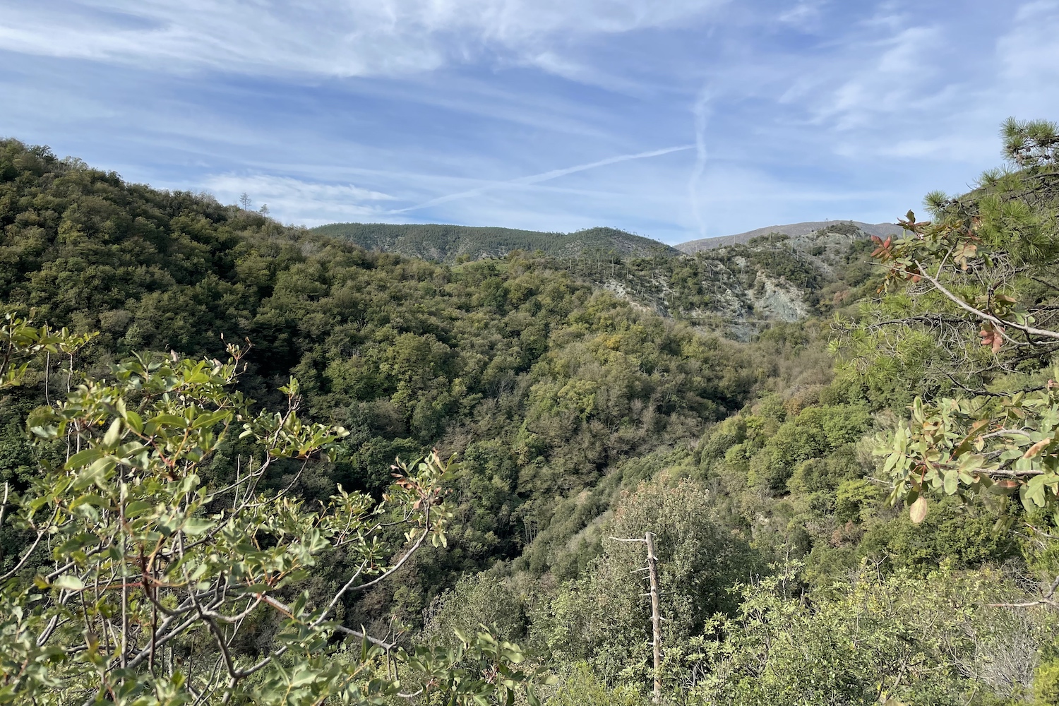
We had been looking for the ruins of Cassinelle Abbey for a long time, but due to abandonment and the advance of time they had become almost impossible to locate.
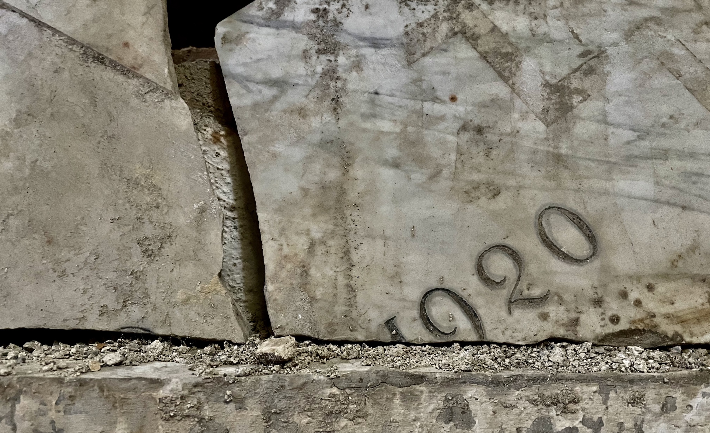
If today we can reach them with a trek it is thanks to the volunteers of the A.S.D. Monte Gazzo Outdoor, which, due to a meticulous recovery that took place in 2020, cleaned up the abbey area and the paths that lead to it.
We have chosen Sestri Ponente as a starting point, but for those who are not from the area, we recommend starting the tour from the Genova Borzoli railway station (adjacent to a large parking lot in via Giuseppe Saracco).
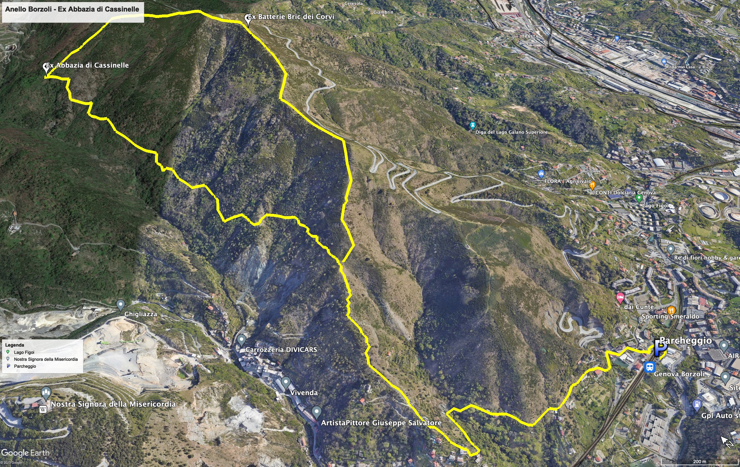
Leaving the station, turn left into via monte Sleme, skirt the ancient medieval church of Santo Stefano in Borzoli (link wikipedia) and continue along via Rivassa, on a paved road that turns into a path, ford a small stream and come out in via vico Superiore Priano.
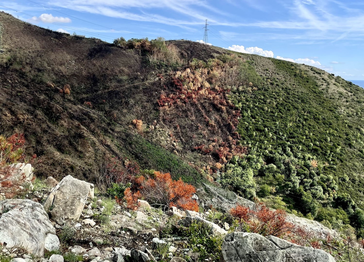
At this point you have to continue in via S. Rocco di Borzoli and arrive at a small cemented clearing where the path begins and makes its way through the Mediterranean bush (unfortunately partially burnt after a bad fire that occurred in July 2022 link ), from which you will be able to clearly see Mount Gazzo excavated by centuries of incessant mining activity.
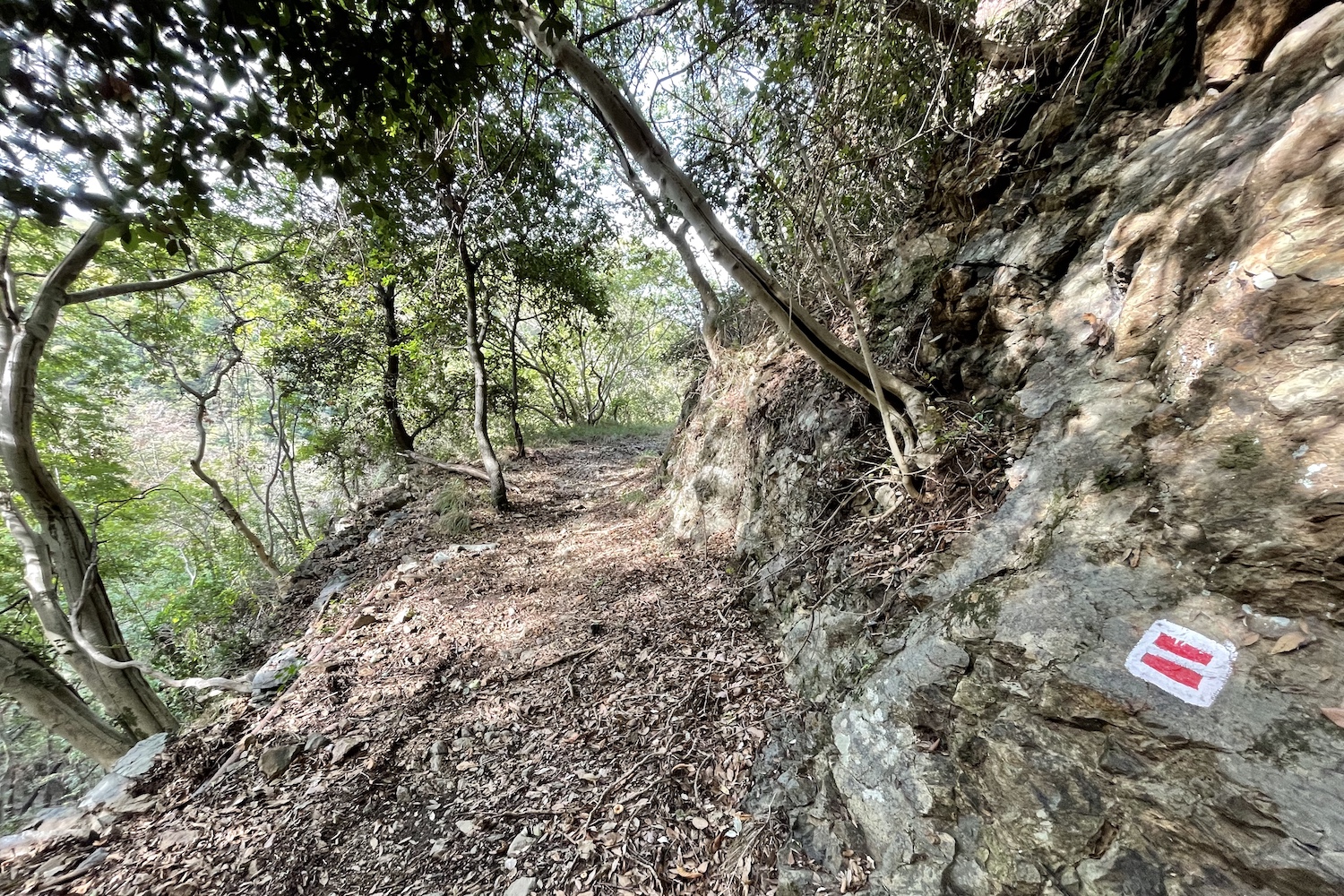
Once you arrive at a green high voltage pylon, turn left following the directions on the small wooden sign bearing the directions for "Cassinelle".
The next part is the most demanding of the whole track. It consists of a narrow and partially collapsed path, which runs halfway along the orographic left of the Cassinelle stream and reaches the former abbey, surrounded by an almost impenetrable bush where you cannot fail to notice the succulent strawberry trees in the autumn season.
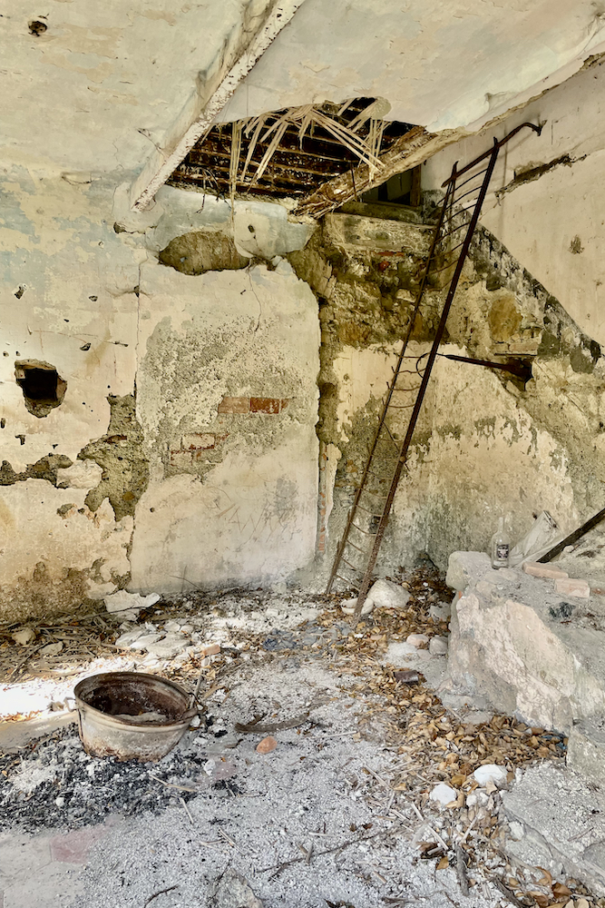
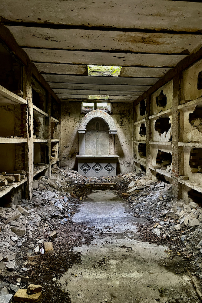
The remains of the abbey are very impressive, especially when you enter the abandoned crypt under the hermitage, where the small frontal altar and the remains of the mosaics of the crosses on the floor are still visible.
Insight (in italian):
Il ricordo di un tempo
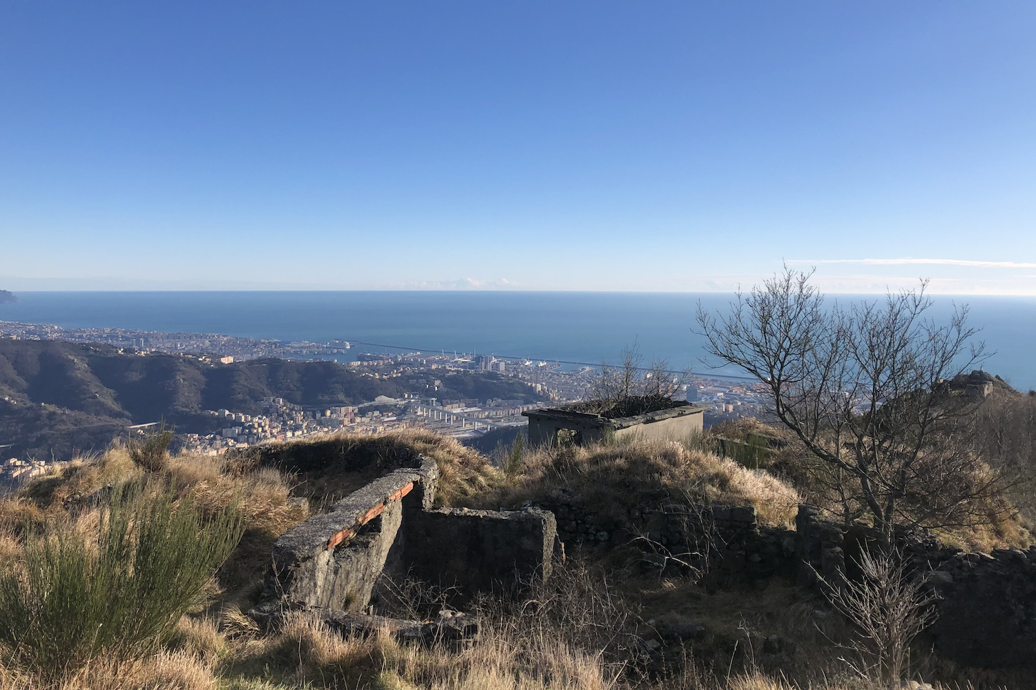
To continue the loop, follow the path that climbs up to Mount Teiolo, the point of maximum altitude of the trip, and then continue towards Bric dei Corvi.
In this section the path is very easy, panoramic and suitable for everyone. This walks among low shrubs and meadows, skirts the road that arrives from Scarpino and finally descends returning to the pylon where there were signs for the abbey.
Trekking Map
That's all! If you like this text or have any question, leave a comment below.


Comments powered by CComment