Path lenght:
Camogli
Abbey of San Fruttuoso
7 Km
600 mt one way
Expert
No, possible return by ferry
March
The path follows
the incredible
route of the
19th-century aqueduct
that served
the thirsty Camogli
THE PATH OF THE TUBES
Path lenght: 7 km.
The Path of the Tubes
We share the coordinates:
44.346982, 9.156903
(Copy and paste in Google Maps search label)
Useful Info
Attention!
This is the most challenging path in the entire Portofino promontory, and can only be covered with a Park guide.
You can contact the institution and book a visit by writing an email to:
The path has some stretches where it is very exposed and equipped with chains, and involves passing through dark and narrow tunnels that require the use of a torch.
If you suffer from vertigo, we do not recommend proceeding with the booking.
The trail requires suitable clothing, primarily hiking shoes, otherwise you risk canceling your reservation.
We also remind you that those who travel this stretch without a guide risk a fine of several hundred euros!
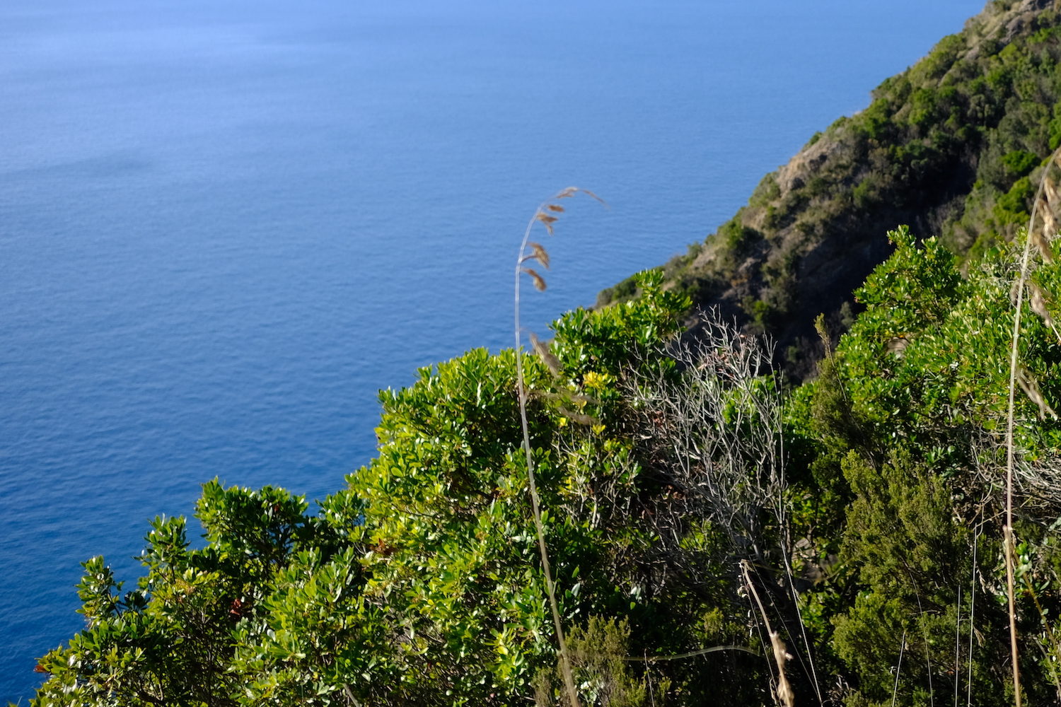
The meeting point with the talented Park guide was the churchyard of San Rocco di Camogli, a characteristic hamlet at 200mt. above sea level. It can be reached by car or on foot, along a crêuza that crosses a quiet rural environment starting from the Carabinieri station in Camogli, after leaving the car in the city parking lot.
After the briefing we continued towards Batterie, so called because there are the well-preserved remains of the bunkers built during the Second World War for the defensive purpose of the port of Genoa.
The bunkers housed anti-ship guns and a precision rangefinder, but fortunately they were never used, and consequently bombed by the allied air force.
It is in this area that the wonderful path of the Bacio pass, and the Path of the Tubes start, of which we will not precisely indicate the starting point since it is possible to travel it only with a guide of the promontory, as described at the beginning of the article.
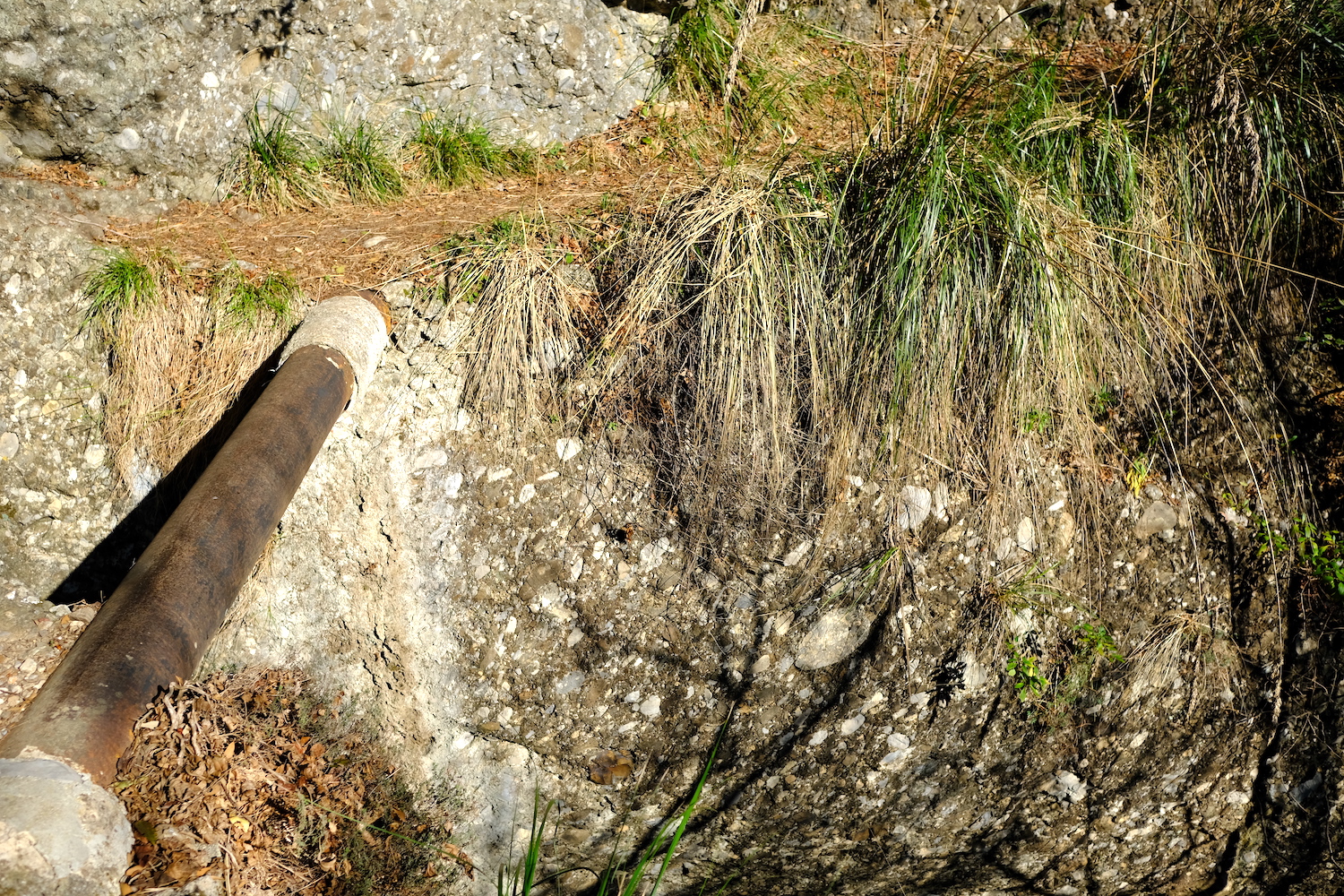
The path follows the incredible path of the nineteenth-century aqueduct that was used to bring drinking water from the source in Caselle to the thirsty Camogli, without the aid of hydraulic pumps. This pipe route was studied and designed in this context because the promontory is very rich in water carried by the clouds that often gather on the Portofino Mountain.
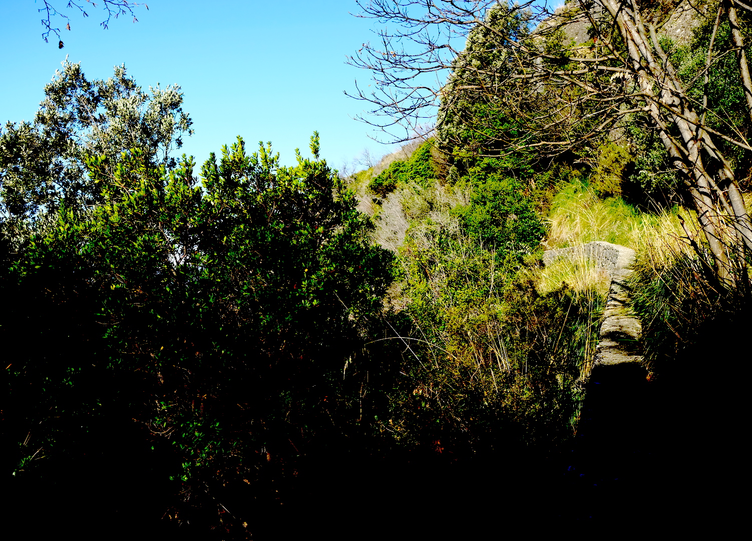
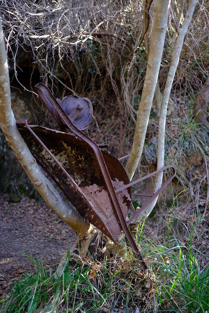
The via del Tubi ideally runs along a more internal parallel to the via del Bacio, with the pipes carried by hand and the tunnels dug entirely with pickaxes, with great sweat and effort.
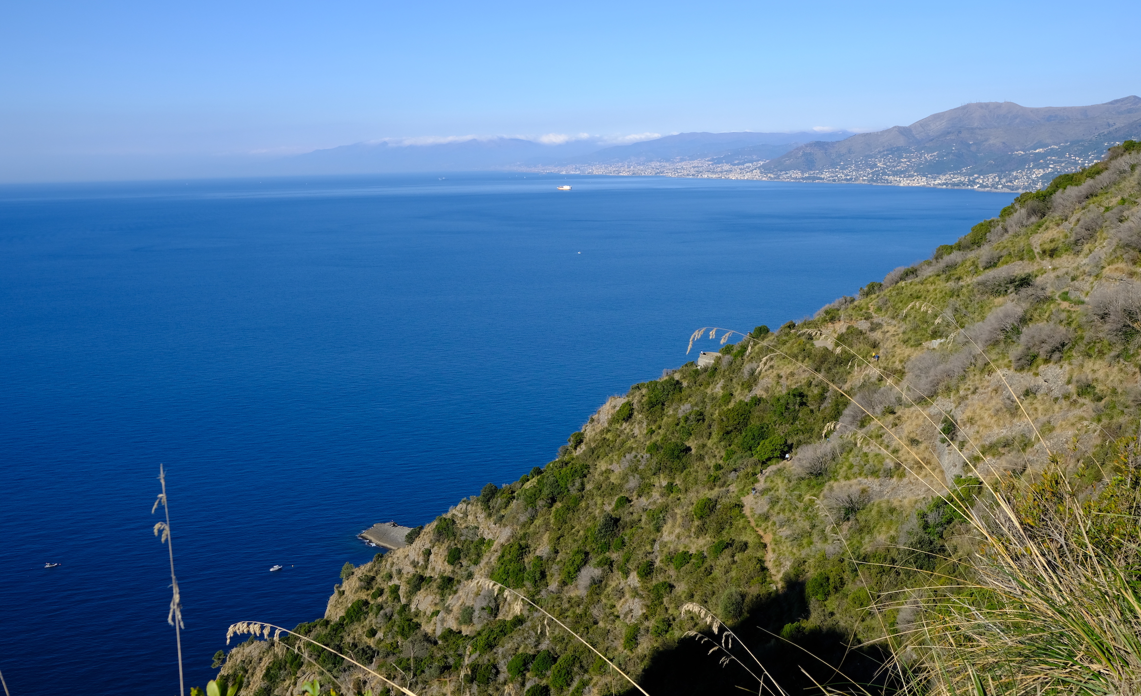
Just by walking through the first of these tunnels you enter the Via dei Tubi: a dizzying and exciting path, full of breathtaking views of the sea, immersed in the most complete silence and in the Mediterranean scrub, while surrounded by vertiginous walls of conglomerate, rock that resists the continuous erosion of the elements.
At the beginning of the route, it is possible to make a small detour to reach Mount Campana, the giant that dominates the western part of the promontory.
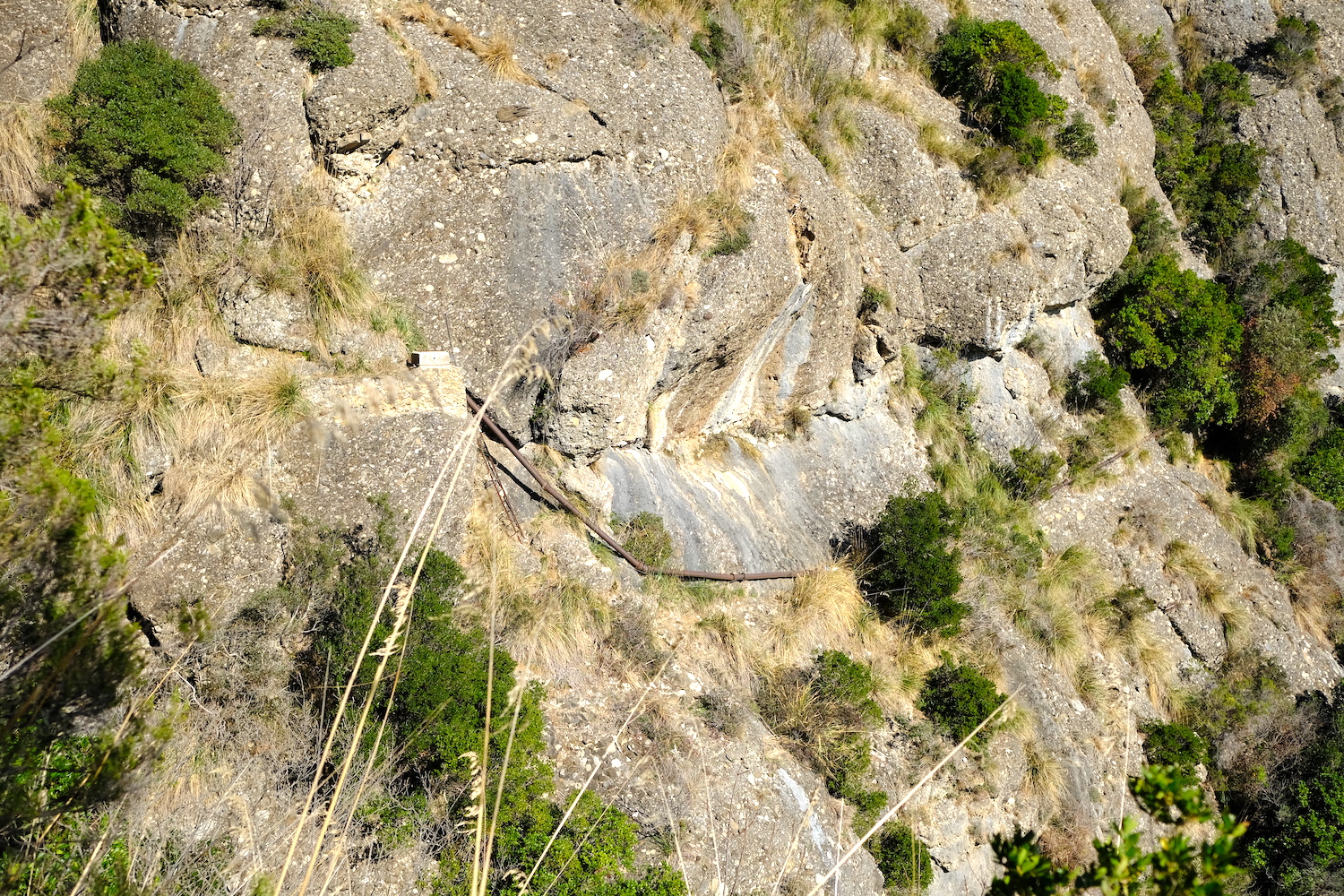
Via dei Tubi was fun, with the most critical points equipped with ladders and chains running along the narrow ledge on which the ancient aqueduct flows. Along the way you will often find the resistant bone-bone plant, a grass once used to weave fishermen's nets. Some of the passages were wet, and if you are lucky you can hear the call of a few toads.
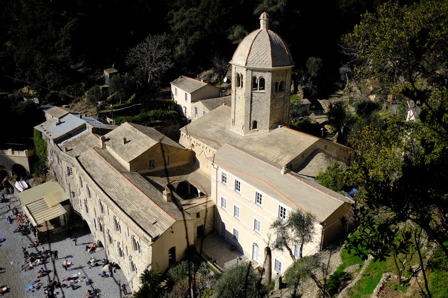
The aerial route ends near the Molini agritourism refuge, in a Mediterranean environment consisting of holm oak, pine, thyme, mastic and strawberry tree.
Once arrived here it is possible to go down to San Fruttuoso where there is the millenary abbey, continue towards Portofino or go back to Camogli passing through Pietre Strette.
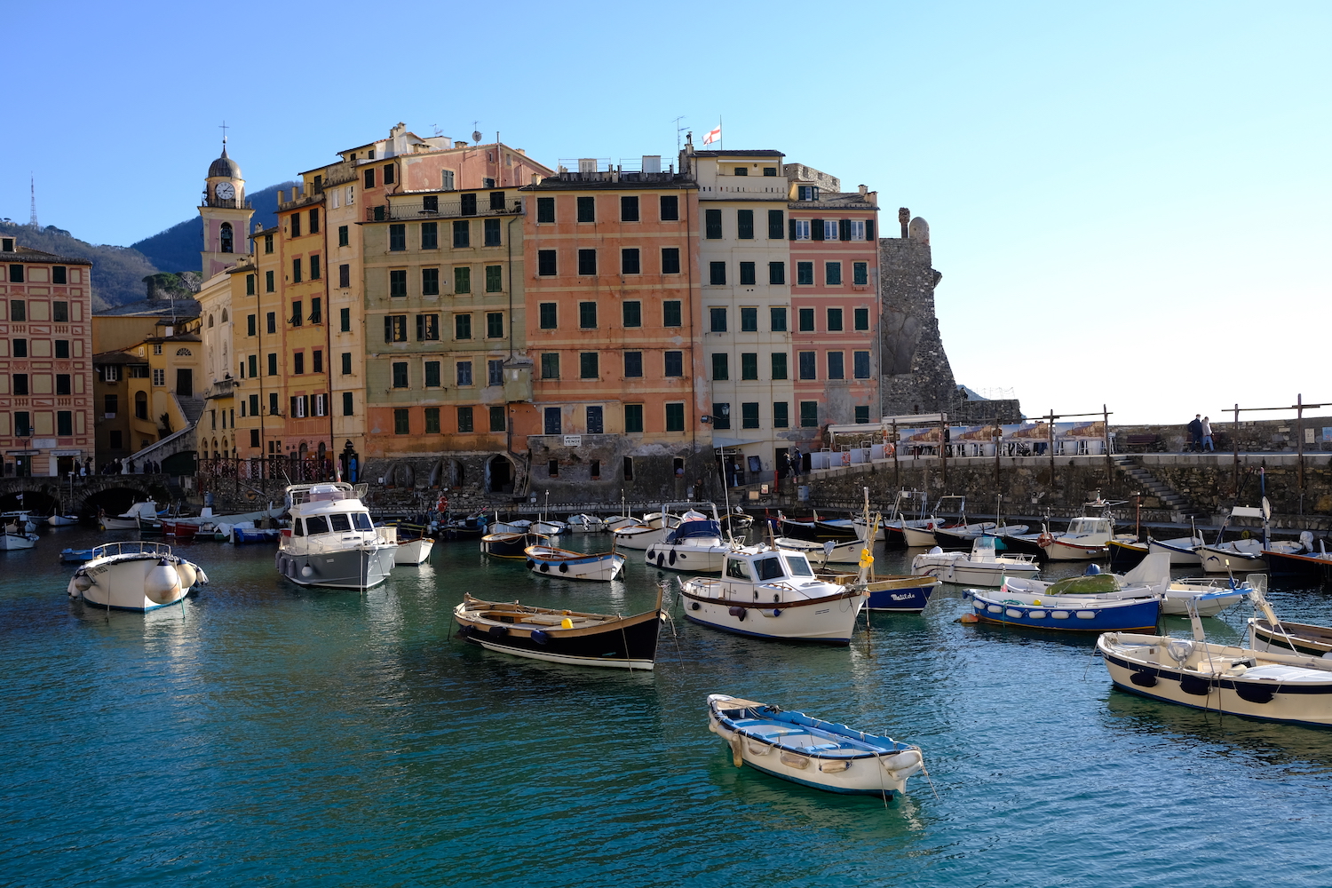
That's all! If you like this text or have any question, leave a comment below.


Comments powered by CComment