Path lenght:
Camogli
Abbey of San Fruttuoso
7 Km
600 mt one way
Expert
No, possible return by ferry
March
And they threw themselves
to disappear forever
in that vertiginous spot
overlooking the sea.
THE LAST KISS
Path lenght: 7 km.
The last Kiss
We share the coordinates:
44.346982, 9.156903
(Copy and paste in Google Maps search label)
Alternative Itinerary
Departure = Camogli car park
Arrival = Abbey of San Fruttuoso di Camogli. Return to Camogli via Pietre Strette
Overall height difference = 1200mt.
Difficulty = Expert
Overall length = 15 km.
Round trip = Yes
Useful info:
The route is to be avoided in the summer season due to the heat.
Attention! The path is reserved for expert hikers only for the stretch that must be tackled after the batteries: it is equipped with chains for very high exposure, dangerous for those who do not have a sure footing and suffer from vertigo.
Do not tackle paths if you are not sure: from the batteries it is possible to go up to the Semaforo Nuovo, from which you can reach the abbey of San Fruttuoso with a much simpler route.
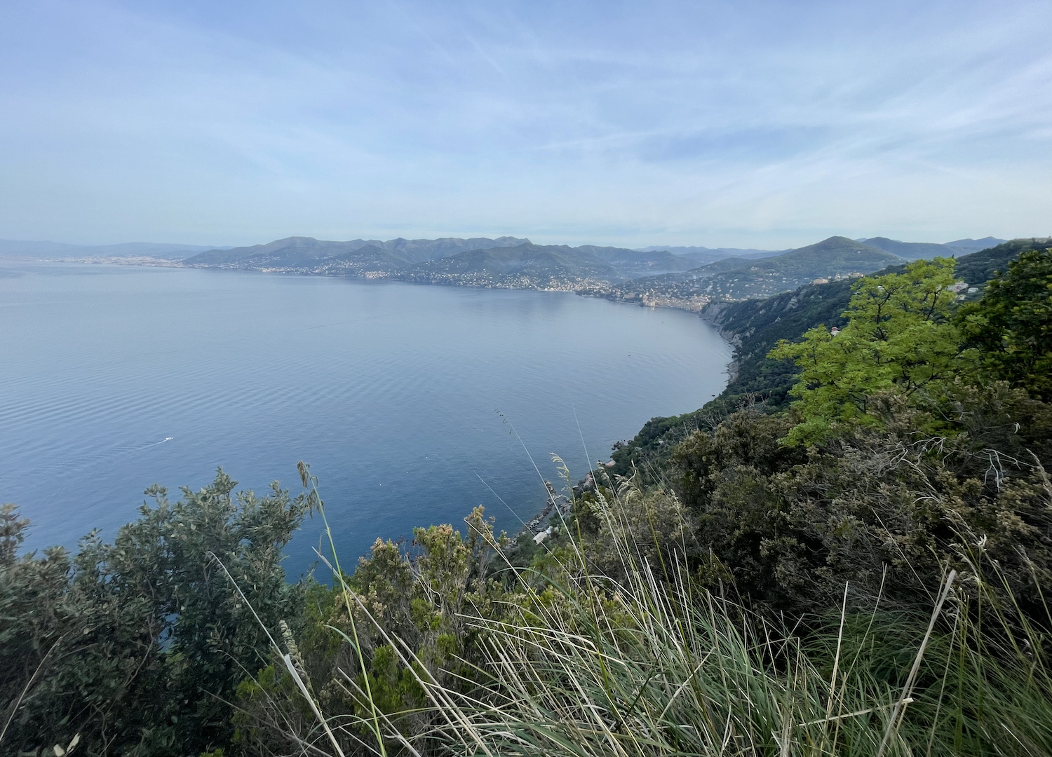
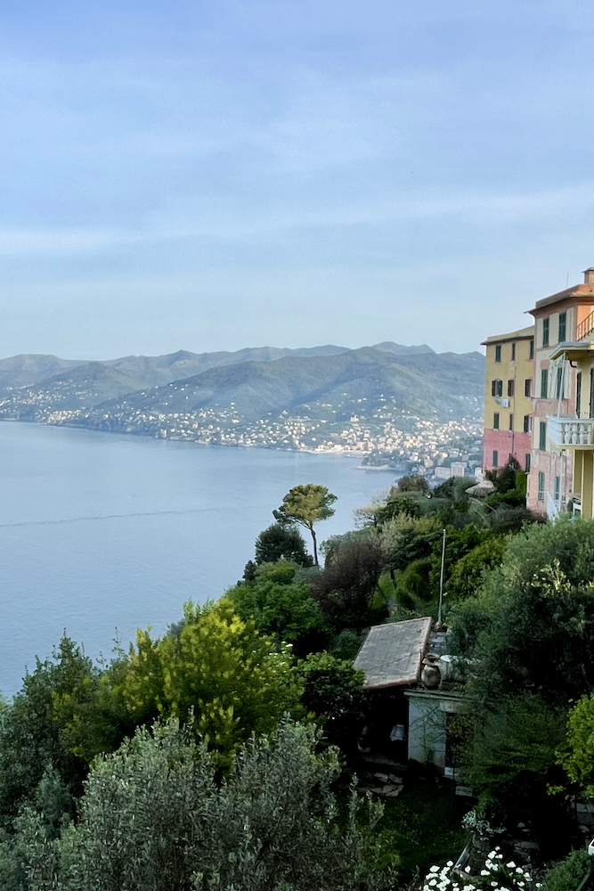
It is said that once two young lovers gave each other a kiss and threw themselves into the sea from a very steep wall, the last gesture against the family egoism that opposed their union: that point overlooking the sea thus took the name of the pass of the Kiss, traveled today by one of the most spectacular trails in all of Liguria, which we will deal with in this article.
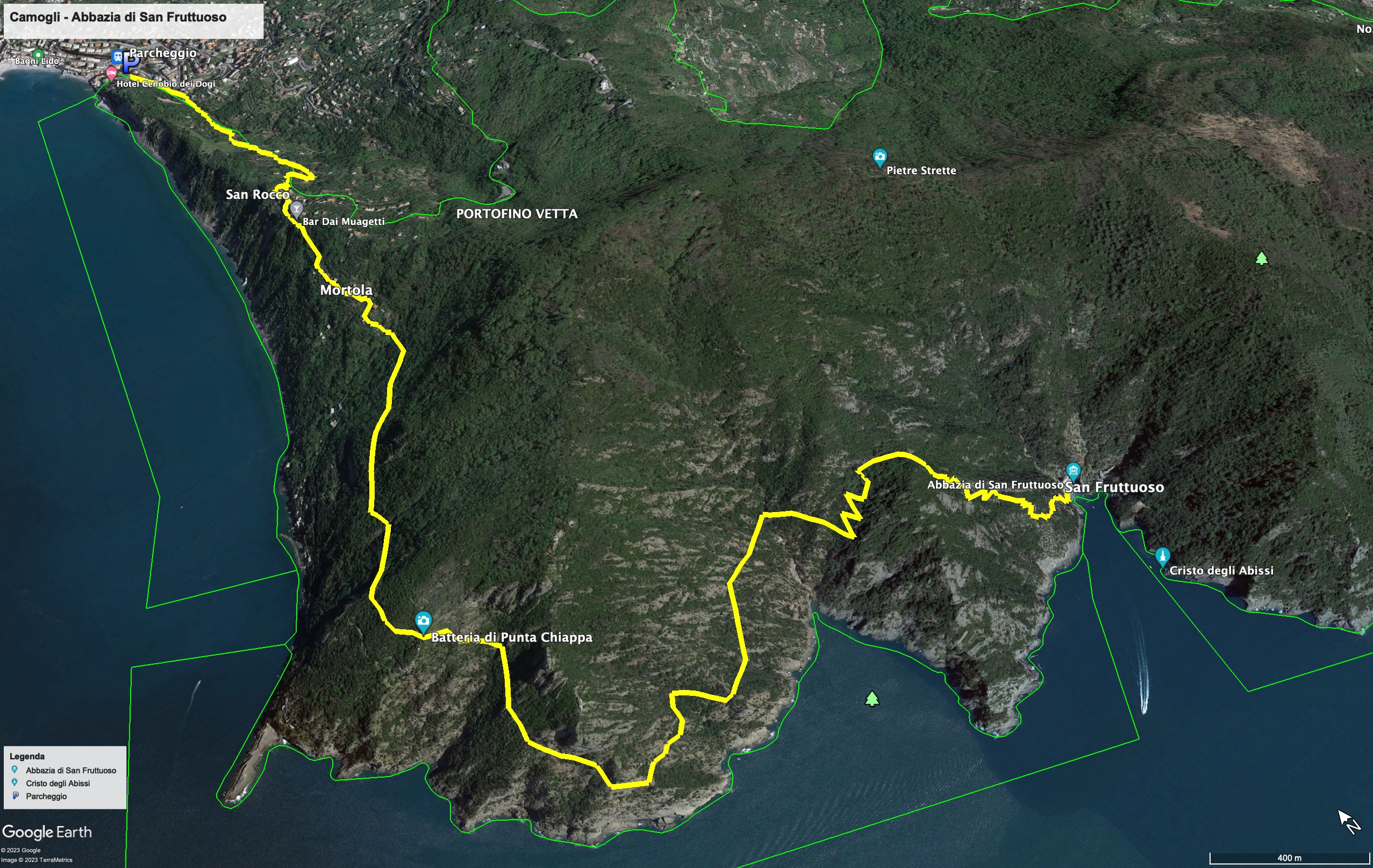
The starting point of this excursion that will take your breath away (both for the commitment and for the majestic landscape) starts from the Carabinieri station of Camogli, from which the crêuza, the typical Ligurian lane, which reaches quickly (and steeply) the hamlet of San Rocco di Camogli, where you can enjoy a splendid view of the sea.
From the parish of San Rocco we passed the settlements of Poggio and Mortola, and arrived in the locality of Fornelli (so called because once coal was prepared), leaving out the staircase that leads to the suggestive Punta Chiappa (flat). San Rocco is affected by landslides caused by the continuous erosion of the sea, and this is visible above all in the walls of an old elementary school that you meet along the way; for this reason, during the past decades, steps have been taken to reinforce the shoulder of the cliff that flows directly into the sea, which is very visible from Batterie. Here we encountered the remains of bunkers dating back to the Second World War, which fortunately were not affected by the violence of the conflict.
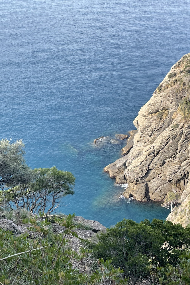
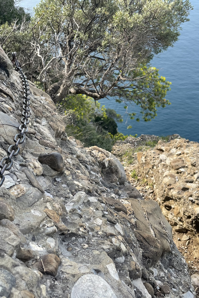
The panorama was sublime, with the Mediterranean scrub that emerged between the cliffs and the first rocky overhangs.
From the bunkers begins the most demanding stretch of the whole day, which as mentioned before is reserved exclusively for walkers who do not suffer from vertigo.
The path does not present physical commitment like a via ferrata, but you must be aware that it is always an exposed stretch overlooking the sea, comparable to the paths that you meet in the high mountains: be careful and dress appropriately!
This stretch gave us back the most memorable glimpses of the day: on the right the infinite blue that joined the sky, and on the left the dizzying towers and the conglomerate cliff. We were immersed in the intoxicating scent of the Mediterranean scrub, warmed by the warm sun of early spring.
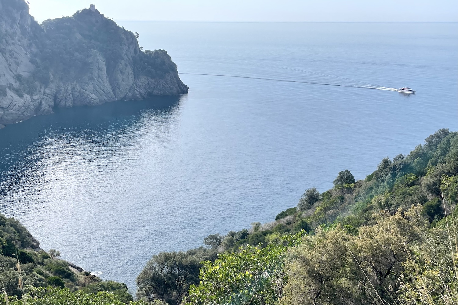
Once you reached the Bacio pass, the breathtaking view of Cala dell’Oro and Punta Torretta paid off all the efforts.
The path on the ledge overlooking the sea continues for a few hundred meters in a spectacular setting, after which it returns to the wood and laboriously climbs towards the interior of the promontory, reaching Costa del Termine, a watershed which also reaches the side of San Fruttuoso.
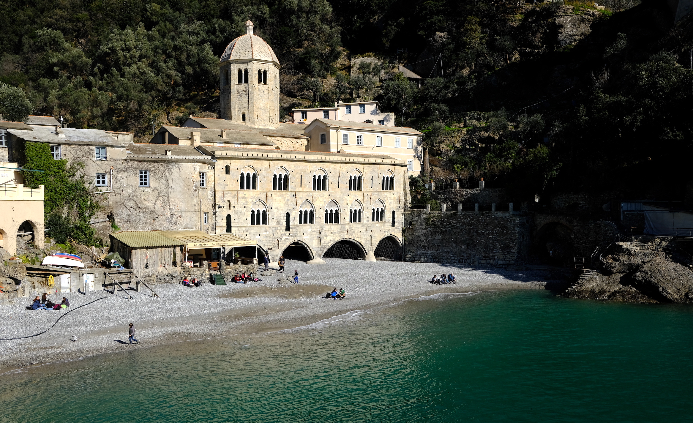
Going through the hairpin bends of this steep slope, an ancient religious complex begins to emerge, which appears to be beautifully set in the landscape of the impervious place, a few steps from the turquoise sea of the Ligurian Levant: the abbey of San Fruttuoso.
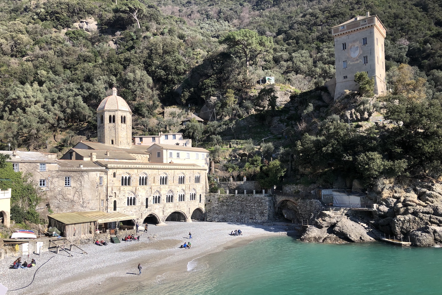
This isolated human corner was built near a source of water by Prospero of Tarragona in the eighth century AD, a bishop fleeing the Arab conquest of Spain. According to tradition, he chose this place because San Fruttuoso appeared to him in a dream, indicating the new position where to keep his holy relics.
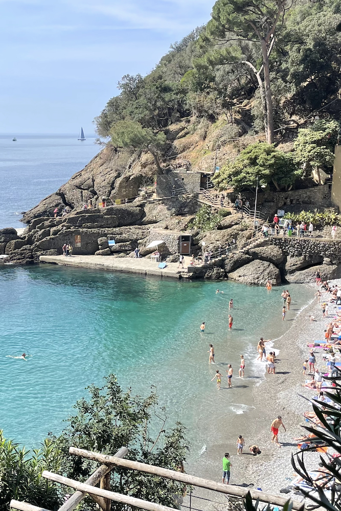
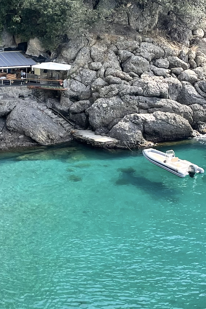
The abbey was enlarged by the Dorias, once the governors of the Maritime Republic of Genoa, who chose it as a burial place.
Today this place of peace, immersed in the Mediterranean scrub and surrounded by terraced olive trees, is entrusted to the attentive care of Fai , while the bay in front houses the bronze statue of Christ of the Abyss, 17 meters deep, the famous site of scuba diving. The statue was commissioned by Duilio Marcante after the death of his friend Dario Gonzatti during a dive. Copy of the statue is visible in the church of San Fruttuoso.
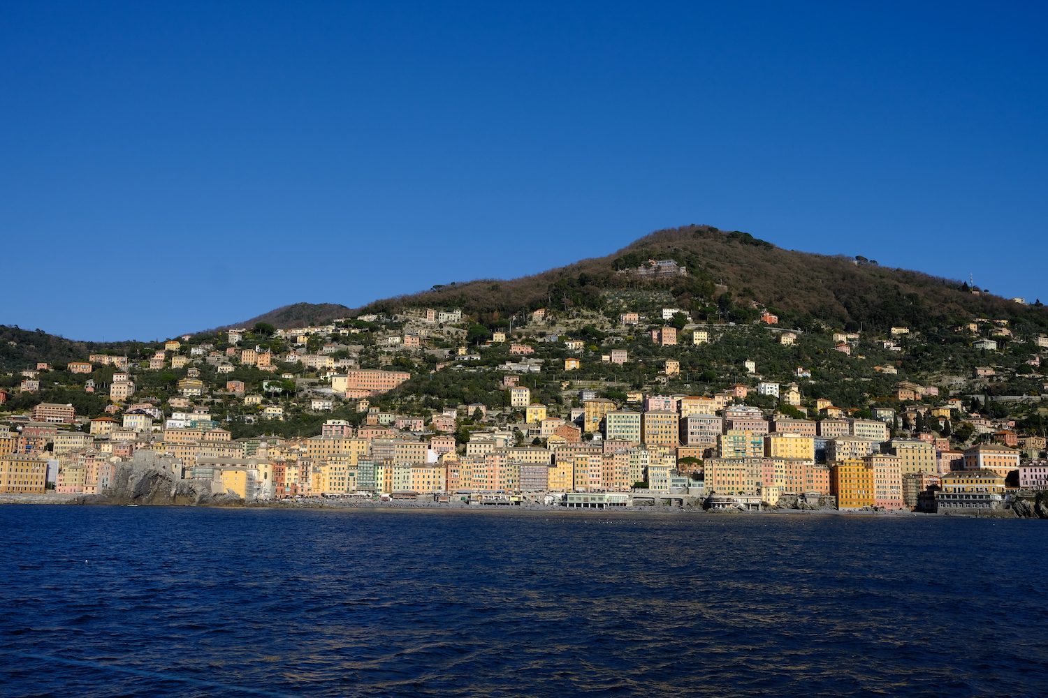
At this point the trip can be said to be over if after lunch you take the ferry back to the port of Camogli (see timetables here)
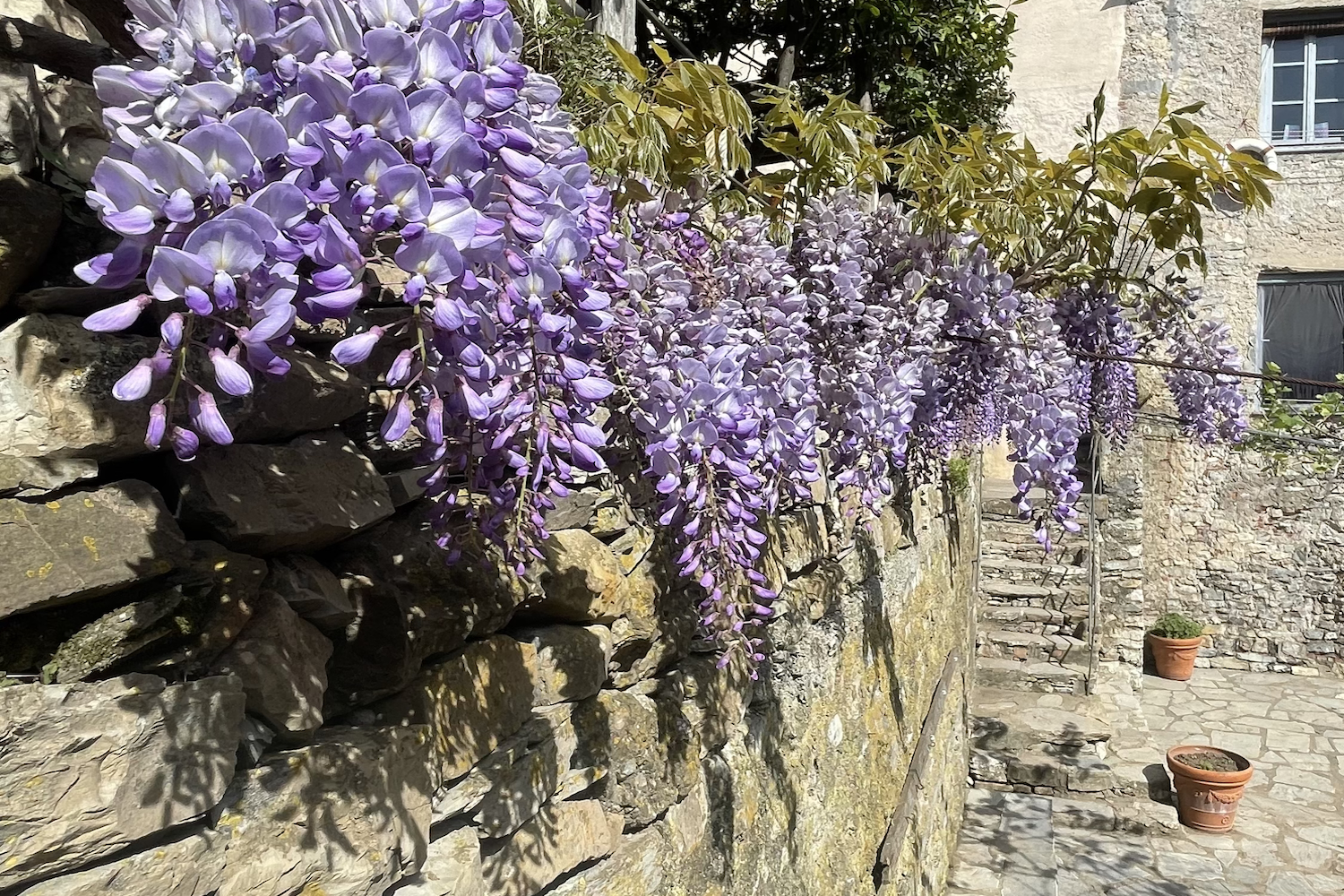
If, on the other hand, you still have energy and want to close the ring, after having refreshed yourself on the beach, take the mule track behind the abbey, which proceeds uphill first crossing the terraces and then the woods, arriving at the agri-refuge in Molini, from which you will enjoy another enchanting glimpse.
So then we followed the signs for Pietre Strette, an important crossroads of paths (described here link), and then we continued to Gaixella, where there is the deviation that would have led us back to San Rocco di Camogli, through a dense Apennine forest.
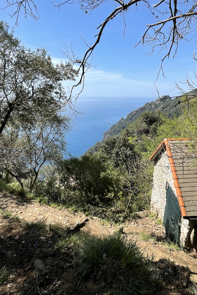
Trekking Map
That's all! If you like this text or have any question, leave a comment below.


Comments powered by CComment