Path lenght:
Prea (CN)
Baita Elica
12 Km
650 mt
Medium
No
December
As this 2022 draws to a close, the decisive snowfall had suggested pushing into the Cuneo area
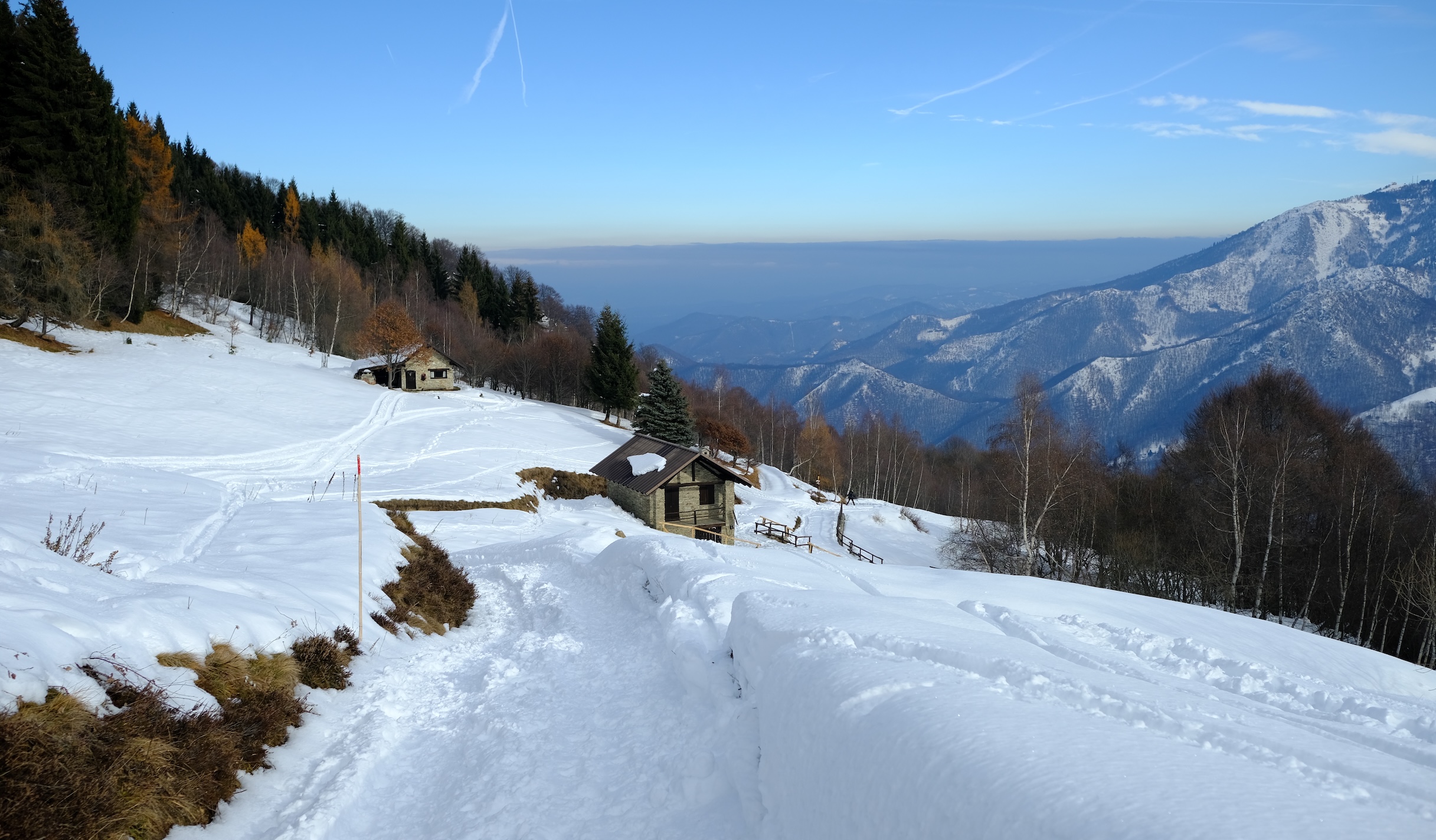
THE FIRST SNOW AT THE BAITA ELICA
Path lenght: 12 km.
Trekking date: december
The first snow at the Elica hut
We share the coordinates:
44.277476, 7.737518
(Copy and paste in Google Maps search label).
Useful information:
This easy excursion starts from Prea, a small hamlet of Roccaforte Mondovì, in the quiet Ellero valley.
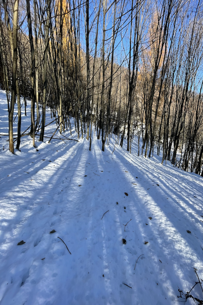
As a precaution we rented snowshoes, but we only used them in the final part, because the path was already quite well-trodden.
In Sant'Anna di Prea there is a water source. To have lunch at Baita Elica it is best to book in advance.
Description
The first snow always makes you want to put your boots on and walk on it.
That soft, white coat is indispensable for us, because it gives us a pleasant sensation, making us feel like children again.
As 2022 comes to an end, the heavy snowfalls of the week had suggested moving into the Cuneo area, near Lurisia, a totally new territory for us.
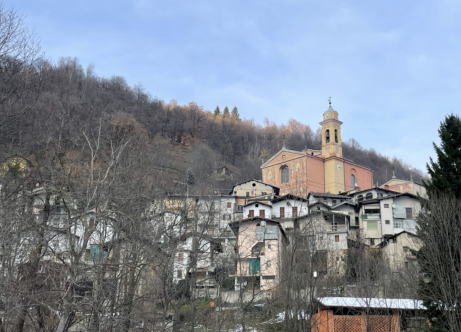
Before reaching Prea, the starting point of the trip, we rented snowshoes in the nearby Rastello ski lift station, which belongs to the Prato Nevoso area. We recommend calling the rental office to check availability and opening hours.
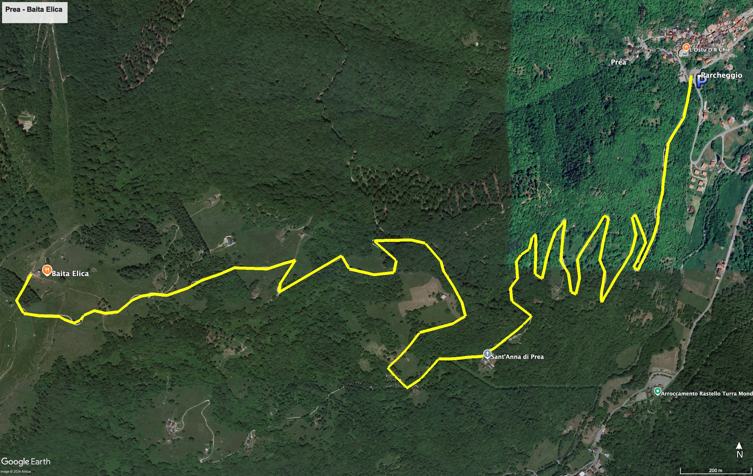
The first stretch of this excursion, from the hamlet of Prea to the church of Sant'Anna, takes place on an asphalt road almost completely covered in snow. After a few hairpin bends you reach the small sanctuary, the only example of French Baroque in all of Piedmont.
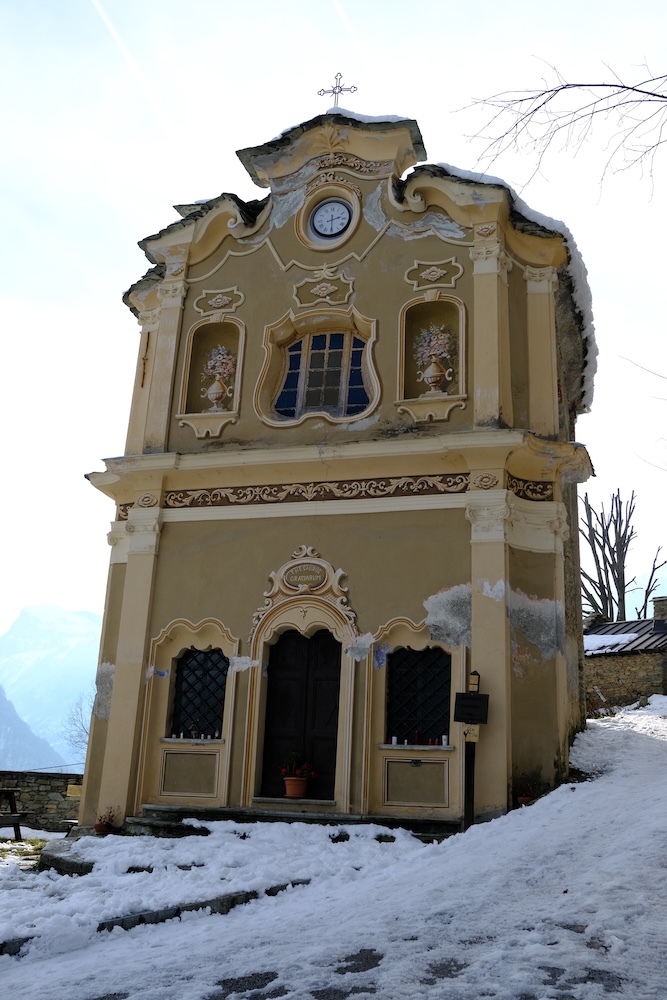
From the sanctuary, continue following the road on the right, still "fairly asphalted" until the next crossroads, at which you must turn right again.
At this point you enter a very suggestive wooded area.
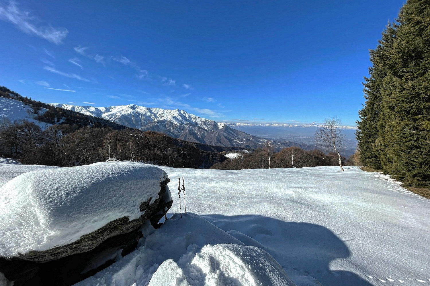
After passing the woods, you reach the last stretch of the path and finally Baita Elica, where fairytale scenarios open up that allow you to see a good portion of the mountains that slope down towards the Po Valley.
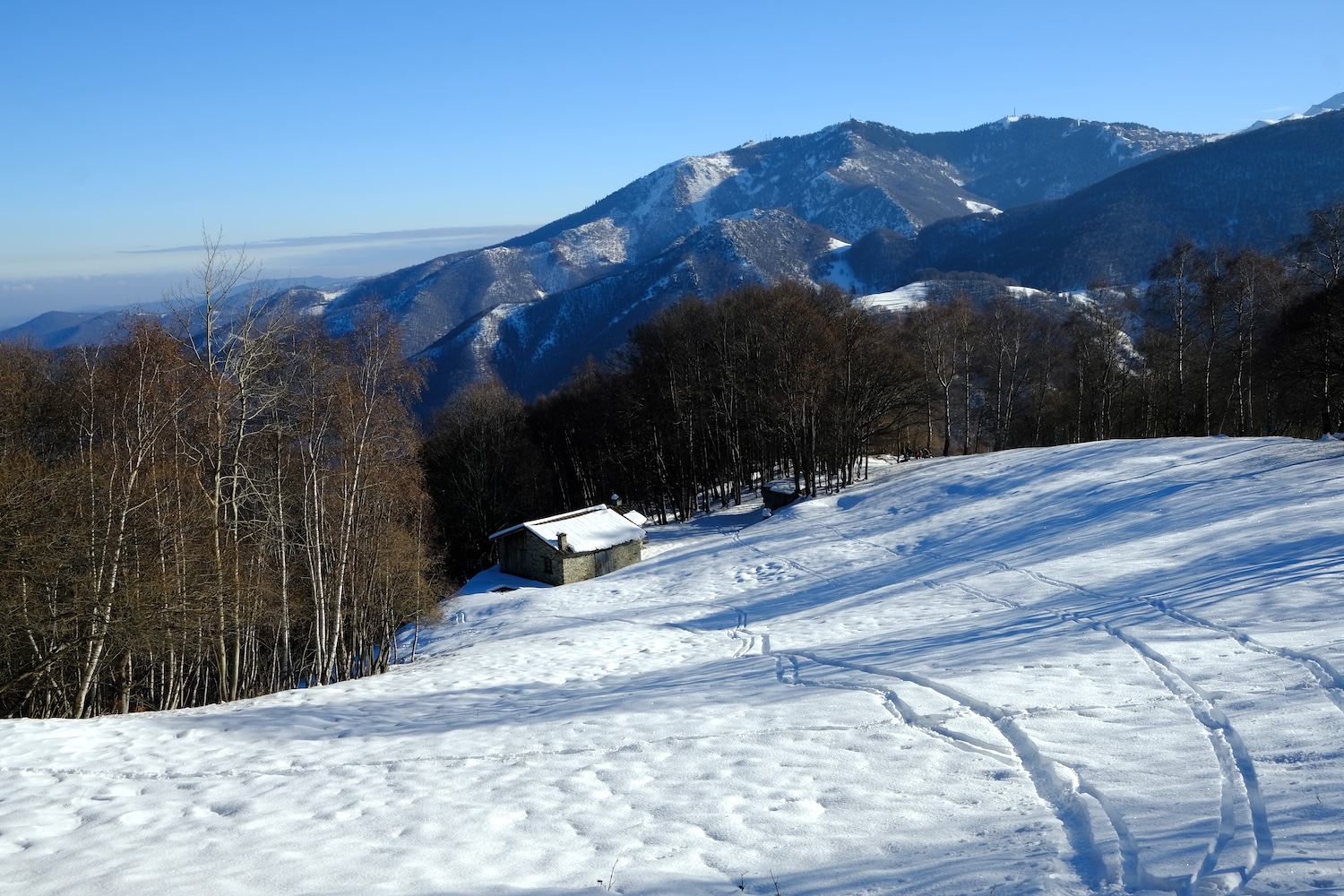
The more than half a meter of fresh snow did not allow us to continue towards Mount Pigna, so we abandoned ourselves to relaxation while enjoying the delicious lunch booked in advance at the Baita.
The return journey is the same as the outward journey.
Trekking Map.
That's all! If you like this text or have any question, leave a comment below.


Comments powered by CComment