Path lenght:
Ranger Station, Sassello
Salmaceto Pass
13 Km
300 mt
Easy
Yes
April
An edge
of peace,
a relaxing
trek
for all.
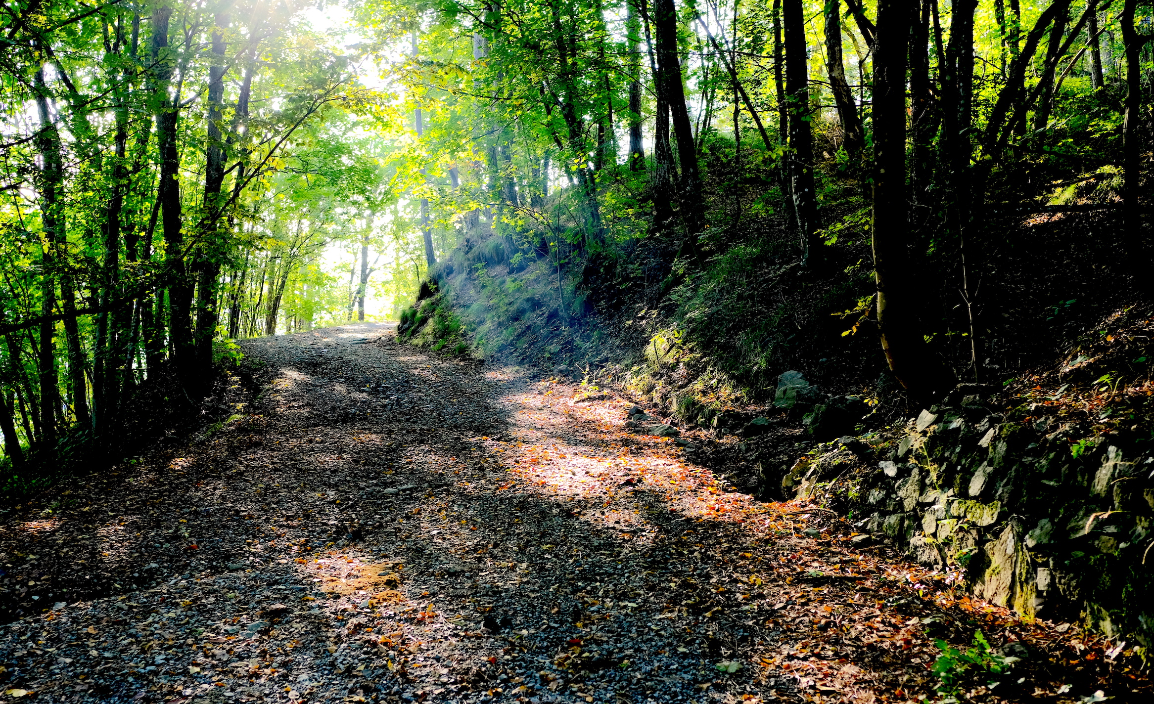
THE DEIVA FOREST
Path lenght: 13 km.
The Deiva forest
We share the coordinates:
44.477063, 8.483965
(Copy and paste in Google Maps search label)
The Deiva forest is one of those areas that deserve to be explored by trying different paths each time, to discover all its secrets.
The main entrance to this young forest (reforestation by the state forestry corps should have taken place about 60 years ago, history link ) is in Sassello. After traveling along the Provincial Road SV334, we turned left when we saw the sign that read "Forest of Deiva", after which we parked the car near a confectionery company that produces the famous macaroons.
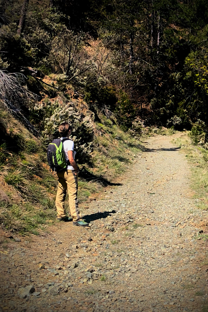
The path (a carriage road) starts near the headquarters of the Forestry Corps, which you meet after crossing the bridge over the Erro stream, and starts immediately uphill.
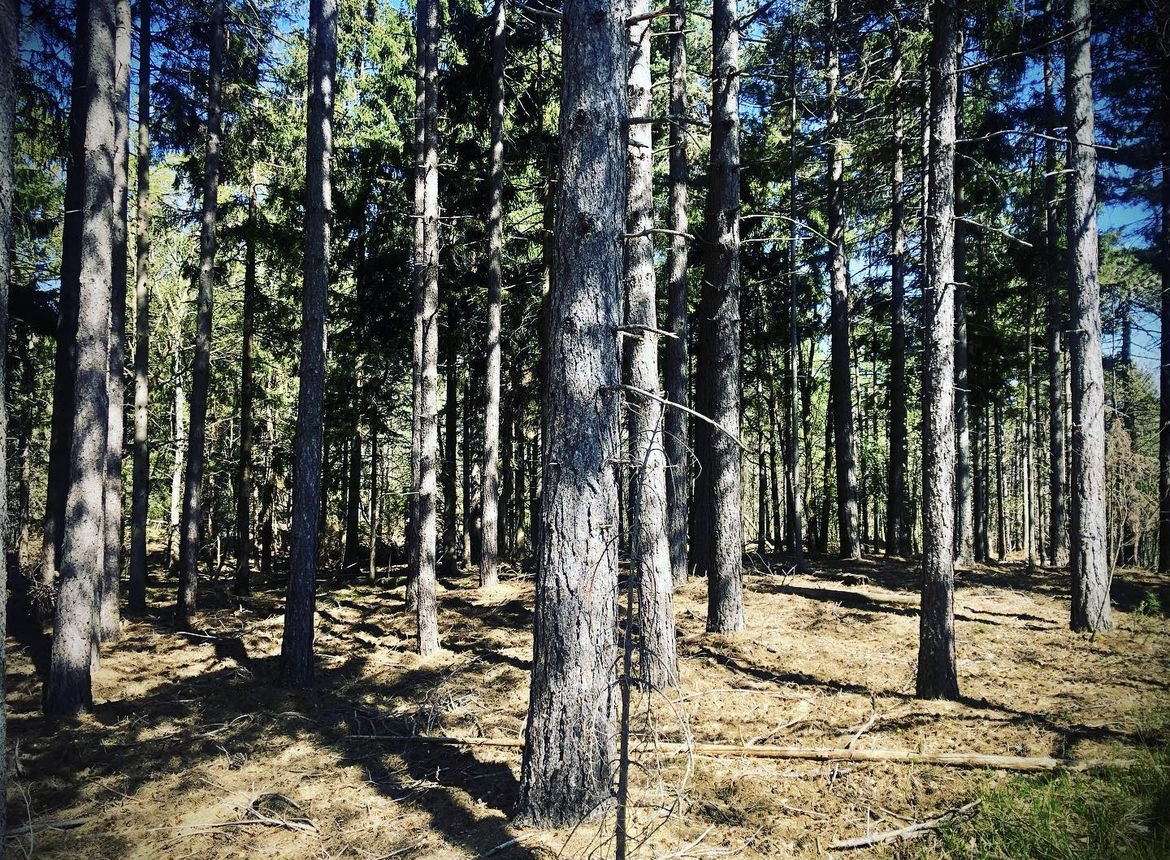
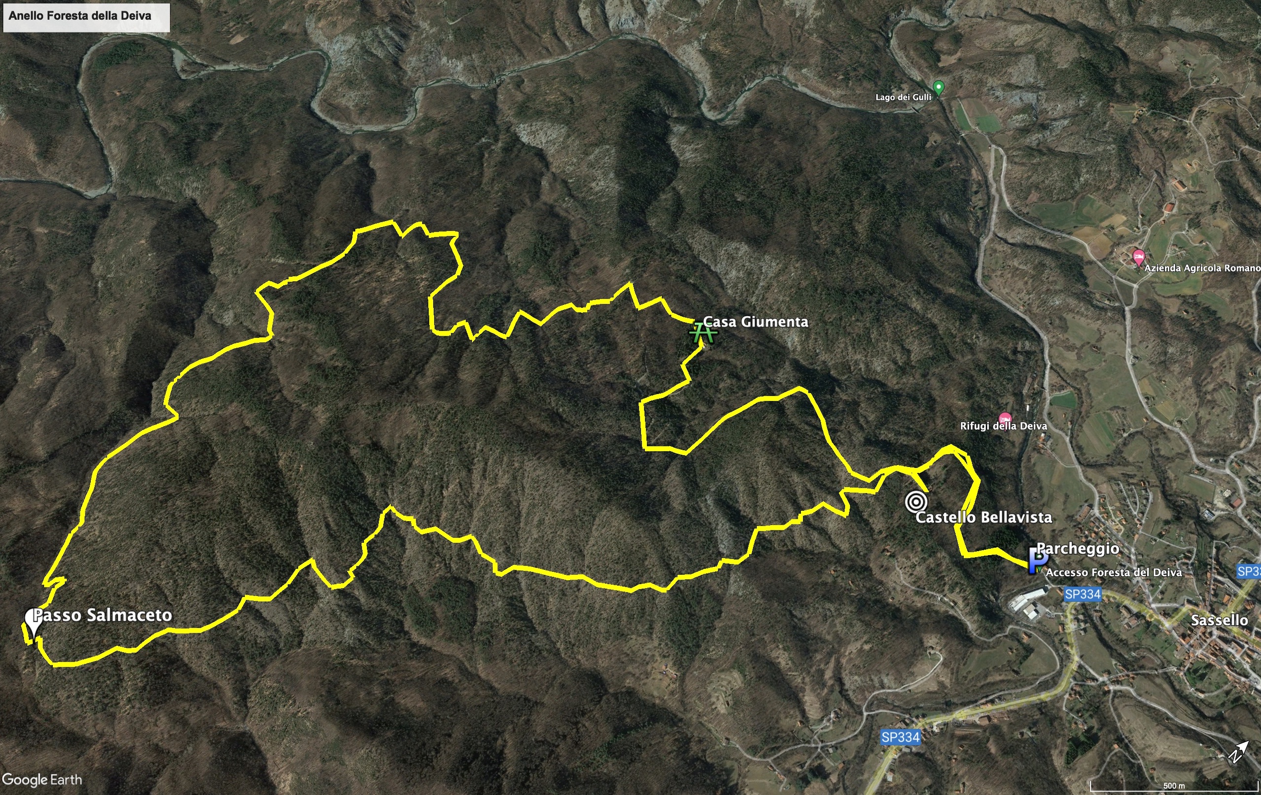
Walking on the easy ring path (but with a total length of 13 km) we faced environments with very varied vegetation: the Bellavista castle and the area of Casa Giumenta are covered with woods where it is not difficult to meet some roe deer, while the part of path that from Passo Salmaceto returns to the castle has a more sporadic vegetation due to the large concentration of magnesium present in the soil, which is toxic to plants.
A spectacular area that deserves a visit is the one where the Erro forms the lake of the Gulli (fish, in dialect), frequented by bathers in the summer.
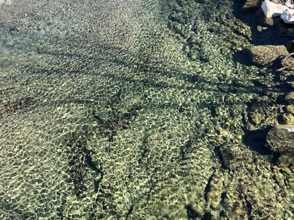
We visited this area a few months after the great flood of 2021, when 800 mm of rain had fallen in 24 hours: the bridge was missing the junctions with the road, and the gravel parking lot had been completely swept away by the flood, with tangles of branches everywhere.
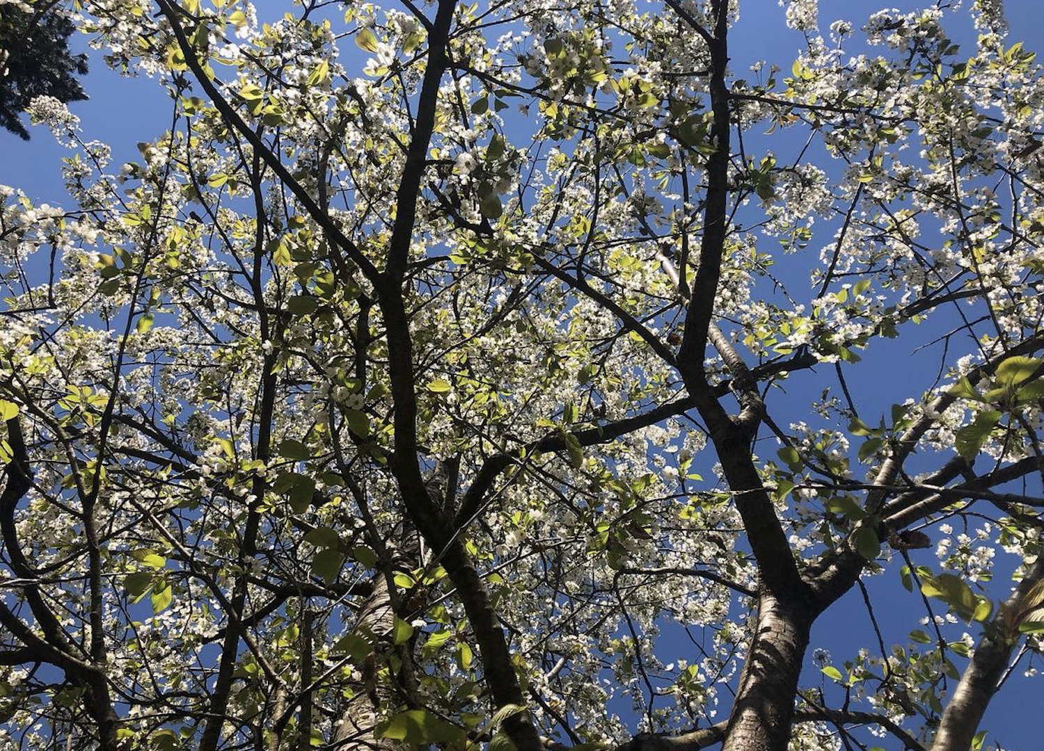
We also walked the paths of the Deiva in early October, in a year when autumn was struggling to emerge, and in April, when nature was awakening and green leaves were sprouting from the trees.
For those who love winter, it could be a nice idea to snowshoe during the Christmas period (snow permitting).
Trekking Map
That's all! If you like this text or have any question, leave a comment below.


Comments powered by CComment