Path lenght:
Tonno, fraction Valbrevenna
Mount Antola
10 Km
1000 mt
Medium
Yes
March
Where
on greens
meadows they
stood popping
up color
crocuses indigo.
THAW
Path lenght: 10 km.
Thaw
We share the coordinates:
44.572508, 9.117486
(Copy and paste in Google Maps search label)
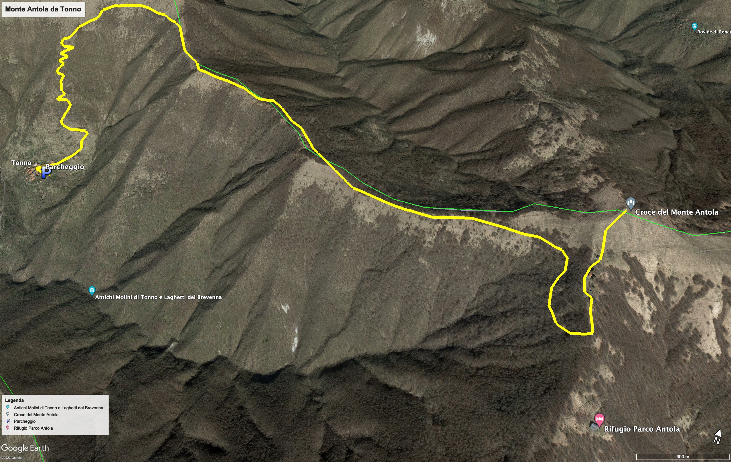
The route of the day begins in Tonno, a pretty town at the foot of Monte Buio, which can be reached after about an hour on the road starting from Genoa, driving through the narrow streets of the municipality of Valbrevenna.
Tonno, where the breath of the rural life of the past is still very strong, was illuminated by a spring sun, whose warmth was felt by the yellow primroses that were blooming on green lawns.
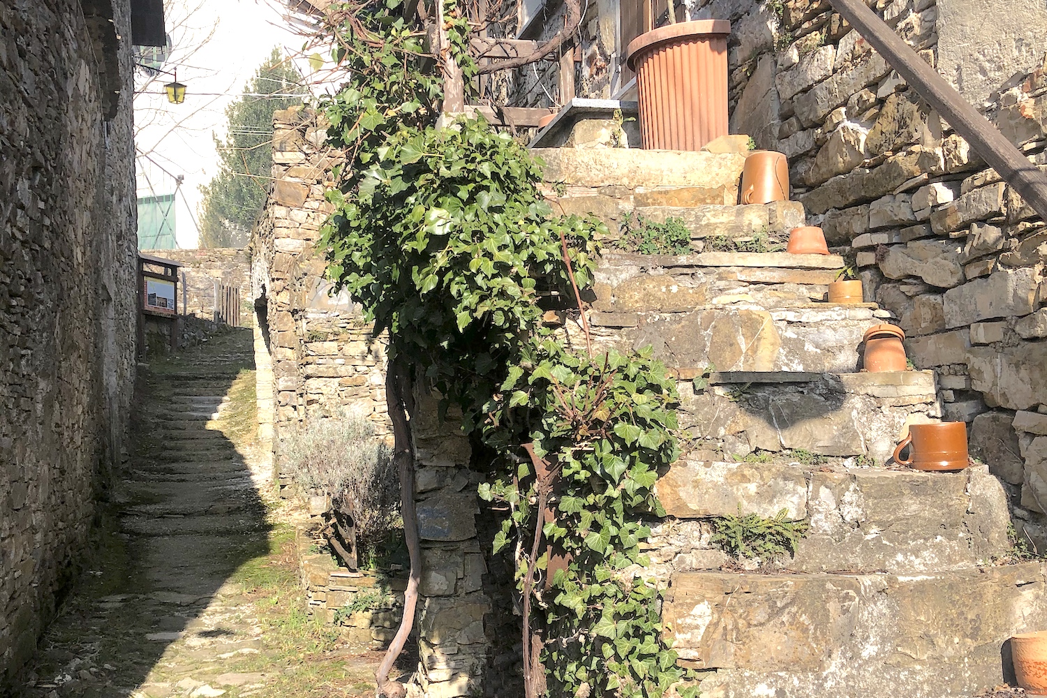
Behind the village there was the ancient mule track that delimited the boundaries of old and uncultivated terraces, and had a trained leg slope that made its way along a hazelnut wood.
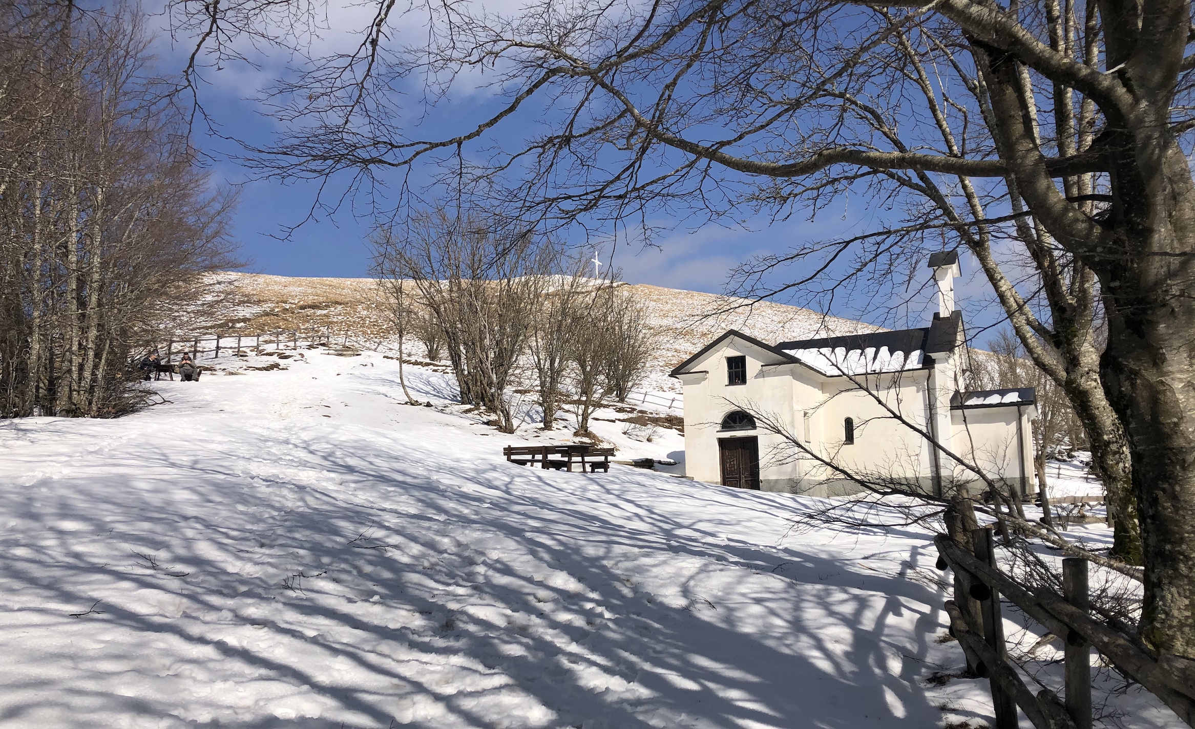
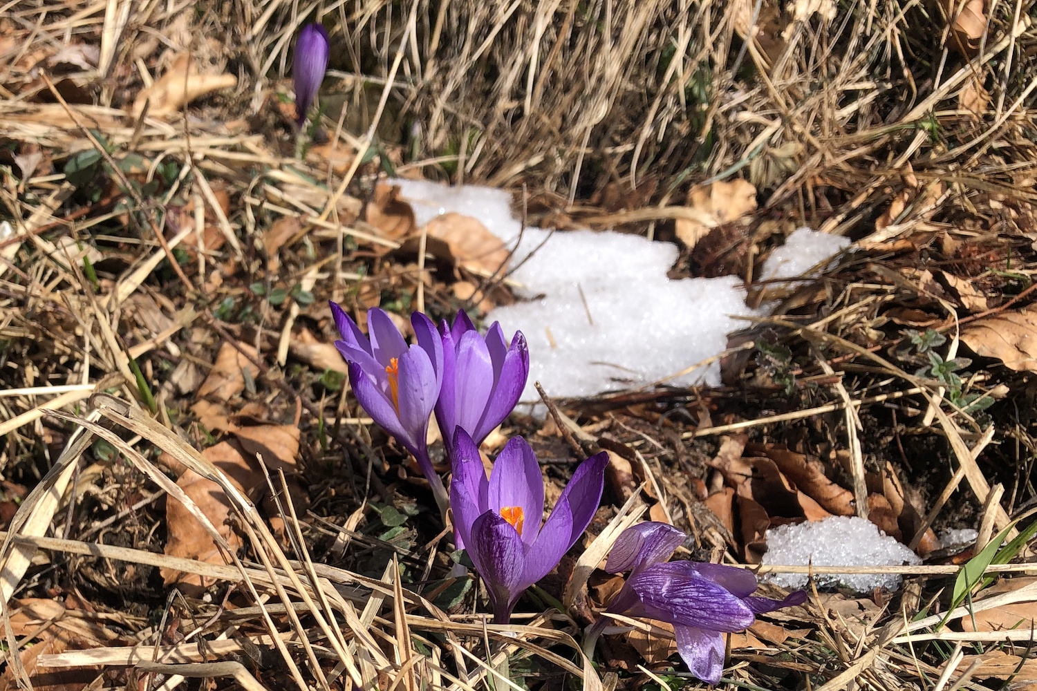
While we were gaining altitude, Tuna was getting smaller and smaller, and once we reached the fork for Monte Buio, we turned right, arriving shortly after at the first clearing full of colorful crocuses with a hut in the center (Tonno hut) from which we enjoys a beautiful view of the whole valley.
After a short stop we left for the goal of the day: the summit of Mount Antola, still with the soft snow that partially protected it.
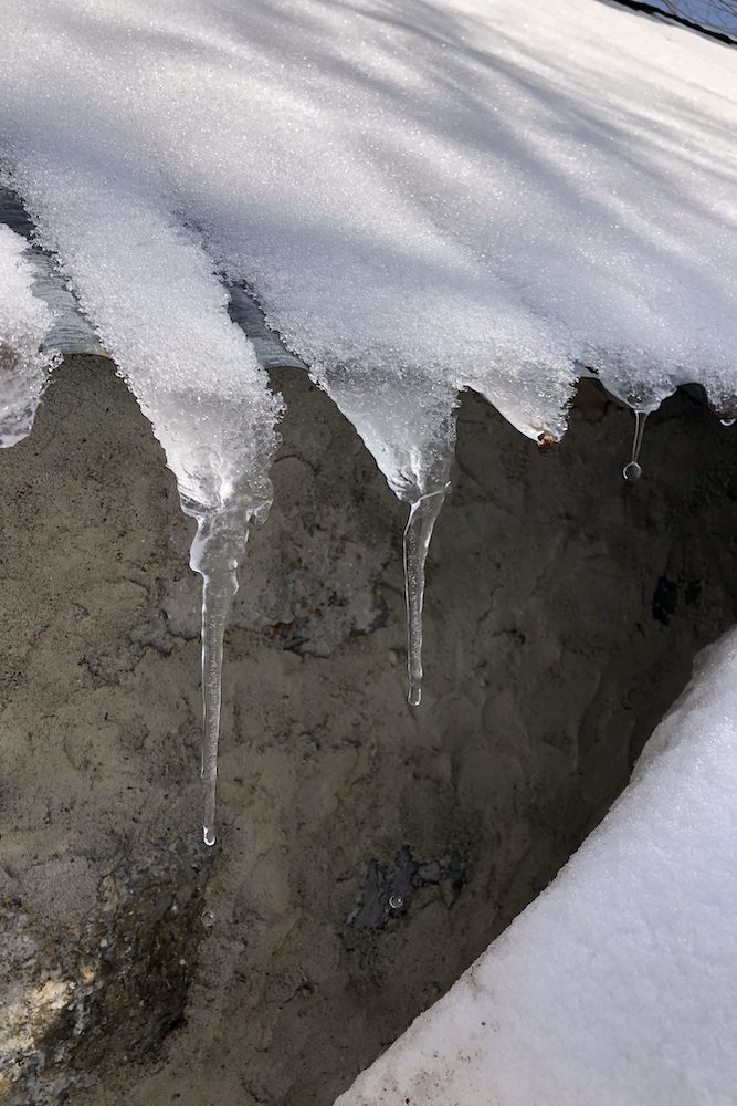
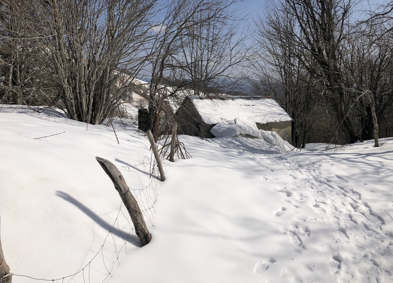
To get there, we crossed a beautiful forest, where the thousand-shaped rime was detaching from the branches due to the warmth of the almost spring sun.
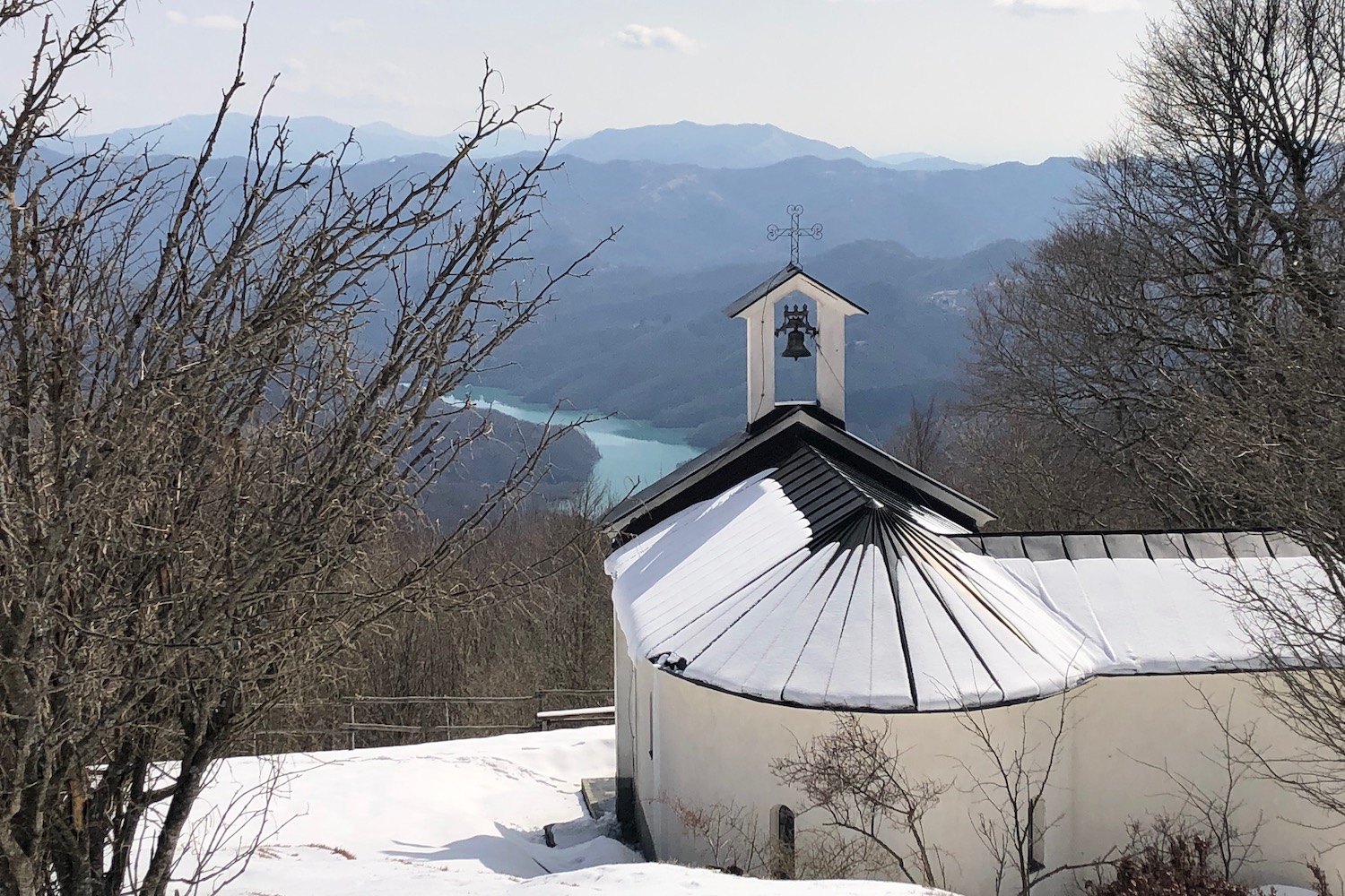
The last stretch still covered with snow was fairytale: before our eyes a kingdom of snow and silence was showing, with an incomparable view of the Brugneto lake, and in the distance, the Tyrrhenian Sea.
Trekking Map
That's all! If you like this text or have any question, leave a comment below.


Comments powered by CComment