Path lenght:
Costa S.Ponente train station
Mount Gazzo
5 Km
350 mt
Medium
Yes
January
A convenient trip (for those of us who live in Genoa) that starts at the Genoa Costa station on the heights of Sestri Ponente.
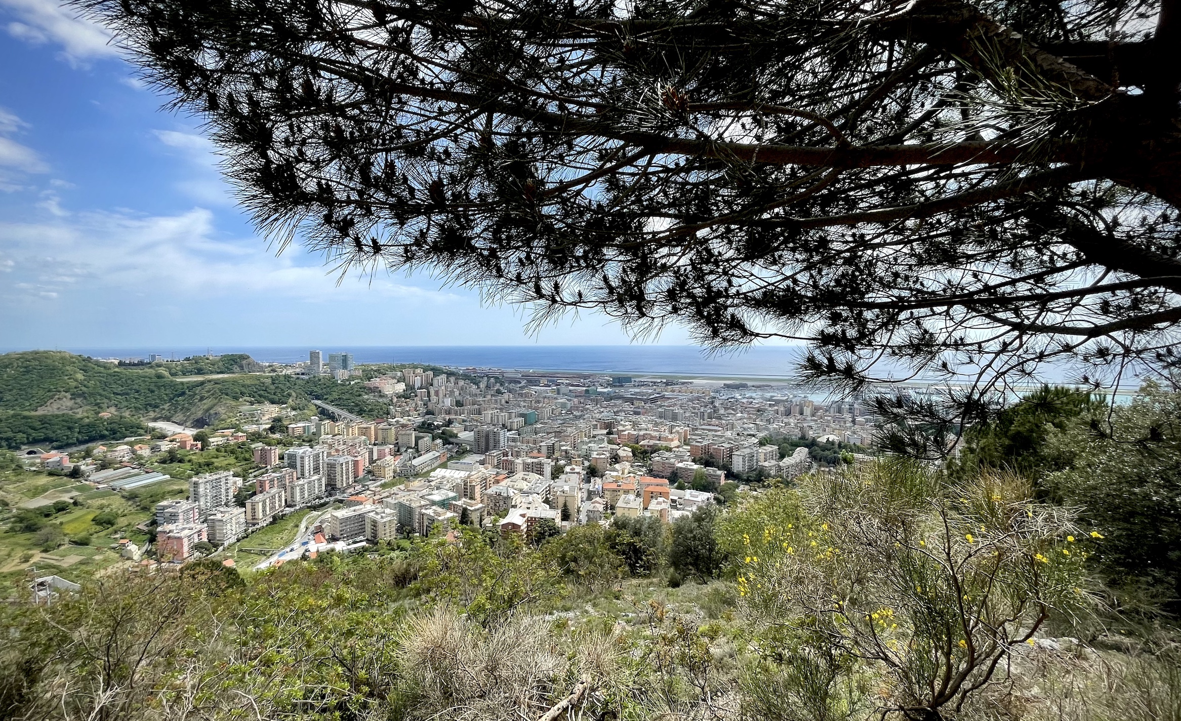
MOUNT GAZZO FROM SESTRI PONENTE
Path lenght: 5 km.
Mount Gazzo from Sestri Ponente
We share the coordinates:
44.433892, 8.847019
(Copy and paste in Google Maps search label)
Useful info:
An excursion suitable for everyone and with glimpses of the Superba from an unusual perspective, to be covered ideally between October and May. The first part of the route is on a path, while the second on a track: we recommend using this second section also as an outward journey for those who are not very fit.
At the top, adjacent to the sanctuary with the giant statue of the Madonna, there is a drinking water fountain.
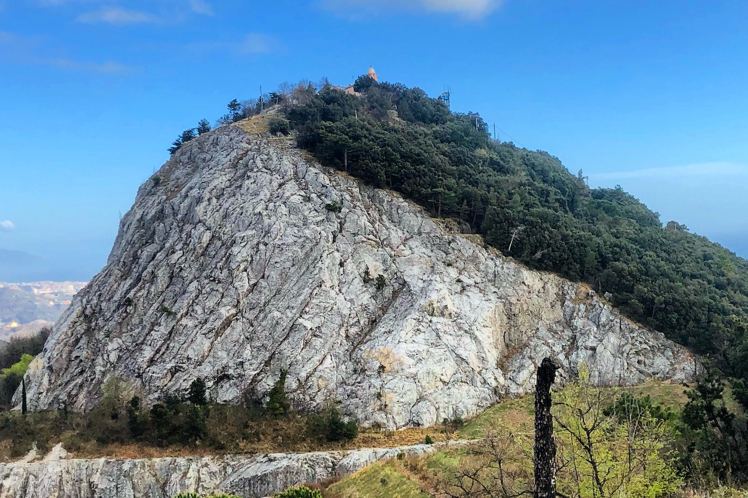
Today we offer a comfortable trip (for those like us who live in Genoa) which departs from the Genova Costa station, on the heights of Sestri Ponente.
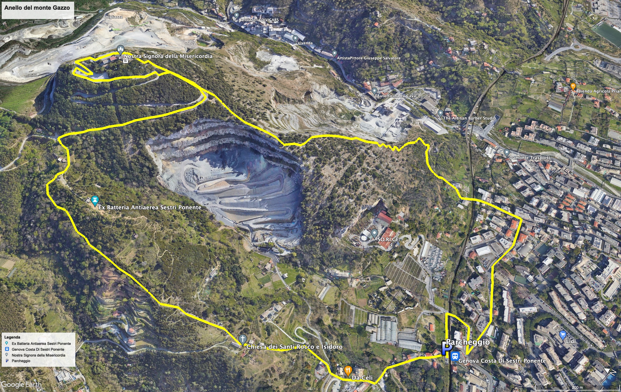
Leaving the station behind you, go down on the left into via XIV Giugno 1944, go all the way and turn left again into via Domenico Oliva, passing near the restaurant Lo Scabeccio.
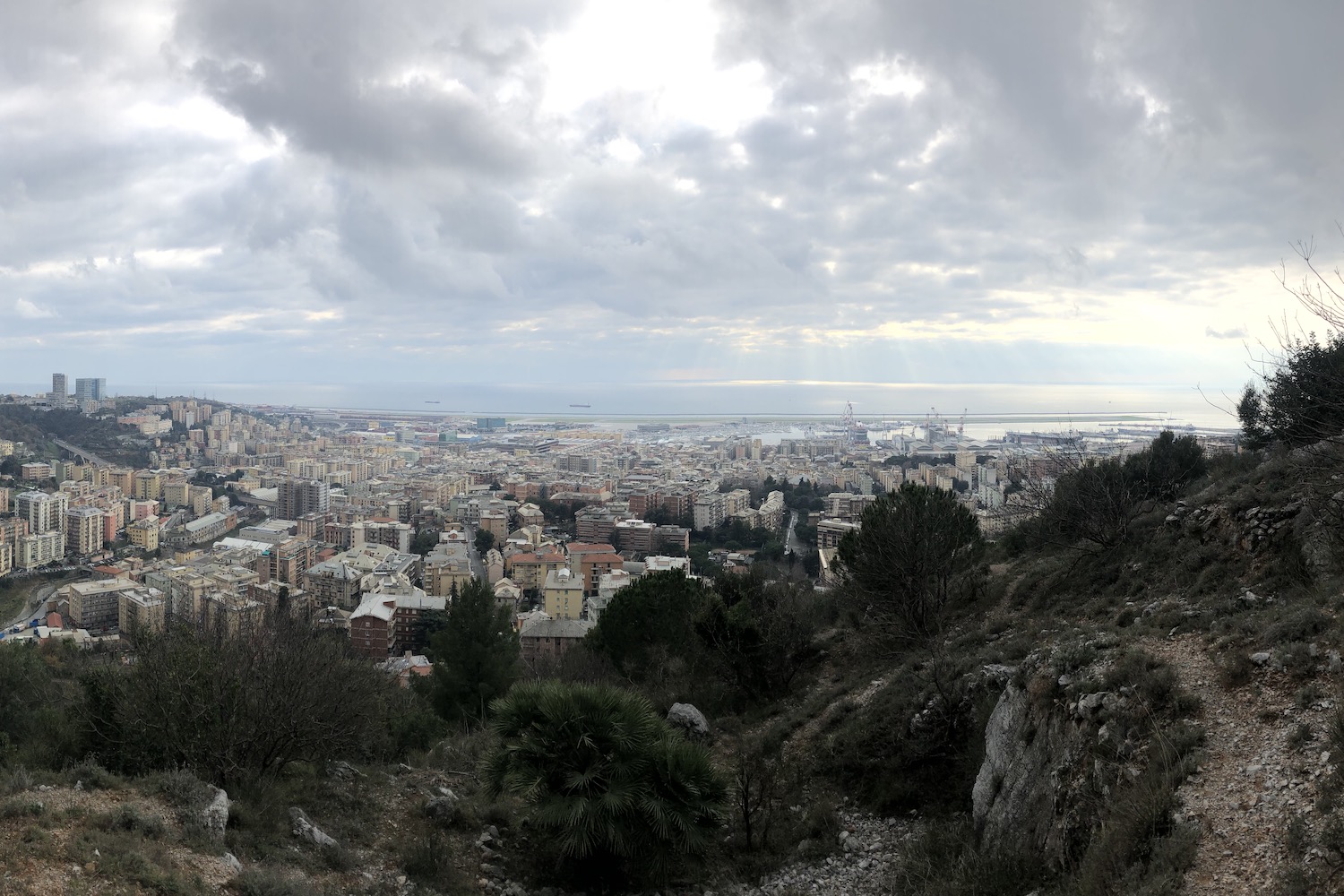
The path begins after passing the level crossing and the last houses, and is easily recognizable by the iron staircase that you meet after a short time.
The next stretch, which pleasantly crosses the Mediterranean bush, climbs up between the two lime quarries of Mount Gazzo (one of which is still working and the other is an active construction site of the third Giovi pass), passes through the only non- touched by bulldozers section and finally rejoins the paved road.
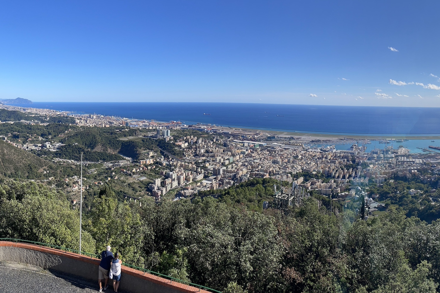
At the top of the small mountain, which from a distance seems crunched by centuries of mining activity, there is the sanctuary of Our Lady of Mercy. Here there is an equipped area complete with a fountain, from which it is possible to enjoy the panorama of a good portion of Genoa and the sea, glimpsing Corsica on clear days.

To get off and close the loop, it's best to stay on the paved road until it crosses the "crêuza" on the left, in an area where there are the remains of World War II forts and tracks for cross-country mountain biking.
Remaining on the typical Ligurian lane, before reaching the station, you will pass a small church (church of Saints Rocco and Isidoro) and the astronomical observatory of Mount Gazzo.
This second part of the route is much easier, and for this reason we also recommend using it as an outward route for families and less trained people.
Trekking Map
That's all! If you like this text or have any question, leave a comment below.


Comments powered by CComment