Path lenght:
Silvano d'Orba (AL)
Ruins of Albarola tower
12 Km
200 mt
Easy
No
October
A walk to stretch your legs among the vineyards of Alto Monferrato, under the October sun.

IN THE VINEYARDS OF OVADA
Path lenght: 12 km.
Trekking date: october
In the vineyards of Ovada
We share the coordinates:
44.680113, 8.676191
(Copy and paste in Google Maps search label).
Useful information
An easy walk, ideal for stretching your legs and at the same time warming up under the October sun.
The route is suitable for everyone and does not present particular difficulties; it can also be covered entirely by mountain bike.
Along the path, which runs mainly on agricultural roads, there are no water sources.
From mid-April some varieties of wild orchids bloom.
Description
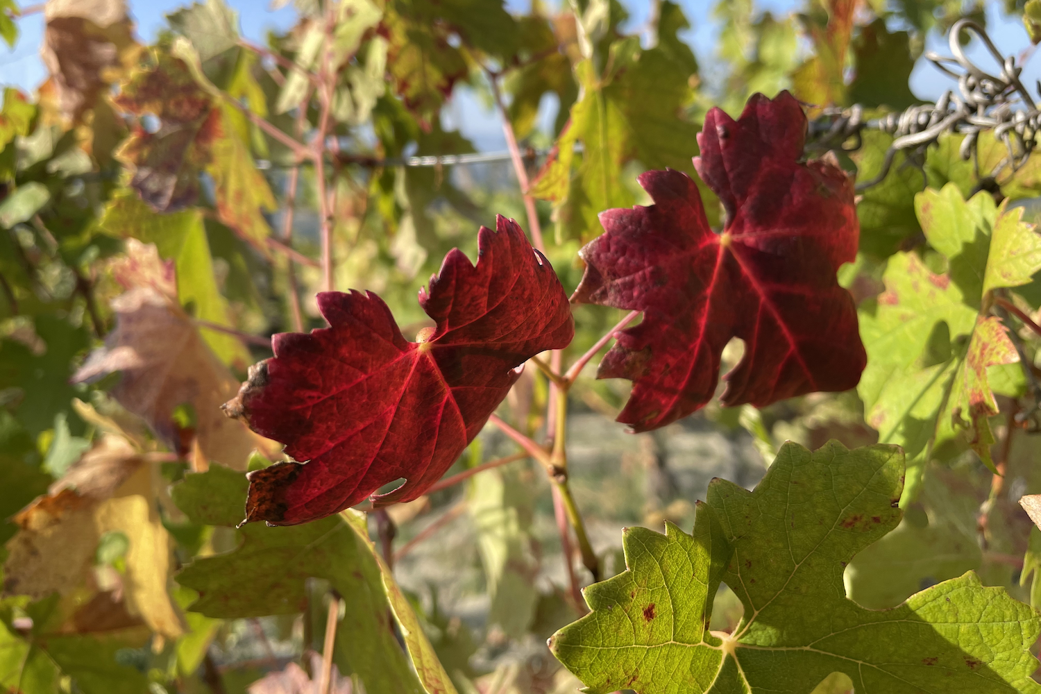
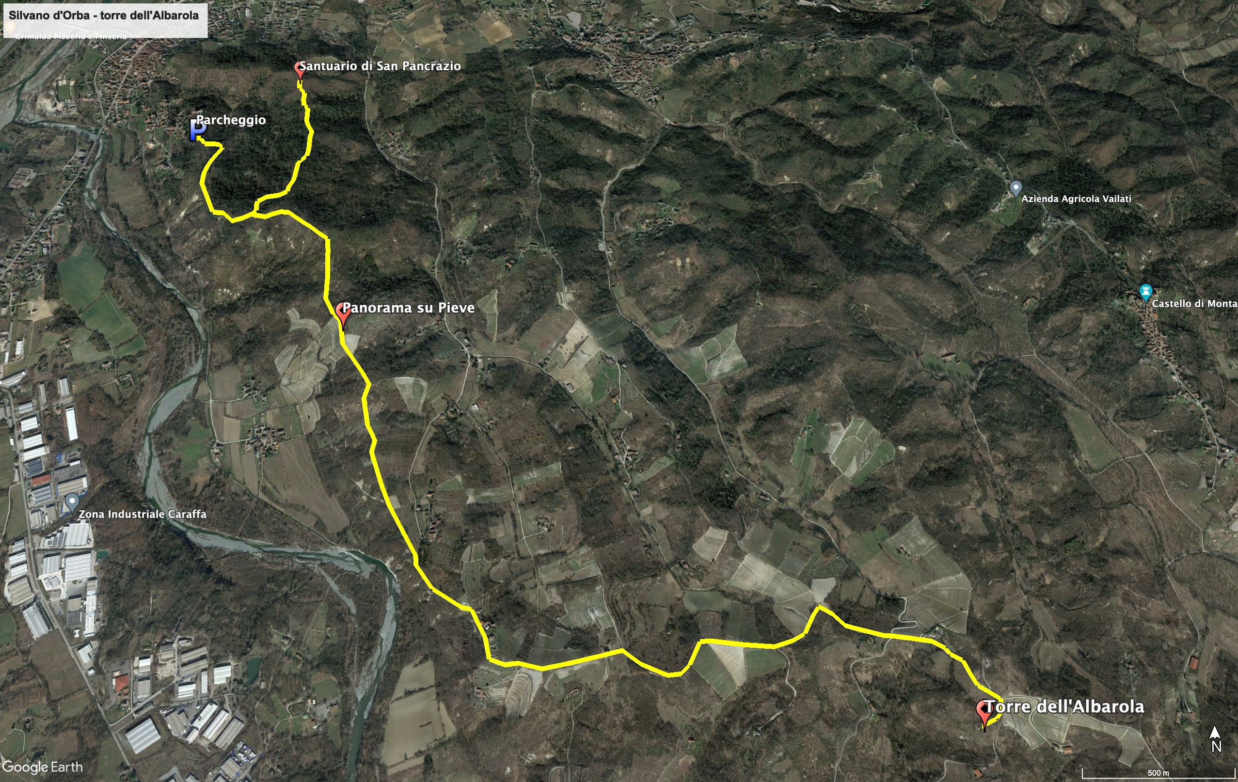
The itinerary begins after leaving the car on the dirt road Villa Superiore, in Silvano d'Orba, a small municipality in the Ovada area. First you go along a small wooded area, then you come across the hills of the upper Monferrato cultivated with vines, with the typical rows that are harvested at the end of summer to obtain the prized wine Dolcetto.
The road is very panoramic, it follows the hilly ridge that runs along the orographic right of the Piota stream: about a kilometer and a half from the parked car you will see, in the valley on the right, the picturesque rural nucleus of Pieve.
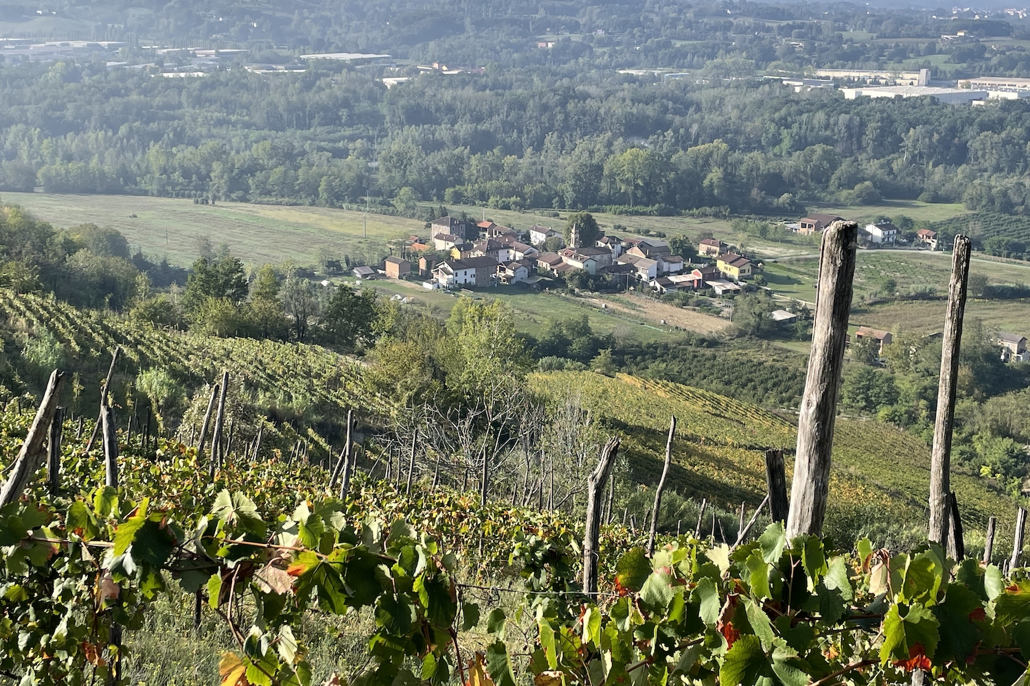
Since Roman times, the Piota has been one of the streams that was searched for gold. The stream originates in the nearby Capanne di Marcarolo park, and becomes a tributary of the Orba right in Silvano.
Continuing on the road that becomes asphalted again you come to Volpreto, a small residential area, after which you continue among farmhouses, vineyards and small houses in via Cascina Bellaria.
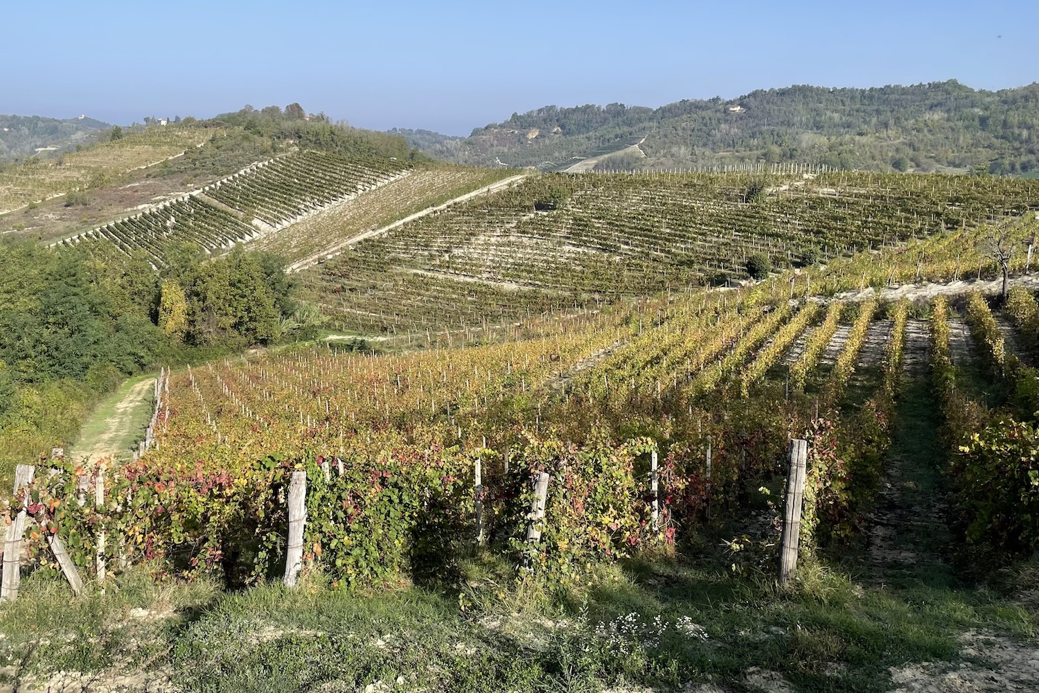
At the end of the route, you reach the remains of the Torre dell'Albarola, which was built around the year 950 at the behest of the King of Italy Berengar II.
The tower was once part of an imposing sighting system against Saracen incursions. Once you arrive you understand the reason for its location, from which you can see the entire Apennine range of lower Piedmont.
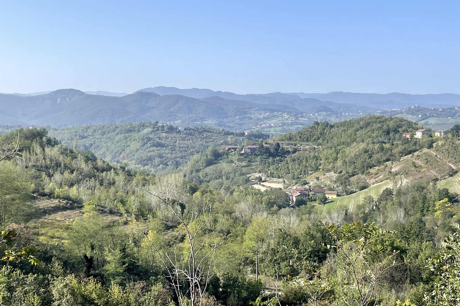
The return journey is the same as the one taken on the outward journey, but if you want you can complete the ring by passing through Castelletto d'Orba.
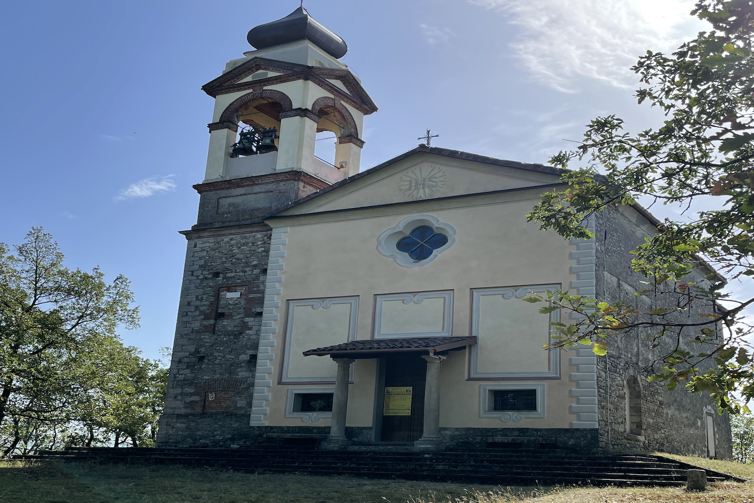
On the way back we made a small detour to the sanctuary of San Pancrazio, patron saint of the city of Silvano, located in the wooded area to the south of the town.
The sanctuary has an equipped area and is looked after by an association which every 12th May, the day of San Pancrazio, collaborates in the village festival and in the conservation of the sanctuary.
Trekking map
That's all! If you like this text or have any question, leave a comment below.


Comments powered by CComment