Path lenght:
Bocchetta pass
Mount Taccone
11 Km
400 mt
Medium
No
May
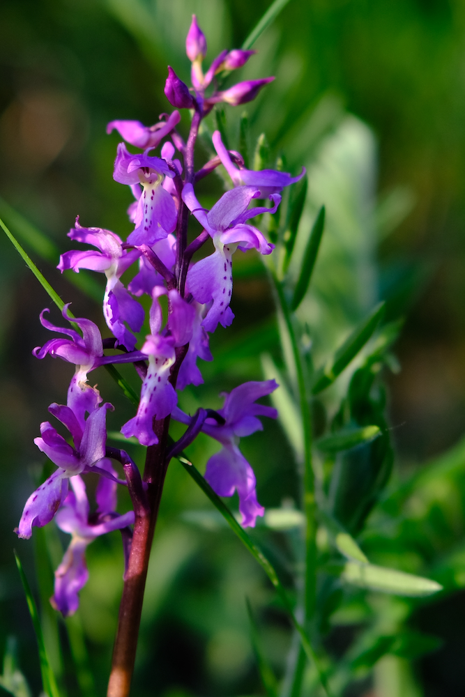
In the Huts Park from the Ligurian side, where wild orchids sprout in the green grasslands
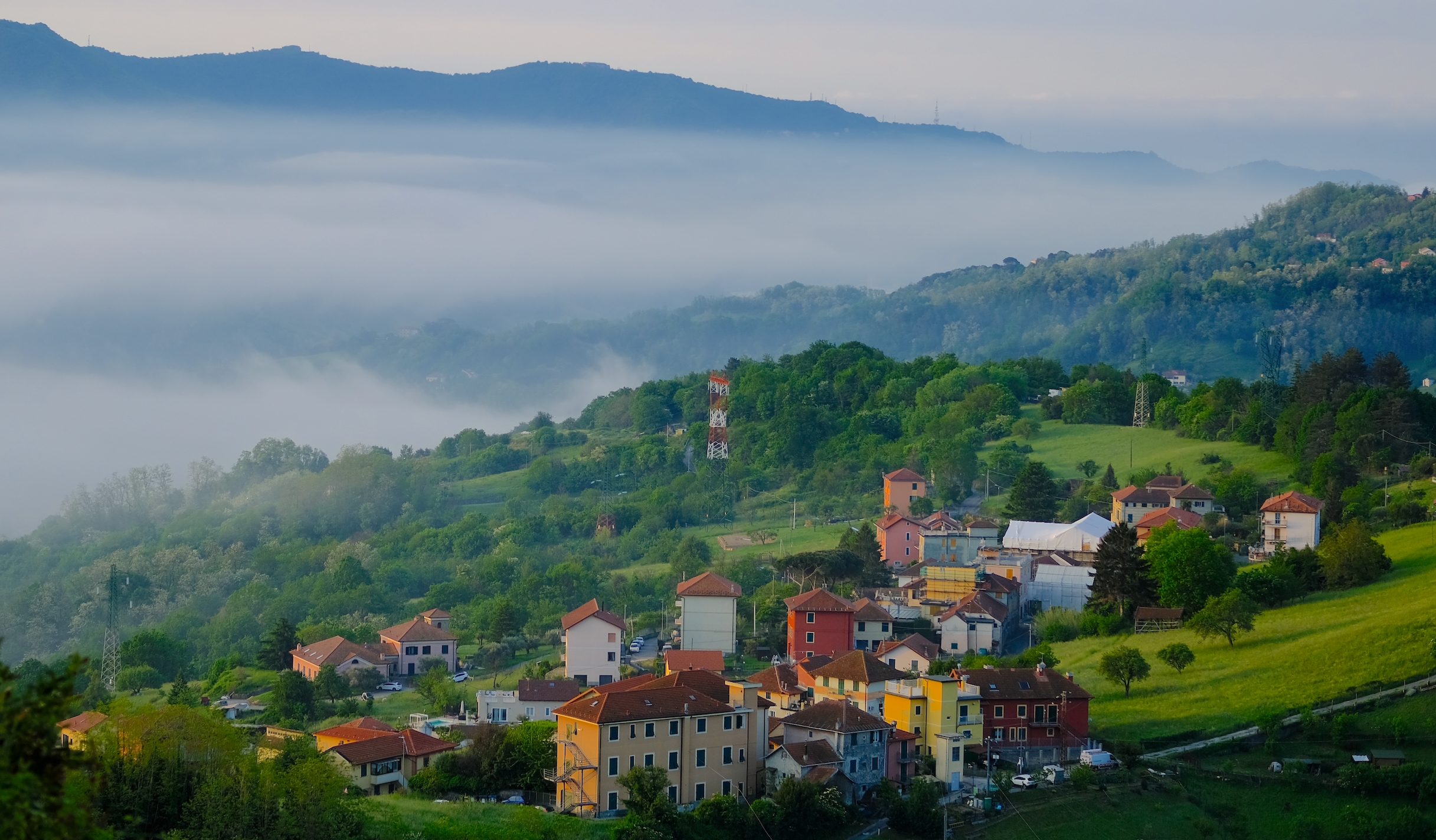
PRATERIE TRA LE NUVOLE
Path lenght: 11 km.
Trekking date: may
Grasslands in the clouds
We share the coordinates:
44.5502217, 8.8880343
(Copy and paste in Google Maps search label)
Useful information:
The path can be followed all year round, but we do not recommend it during hot summer days because there are no shaded sections.
In winter you have to pay close attention to the frost: crampons in your backpack are a must for those who want to venture out!
This route has no water sources, so remember to leave with sufficient supplies.
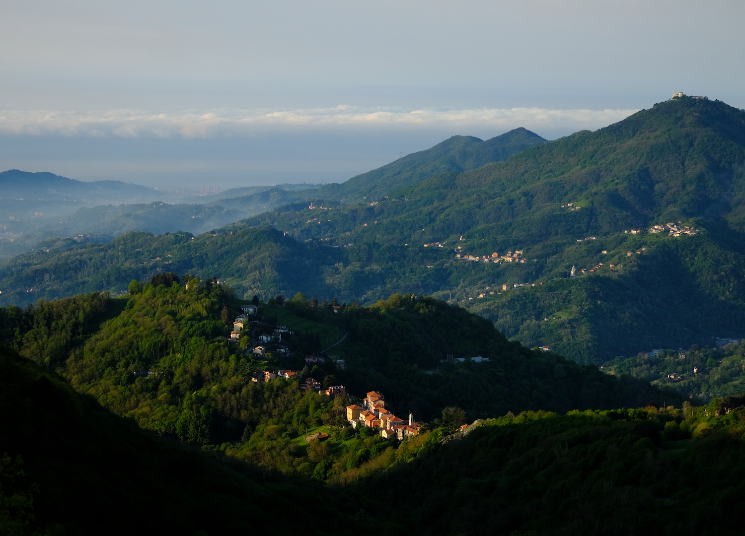
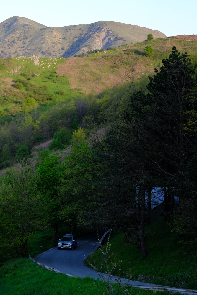
Curiosities of the Bocchetta pass.
This pass belonged to the network of salt routes, famous trade routes that connected the Republic of Genoa with the Po Valley; it is also important for Italian geology, because it is the point where the Alps end and the Apennines begin.
Near the pass, on the left edge of the road, before turning right into the small area where you can park, there is a stele dedicated to the champion Fausto Coppi, in memory of his last victory in the famous Tour of the Apennines.
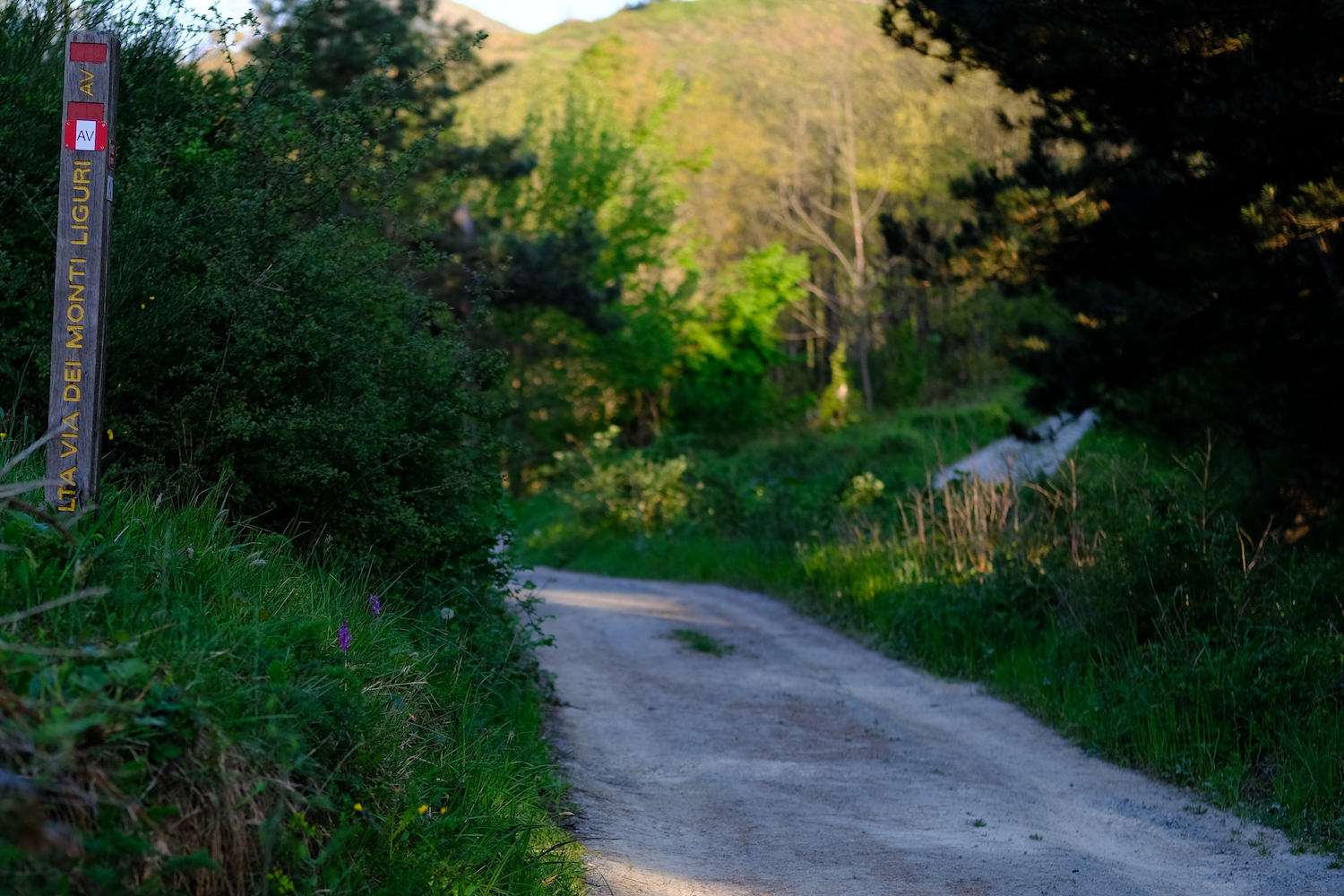
In this article we return to the Capanne di Marcarolo park, using the Bocchetta pass, on the Ligurian side, as the gateway.
During spring, at the first light of day, it is possible to admire from this position the thinning of the morning mists that cover like a soft cloak all the small groups of houses located on the hills north of Genoa.
The landscape from this point of view is very suggestive, which is why a giant bench was also positioned.
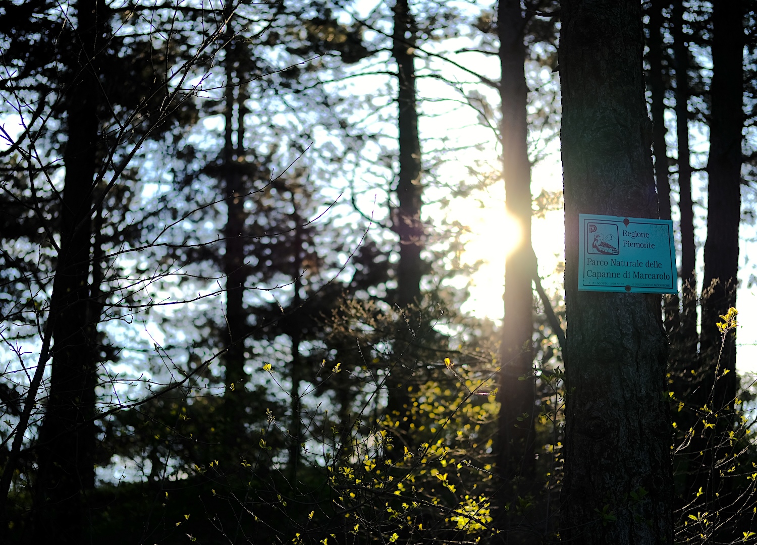
The excursion begins after crossing the road, taking the comfortable path that heads north: while on the right you skirt a thick forest inhabited by roe deer and wild boars, on the left the view opens up and extends over the Guardia sanctuary, over Genoa and on the sea.
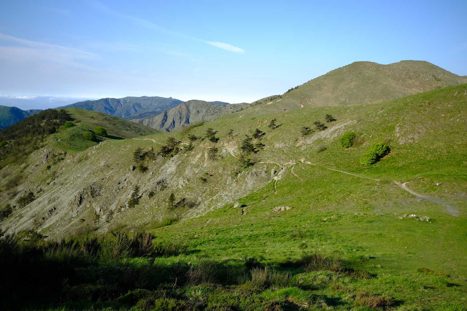
Walking around these parts in May almost certainly means encountering the beautiful blooms of wild orchids, which appear in the large expanses of meadows in the park.
Once you arrive at the unmistakable crossroads of the antennas of Mount Leco, you need to continue left and walk along the western side of the mountain, until you reach a meadow area where you can come across some pastures.
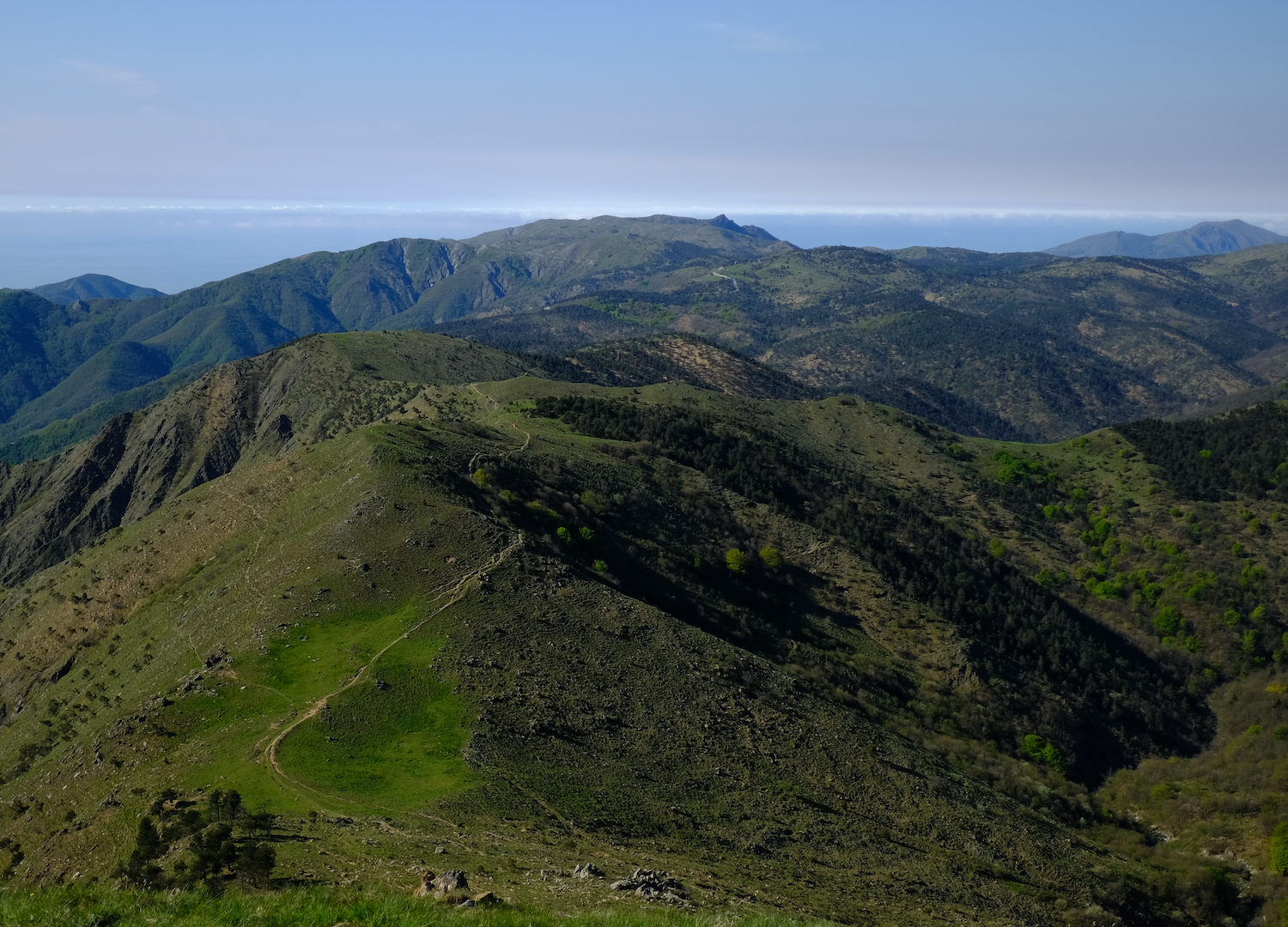
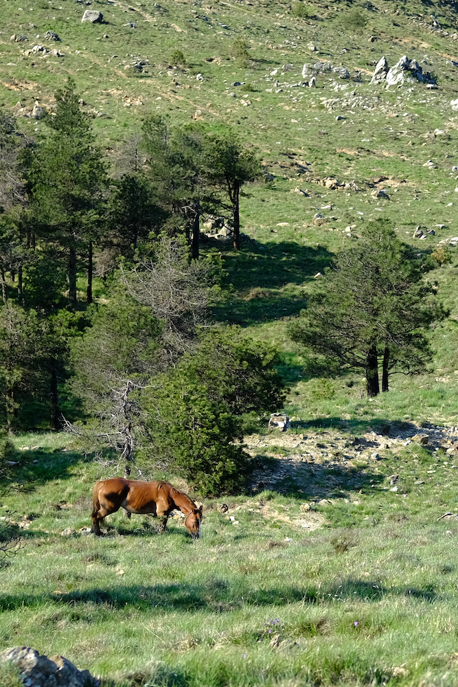
The path continues on these large meadows covered in flowers, after which it leads us to climb gently up the Piedmontese side: here it is not uncommon to encounter some groups on horseback, as it is one of the most popular outdoor activities within the park, like the excursions, gold panning (click here if you are curious) and fishing.
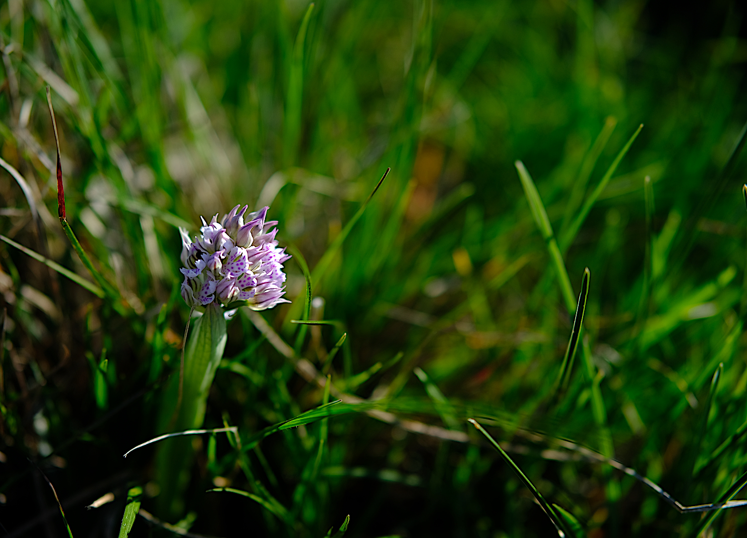
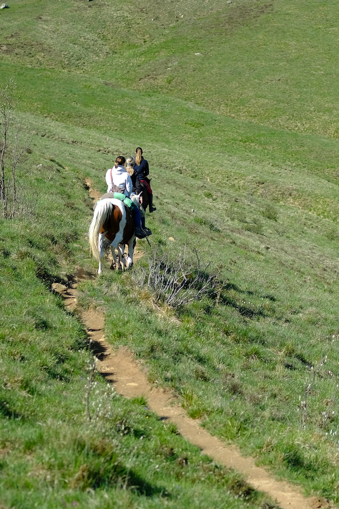
Mount Taccone and its total courtyard can be reached after a short but intense direct route, and once on the top a fairytale panorama opens up, where it is impossible not to see the piani di Praglia, Punta Martin, the Beigua mountains and the sea.
The return route is the same as the outward journey, and for those who have more time available we recommend reaching Monte delle Figne.
Immersed in the green prairies, this corner of silent nature offers an ideal day to recharge your batteries!
Trekking Map
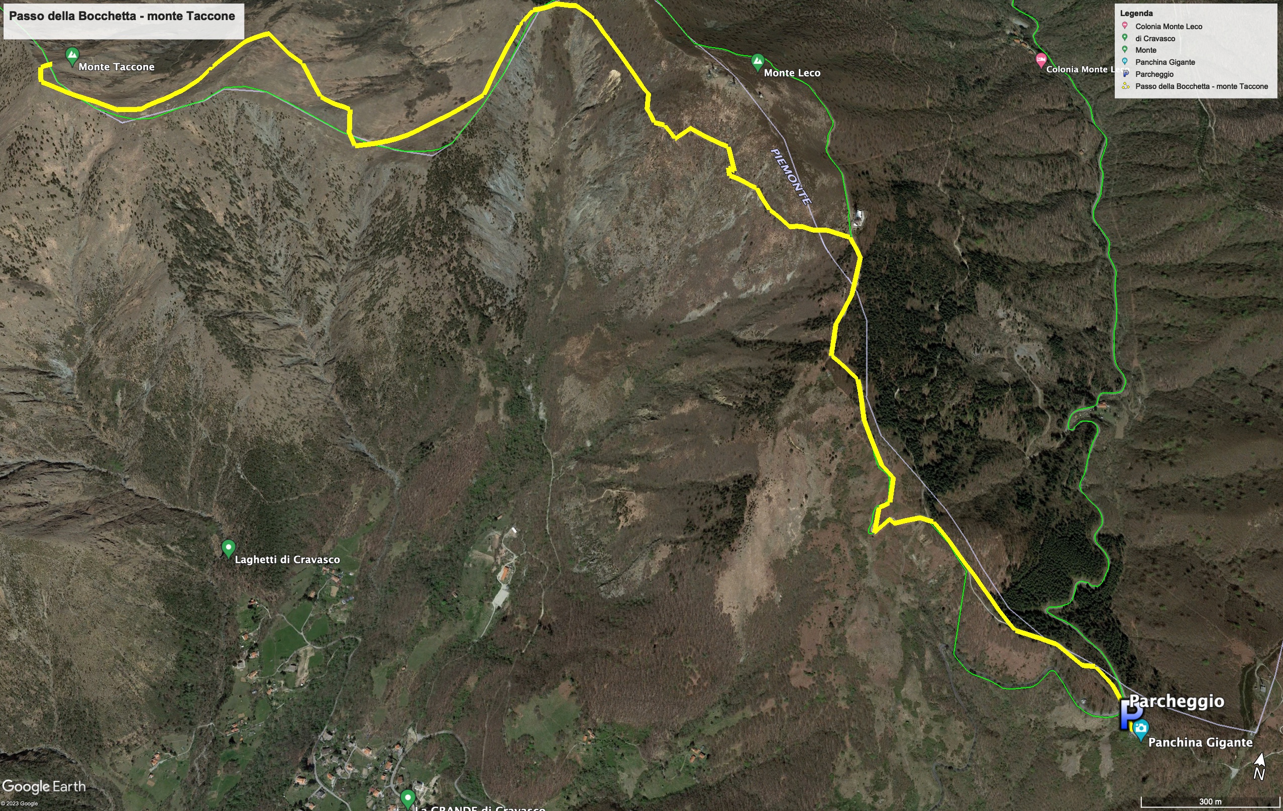
That's all! If you like this text or have any question, leave a comment below.


Comments powered by CComment