Path lenght:
Sanctuary of Acquasanta
mount Penello
15 Km
900 mt
Medium
Yes
March
This is one of the classic hikes in the Apennines behind Genoa, and is practicable almost year-round
FROM ACQUASANTA TO MOUNT PENELLO
Path lenght: 15 km.
Trekking date: march
From Acquasanta to Mount Penello
We share the coordinates:
44.458557, 8.769674
(Copy and paste in Google Maps search label).
Useful information
A classic excursion in the Apennines behind Genoa. The path can be followed all year round, but we do not recommend it on hot summer days. In winter it might be useful to equip yourself with crampons.
Description
With this article we propose a famous route of the Genovesato, to be undertaken if you have sufficiently trained legs. The route retraces some ancient roads that connected Genoa with the hinterland, once frequented daily by shepherds and farmers.
After parking in the large square of the Sanctuary of Nostra Signora dell'Acquasanta, take the narrow path (creuza in Genoese) which gains altitude and reaches the train station.
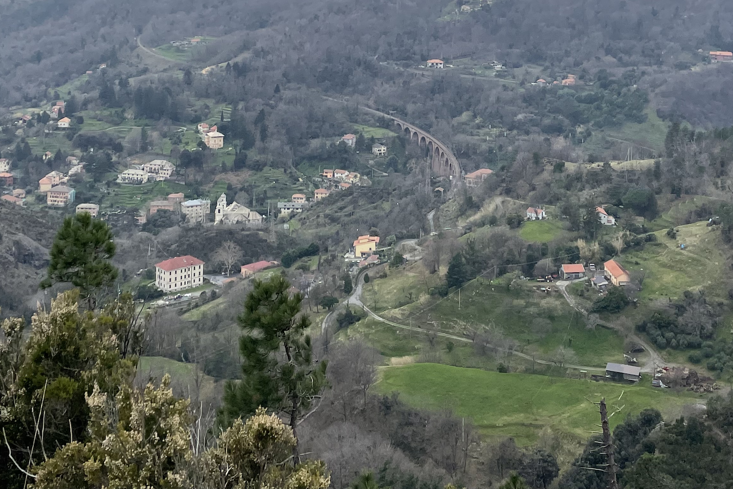
The railway line that passes through here has more than a century of history: inaugurated in 1894, it was one of the most cutting-edge engineering works in the Kingdom of Italy. The railway connects the Ligurian capital with the Stura valley and Acqui Terme.
Despite being a small village, Acquasanta has its own station, because once upon a time this peaceful wooded area was very popular for its spa treatments, its paper mills and its sanctuary. Today it is famous for the good food of the Da Dria restaurant, which offers traditional Genoese cuisine.
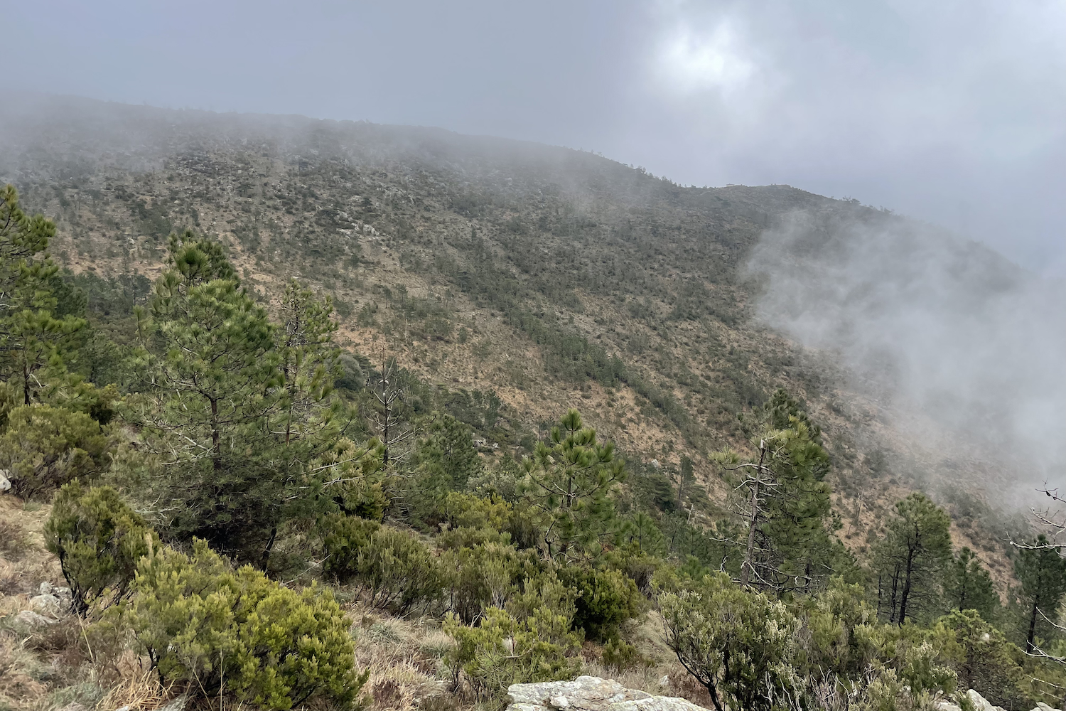
We don't let ourselves be distracted by our appetite and continue on the asphalt road up to Colla di Pra, from which we can see the sea, the motorway, the Fado wind turbine and the picturesque railway bridge. At this point you enter the Mediterranean scrub, dominated by bushes, maritime pines and heather.
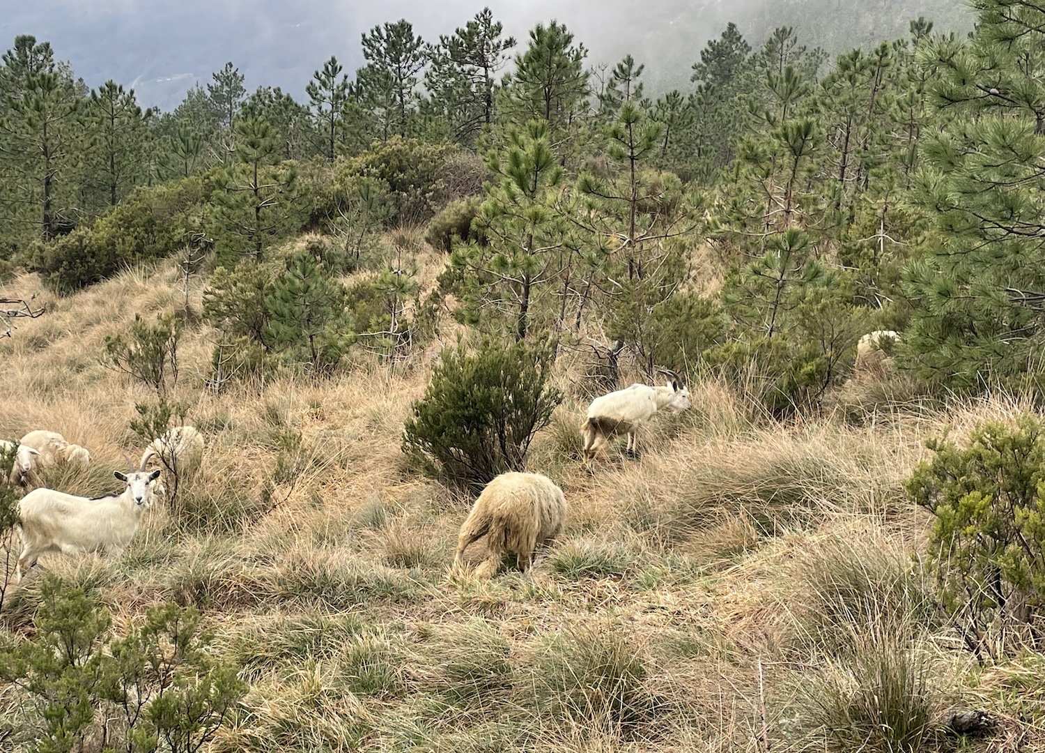
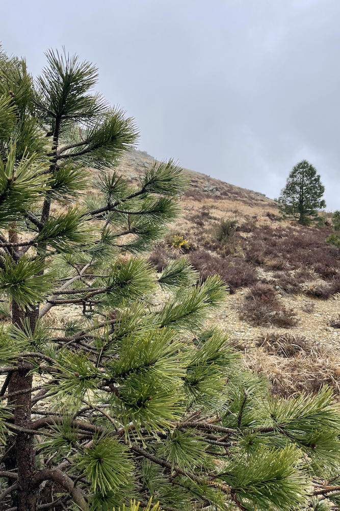
There are many paths that intersect in this area of the route, but all (or almost all) lead to the destination of the day: the Arnaldo Bellani bivouac.
The bivouac was a former German powder magazine; it was in a state of complete abandonment, but thanks to the members of the CAI-ULE of Sestri Ponente it was magnificently renovated and reopened in 2015.
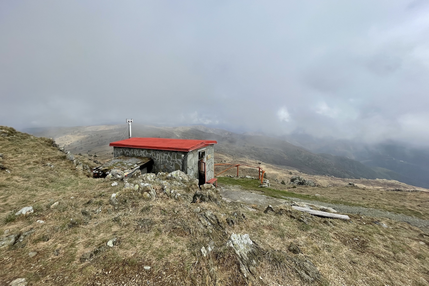
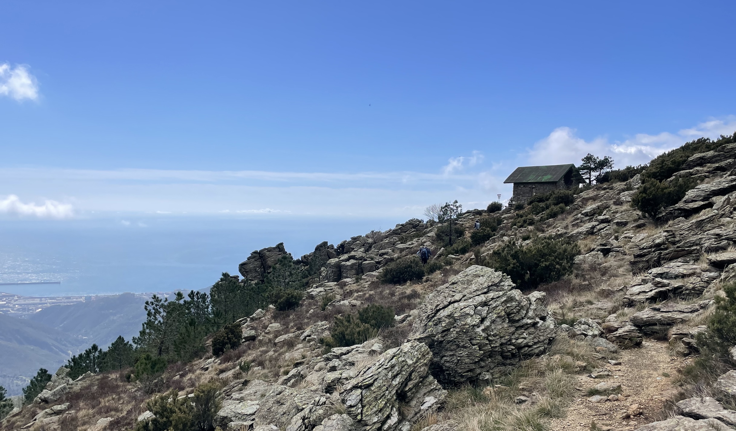
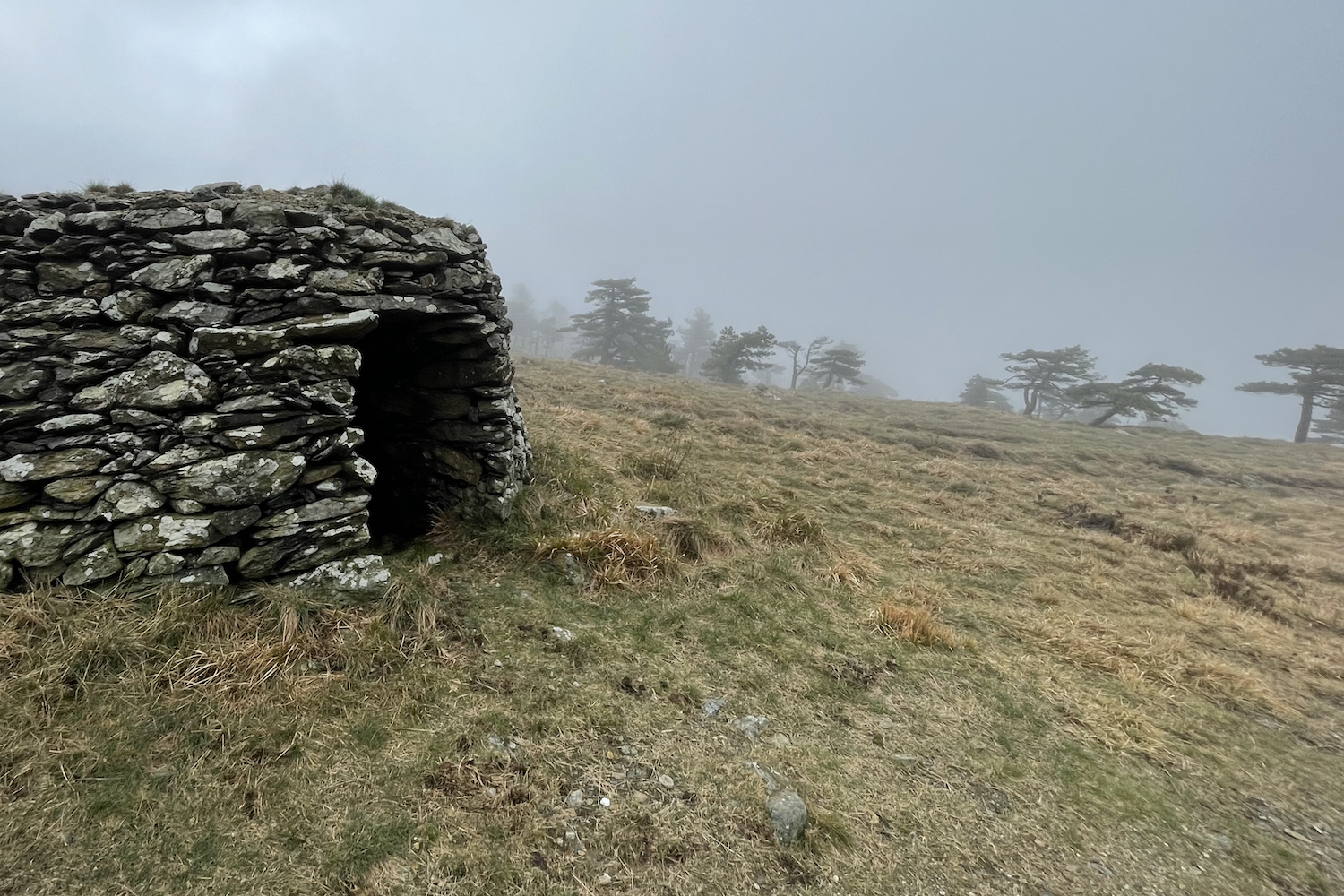
It is worth stopping and eating here, where the view, when the clouds clear, ranges from the sea to the Ligurian hinterland. To return to Acquasanta we initially followed the E1 path, where we come across a "Baracca de Pria", once used as a shelter by shepherds.
Just to the left of the crossroads there is a seasonal water source, called "Fontanin da Scaggia": to quench your thirst you need to reach the sparse pine forest with the wooden tables and benches.
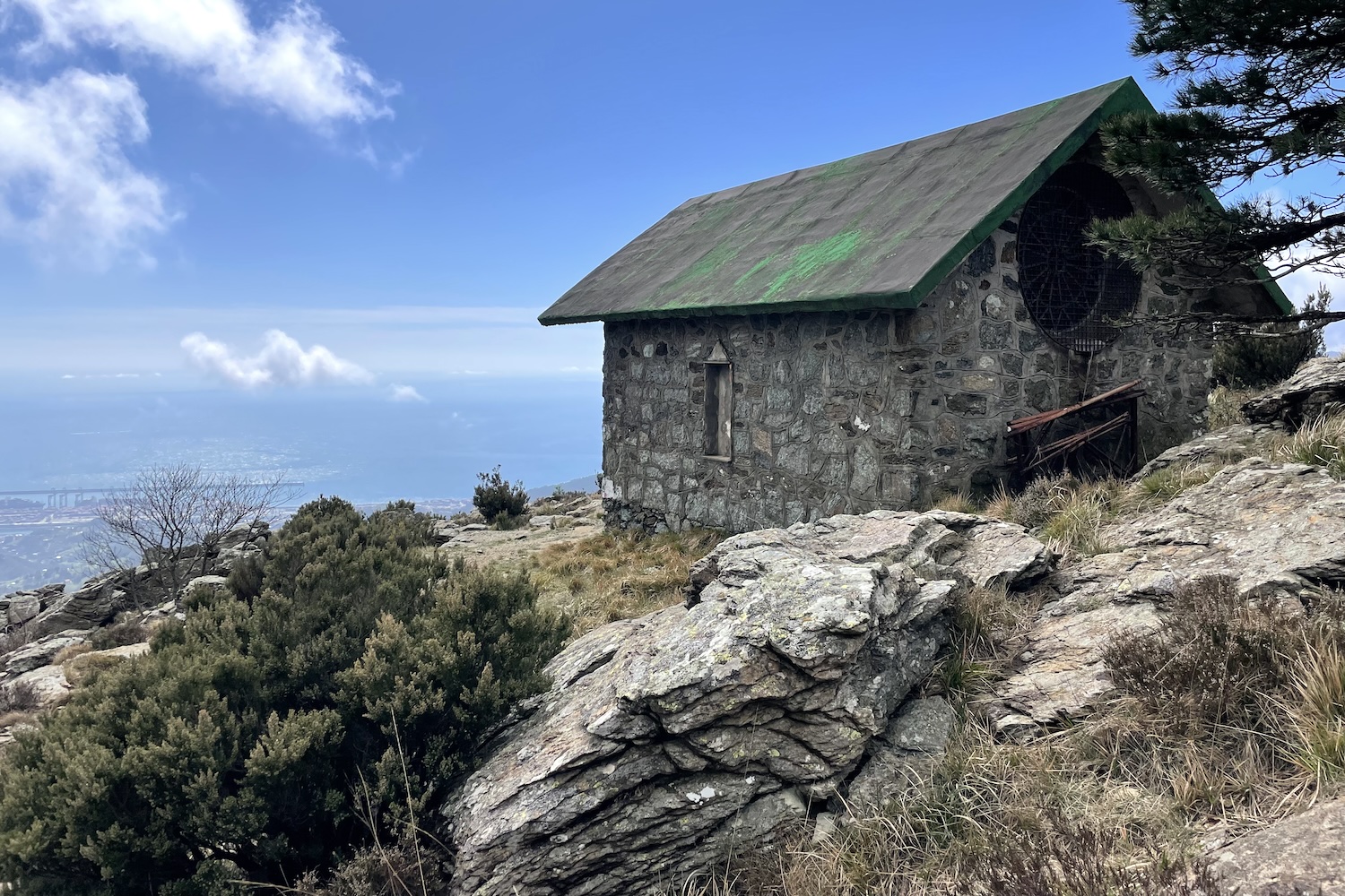
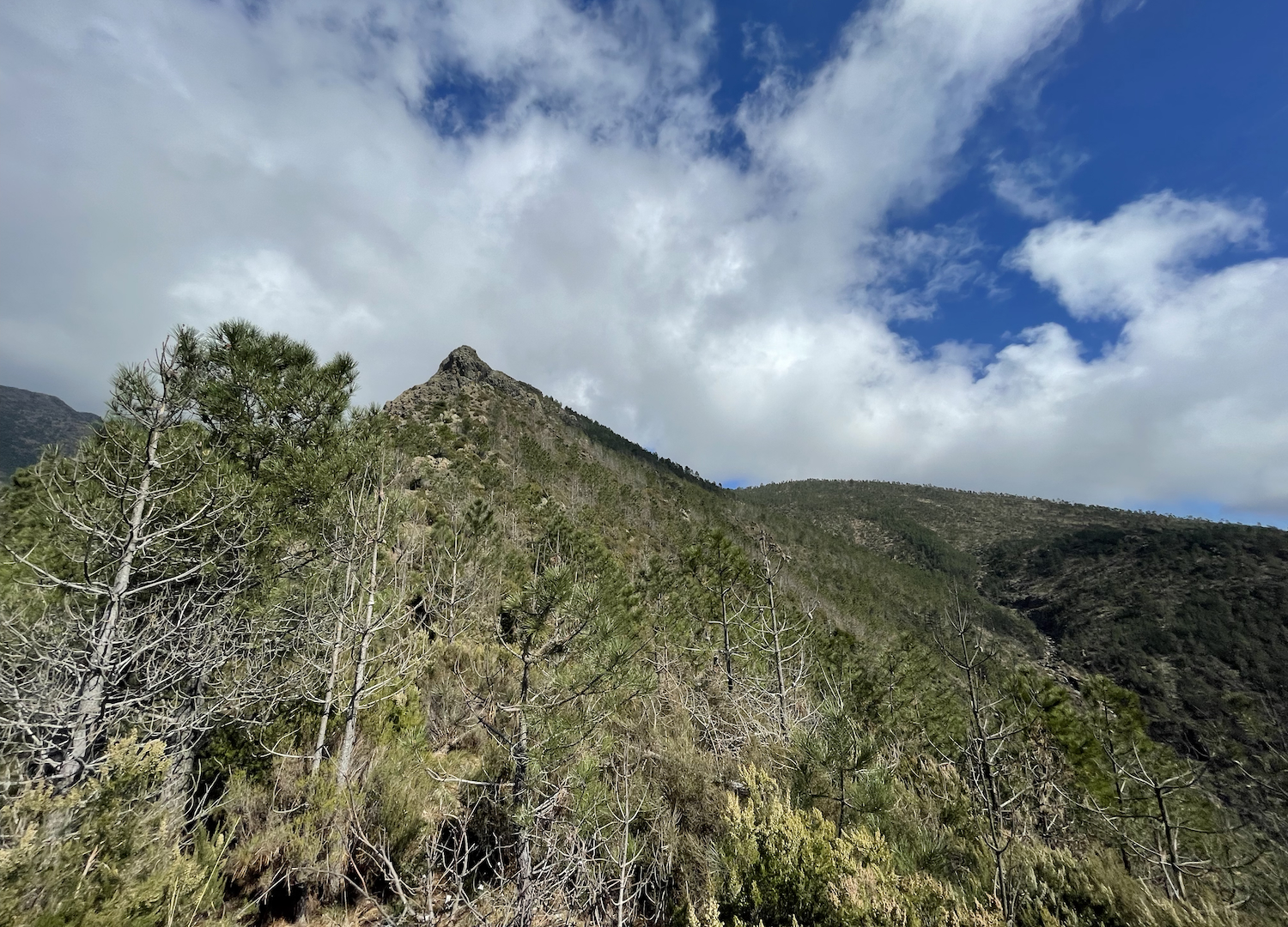
Subsequently we headed to the Baiarda hill, where the small chapel of the same name was built, unmistakable for its characteristic green roof.
The Baiarda hill is well known because it is the arrival point of a famous climbing route.
At this point you can:
- decide to return following the “empty red square” sign. This route is the easiest: from the crossroads continue south, slightly to the left.
After passing the riverbed of the Condotti river, you continue through the Mediterranean scrub until you reach the crossroads at Moccio, from which you will briefly reach the Colla di Pra.
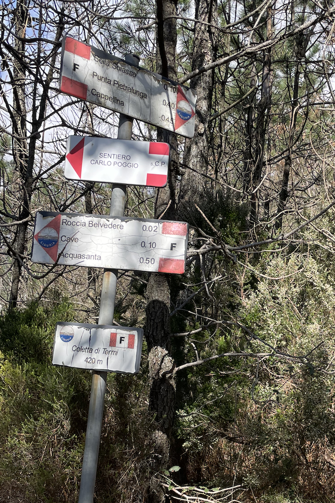
- Take Via Frassati, indicated by the F sign. This route is more challenging, but decidedly more rewarding. The stretch descends rapidly among rocks, shrubs and pines, until reaching Colletta di Termi.
From the Colletta crossroads, continue north, following the signs for an abandoned quarry and Acquasanta. After the quarry you reach another crossroads, at which you must continue left. Subsequently we head south again, keeping to the orographic left of the wild Baiardetta river. The route will finally lead to Acquasanta.
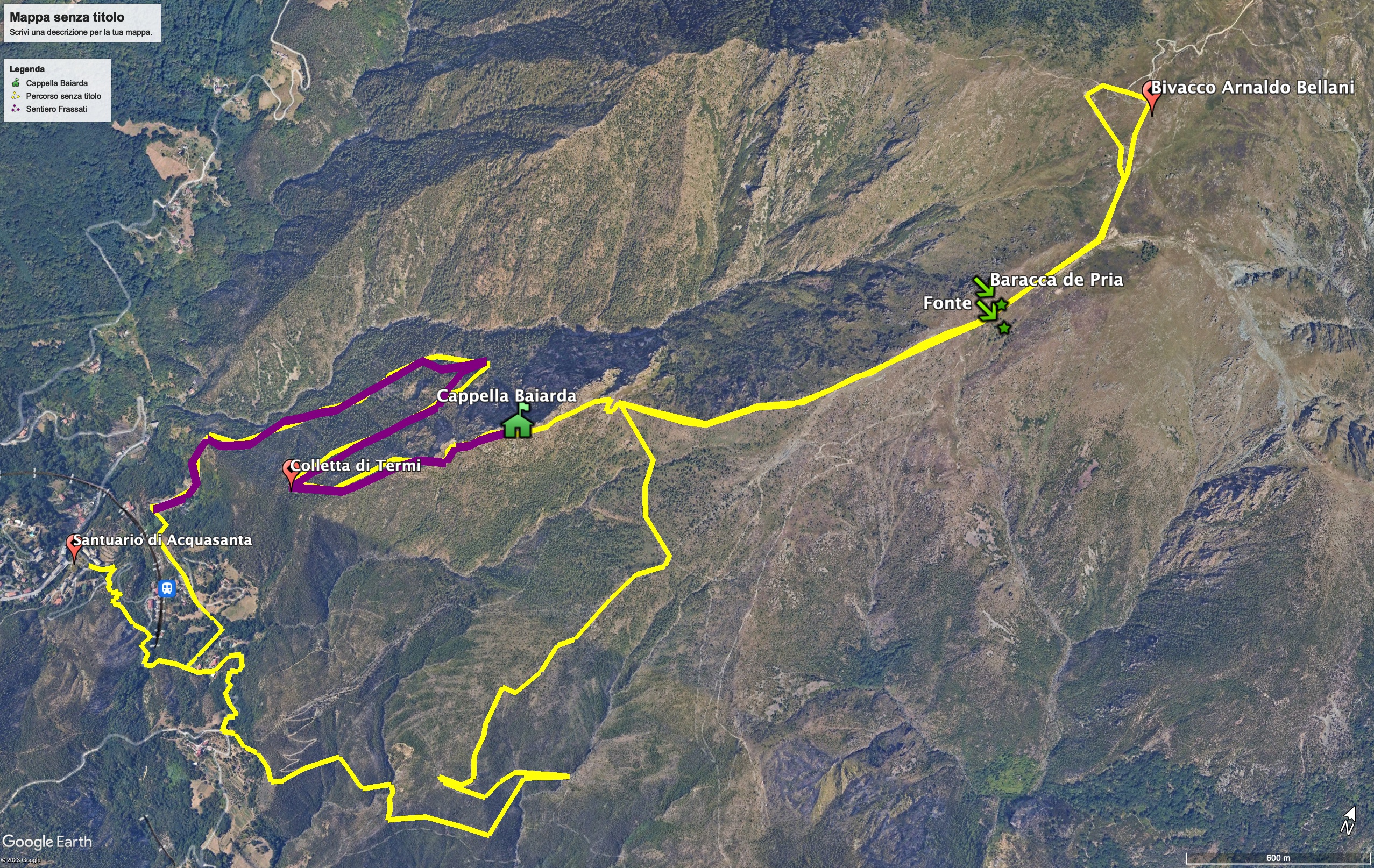
Trekking map.
That's all! If you like this text or have any question, leave a comment below.


Comments powered by CComment