Path lenght:
San Carlo di Cese
Mount Penello
10 Km
800 mt
Medium
Yes
June
Following the rio
Gandolfi, where
you forget
that you are
a few kilometres
from a big city
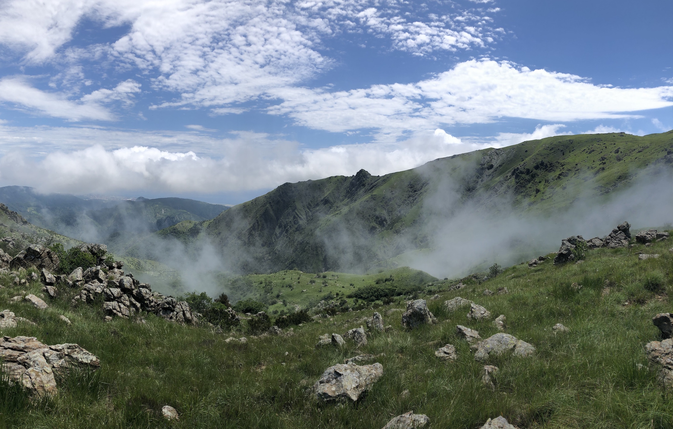
FOLLOWING THE RIO GANDOLFI
Path lenght: 10 km.
Following the Rio Gandolfi
We share the coordinates:
44.479234, 8.834041
(Copy and paste in Google Maps search label)
Useful info:
Despite the proximity to Genoa, this is a real excursion, which develops into an almost wild territory. We advise against following it after heavy rains because they could make the fords impracticable.
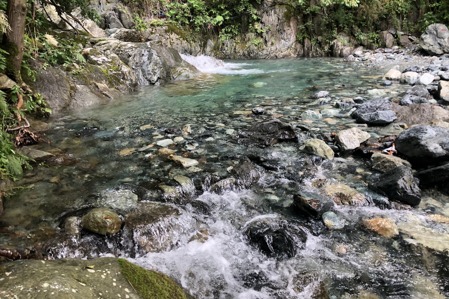
Today we want to propose an unusual itinerary that goes up to Mount Penello from the eastern side, with the path marked by a red X for the first stretch.
The path begins near a bus stop on request just before entering the small town of San Carlo di Cese, and after a few bends downhill it reaches the Varenna stream, which gives its name to the valley through which it flows before plunging into the Ligurian Sea.
Once you have forded the river thanks to an unstable wooden footbridge (be careful in case of high tide), you go back up into the woods and skirt the Gandolfi stream, which creates very suggestive pools and waterfalls along its bed, a summer bathing destination.
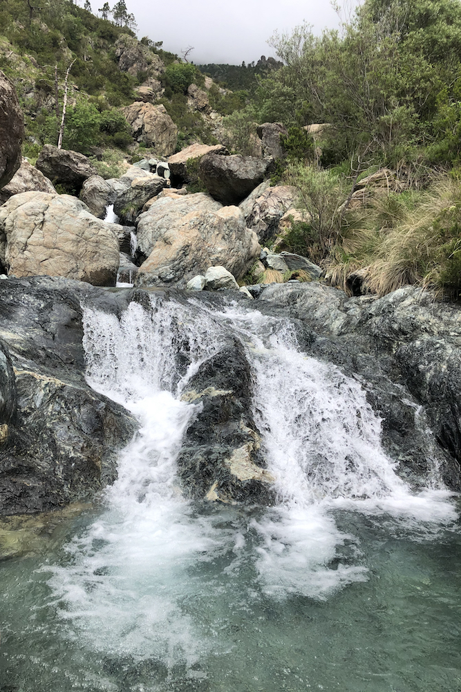

As you move away from the last houses of the village, you immerse yourself in an increasingly harsh, wild and uninhabited place, full of pine trees and shrubs, where the only "noise" that will keep you company will be the roar of running water colliding with rocks and debris.
Following the course of the Gandolfi stream you will come to see Punta del Corno at the top left, a rocky outcrop located on the side of Mount Penello.
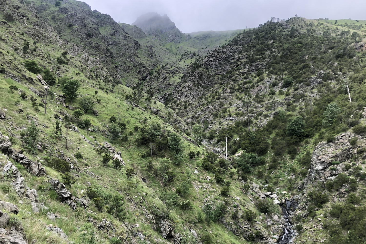
After fording a tributary for the last time, climb diagonally up the grass until you cross the barren area where the pipeline passes. At this point continue on the route that runs along the edge of the ridge to the north which will take you to the peak area, which can be reached by crossing a small gully and some easy rocky leaps.
This whole stretch is not dangerous, but walking it with low clouds and Avatar-style fog created some orientation problems.
Once we left the tip we headed to the small Bellani bivouac, located on the broad peak of Penello, where we refreshed ourselves before setting off again.
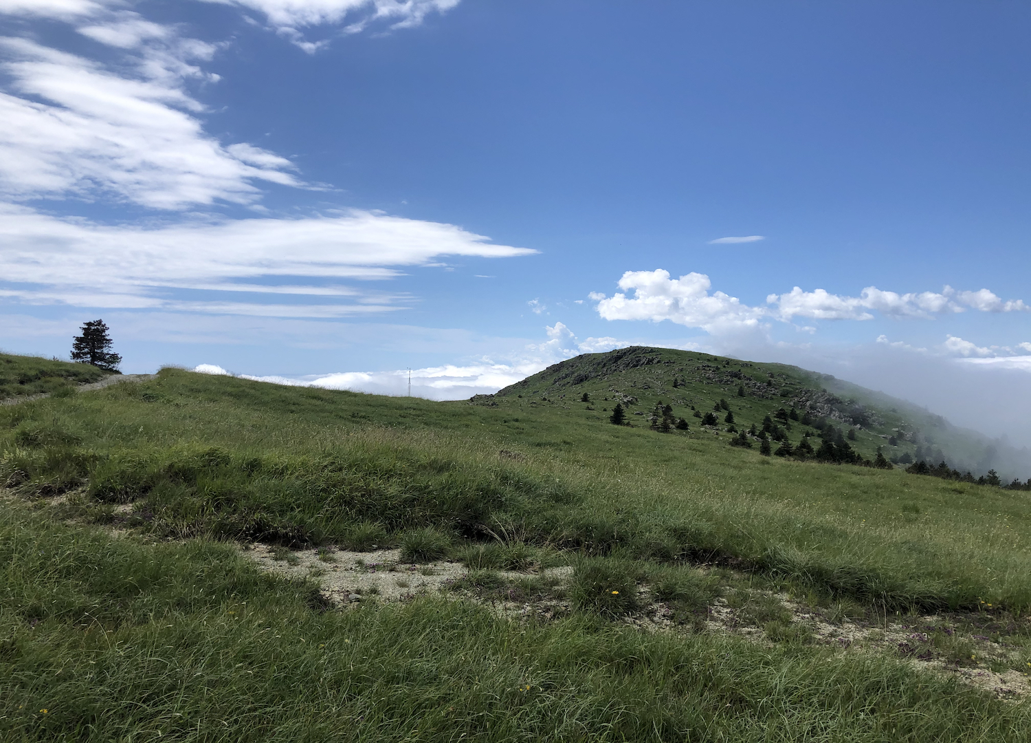
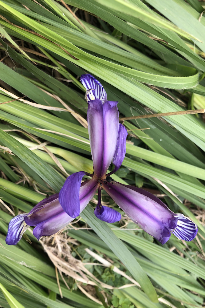
Not far from the Bivouac is Colle Gandolfi, an important crossroads from which you can reach Punta Martin before taking the return path that closes the loop returning to San Carlo di Cese.

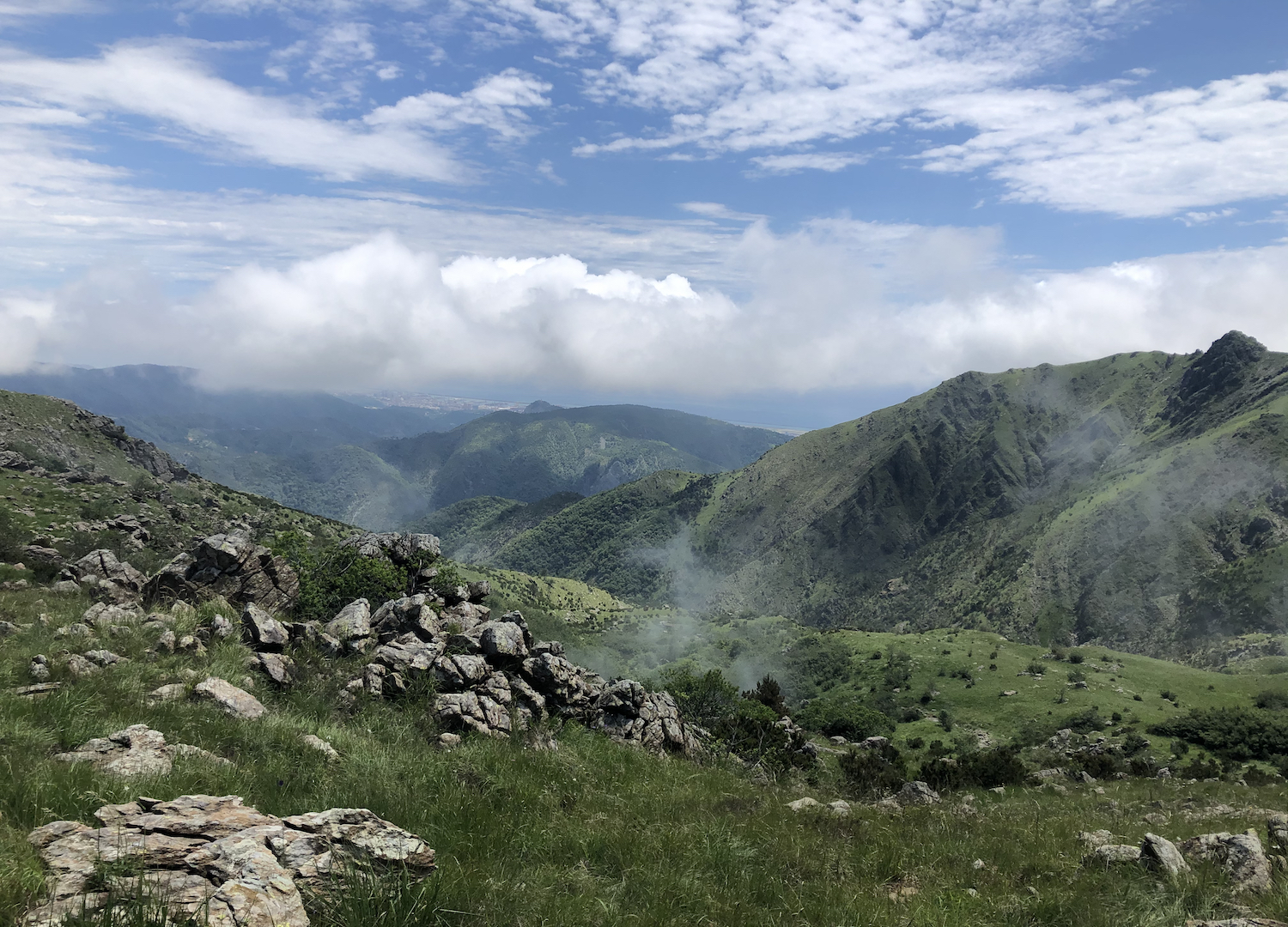
We made this trip in early June on a cloudy day, when the temperatures weren't too high and the rains of the previous weeks had given vigor to the vegetation.
Trekking Map
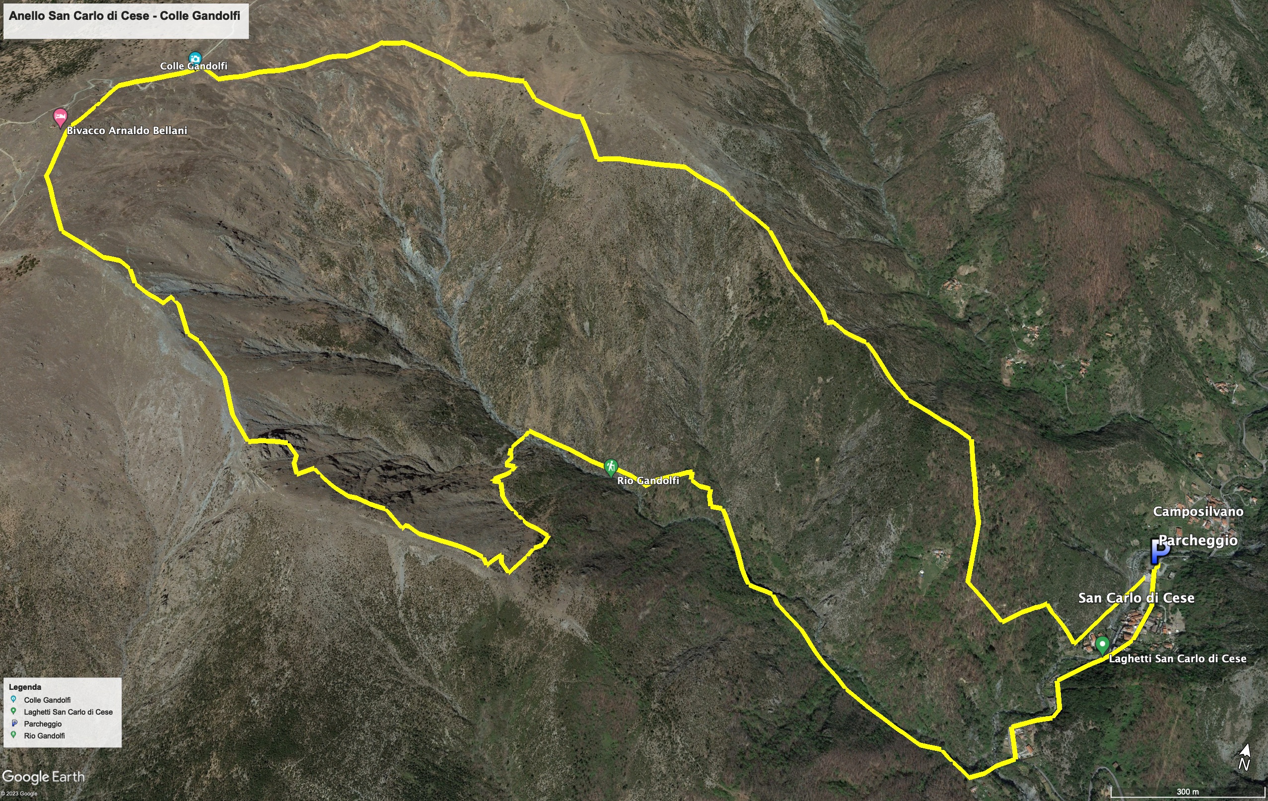
That's all! If you like this text or have any question, leave a comment below.


Comments powered by CComment