Path lenght:
Pentema
Costa della Gallina
9 Km
500 mt
Medium
Yes
October
In search of chestnuts in the Antola Park, where you will happen to discover quaint old villages such as Pentema
CHESTNUT TIME IN PENTEMA
Path lenght: 9 km.
Trekking date: october
Chestnut time in Pentema
We share the coordinates:
44.539506, 9.129030
(Copy and paste in Google Maps search label).
Useful information
We took this trip in October in the hope of picking some chestnuts, and we must say that we were not disappointed.
To reach Pentema we strongly suggest passing through Torriglia. There is another road from Montoggio, which in theory would be faster (from Genoa), but the condition of the asphalt is precarious. Avoid it!
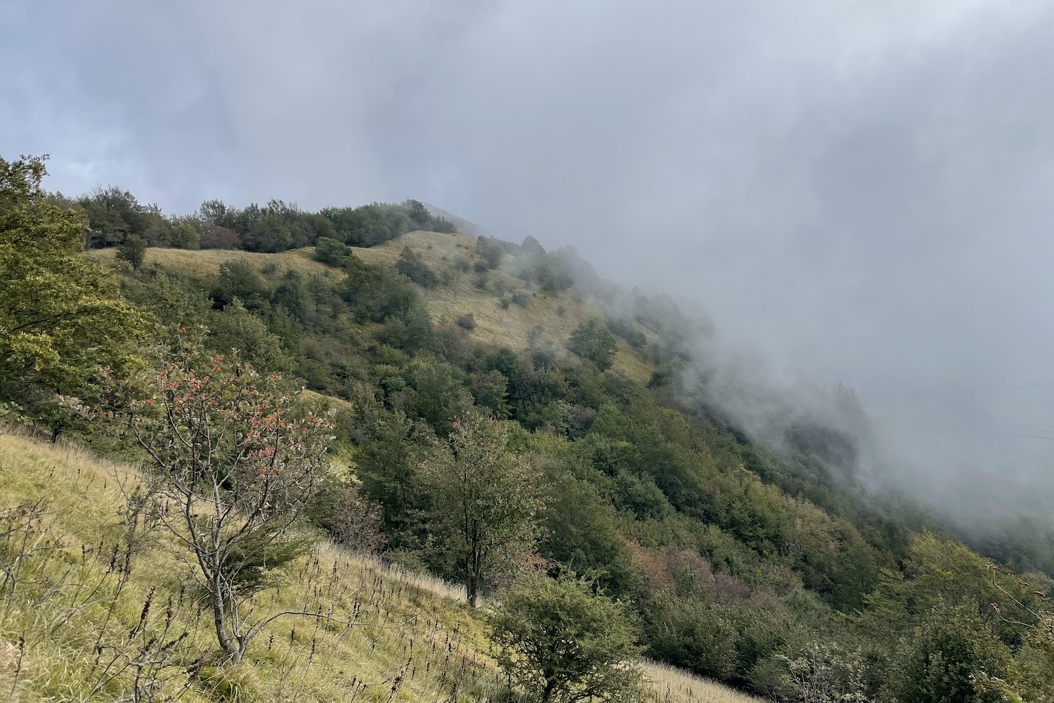
The excursion is not difficult, and the only slightly "inventive" point is on the ridge called Costa della Gallina. It is possible to follow a parallel track a little further north, which is marked and easier.
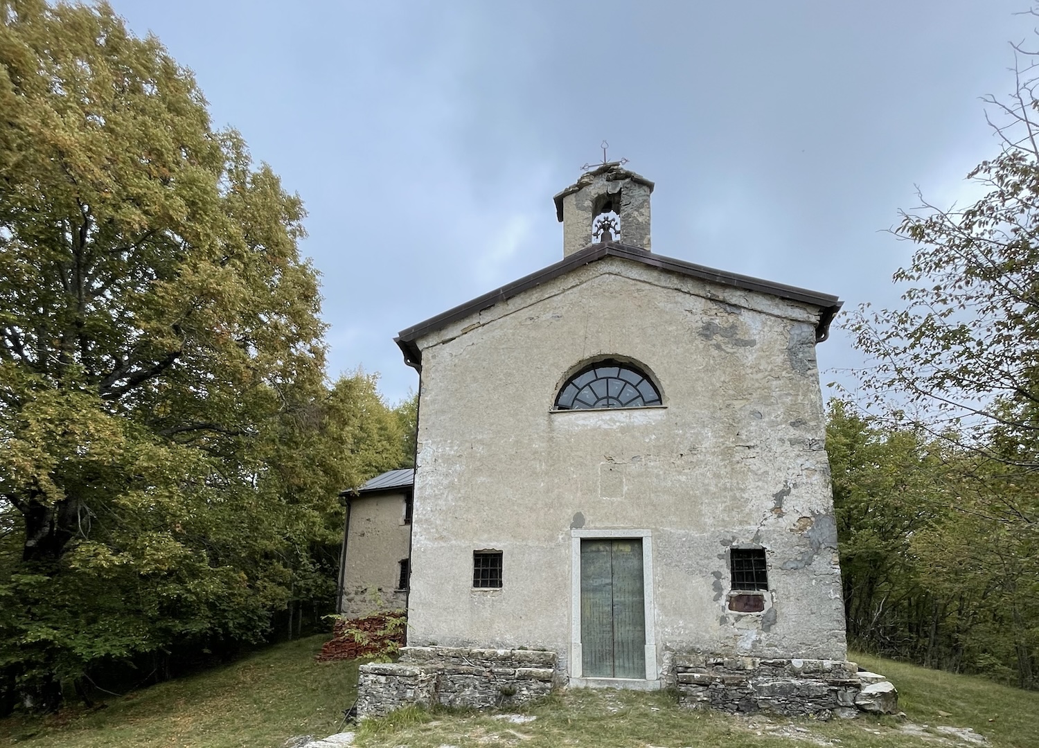
There is a small fountain along the route, located shortly after the chapel of the Madonna della Guardia.
The peasant town of Pentema
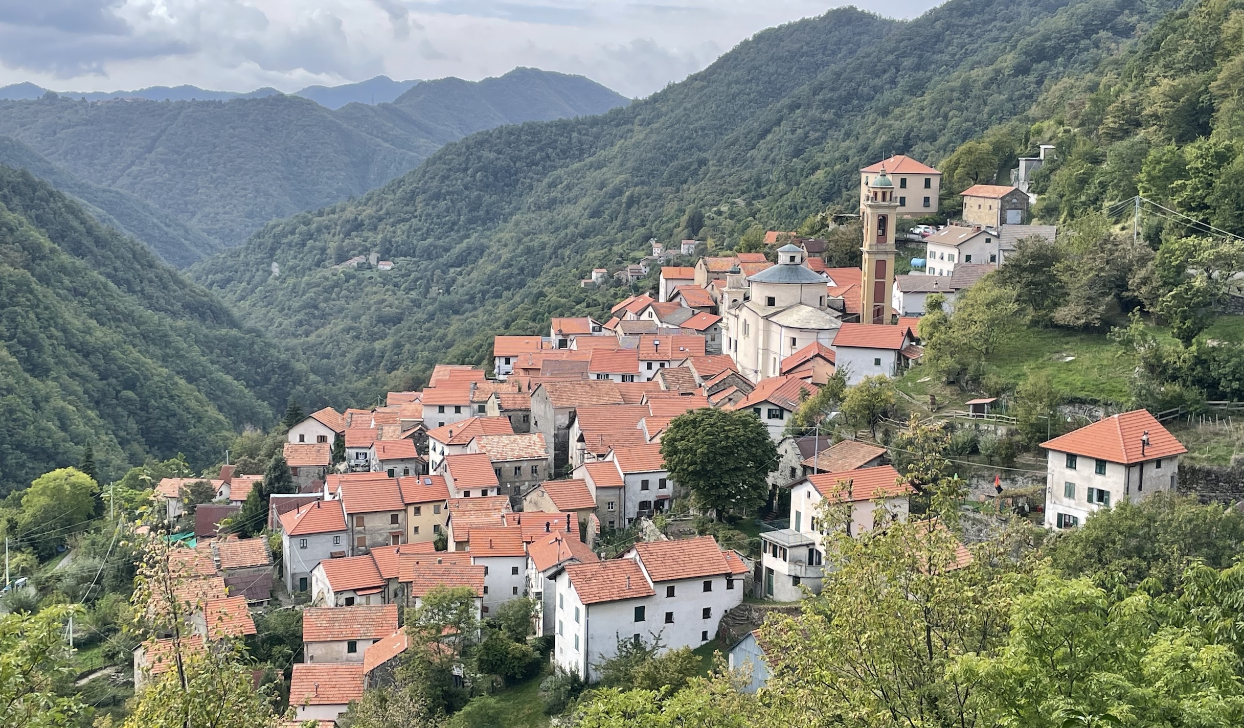
Pentema is a village famous for its traditional nativity scene: in this period volunteers dress mannequins in late 19th century clothes and place them in the rural village, among stables, blocks of flats and lanes, staging a cross-section of the rural life that once took place.
At the beginning of the twentieth century, life was laboriously spent among cultivated areas and pastures to be tended. Villages like Pentema remain from that period, frozen in time, belonging to an era so close to us and at the same time so distant. Today we are trying to recover and safeguard this peasant image. The nativity scene is a wonderful initiative to implement all this, and gives the opportunity to get to know an area far from the summer tourism of the coast.
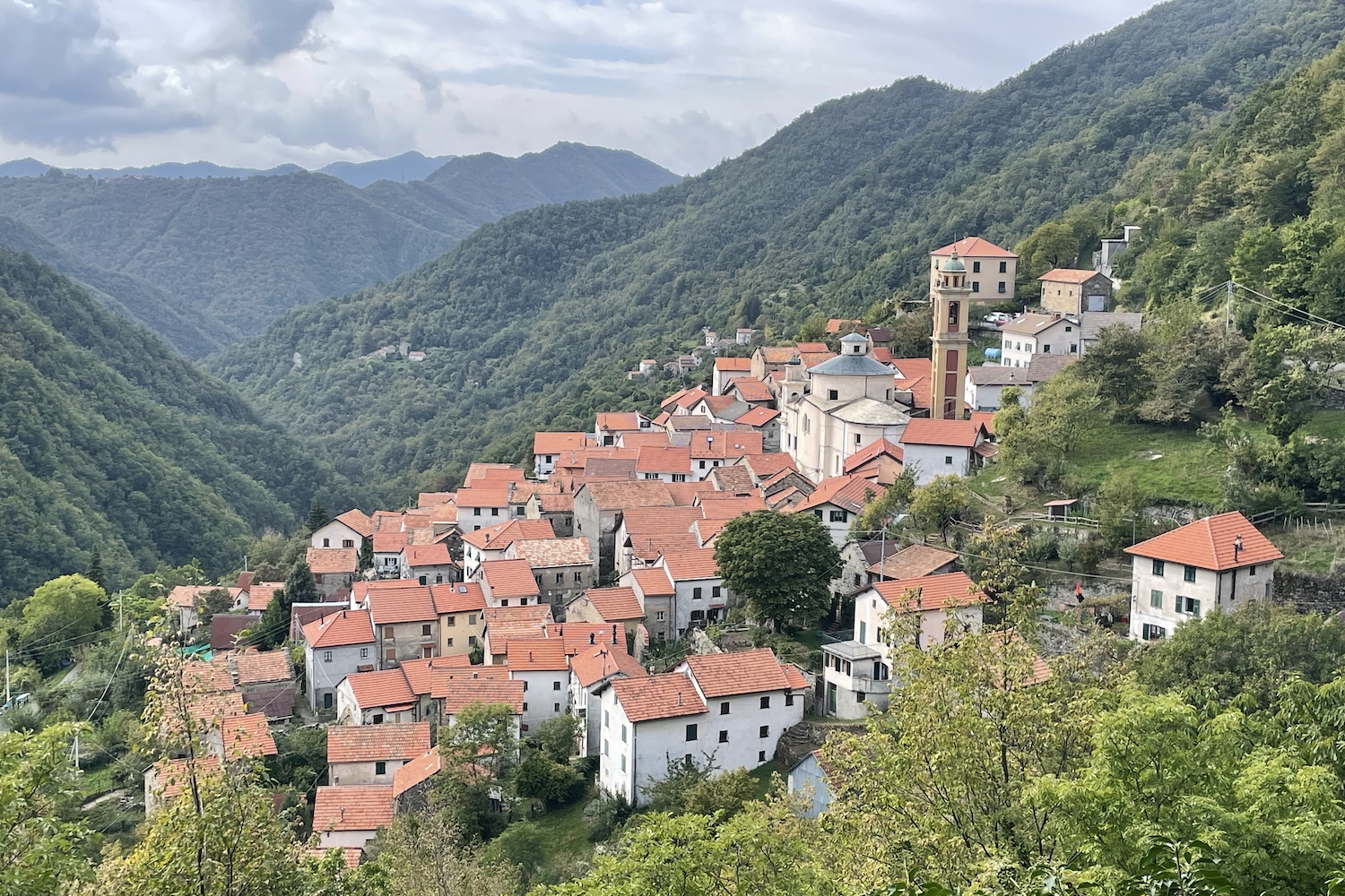
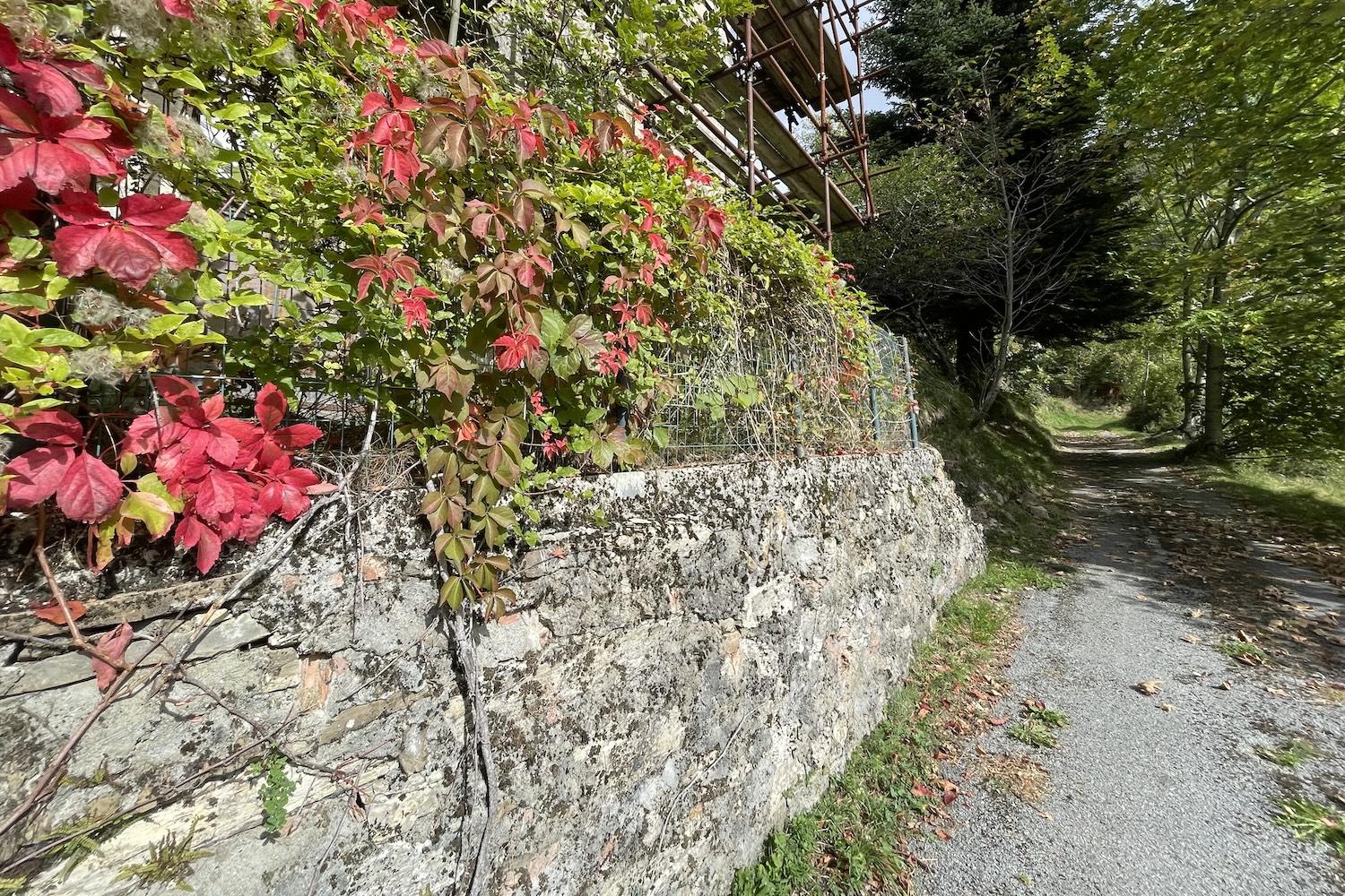
The nucleus is very picturesque, with the houses clinging to each other and adjacent to each other, almost as if they wanted to support themselves in an attempt not to collapse to the ground.
The crêuze wind along the hill on which the town is built, perched around the church. For this reason, we invite you to visit this village, looking for and photographing the most picturesque views.
Description
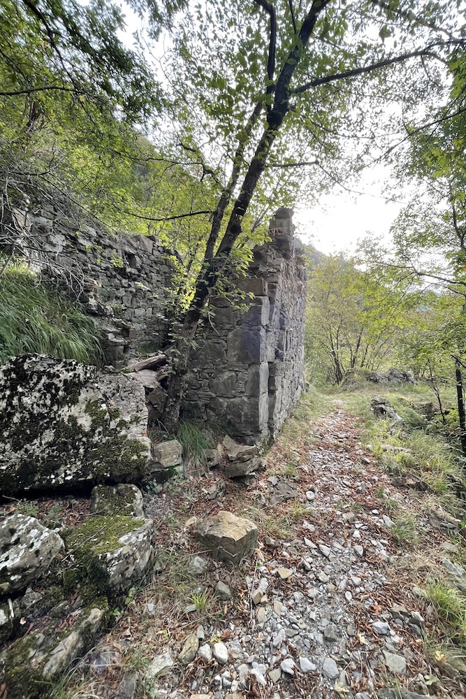
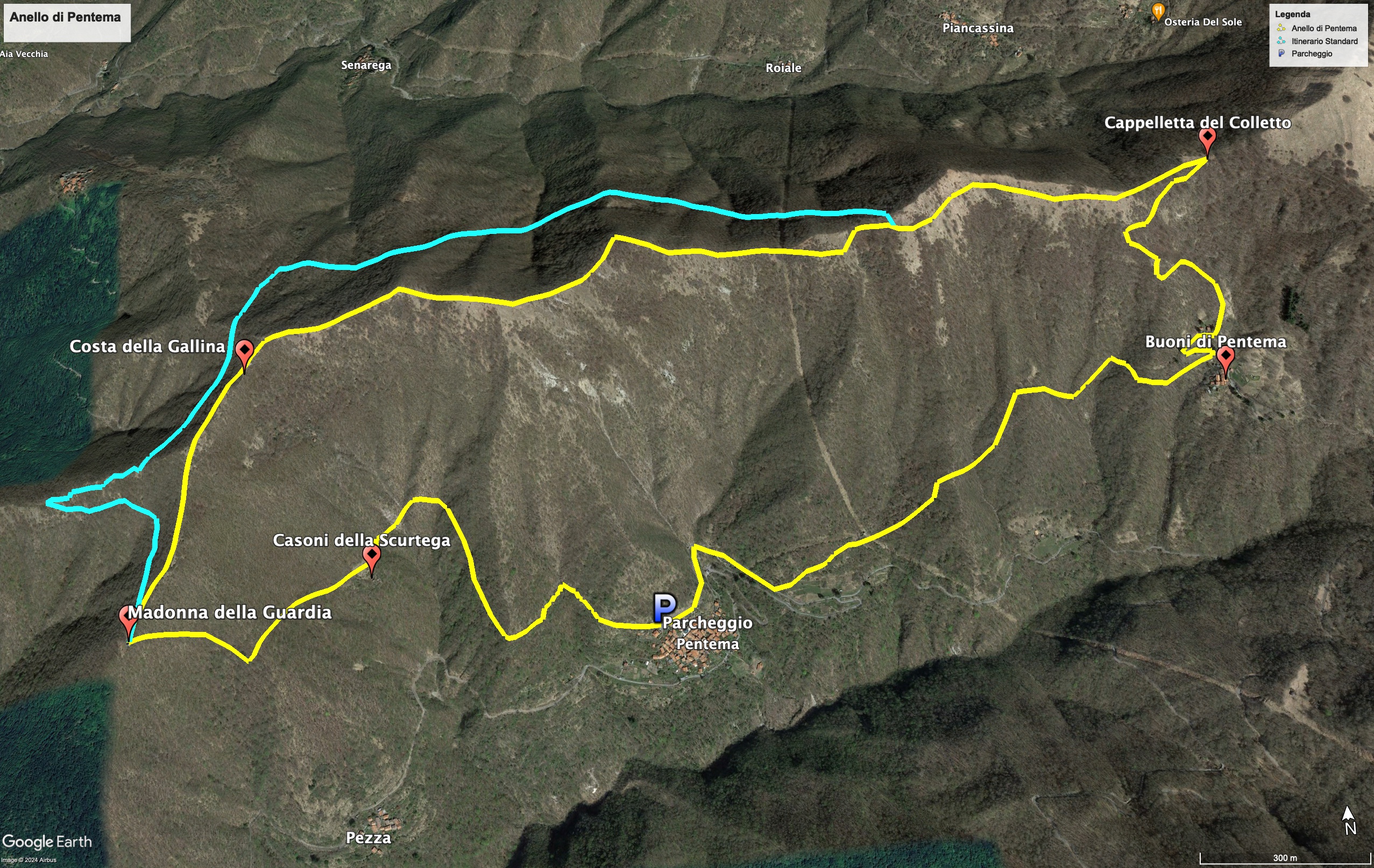
The itinerary develops in the woods of the Antola park. From the church of Pentema, take the mule track which rises up and reaches Casoni della Scurtega.
The "casoni" were buildings with predominantly thatched roofs, and were used by the farmers to:
- rest temporarily during the mountain pasture period.
- have a deposit for haymaking or leaves destined for the stables.
From the casoni we continue up to the small church of the Madonna della Guardia, where in a few minutes it is possible to stock up on chestnuts.
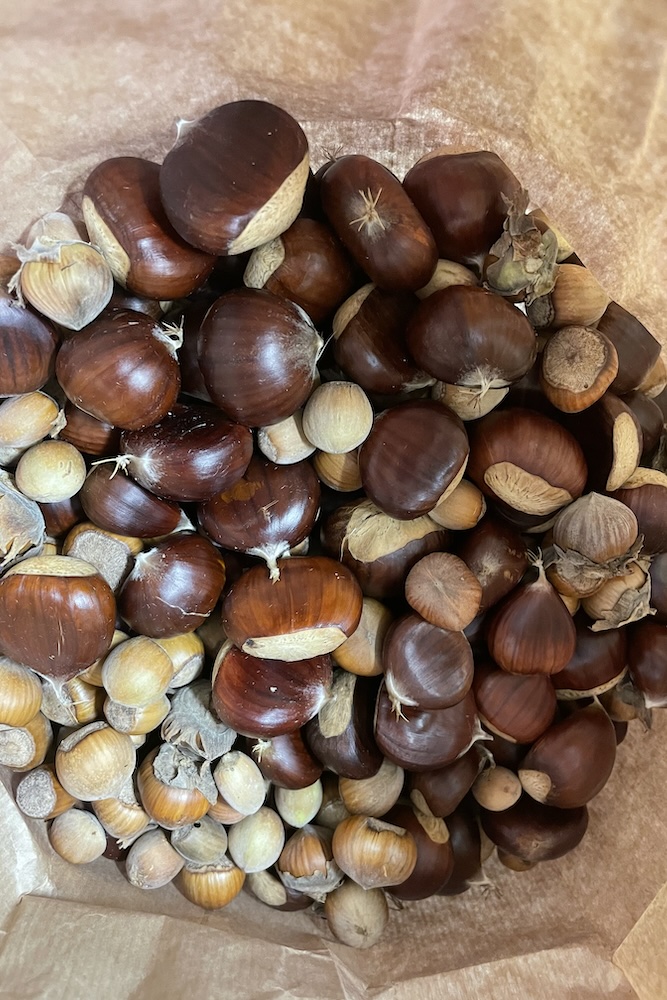
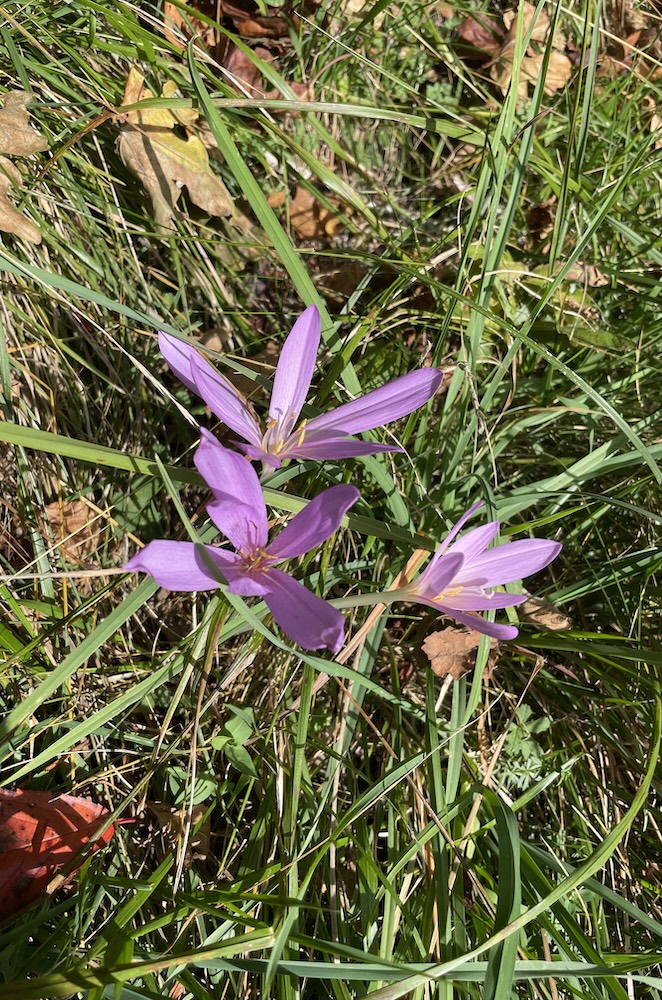
Two alternatives then present themselves. The easiest route arrives at Ballo della Gallina to the west, also equipped with a fountain, after which it turns east, into Val Brevenna. The more "difficult" route instead points to the ridge to the north-east and follows it along its entire length.
We recommend this second choice to those who want to deviate from the usual path. In any case, the two paths will meet at Costa della Gallina, the ridge that divides Val Brevenna from Val Pentemima, the highest point of the trip.
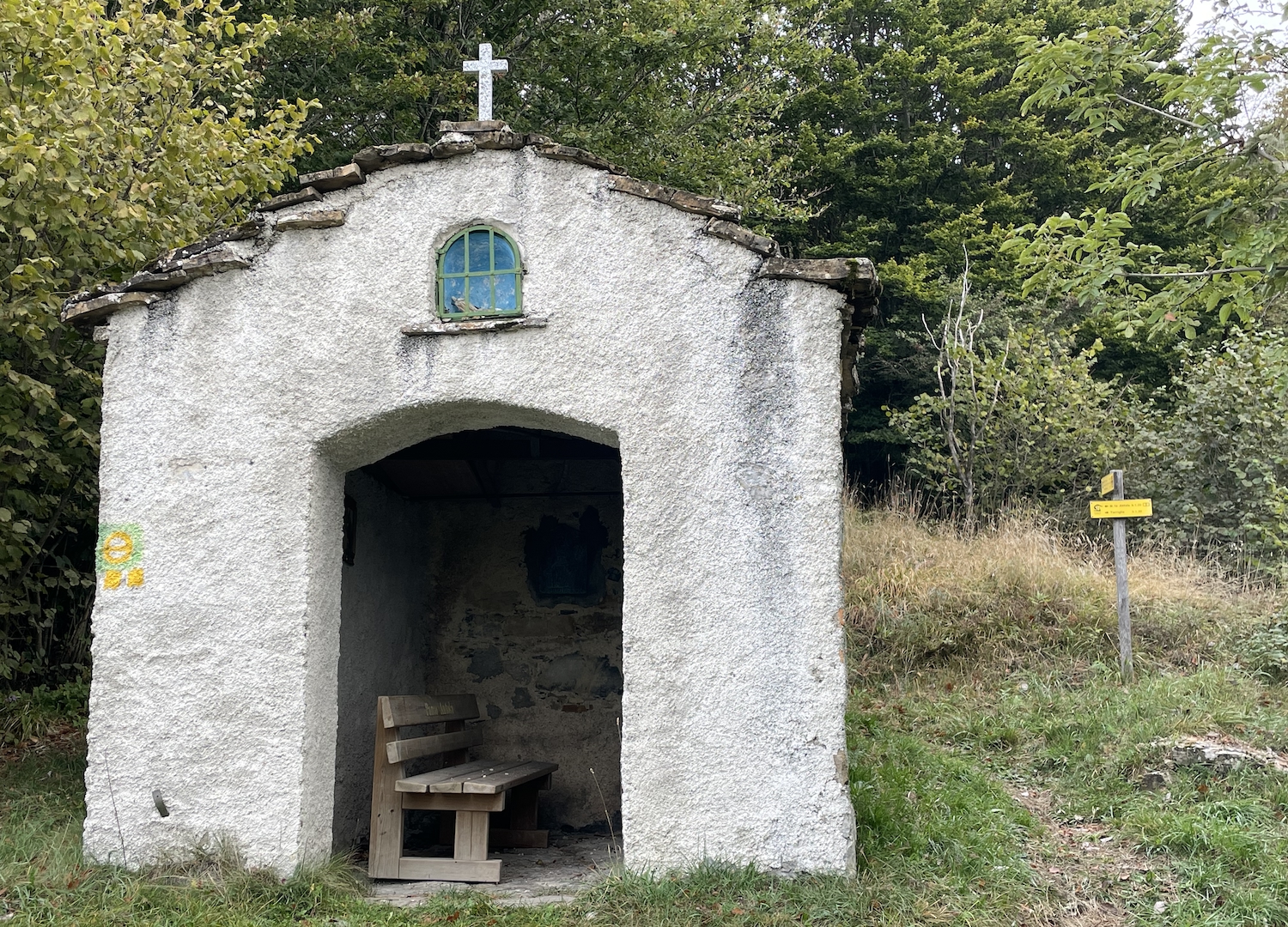
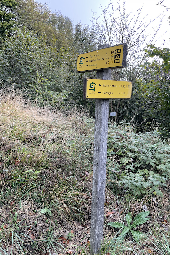
Continue until the Colletto chapel, and then begin to descend towards Buoni di Pentema, a small group of houses. From Buoni, where we had lunch in the shade of an imposing hazelnut tree full of fruit (“Buoni” in every sense), we descend towards Pentema using a mule track.
Trekking map
That's all! If you like this text or have any question, leave a comment below.


Comments powered by CComment