Path lenght:
Crego power plant
Ravines of Uriezzo
3 Km
50 mt
Easy
Yes
June
The valley
was completely
covered by the glacier,
from which torrents
and waterfalls
were born.
ANTIGORIO VALLEY, WHERE THE RAVINES ARE ONLY IN NAME
Path lenght: 3 km.
Antigorio valley, where the ravines are only in name
We share the coordinates:
46.247400, 8.330837
(Copy and paste in Google Maps search label)
During the last ice age that occurred 12,000 years ago, the entire Alpine and subalpine landscape was completely different from what we know today.
The Antigorio valley was completely covered by the Toce glacier, from which streams and waterfalls were born which, over the centuries, have eroded the rock, modeling it at will like a skilled sculptor.
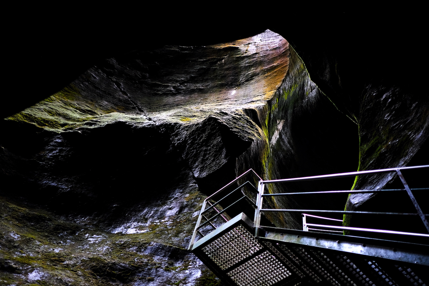
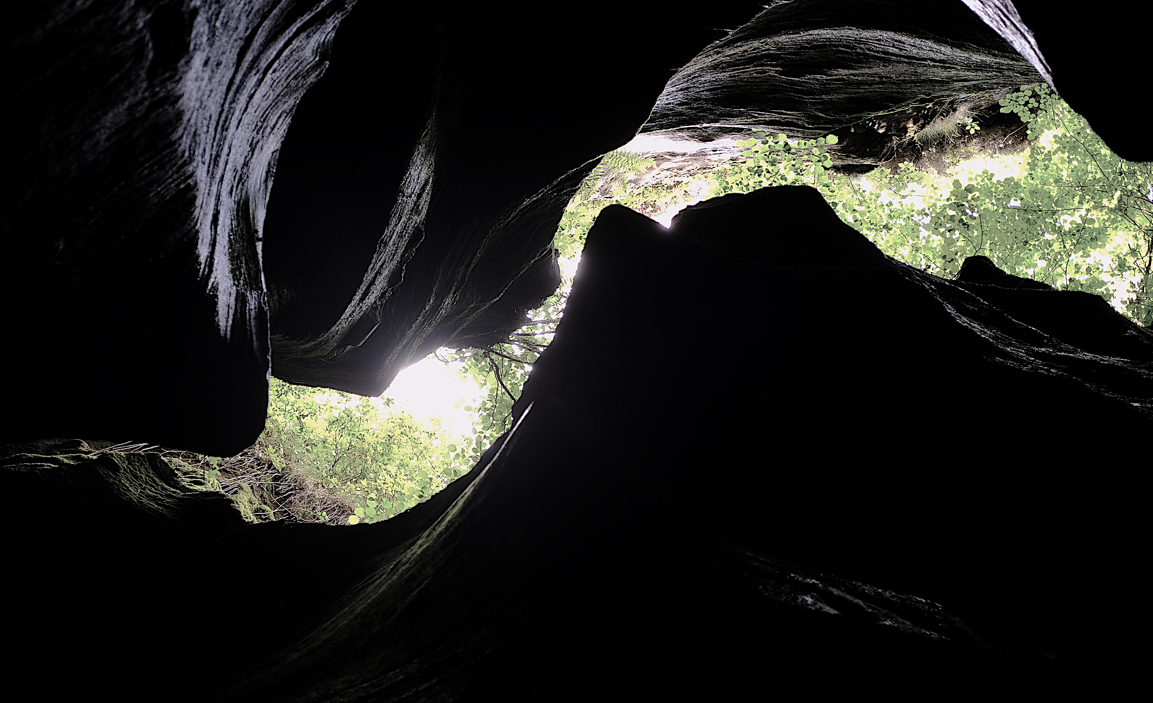
Once the glacier disappeared, its "sculptures" remained, natural works of art such as the winding gorges, the narrow passages and the claustrophobic tunnels, which have nothing to envy to the famous Antelope Canyon.
These spectacular gorges covered with moss are in Uriezzo, along the Toce path, and can be visited on foot practically all year round.
We had chosen the car park in Verampio, near an area reserved for campers and the Crego hydroelectric plant.
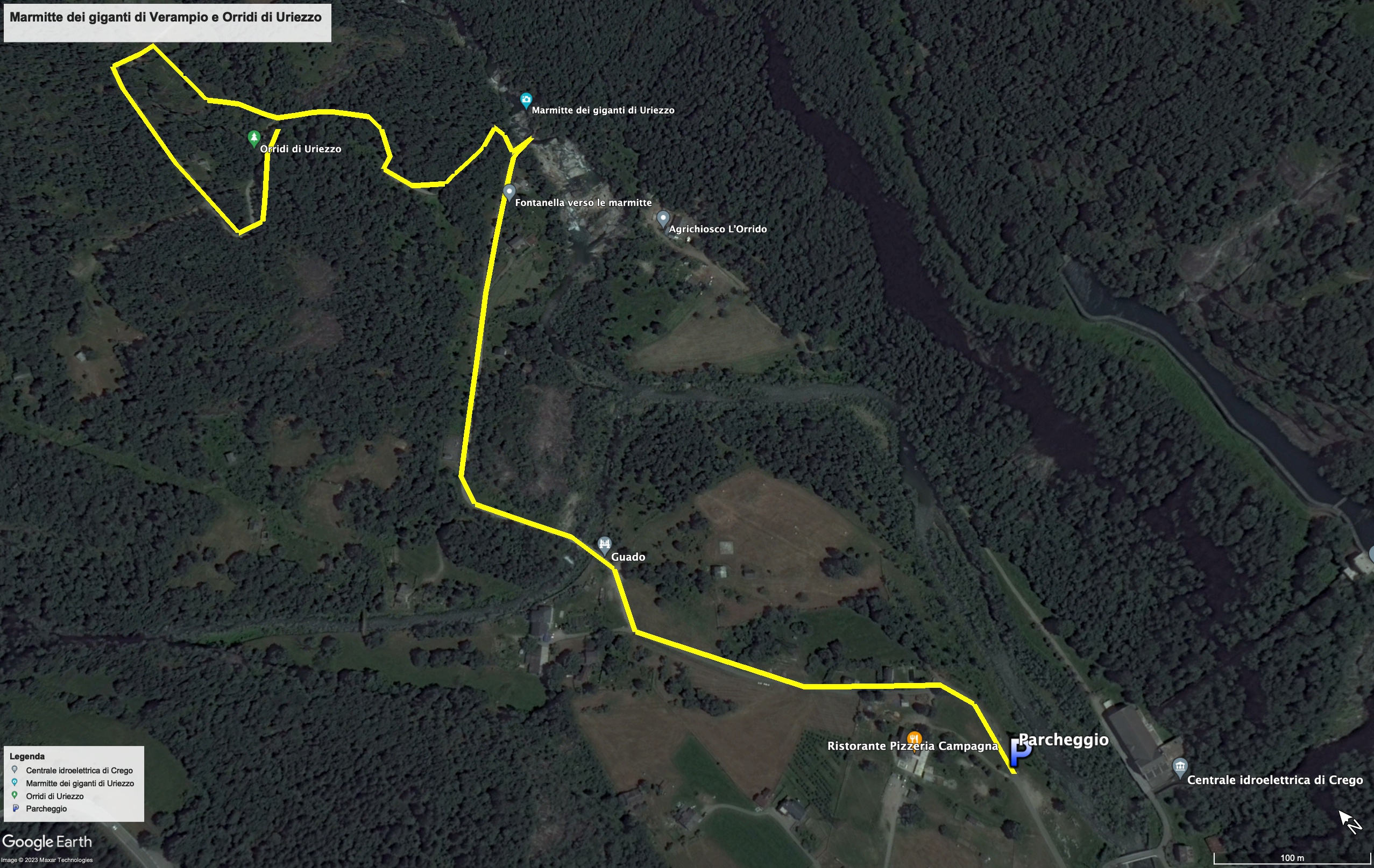
From the parking lot we walked north, on an easy agro-forestry-pastoral road, which brought us a little further on to a crossroads where a bridge can be seen on the right.
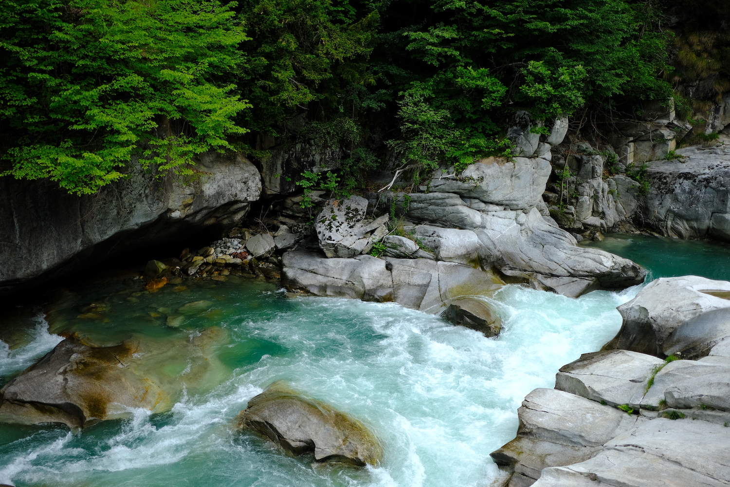
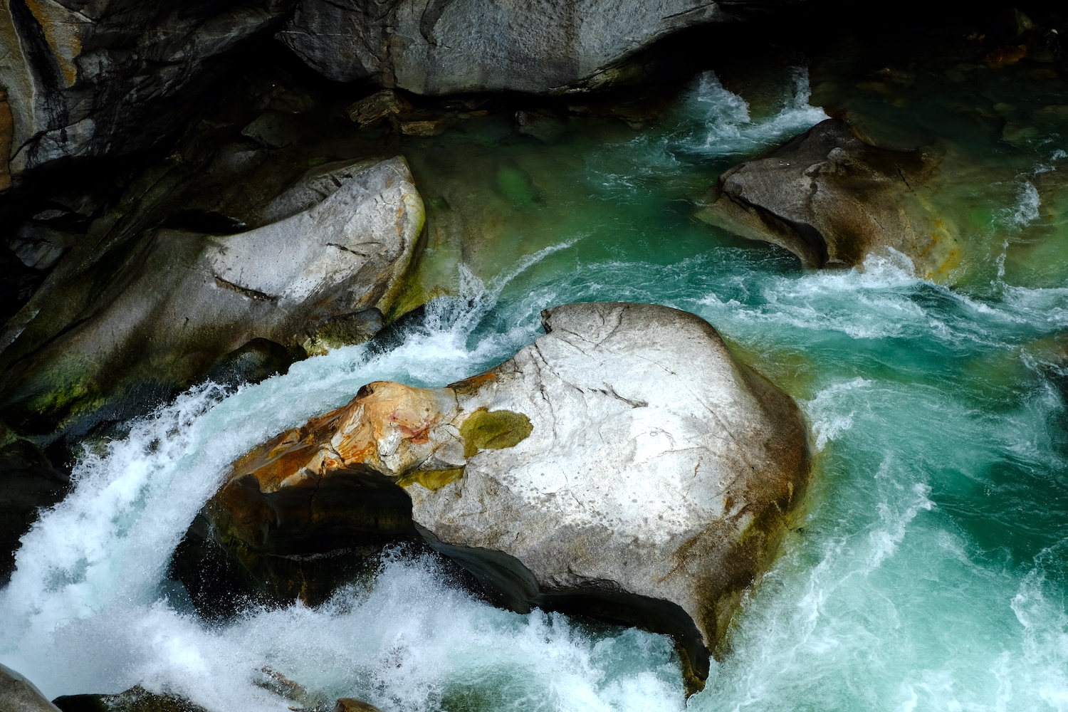
Continuing towards the bridge the temperature of the hot day became cooler and cooler, and the roar of the water stronger and stronger, and once we arrived on the bridge the spectacle of the Toce was superb, with the disruptive water forced to make its way through the very white rocks smoothed by his incessant and centuries-old work.
The natural pools along the river were real potholes of the giants, pools carved into the rock by glacial rivers.
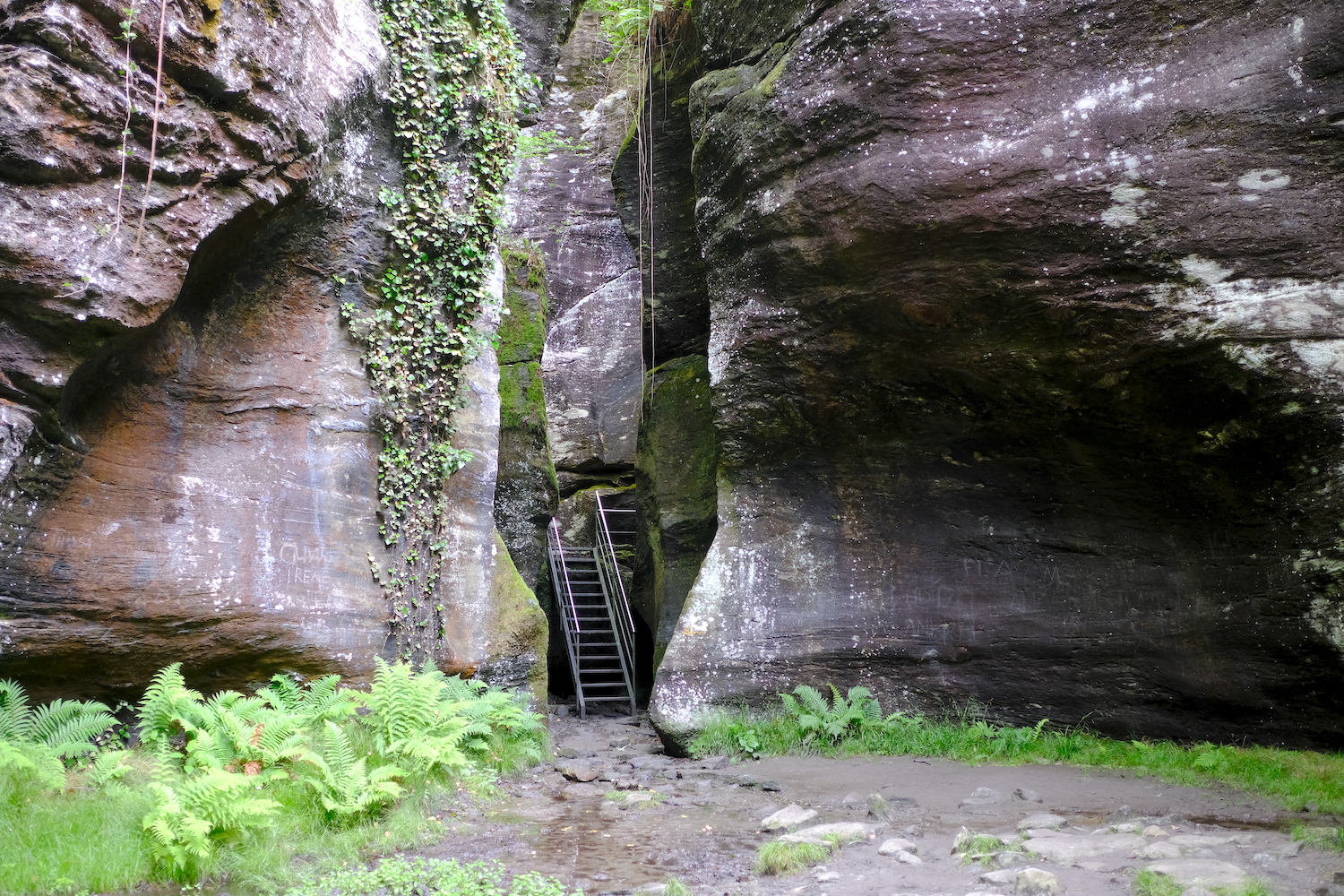
At this point, if you cross the bridge and follow the river southwards you will come to a small beach; the more daring can try a swim during the summer (the water temperature is very low), while if you return to the crossroads and continue on the road you will reach the area of the ravines, a landscape that you will hardly find in the entire Alpine chain.
On the way back from the trip, we recommend stopping at the historic Crodo dairy, where you can taste and buy exquisite Ossola delicacies, such as meats and mountain cheeses. You can also make a stop at the nearby bakery, which prepares the characteristic bread with raisins and authentic Walser loaves.
Trekking Map
That's all! If you like this text or have any question, leave a comment below.


Comments powered by CComment