Path lenght:
Alpe Cheggio
Opposite side of the lake
6 Km
300 mt
Medium
Yes
June
In this picturesque
valley it is possible
experience slow tourism
slow, breathing
pure mountain air.
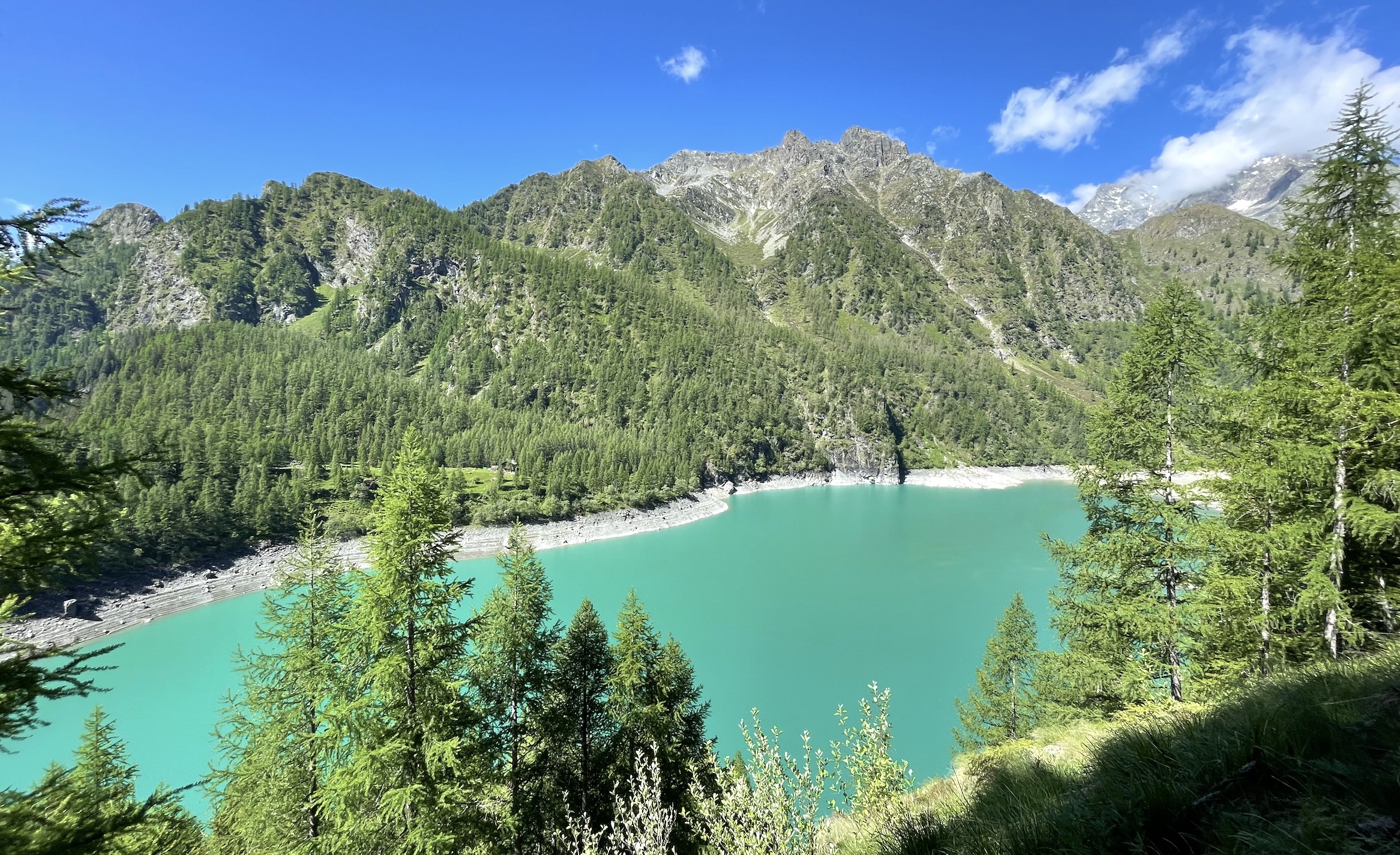
ALPE DEI CAVALLI, THE MEETING OF THE BLUES
Path lenght: 6 km.
Alpe dei Cavalli lake, the meeting of the blues
We share the coordinates:
46.087537, 8.113615
(Copy and paste in Google Maps search label)
In this article we want to propose a simple route in the natural park of the Antrona valley, one of the Ossola valleys closest to Switzerland.
In this picturesque valley it is possible to experience slow tourism, breathing pure mountain air, surrounded by fir forests that are reflected in spectacular lakes.
The starting point of this circular hike was Alpe Cheggio, a Walser hamlet in the municipality of Antrona Schieranco, unmistakable due to the ancient 17th century oratory which has a pointed orange bell tower.
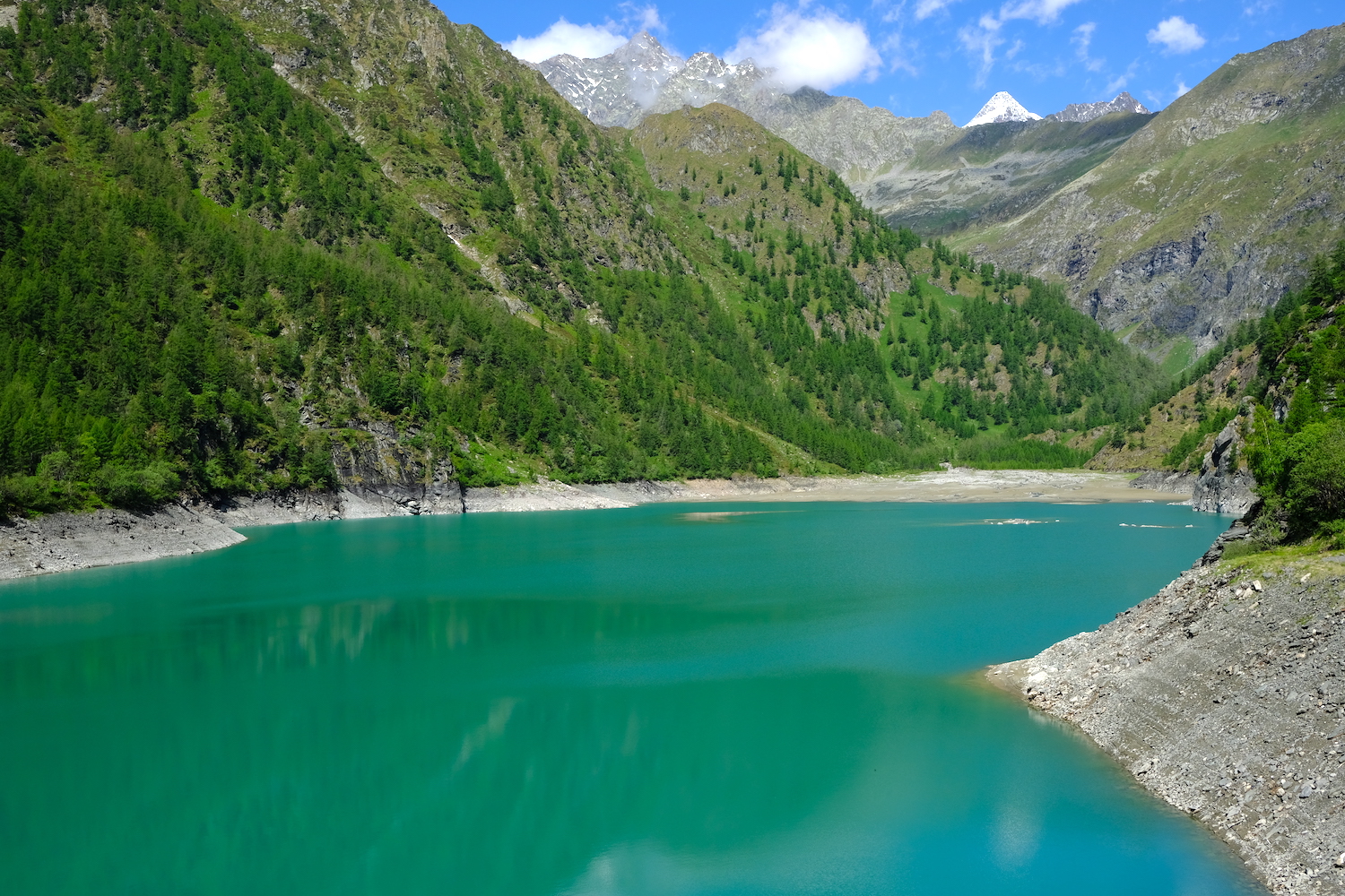
A little further on there was the large, stepped dam that was built between 1922 and 1926, which contains the magnificent alpine lake.
For those who want to enjoy a whole day of relaxation by the lake, it is advisable to pass the dam and take the low path that runs alongside it, up to its tributary, where there are many large boulders to use as a picnic table.
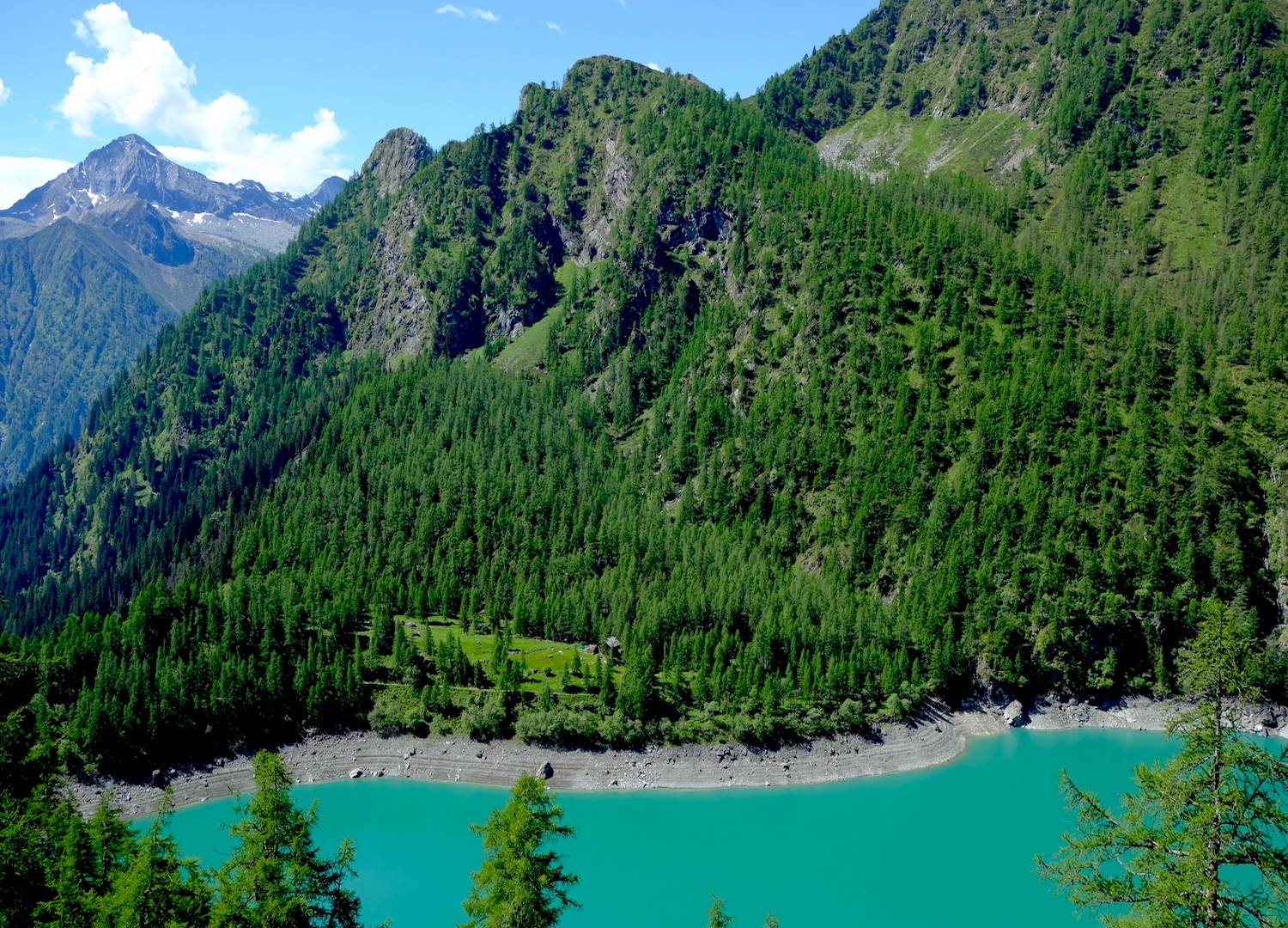
For those who want to enjoy an unparalleled view but with some extra effort, we recommend taking the path following the sign indicating "around the lake", which climbs up into the woods on the right before the dam.
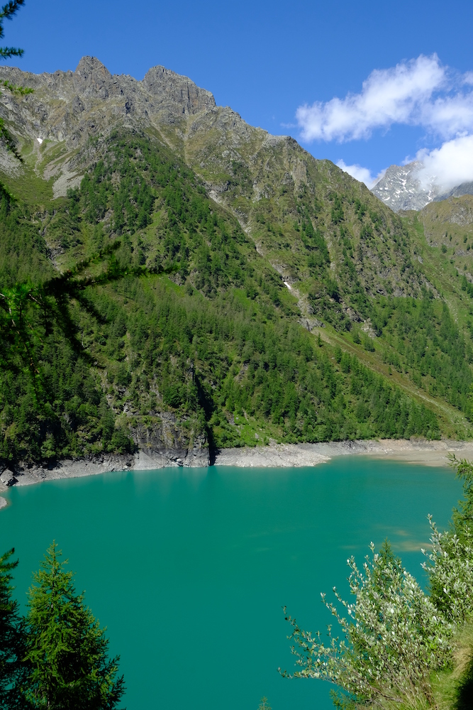
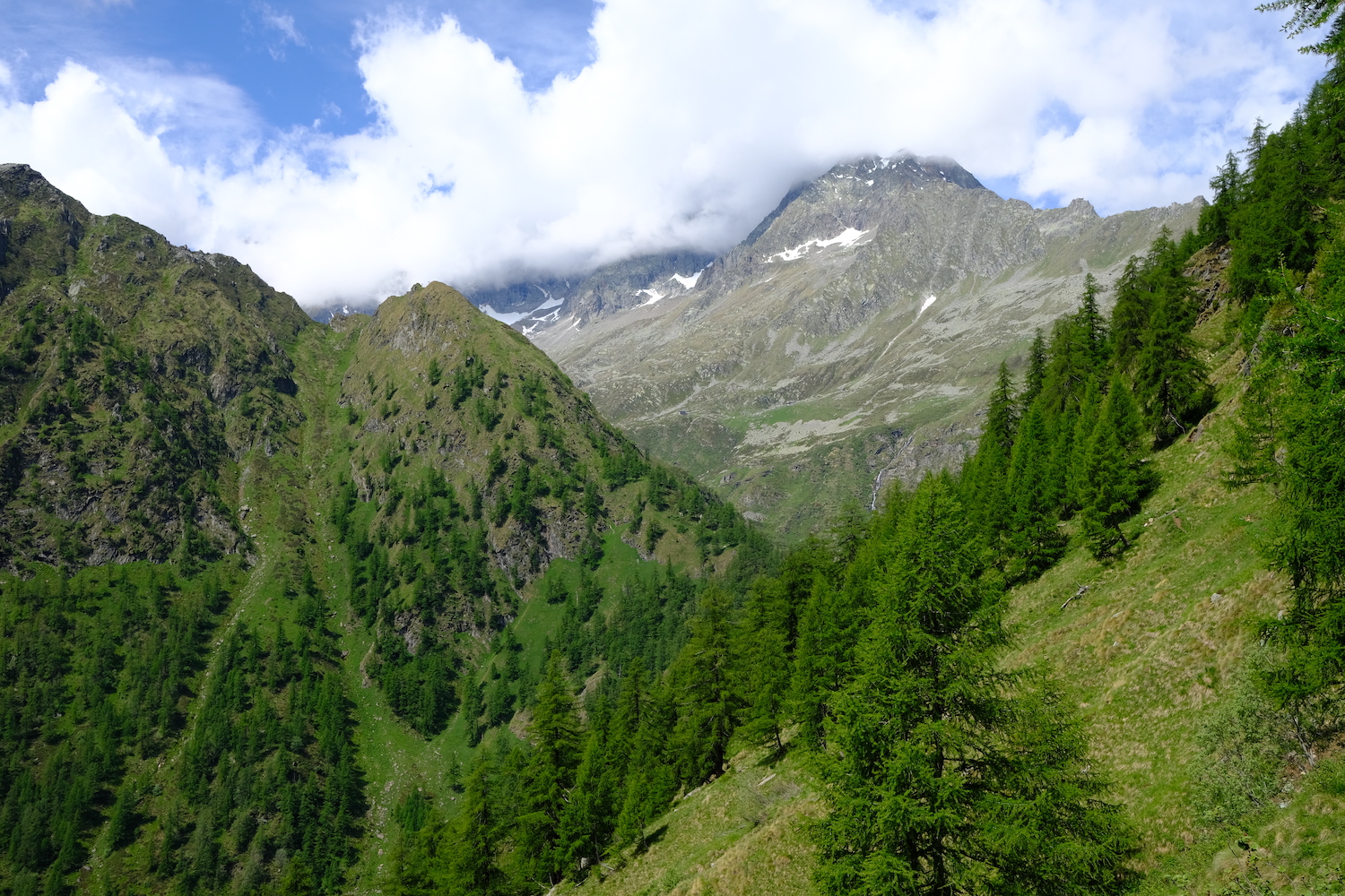
We chose this solution, and when we reached altitude, we had no more words: the blue sky of the day, from so high, seemed to dive into the turquoise lake, surrounded by green uncontaminated forests. From up there it was easy to understand why the Walsers chose to settle in these parts.
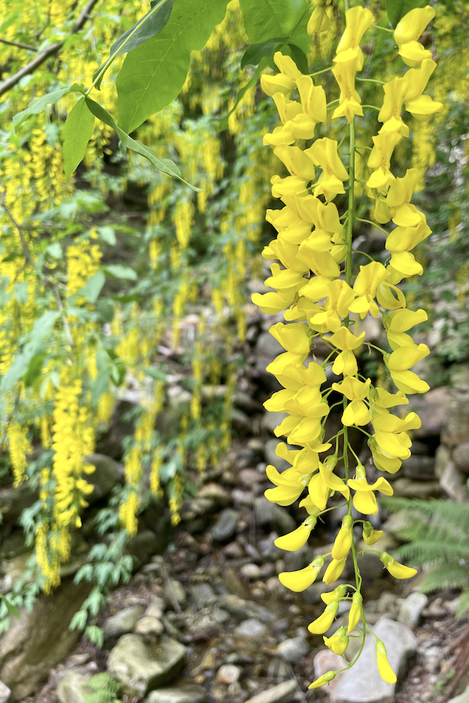
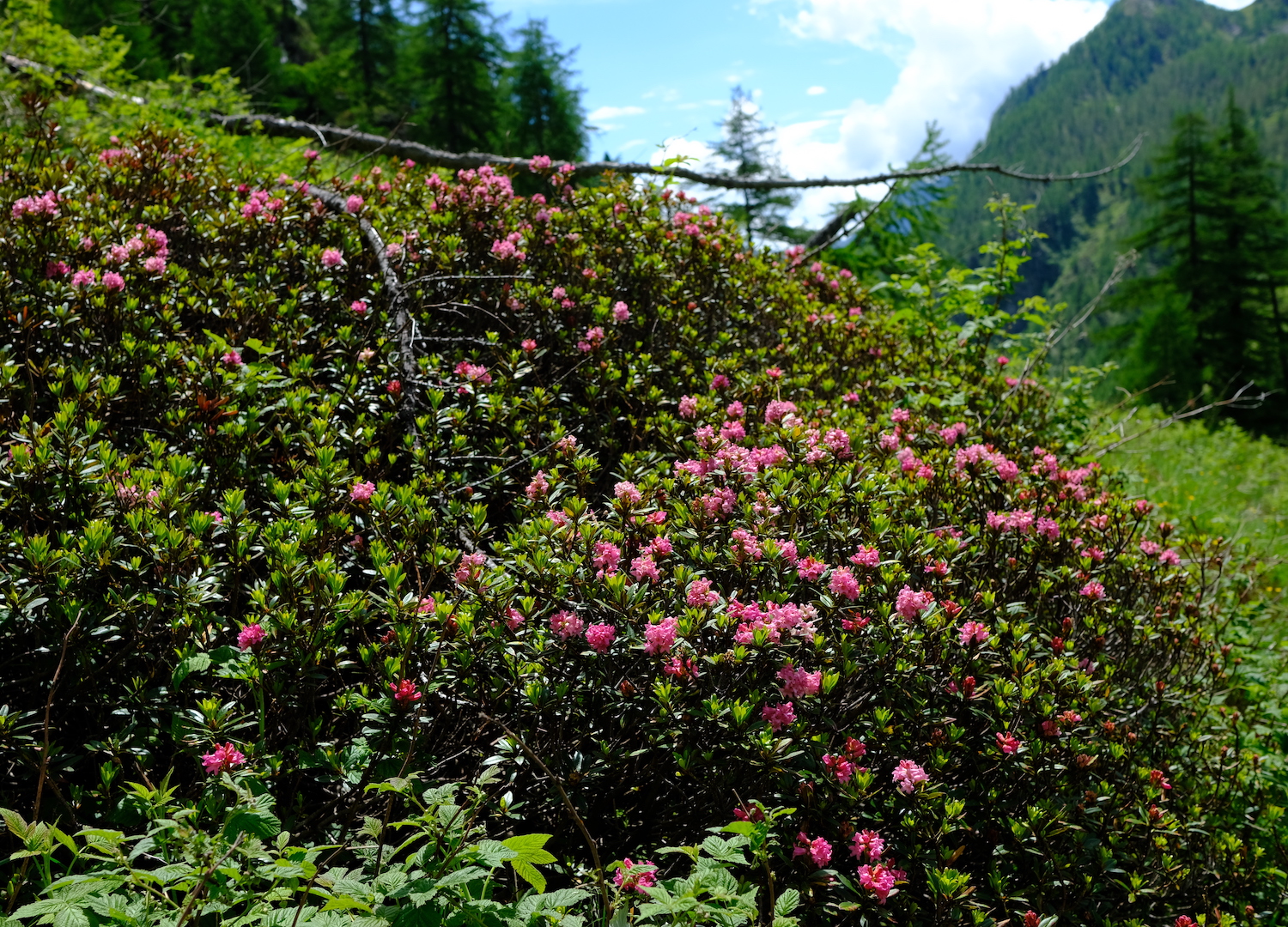
After a few shots we continued observing some blooming rhododendrons well in advance (the exceptional heat of 2022 will remain in the annals), an elusive chamois in the clearing and many butterflies that fluttered free in the wind.
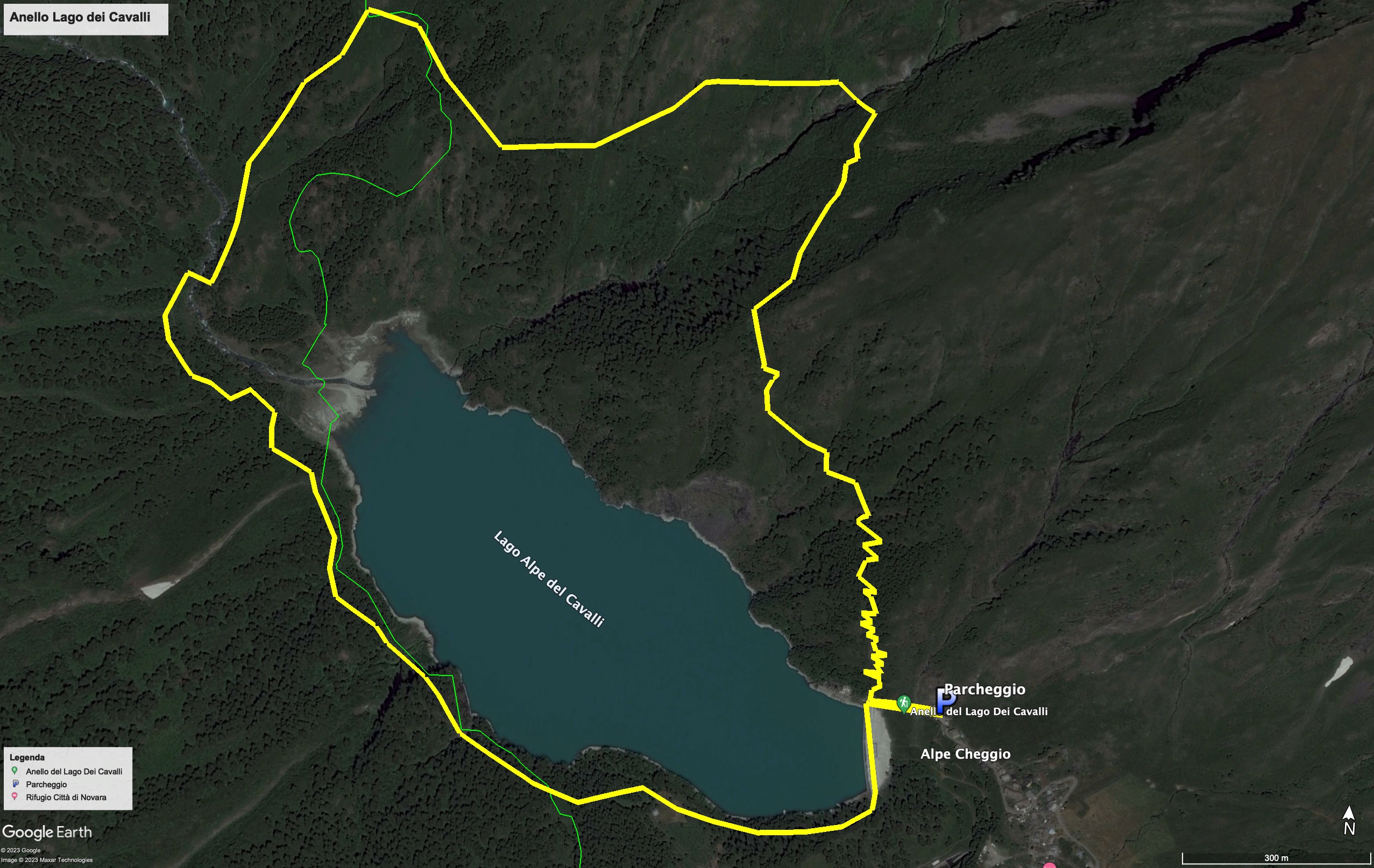
Following the path we arrived at a crossroads bearing the signs to return to the altitude of the lake, and close the beautiful loop.
Trekking Map
That's all! If you like this text or have any question, leave a comment below.


Comments powered by CComment