Path lenght:
Sestri Levante
300 mt
7 Km
Easy
No
April
From the church we
then reached the
scenic Wayfarer's Path,
which connects
Lavagna to Sestri Levante
ALONG THE CRÊUZE TO SESTRI LEVANTE
Path lenght: 7 km.
Along the Crêuze to Sestri Levante
We share the coordinates:
44.305838, 9.346550
(Copy and paste in Google Maps search label)
In this article we propose a non-binding trip that we took at the end of April, on a day following a rainy day, where the scents of wet flowers flooded the narrow lanes, in Genoese dialect crêuze, flanked by pastel-colored houses and fields of olive trees.
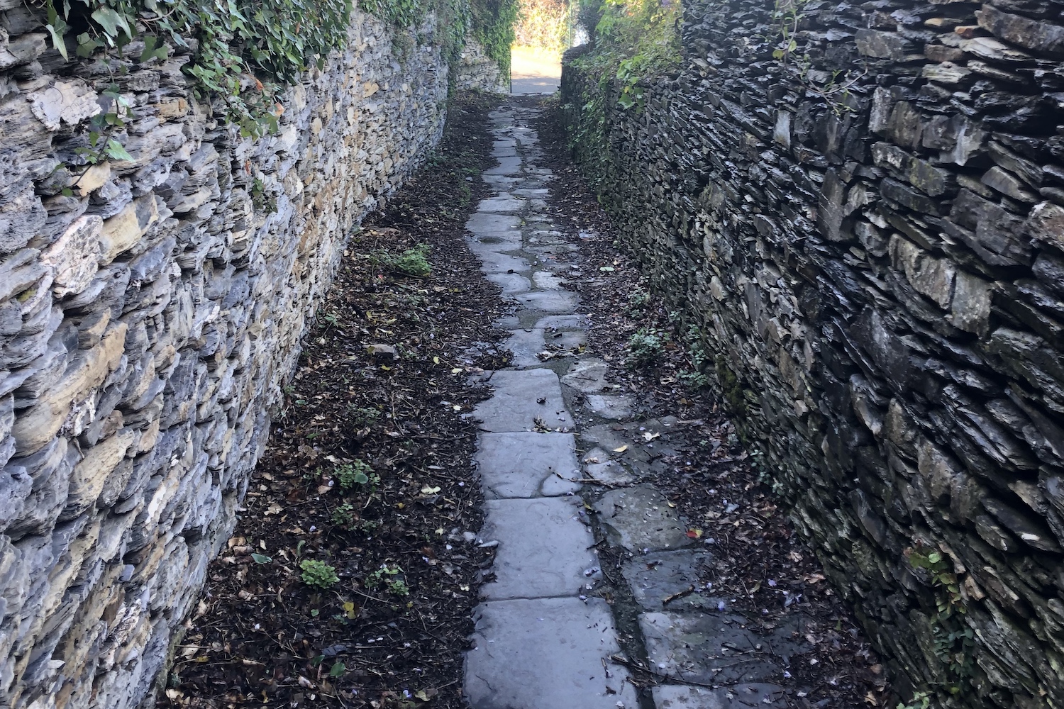
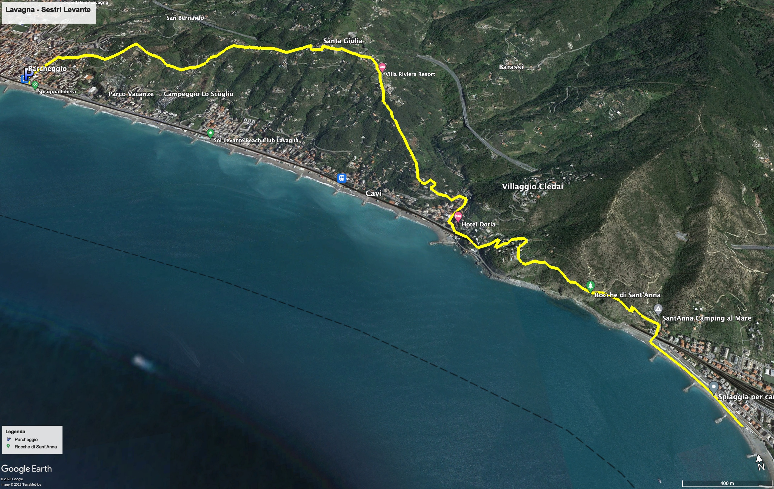
The route starts from the Lavagna railway station and continues in the central Corso Giuseppe Mazzini up to the point where you turn right into via Tedisio and immediately after into via Monte, a crêuza flanked by stone walls.
At the end of the road we took the S. Benedetto path, where a red arrow is painted on the wall before a small gate.
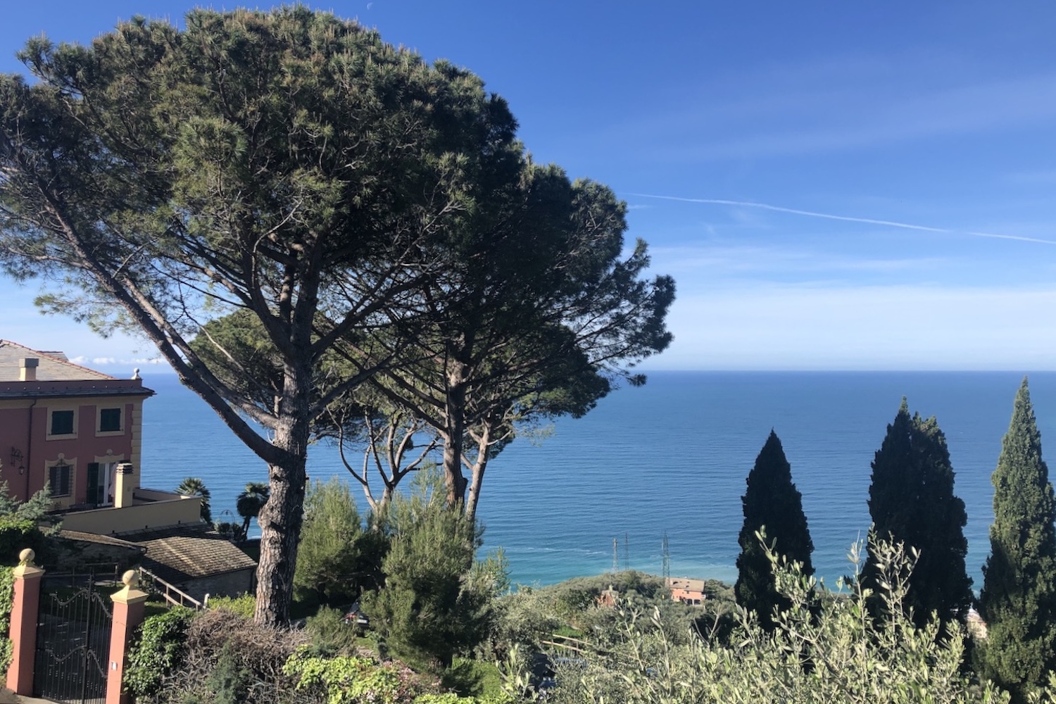
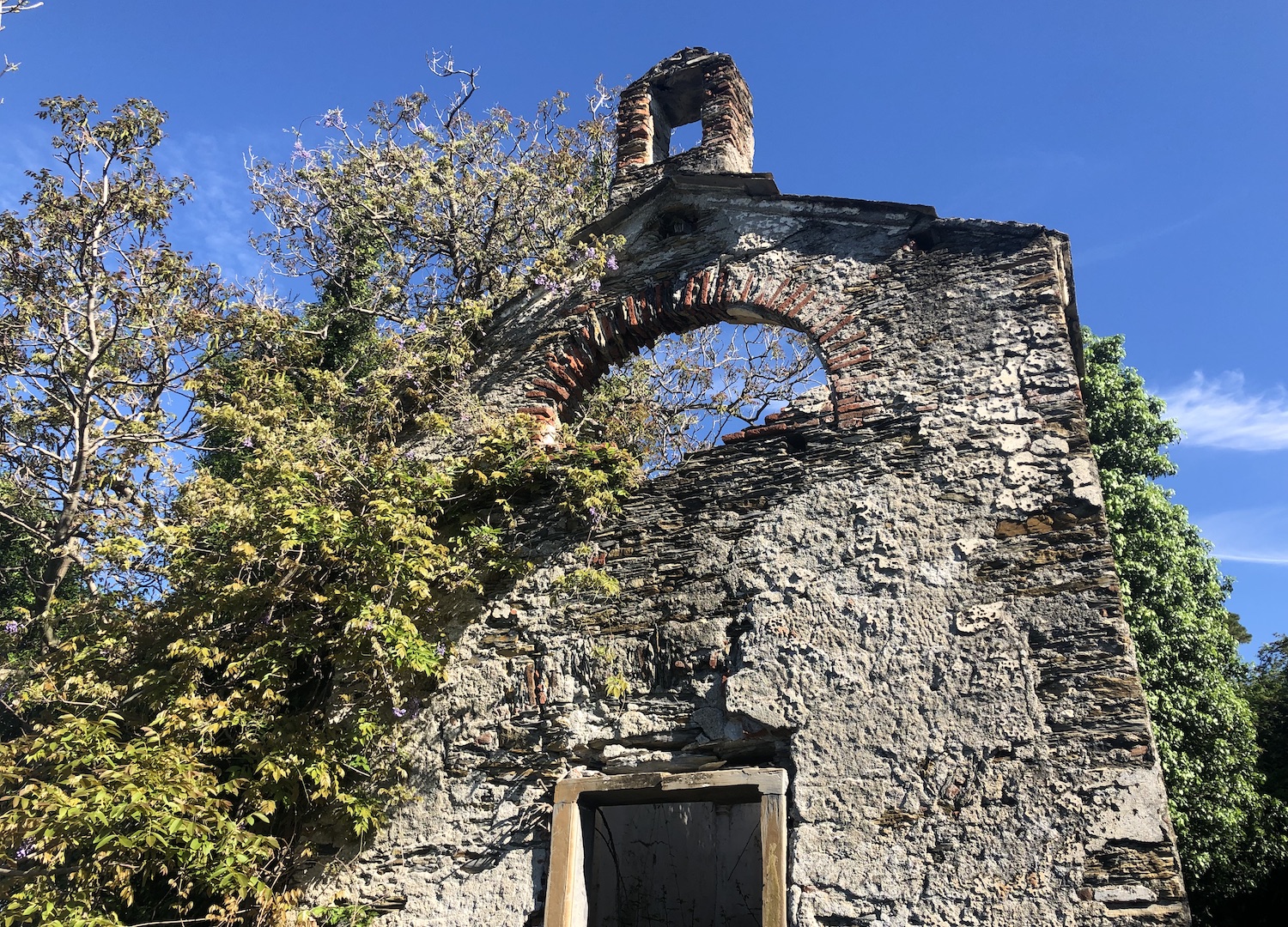
The typical Ligurian road continued uphill until it reached a staircase that led to via Rigone, immersed in a rural area, and finally we reached the parish of Santa Giulia with its wonderful Mediterranean panorama, where we stopped in the shade.
From this point we descended until we reached the small seaside village of Cavi, from which the pedestrian street of S. Anna starts, marked by a sign with a brown background.
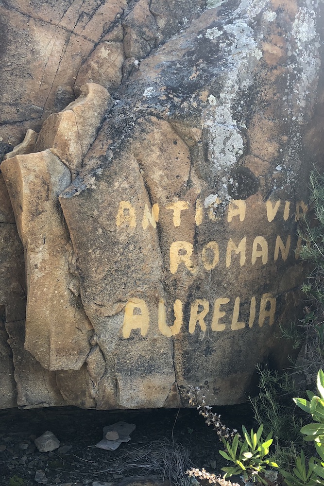
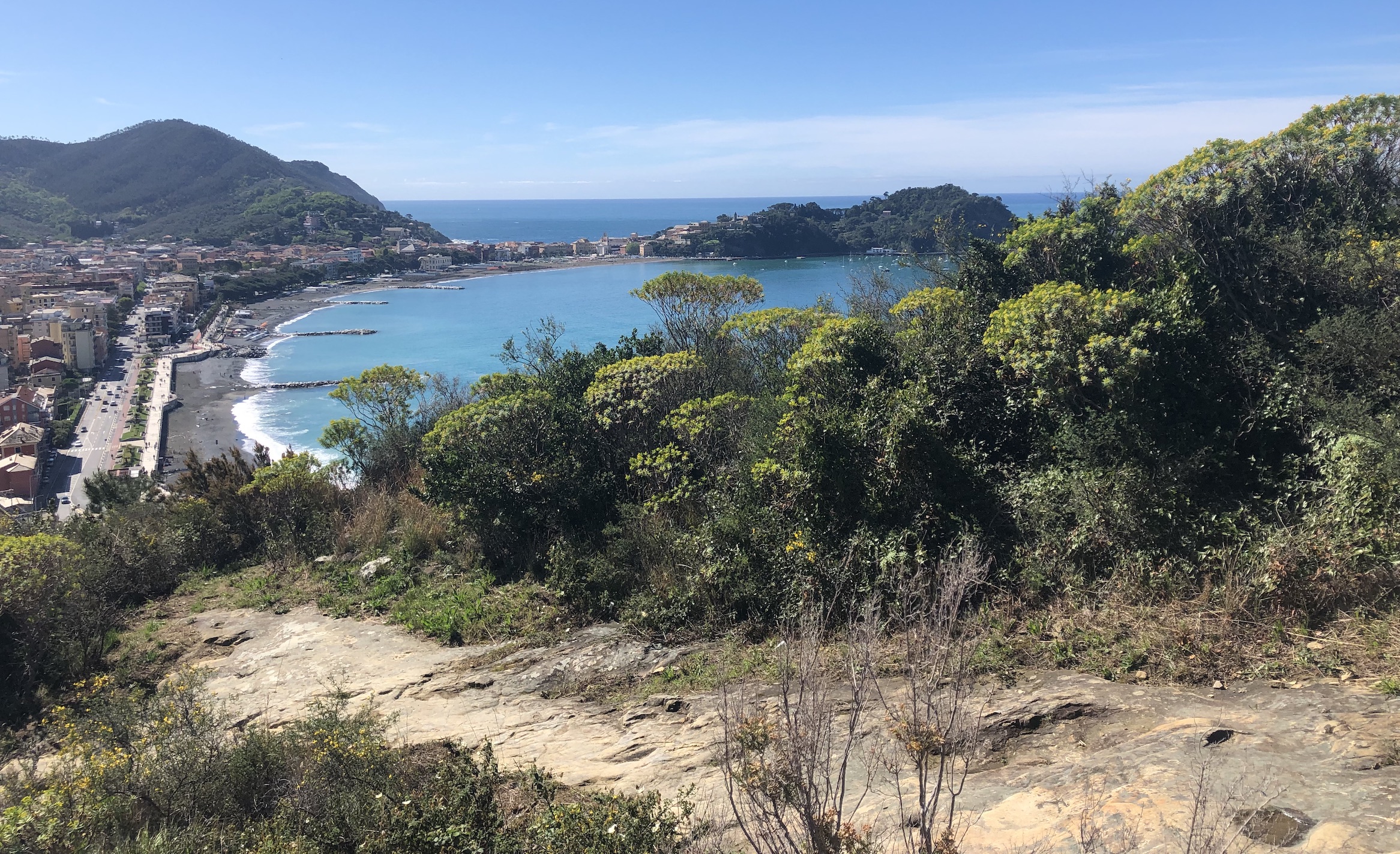
After walking along it for a while, we reached the scenic path of the wayfarer, which connecting Lavagna to Sestri Levante, passes through the Rocche di Sant’Anna, and for a while walks along the ancient Roman Aurelia road.
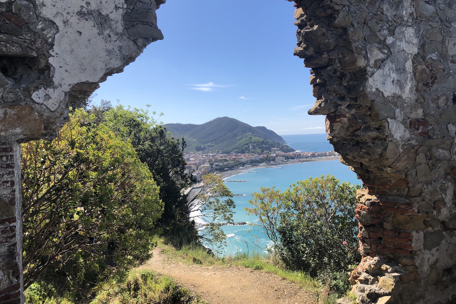
Here the view is breathtaking, from which you can enjoy the colors of the sea and the bay of Sestri Levante.
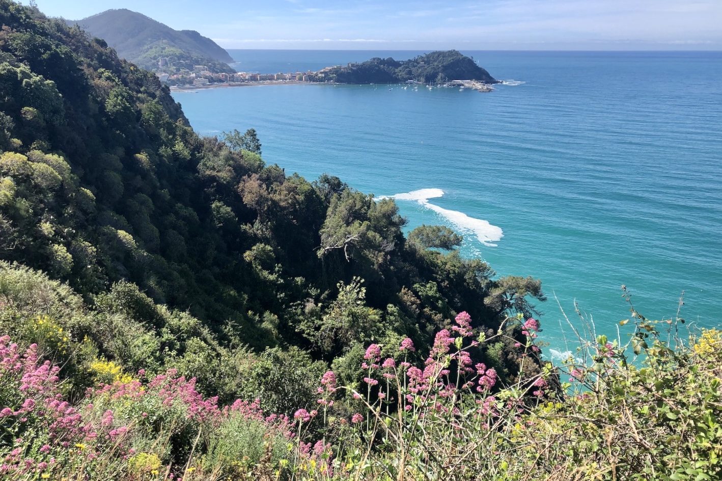
After having imprinted this beautiful glimpse in our memory, we went down to Sestri Levante, where we rested and refreshed ourselves on the beach with our faces illuminated by the friendly spring sun rays.
Trekking Map
That's all! If you like this text or have any question, leave a comment below.


Comments powered by CComment