Path lenght:
Pian del Curlo, Arenzano
Mount Tradia
12 Km
600 mt
Medium
No
February
A winter walk on the Ligurian side of Beigua, admiring the sea.
ABOVE ARENZANO
Above Arenzano
We share the coordinates:
44.413266, 8.669777
(Copy and paste in Google Maps search label)
Useful information:
The route is to be avoided in the summer season due to the heat.
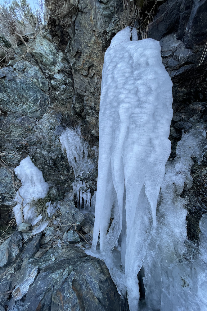
For those who want to do the excursion after a snowfall, we strongly recommend carrying ice crampons in your backpack.
Curiosity:
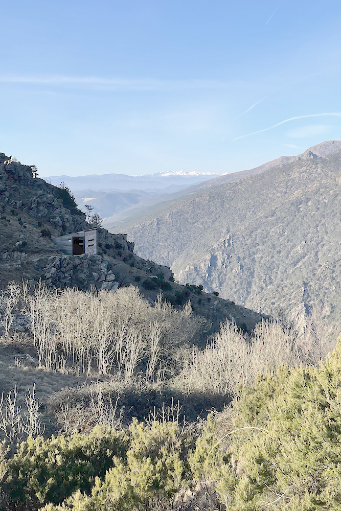
This area is located on the migratory route of some birds and birds of prey such as storks, hawks, kestrels and lesser eagles, so birdwatchers will be able to witness the passage of various species.
For those who want to delve deeper into this topic, please refer to the official website of the Beigua park.
The Beigua natural park is once again the splendid setting for this route, which we recommend doing practically all year round, paying attention to the hottest summer days and those after snowfall due to the possibility of encountering ice along the way.
The path we propose starts from Pian del Curlo, an equipped area which can be found by following the signs for the "Agueta du Sciria" restaurant, where it is possible to have a picnic or barbecue.
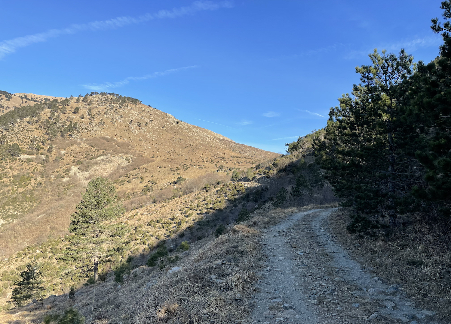
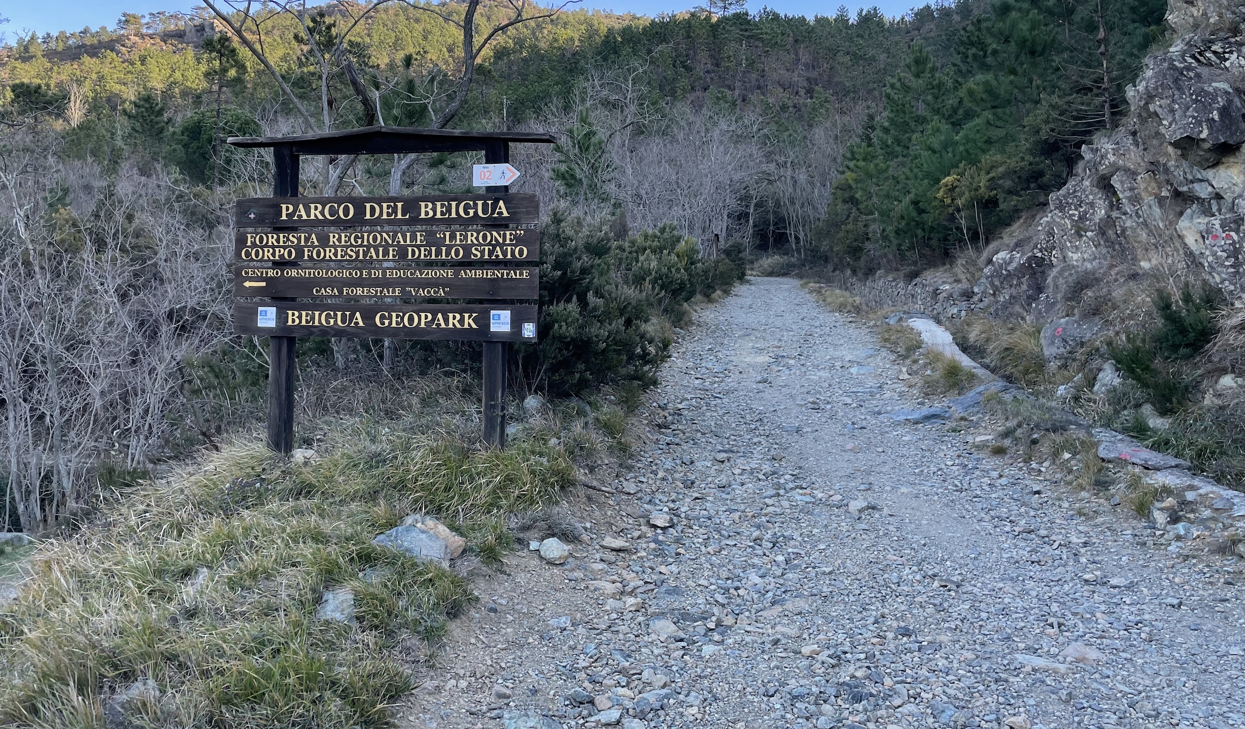
Once past the barrier, the wide path begins to climb and you enter the area of the Lerone state forest, where the shrubs and trees are typical of the Mediterranean scrub. This area belongs to the slopes of the Beigua park which face the sea, and are characterized by harsh environments where sparse Mediterranean vegetation emerges from the meadow areas that were once mown.
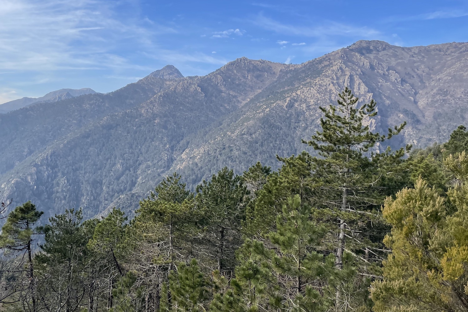
In spring it is possible to encounter the fragrant daphne, symbol of the park, and as previously mentioned it is a good observation point to witness the passage of birds and birds of prey.
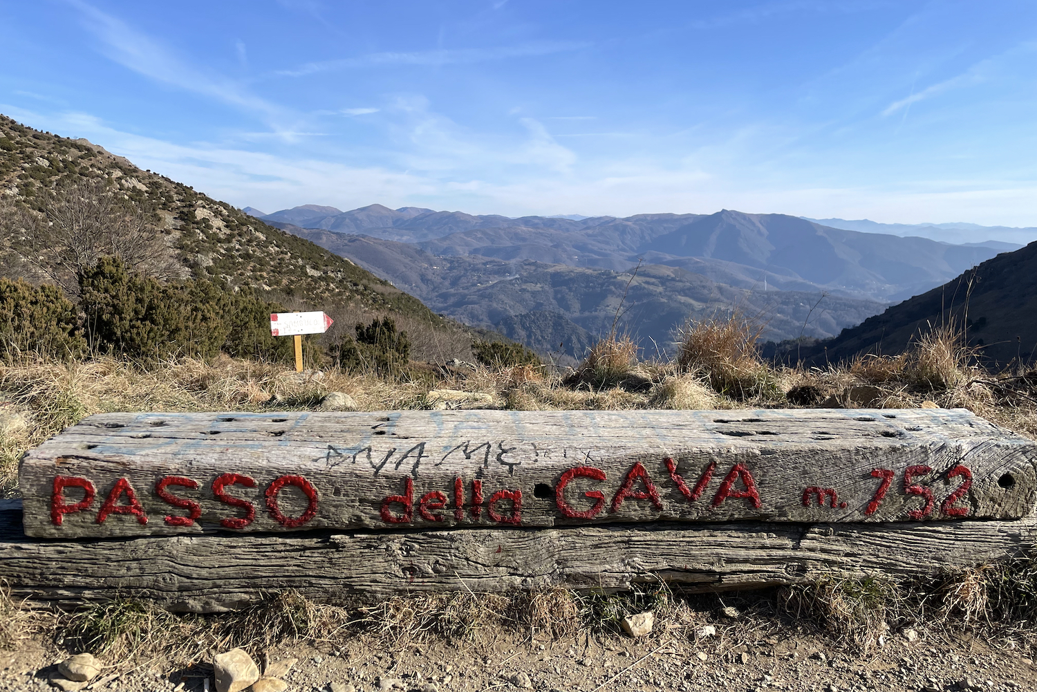
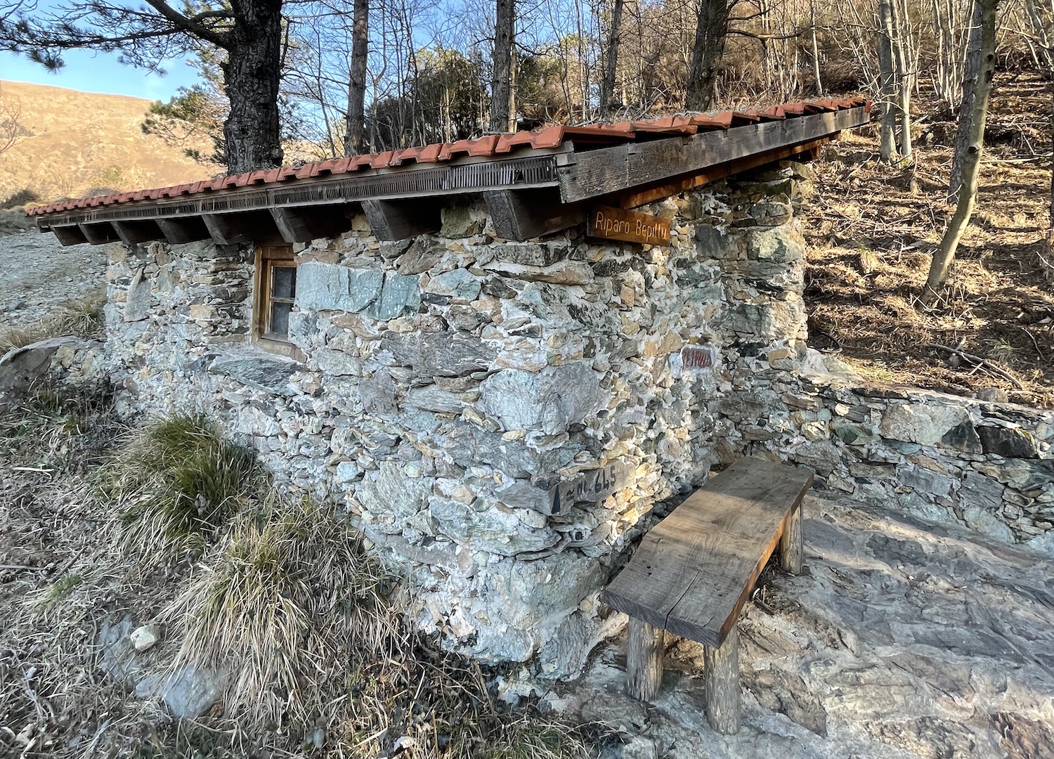
After passing a shelter, the road continues to climb until reaching the Gava pass, the main crossroads of the itineraries that connect to Voltri, the Faiallo pass and the Stura valley side. What was once a busy street used by traders who transported goods on the back of mules, today is a pleasant excursion away from the chaotic Riviera, where at a slow pace you can find the mental energy to better face the week to come.
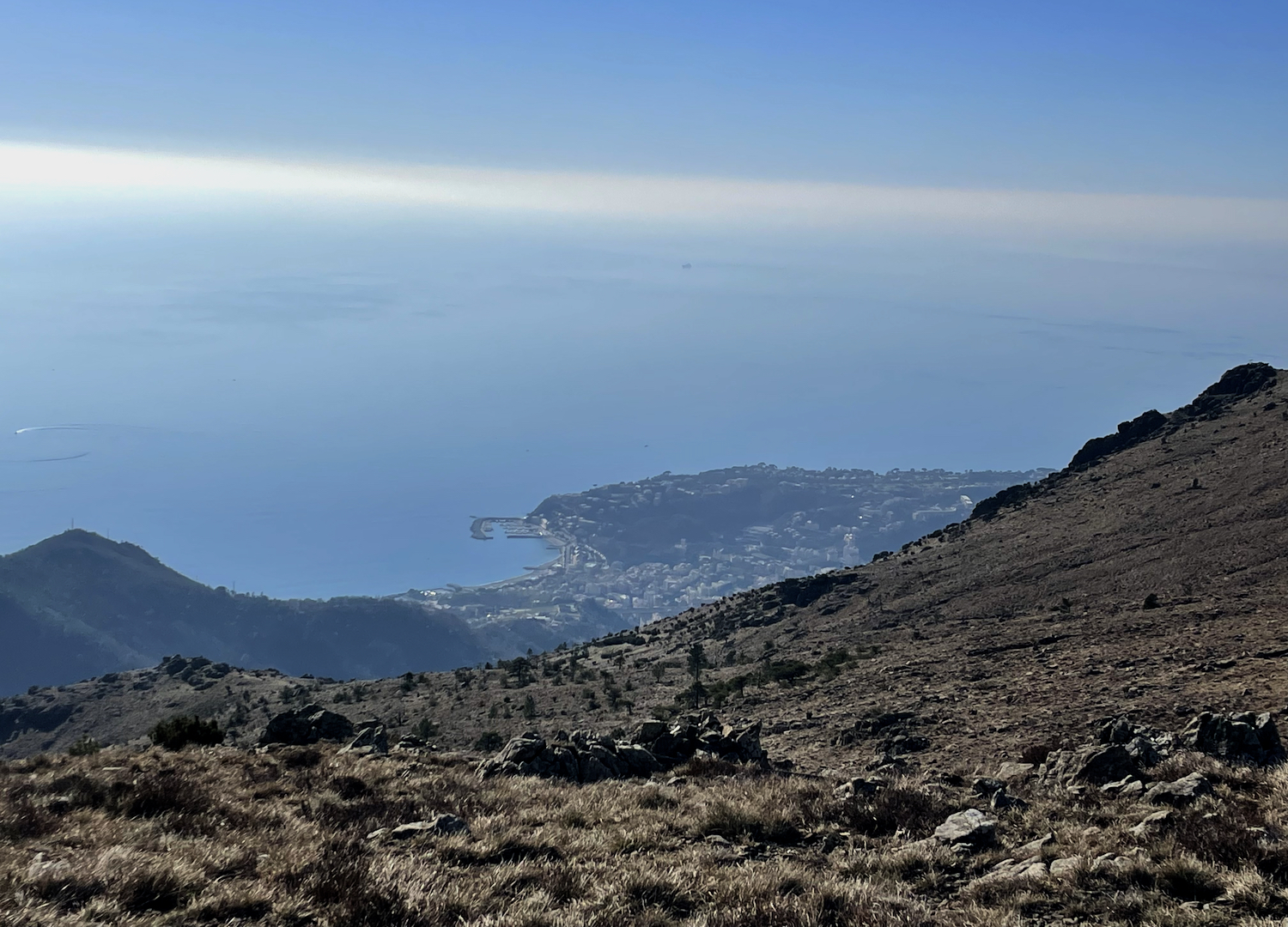
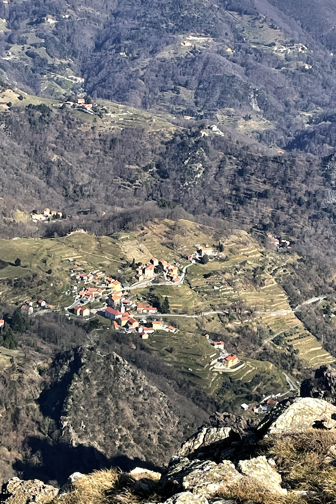
After a brief stop on the wooden bench of the Gava pass, we took the path on the right and went up the ridge that leads to Mount Tardia, from which you can enjoy a splendid view of the Gulf of Arenzano and the small inland village of Sambuco, which those with a sweet tooth will certainly find interesting because it is home to the historic Sambuco pastry shop.
The return towards Pian del Curlo is the same as the outward journey.
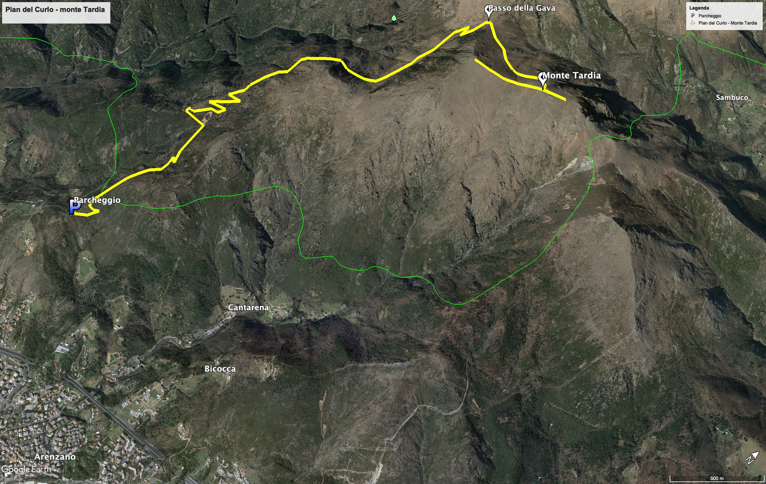
Trekking map.
That's all! If you like this text or have any question, leave a comment below.


Comments powered by CComment