Path lenght:
Cicogna
Pogallo
6 Km
100 mt
Easy
No
June
...At the command of
his trustees Valdossola
Brigade, they besieged
the fascist Fascist
garrison at Fondotoce...
ONCE UPON A TIME THERE WAS POGALLO
Path lenght: 6 km.
Once upon a time there was Pogallo
We share the coordinates:
46.002904, 8.491097
(Copy and paste in Google Maps search label)
Early June, 1944.
The refuge of the partisan formations operating in Ossola was the Val Grande, apparently an impenetrable fortress, an eagle's nest where many acts of sabotage and various raids in the valley against the fascists were planned from the towns of Orfalecchio, Cicogna and Pogallo.
The last noteworthy incursion occurred towards the end of May, when Mario Muneghina, under the command of his trusty Valdossola, besieged the fascist garrison of Fondotoce, sowing panic among the fascists, capturing a few dozen and making a large loot of weapons. and ammunition.
June 11, 1944.
On this date one of the most brutal roundups of the entire resistance began, which saw thousands of Nazi-fascists (some estimates speak of 20,000 men, howitzers, planes and tanks) opposing 400-500 poorly armed and starving partisans.
The Nazi-Fascists, under the command of Major Ernst Weis, surrounded the entire Val Grande from north to south, preventing any escape route, and subsequently broke through the weak defensive lines of the Casletto and Velina bridges.
Captain Dionigi Superti and his men did not realize what was happening due to the fragmentary information available in the field, but they understood the gravity of the situation only a few days later, when the enemy fire manifested itself in all its brutality.
The two partisan strongholds, Cicogna and Pogallo, fell.
In the general retreat, operated above all during the cold and rainy nights, the Ossola formations attempted to cross the most inaccessible points, such as the Bocchetta di Terza and Alpe Scaredi, to climb towards the Loana valley and salvation, Switzerland.
During the relentless advance the Nazis, also strong of the Alpenjäger, killed or captured any partisan they encountered, set fire to entire villages and pastures, very often raging against the population who had helped the partisans. More than 200 huts and mountain pastures went up in flames.
Some partisans managed to escape by hiding among the peaks or reaching the most distant villages, but most of them died, because almost all those captured were shot.
June 20, 1944.
Massacre of Fondotoce.
43 partisans were shot in Fondotoce as revenge for the wrong suffered a few weeks earlier by the "Valdossola".
There was only one survivor, Carlo Suzzi, who miraculously managed to escape.
June 27, 1944
End of the roundup with the shooting of 9 prisoners in Beura.
June 3, 2022
We left Cicogna under an overcast and threatening sky. Well aware of what happened in June many decades ago, we walked on the mule track swallowed by the forest in complete silence, almost in a sort of respectful procession towards those who gave their lives for freedom.
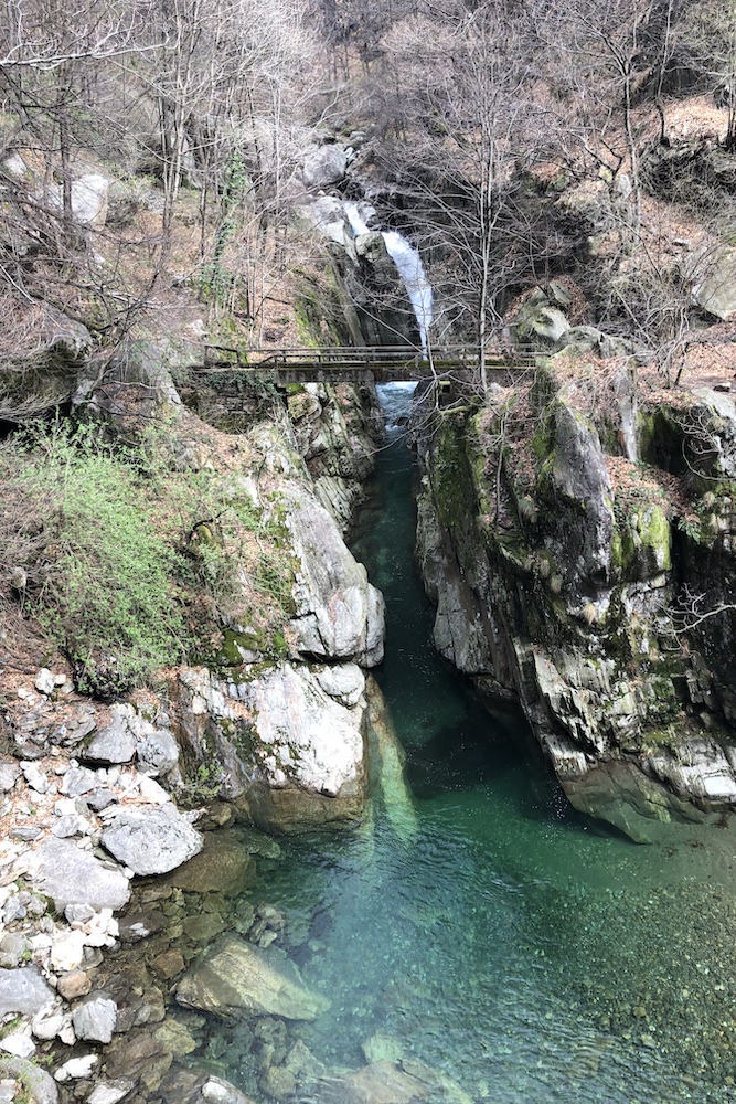
The ingenious mule track, made up of granite slabs superbly anchored to almost vertical walls on the canyon created by the Rio Pogallo, is called the Sutermeister road, and was built by the engineer Karl Sutermeister in the 19th century to exploit the green gold of the Val Grande: the timber.
A network of cableways was also built to transport the timber downstream, which followed the riverbed, powered by a small power plant in Cossogno.
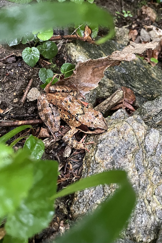
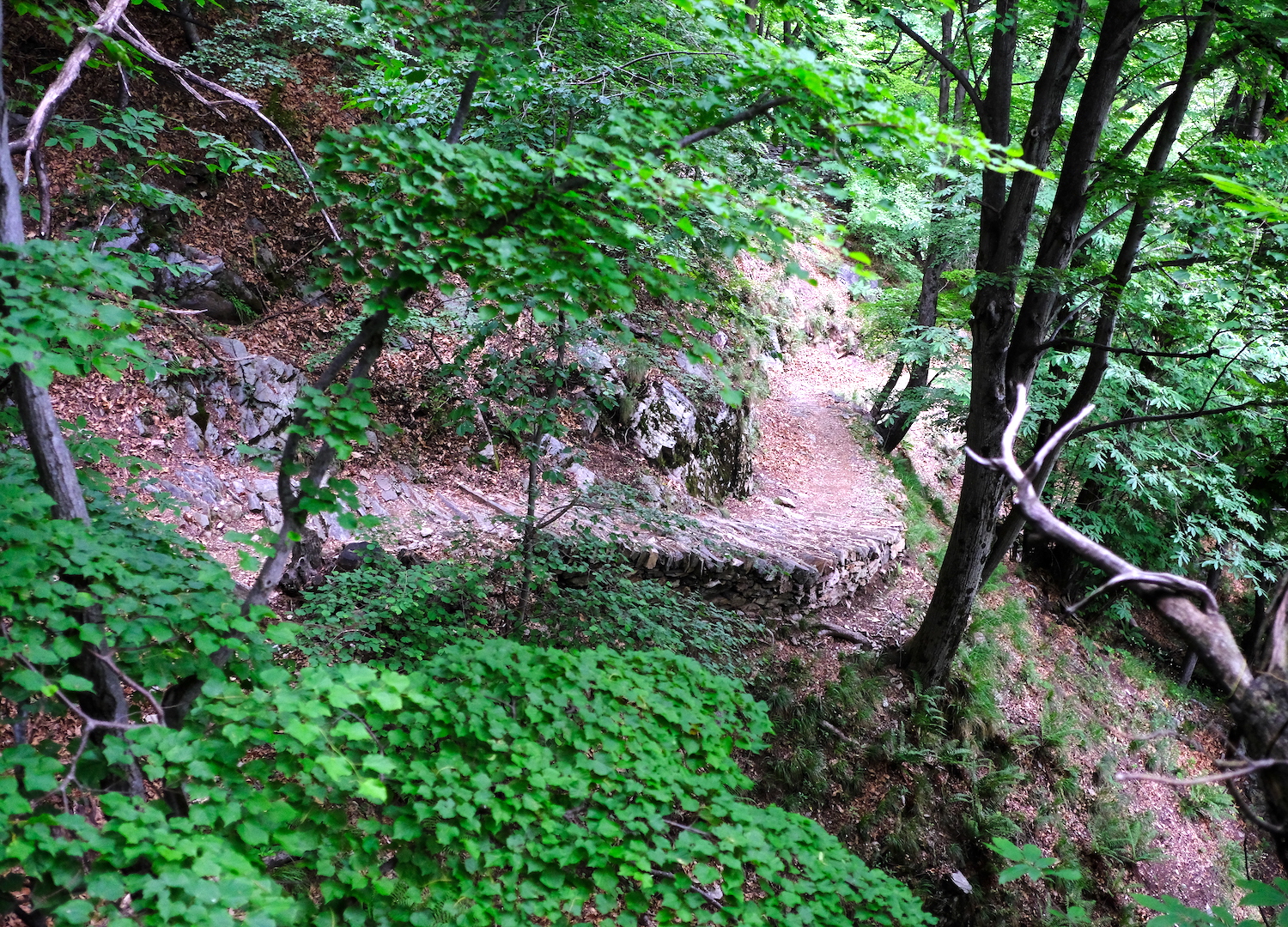
All these places are now a reminder of a distant past, where hundreds of mountain dwellers and woodcutters permanently lived in these areas.
After an abundant hour of walking, we reached Pogallo, whose recent history we have described at the beginning of the article.
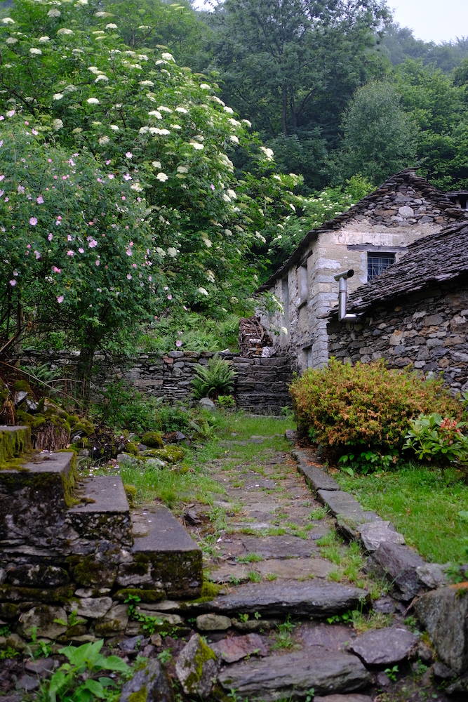
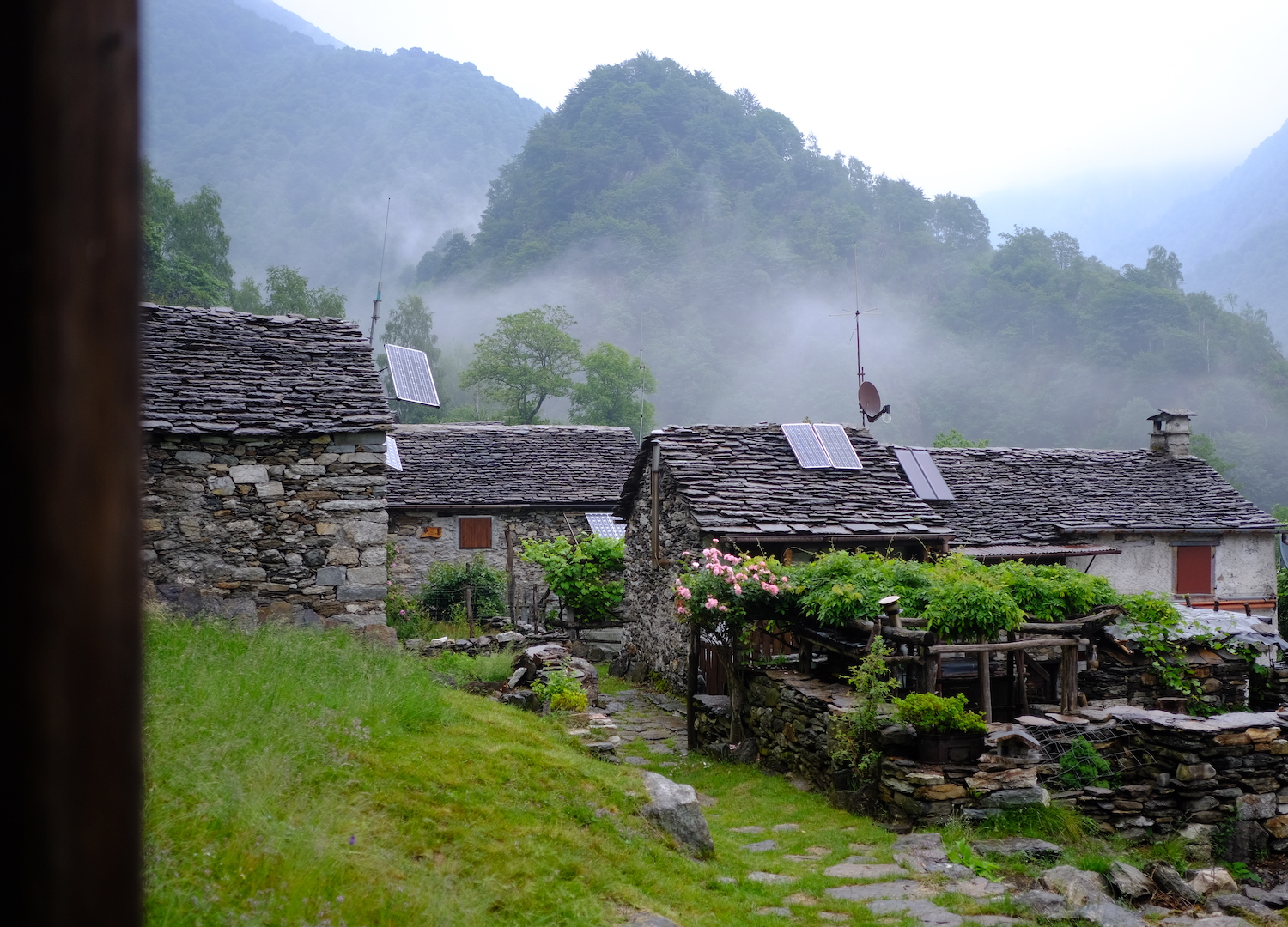
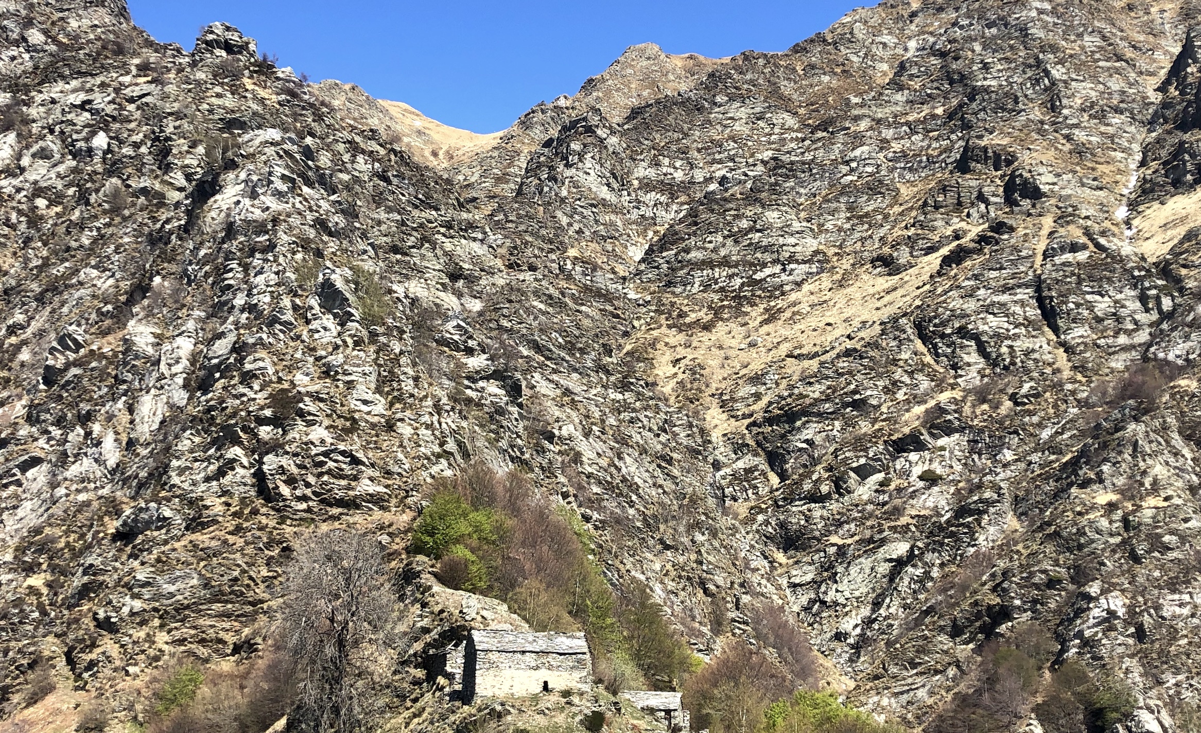
The village stands on a splendid small clearing at the foot of the rugged peaks in the heart of Val Pogallo, the starting point for much more demanding excursions.
Stopping here, we discovered with pleasant surprise that the village is not totally abandoned, with some houses that serve as a summer residence, even powered by solar panels.
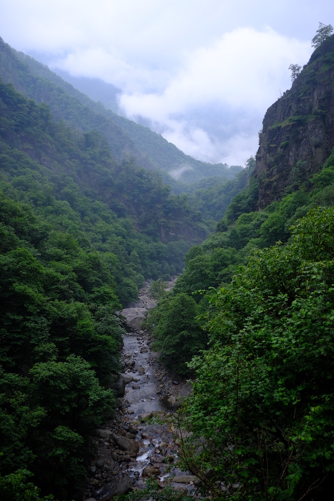

It was time to go back, for thunder could be heard in the distance as the first drops fell to the ground.
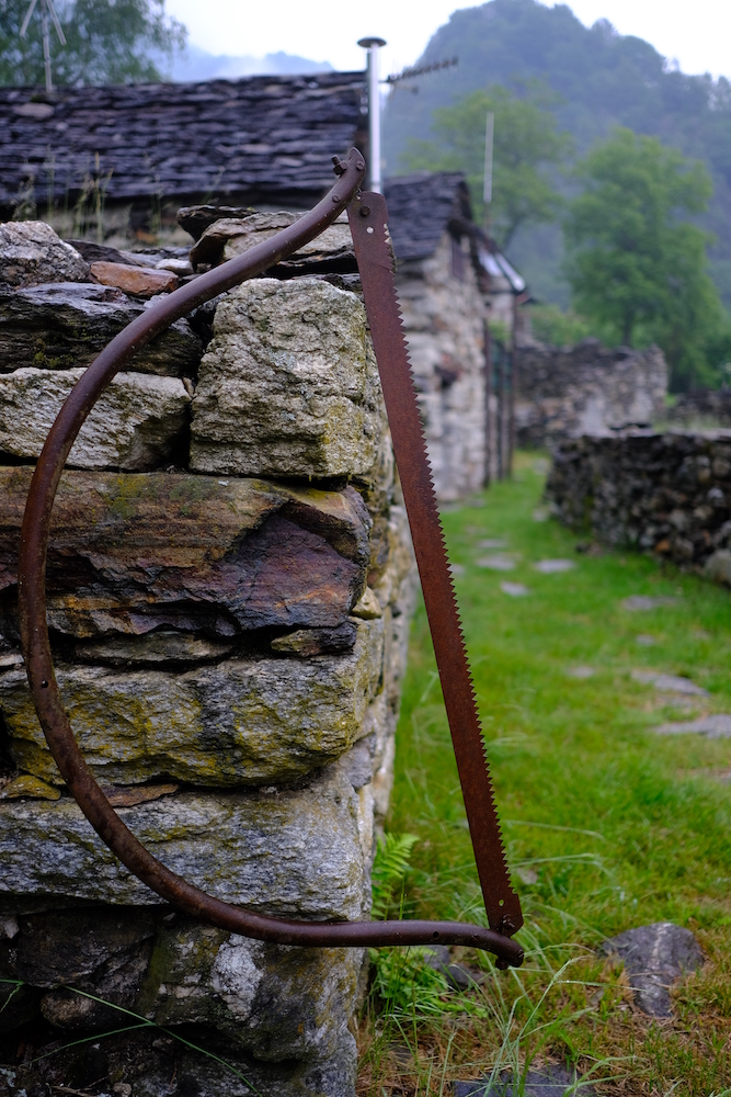
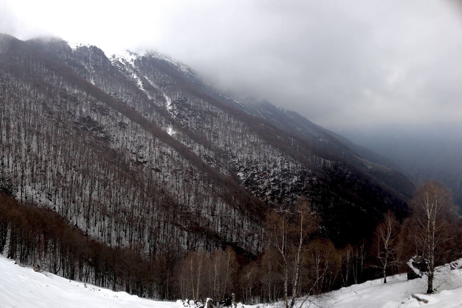
Towards the middle of the path the rain became incessant, but this did not prevent us from taking some photographs that we consider unique, and which portray the same climatic conditions that the partisans found during their desperate escape to safety, suspended above a canyon where a rushing river flowed, between life and death.
Notes for hikers:
It is possible to take a ring tour, much more challenging, if from Cicogna you take the mule track that reaches Alpe Pra (1250 mt above sea level) with its famous coppellato boulder, and from there you continue past the beautiful Casa dell'Alpino, reaching the abandoned Alpe Leciuri (1311mt above sea level) From this point, continue descending towards Pogallo and return along the Sutermeister road described in the article.
Ps:
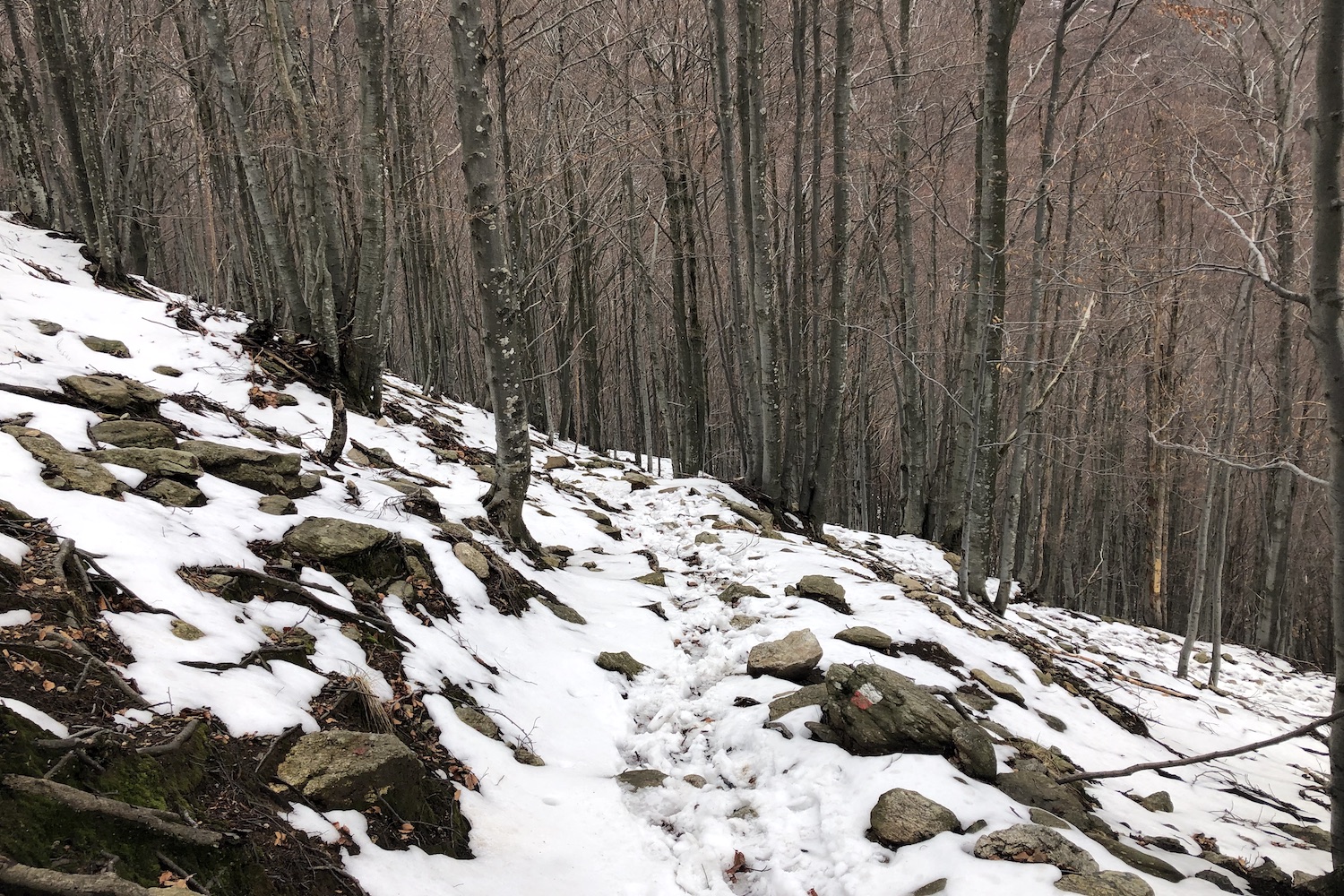
We took this detour with low clouds after a heavy snowfall in April. If you don't know the area, don't be as reckless as we are: go back, because with these conditions it's easy to lose your bearings ...
I giorni della semina, Nino Chiovini
Casa della Resistenza.
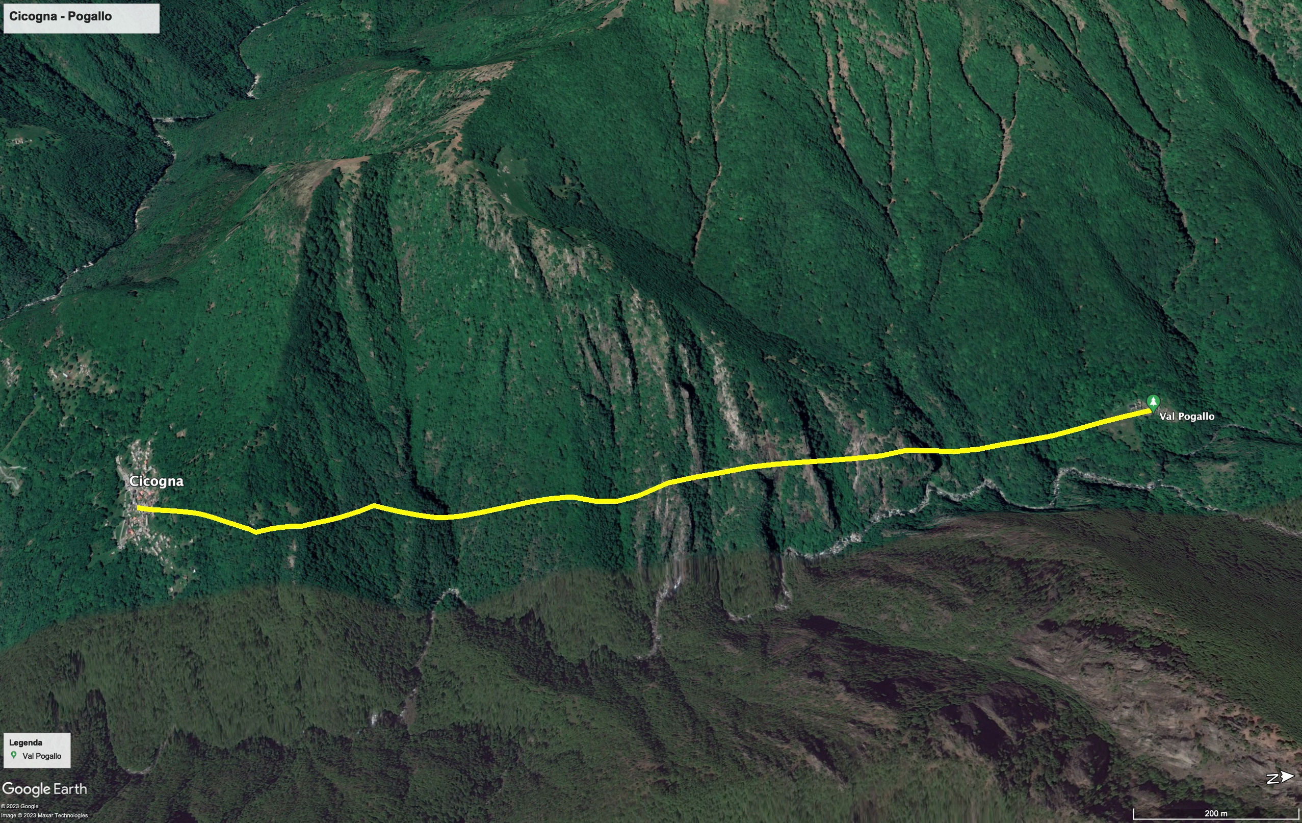
Trekking Map
That's all! If you like this text or have any question, leave a comment below.


Comments powered by CComment